Hünstollen: An Iron Age and Medieval Hilltop Fortification
Site at a Glance
- Popularity
- Low
- Country
- Germany
- Primary era
- Iron Age
- Eras represented
- Iron Age, Medieval
- Civilizations
- Holy Roman Empire
- Site type
- Military
- Remains
- Fort
On this page9 sections
History
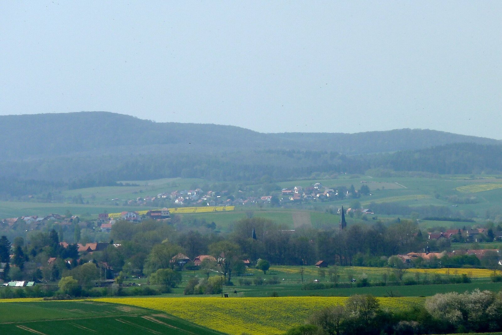
Hünstollen is a hilltop fortification on a wooded hill in Bovenden, Germany, with evidence of activity around 500 BCE and again from the ninth to twelfth centuries. The earlier activity belongs to the pre-Roman Iron Age, a broad prehistoric period marked by widespread use of iron tools; the later phase falls in the High Middle Ages. The enclosure’s broad interior served as a refuge for people from the surrounding area, who brought their belongings there during times of insecurity.
Small-scale excavations in 1905 and 1959 revealed scattered traces of settlement, along with pottery fragments and a few metal finds. The excavation observations and recovered material support an interpretation of two distinct phases of activity.
Remains
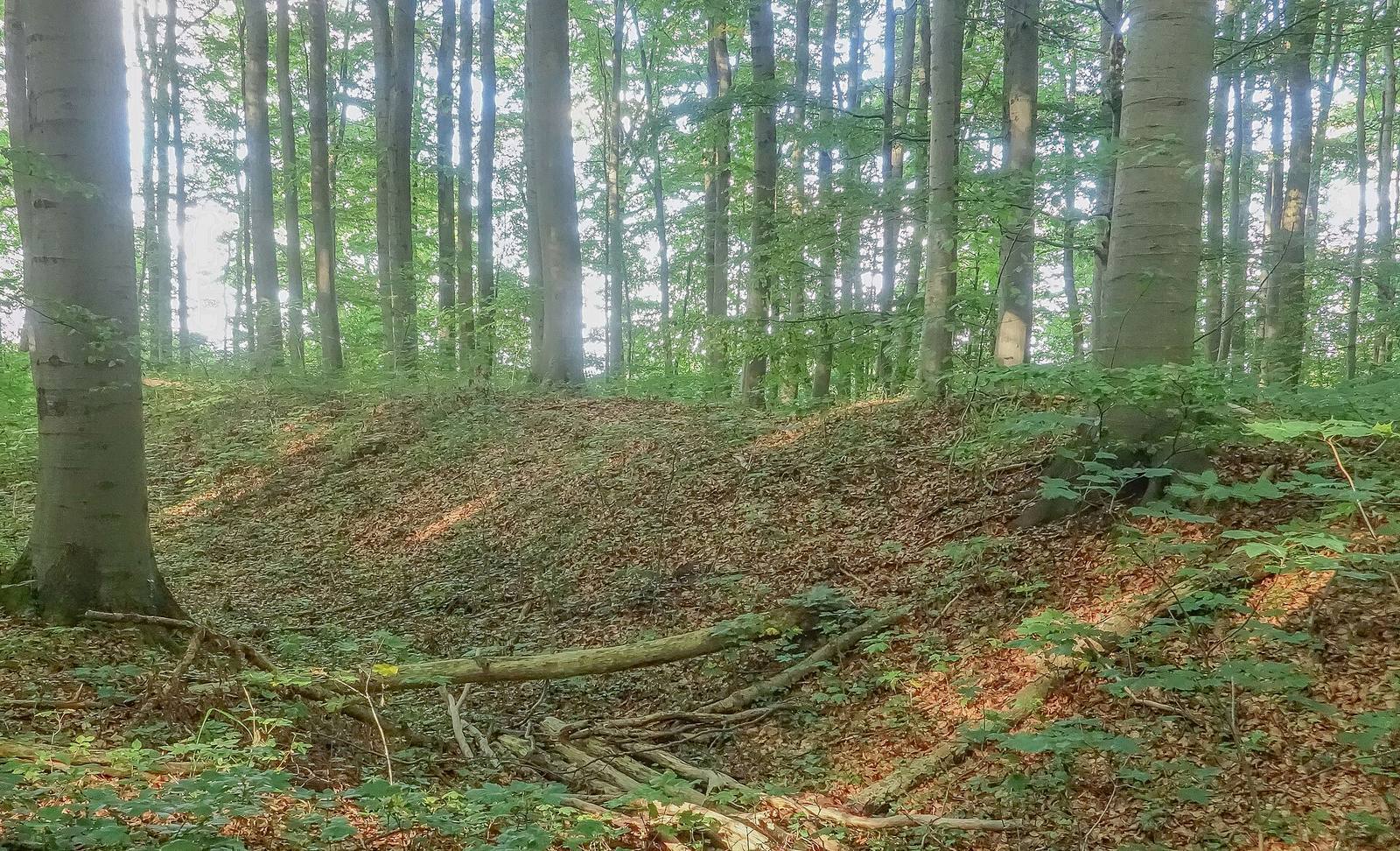
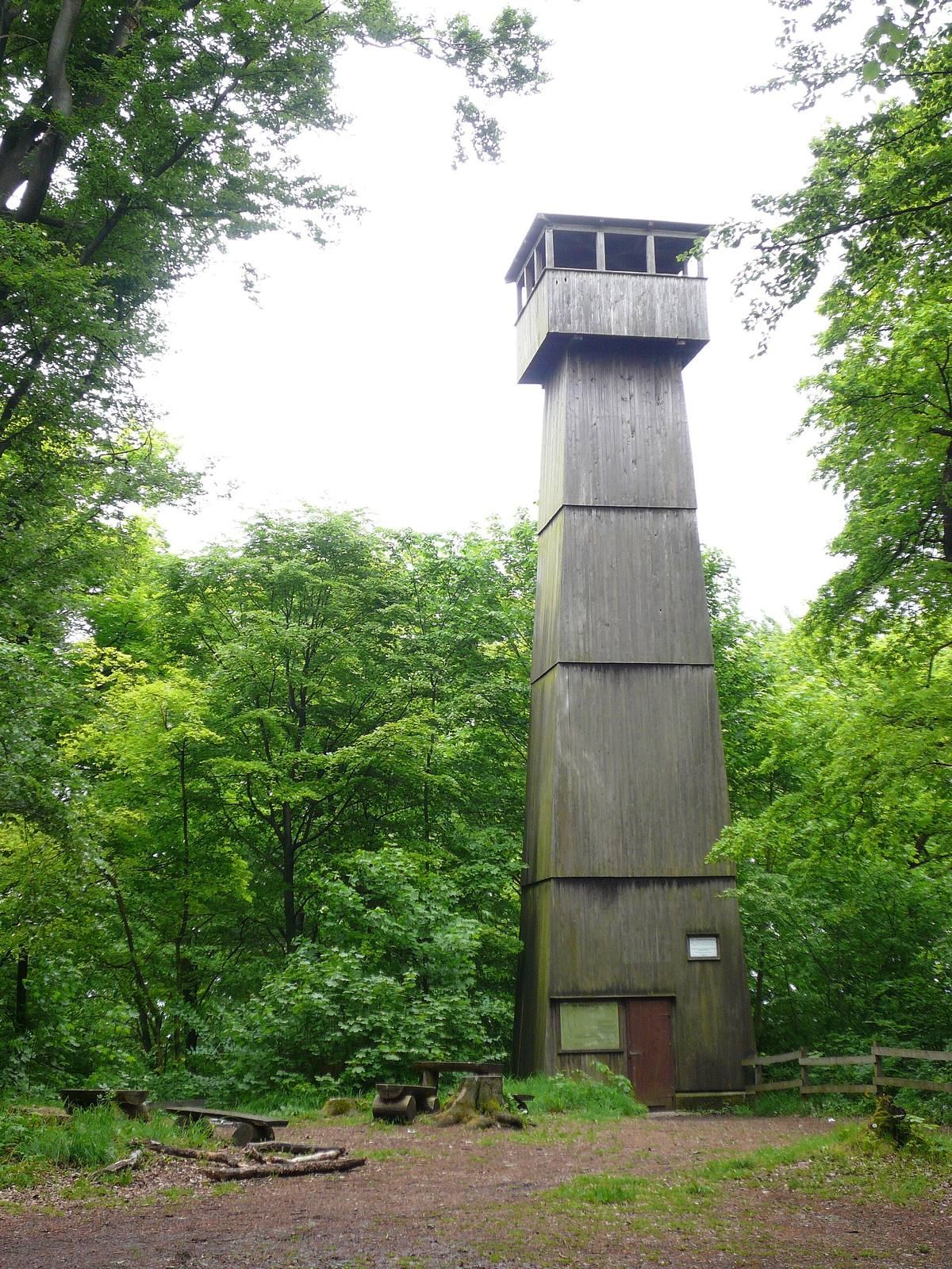
The fortification occupied a wooded hill rising to 423.7 m in the northeastern Göttingen Forest, about 1.7 km northwest of Bösinghausen. Its enclosure measured about 220 m long and up to 185 m wide. Steep slopes protected three sides, while three successive ramparts paired with ditches defended the more exposed western side. The site is also associated with the Hünstollen observation tower.
Ramparts and entrance
Inner rampart
The inner rampart consists of collapsed stonework and belongs to the medieval phase. In its southern section, the wall was mortared and about 1 m wide. Farther north, it measured 1.40 to 1.90 m across and was built without mortar, with stone faces around an inner core. The wall may have continued around the whole mountain spur, while remains are confirmed at least on the north side.
Middle and outer ramparts
The middle and outer ramparts are Iron Age earthworks, each with an external V-shaped ditch and no timber inserts. The middle rampart had a stone facing on its front. In the Middle Ages, the outer ditch was widened into a flat-bottomed ditch, and the excavated earth was used to raise the rampart.
Entrance and track
The original entrance lay on the southern side, along the steep slope. A forest track cuts through all three ramparts about halfway along their length.
Features within the enclosure
Building behind the gate
A building measuring 2 by 3.50 m was excavated immediately behind the gate in the inner wall. Its date is uncertain.
Medieval lime kilns
Several shallow rises within the enclosure mark medieval lime kilns, furnaces used to make lime by heating limestone.