Tell Keisan: An Ancient Settlement Mound in Israel
Site at a Glance
- Popularity
- Low
- Country
- Israel
- Primary era
- Bronze Age
- Eras represented
- Bronze Age, Classical, Medieval
- Civilizations
- Achaemenid, Byzantine, Roman
- Site type
- City
On this page21 sections
History
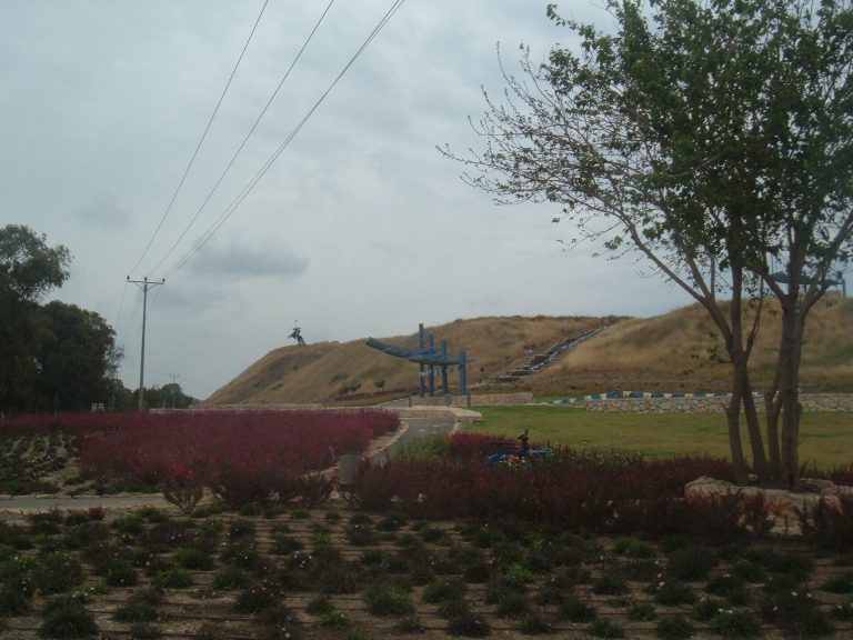
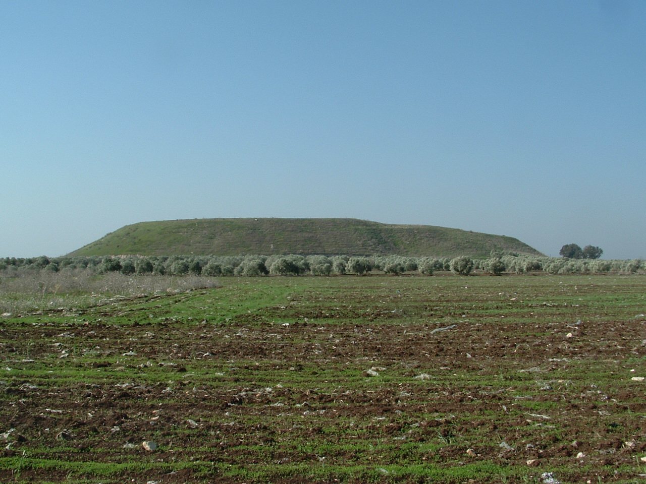
Tell Keisan, also known as Tel Kisson, is an ancient settlement mound in Tamra, Israel, in the Galilee. A tell forms as the remains of successive settlements accumulate in one place. The mound lies about 8 km from the Mediterranean coast and 7.5 km southeast of Acre, near a branch of the Via Maris, an ancient route between Egypt and Syria. It may have served as an important grain store for Acre, in a productive agricultural region known especially for olive oil. The Arabic name has been translated as “mound of treachery.” Proposed identifications with Achshaph, Cabul, Kishion, Allammelech and Mishal remain uncertain.
Bronze Age settlement
Occupation at Tell Keisan reaches back to the Chalcolithic period. Excavations distinguished 16 successive layers, spanning the Early Bronze Age through the Hellenistic period. The settlement was large and prosperous during the Early and Middle Bronze Ages, but contracted in the Late Bronze Age. A destruction layer dates to around the beginning of the 12th century BCE. Calibrated charcoal dates place the beginning of Layer 13 between 1237 and 1107 BCE, and its end between 1160 and 1034 BCE.
Phoenician and Iron Age phases
Settlement resumed in the second half of the 11th century BCE. Finds from the Iron Age reflect Phoenician culture, associated with the seafaring peoples of the eastern Mediterranean. The site may have been an enclave connected to Tyre, a major Phoenician city, and its regional setting included links with neighboring Israel and long-distance exchange. Its Iron Age deposits preserve a well-defined sequence. The settlement was destroyed and abandoned in the 8th century BCE, occupied again in the 7th century, then destroyed once more near that century’s end. Material from the later occupation includes evidence of the Neo-Assyrian era, when the Assyrian Empire expanded across the region. Dates for Layer 9 place its beginning between 994 and 950 BCE and its end between 949 and 917 BCE.
Persian and Hellenistic periods
People returned during the Persian and Hellenistic periods, the latter following Alexander’s conquests and associated with Greek cultural influence. Excavations in 2018 identified remains interpreted as a Persian military outpost. Its possible role in the Achaemenid Persian invasion of Egypt in 525 BCE remains uncertain. The Greek historian Diodorus Siculus and geographer Strabo wrote that Cambyses II, the Persian king, gathered a large army on the plains near Acre before attacking Egypt. Persian fortifications at the site were later heavily damaged during Alexander the Great’s 4th-century BCE campaign against the Achaemenid Empire in the Levant. At its Hellenistic peak, the settled area, including the mound, covered about 140 dunams, a unit of land area. Tell Keisan was abandoned again in the 2nd century BCE.
Roman, Byzantine and medieval use
Roman-period artifacts and a paved road indicate activity during Roman rule. In the Byzantine period, a church was built on the mound and remained in use until the 7th century CE. In the 12th and 13th centuries, Crusader forces and Saladin’s army fought over Acre, whose control changed hands repeatedly. Tell Keisan served as a base for Saladin during the siege of Acre involving Guy of Lusignan, Richard I of England and Philip Augustus of France.
Ottoman rule and the 1948 war
The settlement became part of the Ottoman Empire in 1517. A census dated to 1596, possibly referring to 1548/49, lists six Muslim households at Tall Kisan in the nahiya (subdistrict) of Acca, within the liwa (larger district) of Safad. Their taxes amounted to 16.6 percent on wheat, barley, cotton, occasional revenues, goats and beehives. The recorded values were 1,950, 770, 1,200, 50 and 125 akçe respectively, for a total of 4,095 akçe. The akçe was an Ottoman unit of currency.
During the 1948 war, after the Haganah, the principal Jewish military organization in Mandate Palestine, captured Acre in mid-May, Tell Keisan remained an Arab outpost held by the Army of Salvation, an Arab volunteer force. At the beginning of Operation Dekel, an Israeli military offensive in July, troops of the 71st Battalion, 7th Brigade, captured the mound without losses.
Excavations
The Neilson Expedition excavated Tell Keisan in 1935–36 under John Garstang and A. Rowe. A large trench exposed deposits from Early Bronze III through the Hellenistic period. A French team from the French Biblical and Archaeological School in Jerusalem worked at the site from 1971 to 1976 under Roland de Vaux, J. Pringnaud, J. Briend and Jean-Baptiste Humbert. Humbert led further excavations in 1979–80. This work contributed to understanding the Iron Age of the region.
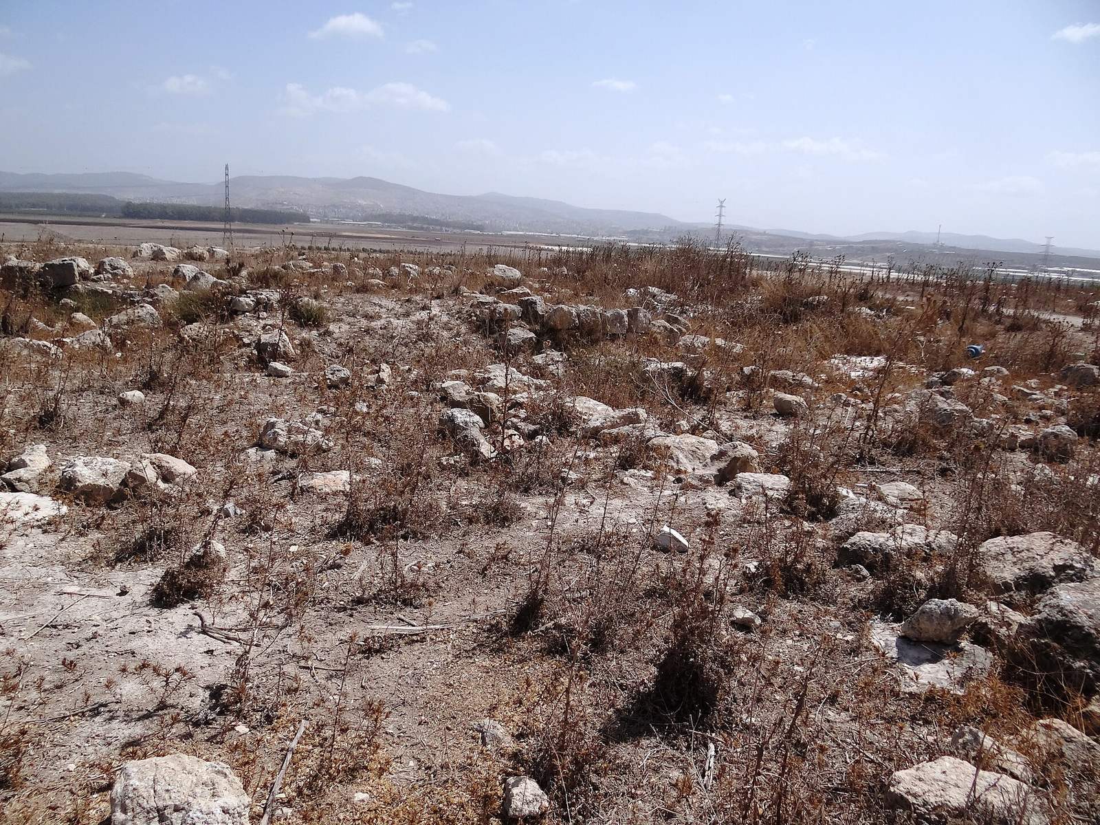
In 2002, the Israel Antiquities Authority conducted a rescue excavation north of the mound in response to sewer construction. Work continued in smaller operations around the mound’s wall in 2005–06. Excavations begun in 2016 by the University of Chicago’s Oriental Institute, now the Institute for the Study of Ancient Cultures, and Ben-Gurion University of the Negev were led by David Schloen and Gunnar Lehmann. The teams opened two pits in 2016, expanded Area E in 2018 and also excavated a small square in an earlier area.
Remains
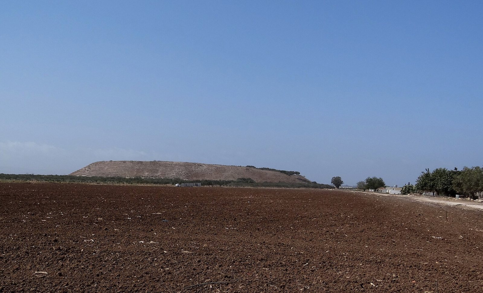
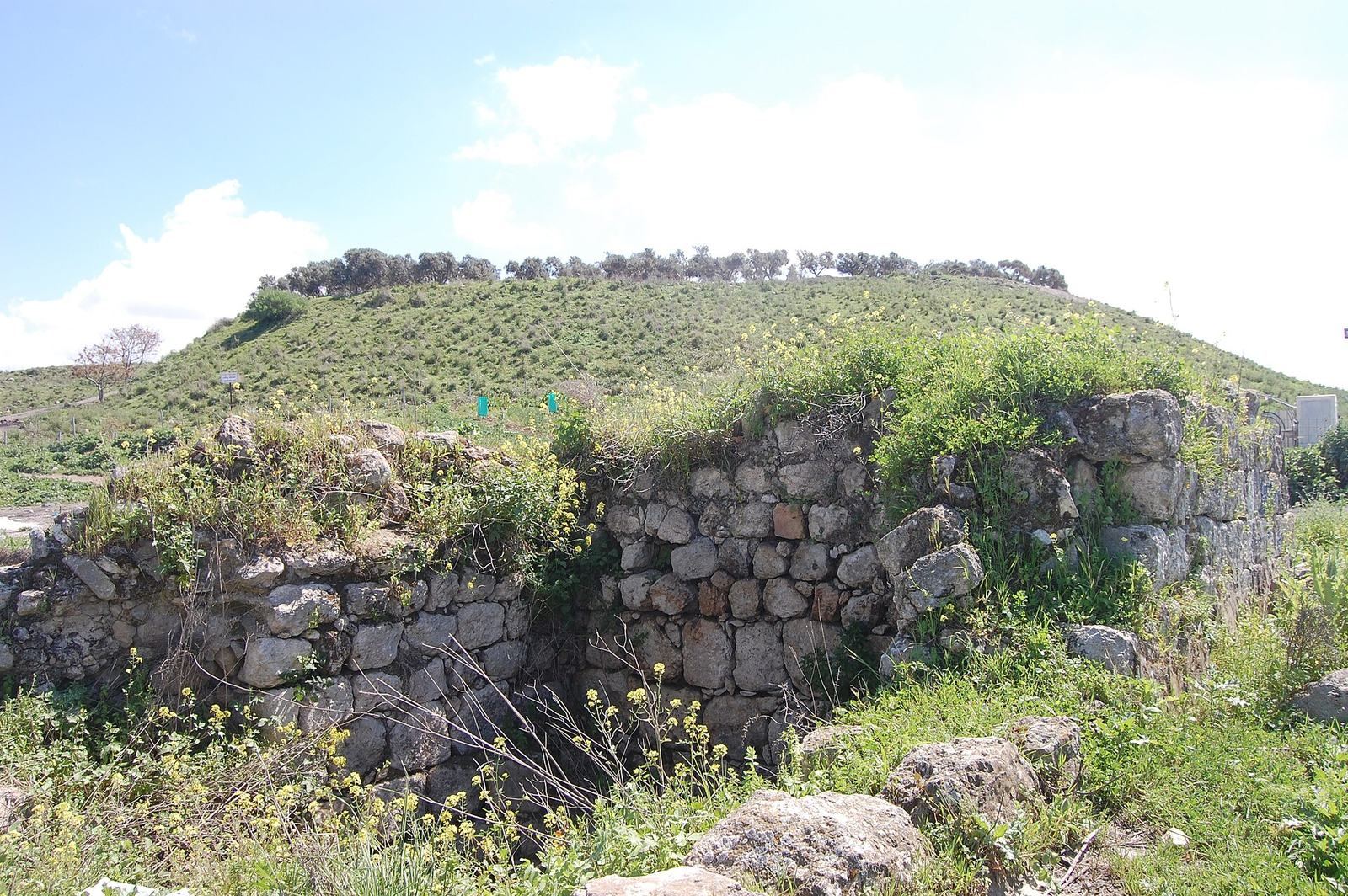
The mound rises above the plain and covers about 15 acres, or 6.1 hectares. It measures roughly 350 m from east to west and 250 m across, rising about 30 m above the plain; its summit is about 40 m above sea level. The site is now within a privately owned farm, and part of the mound is cultivated as an olive grove.
Mound and surrounding settlement
The mound
An 1881 survey measured the mound at about 350 paces long, up to 125 paces wide and roughly 130 feet high. It described slopes on the north and south sides, which may have resulted from lowering the ground around the mound. Pottery fragments, mosaic cubes and scattered stone heaps from destroyed buildings lay across the summit plateau.
Settlement beyond the mound
In some periods, settlement extended beyond the mound itself. Excavations to its north found remains from the Early Chalcolithic, Hellenistic and Crusader–Mamluk periods.
Fortifications
Bronze Age defenses
Early and Middle Bronze Age defenses included a stone wall and a glacis, a sloping bank or revetment that strengthened the approach to a fortification.
Persian defenses
Fortifications from the Persian period were also present at the site. Their archaeological context includes the remains interpreted as a military outpost.
Roman and Byzantine features
Roman road
A major road ran along the western side of the mound and was paved during the Roman period.
Church and cross carving
Excavations uncovered a church at the top of the mound. A stone carving of a cross found at the site dates to the 6th century CE.
Excavated objects
Silver hoard
A silver hoard weighing 345 g was found in a courtyard of a domestic complex, inside a Phoenician jug decorated in two colors. It came from Layer 9a in Area B, excavation context L635. Its exact placement is uncertain: it may have been buried in the courtyard or left there before a collapsed wall covered it. The hoard included cut silver, sheets, wires, rods, jewelry fragments and four linen-wrapped packets of cut silver sealed with clay seal impressions. The packets weighed 24.5 g, 25 g, 32 g and 100 g. Four seal impressions carried traces of fabric. Two used the same beetle-shaped seal; the other two showed a rider on an animal and have been attributed to the Late Bronze Age. Cloth samples from the hoard produced calibrated date ranges of 1210–1010 BCE and 1040–920 BCE.
About 42 cut-silver pieces weighed between 0.1 and 1.5 g and included square, rectangular, triangular and pyramid-like forms. Four sheets were decorated; five others were copper covered with silver. The sheets weighed 0.2–2 g. Three round, flat-sided silver tokens, one cut, weighed 0.1–1 g, though their use as payment is uncertain. The collection also held 13 thin wires weighing no more than 0.5 g and eight thicker, round wires weighing 1–20.89 g. Some thin wires had been cut deliberately, while others had broken. A copper wire with a silver coating may have been an attempted imitation. Damaged jewelry included a decorated broken earring; the fragments weighed no more than 0.5 g, and some contained relatively high proportions of gold.
The silver contained 19 ± 12.6 percent copper, a proportion interpreted as evidence that copper had been deliberately added. This finding has challenged the idea that silver hoards west of the Jordan followed consistent quality controls. Isotope ratios measured in two pieces have also been interpreted as evidence of an early renewal of trade with Anatolia after Late Bronze Age exchange networks collapsed.
Imported pottery and transport jars
Dozens of transport jars with two large loop handles rising above the rim were found at Tell Keisan. One double-coned type dates to about 700–650 BCE. Mineral and chemical analyses indicate that these jars were made elsewhere and link their clay to Kalopsida in eastern Cyprus, rather than Rhodes. The clay occurs in buff-pink and grey-green forms with the same chemical composition; the difference in color is attributed to firing conditions.
A Mycenaean stirrup jar, a handled vessel with a narrow pouring opening, came from Layer 13 and dates to about 1200 BCE. Chemical analysis traced it to Kouklia. The comparatively large number of bevel-rimmed bowls found at Tell Keisan, compared with nearby sites, has been taken to suggest a strong connection with Cyprus.
Other finds
Excavations from 1971 to 1980 recovered terracotta bust-like ornaments from Layer 4, a fragment of a Neo-Assyrian tablet written in cuneiform, a system of wedge-shaped marks, and 44 coins dating from the 5th century BCE to the Islamic period. The tablet fragment contains a ration list. Two coins of Antiochus III came from Area A in the 2002 excavation. A seal found in 1972, identified as the personal seal of Nahmanides, bears the inscription “Moses son of Nahman” and refers to Girona. Nahmanides was a medieval Jewish rabbi and biblical commentator.