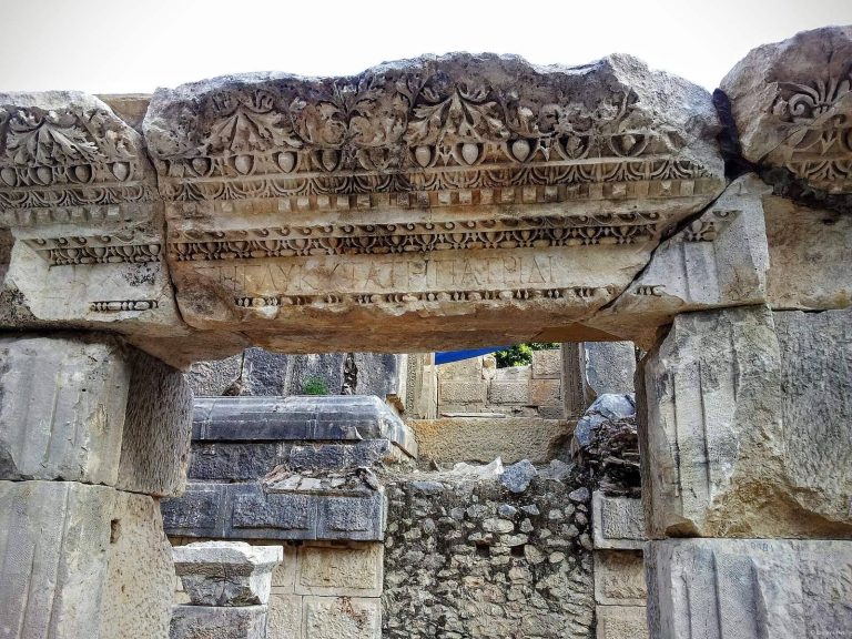
Idebessos: An Ancient Lycian City in Türkiye
Site at a Glance
- Popularity
- Medium
- Country
- Turkey
- Primary era
- Classical
- Eras represented
- Classical, Medieval
- Civilizations
- Byzantine, Lycian, Roman
- Site type
- City
On this page17 sections
History
Idebessos is an ancient Lycian city near Karacaören in Kumluca, Antalya Province, Türkiye. Its history reaches back at least to the Hellenistic period, the era following Alexander the Great. A coin from the earlier Classical period has been attributed to the city, but that identification is disputed.
Hellenistic and Roman periods
Idebessos joined the Lycian League, a federation of cities in Lycia, when the League was founded in 168 BC. Inscriptions describe the settlement as a polis, or city-state, and record its participation with Akalissos and Kormos in a sympoliteia, a political association involving shared civic arrangements. Akalissos led the association, which held one vote in the League during the period of Roman rule.
Ancient and medieval texts preserve several forms of the city’s name. Lycian writer Capito included a town called Edebessus in his eight-volume Isaurica, a history of Isauria. The geographical register known as the Synecdemus lists Elebesus; a 1735 edition amended the name to Edebessus, while an 1866 edition proposed that the entry might refer to Lebissus or Libyssus. A 2005 investigation suggested that Idebessos might be the bishopric town called Lebissos or Lemissos. A Catholic list of former bishoprics, however, distinguishes Idebessos at modern Kozağacı from Lebessus at Kayaköy, listing both as subordinate to Myra.
Byzantine period
The city remained inhabited during the Byzantine period, the medieval eastern Roman Empire, though the date when it was deserted is unknown. The elevated fortified area, or acropolis, was probably enclosed as a castle in the seventh or eighth century, as Arab raids increased during wars between the Byzantine Empire and Arab powers. The defenses enclosed a church and reused building material from Roman structures.
Rediscovery and investigation
In 1842, T. A. B. Spratt identified the ruins as Idebessos. The British naval officer and surveyor examined the site over two days and copied inscriptions. Later scholars made smaller investigations, and a detailed survey of the remains was completed in the 2000s.
Remains
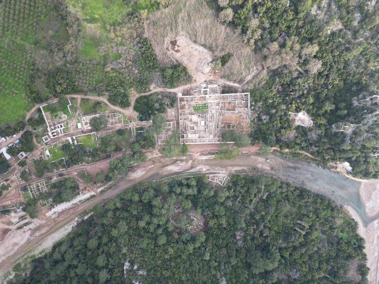
Idebessos extends for about 360 by 160 metres, an area of roughly 5.76 hectares, on wooded ground at an elevation of approximately 1,050 metres. It lies at the foot of the Bey Mountains, west of the Alakır River valley, about 21 kilometres north-northwest of Kumluca and 7 kilometres north of Akalissos. Arykanda, approximately 18 kilometres away, was described as the nearest large city in antiquity. Larger public buildings and the necropolis occupy flatter ground to the west, while most houses stood on the eastern slope. Terrace walls widened parts of that slope and formed narrow corridors between dwellings; most houses are now heavily damaged.
Public buildings
Theatre
The Hellenistic Greek theatre was built into the northwestern slope of the acropolis hill. Its estimated seating capacity was up to 364 people, and the remains are reasonably well preserved.
Bath and exercise complex
The bath-gymnasium complex was probably built by the second century AD. It contains seven separate units and a palaestra, an exercise or wrestling ground. A small canal carried water from a stream north of the city. The baths are among the better-preserved remains.
The acropolis
Defenses
The acropolis occupies the settlement’s southeastern part, covering about 120 by 150 metres and rising around 10 metres above the city centre. Walls defended its northern and western sides and were strengthened with three towers. Steep rock faces protected the east and south, where a terrace wall also stood. Traces of two gates on the western side and one on the northern side remain.
Heroon and cistern
A one-room Roman-period heroon, a tomb or memorial associated with a prominent figure, stood on the acropolis. It was later converted into a cistern during the Byzantine period.
Monumental tomb and statue bases
The most monumental tomb identified on the acropolis lay near its centre, together with statue bases.
Churches
Acropolis church
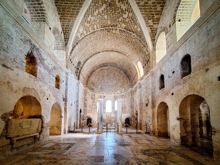
A church on the acropolis was probably built in the fifth or sixth century AD. It was a three-aisled basilica, a church with a central nave and side aisles.
Northern church
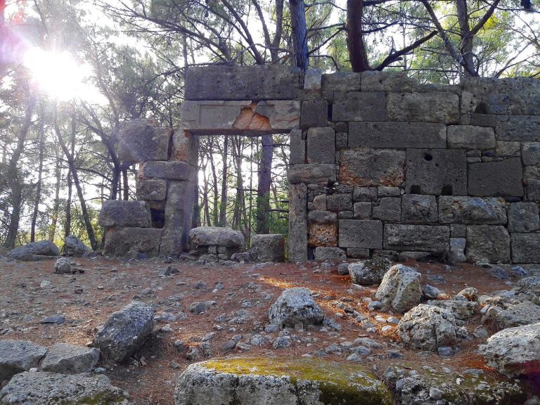
The settlement’s largest church stands along the main street and measures about 15.3 by 28.15 metres. Probably built in the fifth or sixth century AD, it is a three-aisled basilica with an entrance vestibule. Its remains are reasonably well preserved.
Southern church
A small church with three apses, or rounded sanctuary ends, lies south of the settlement in the necropolis, in the southwestern part of the acropolis. It is entirely ruined and may have been built later than the other two churches.
Street and burial areas
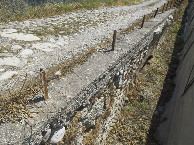
A main street entered the settlement west of the acropolis and continued north. From south to north, a theatre, the bath-gymnasium complex, and a church stood along it. The area between the theatre and baths formed the public centre; a broad, level space there is thought to have served as an agora, or civic square and marketplace.
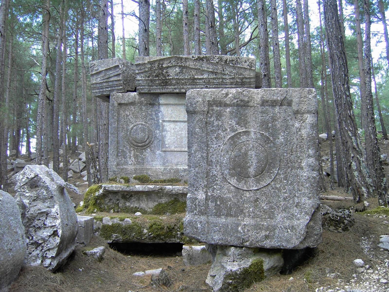
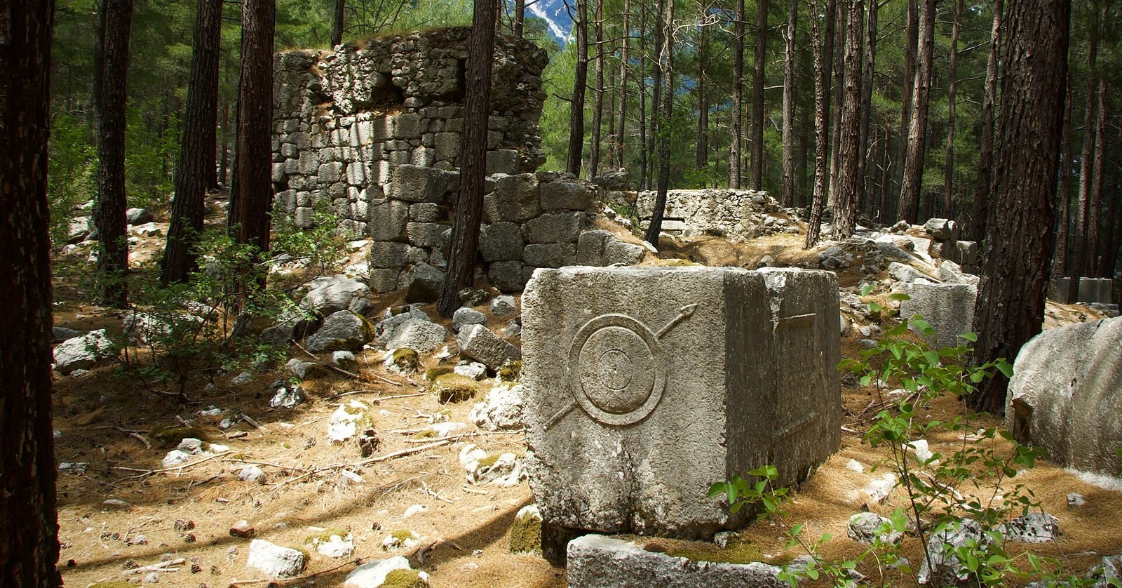
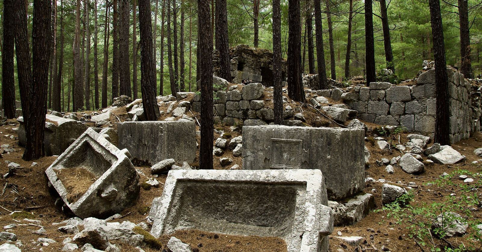
The necropolis extends along the main street and is especially dense near the settlement’s centre, an arrangement unlike the more usual location of cemeteries outside settlements beside roads. It contains 51 sarcophagi, or stone coffins, and four tombs with semicircular recesses set on raised platforms. Some sarcophagi bear shield-and-spear designs. The necropolis is reasonably well preserved.