Buckland Rings: An Iron Age Hillfort in Lymington
Site at a Glance
- Popularity
- Medium
- Country
- United Kingdom
- Primary era
- Iron Age
- Eras represented
- Iron Age
- Civilizations
- Unclassified
- Site type
- Military
- Remains
- Fort
On this page10 sections
History
Buckland Rings is an Iron Age hillfort, a fortified enclosure often set on raised ground, at Lymington in the United Kingdom. The Iron Age was the period when iron became widely used in Britain before the Roman conquest. The fort’s beginnings may date to around the fifth century BC, although its chronology remains debated.
Iron Age use and dating
Later interpretations suggest that the enclosure may have started with one bank and ditch during the Early to Middle Iron Age, then been refurbished and enlarged with outer defenses. It may have fallen out of use by the first century BC. Christopher Hawkes, who led the 1935 excavation, instead argued that it was built in the first century BC and destroyed around AD 43, possibly by the Romans.
The nearby enclosure of Ampress Camp may have served as a beachhead for people living at Buckland Rings, or it may belong to a different phase of Iron Age activity.
Early interpretations
Thomas Wright visited in 1743 and drew a plan that became valuable after parts of the eastern earthworks were later leveled. He noted Ampress Camp and a nearby farm he understood to be called Ambrose Farm, and proposed that Buckland Rings might have been a principal station of Ambrosius Aurelianus, a figure associated with resistance to invaders in post-Roman Britain. In 1793, Richard Warner expanded this idea with the imaginative suggestion that invaders had driven Ambrosius to the Lymington area.
Some earlier observers had classified the fort as Roman. After examining it in 1885, the Hampshire Field Club and Archaeological Society urged that the Roman label be removed from future Ordnance Survey maps.
Investigation and preservation
Preparatory work in 1934 preceded three weeks of excavation in 1935 under Hawkes’s supervision. The work concentrated on the eastern entrance and the inner and middle banks and ditches. In 1993, a magnetometry survey, which maps variations in ground magnetism to locate possible buried features, traced the defensive circuit, identified Hawkes’s excavation areas and partly defined the entrance. Geological conditions limited the detection of features such as posthole structures, and the survey left the extent of settlement activity unresolved.
A proposal to build a leisure centre within the fort was rejected after a public inquiry in 1988. Hampshire County Council acquired the site in 1989 to preserve it and has retained its care and ownership. Buckland Rings is a Scheduled Ancient Monument, a site protected through statutory designation in England.
Remains
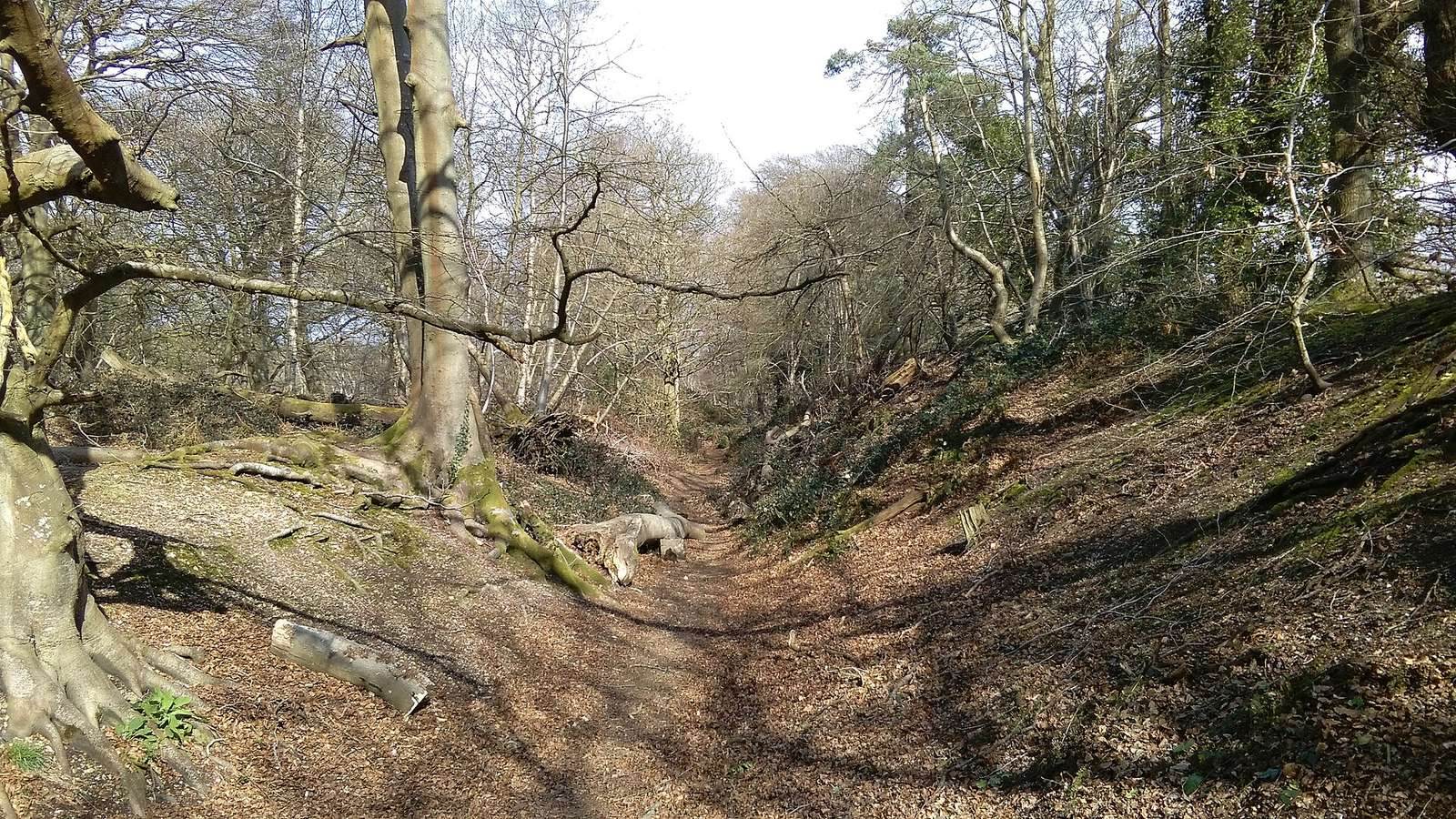
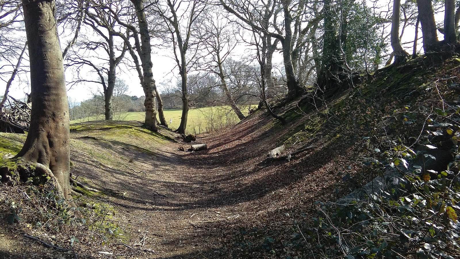
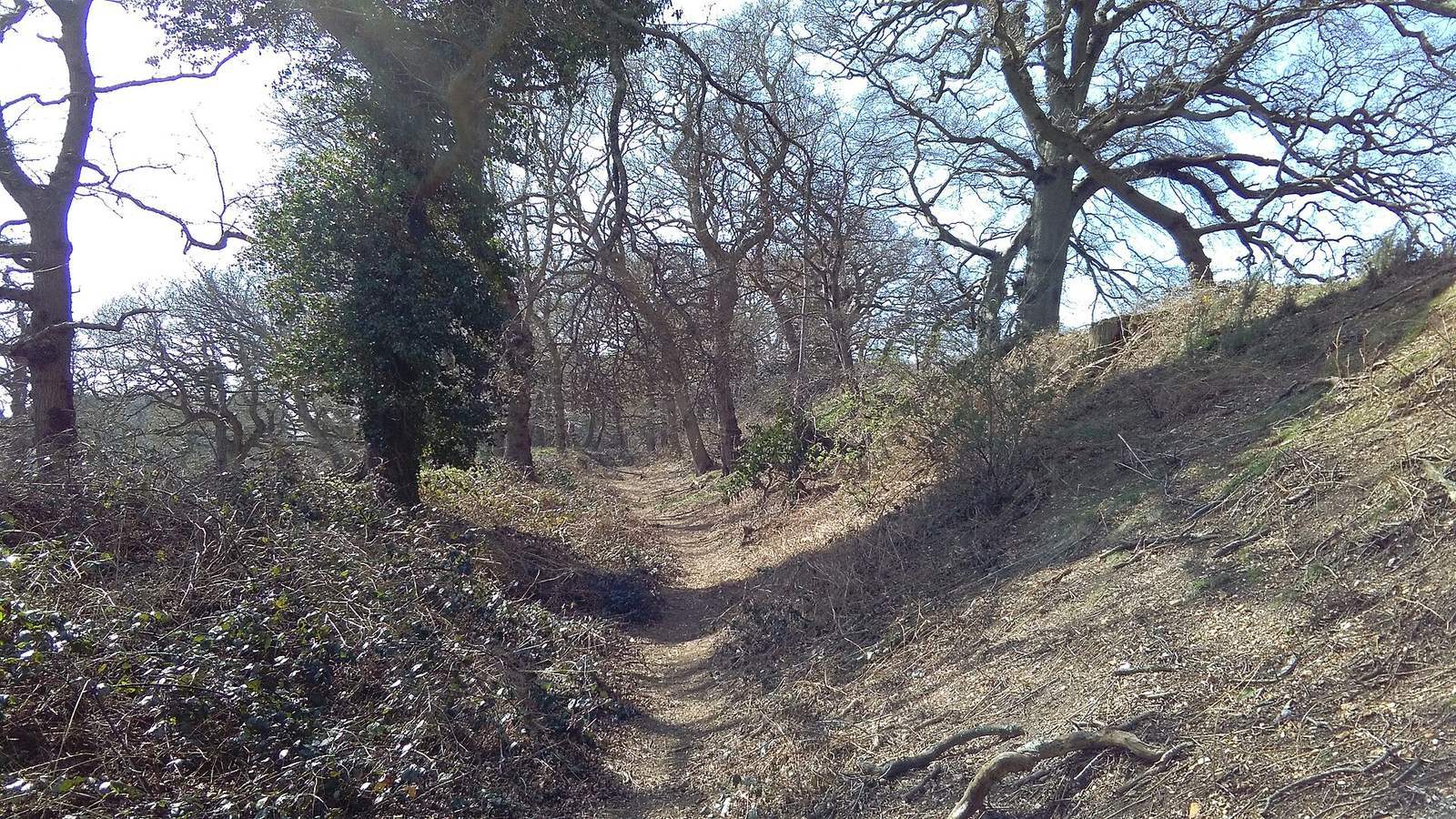
The fort occupies a gravel spur 27 metres above sea level and covers 2.8 hectares. Its rectangular enclosure is defined by three banks and two ditches, much of the earthwork system surviving well. Lowland hillforts are rare in the Hampshire–Dorset basin.
Ramparts and ditches
Inner bank and ditch
The inner bank stands 2.4 metres high beside a V-shaped ditch measuring 3.5 metres deep and 8.8 metres wide. Excavation showed that the bank’s earth core used sand and gravel dug from the ditches. Cut and laid turf formed its facing, reinforced by upright timbers supporting horizontal timbers at the front. A further row of postholes lay 5.8 metres behind the front posts. These may have held anchor timbers, though the gap between the rows seems wide for straightforward cross-bracing.
Middle and outer defenses
The middle bank is lower than the inner one but unusually broad, and its ditch is smaller. A single posthole was found there; the bank is thought to have shared the inner bank’s earth-filled construction, timber supports and turf facing. On the western side, the outer bank runs beneath the road. Parts of the eastern earthworks were leveled around 1750, and the southeastern section is now nearly level. Two houses were built inside the fort’s western end in the early twentieth century.
Eastern entrance
The entrance passage extended about 60 metres from the outer edge of the second ditch to gates at its inner end. It was generally 8 to 12 metres wide, narrowing to roughly 3 to 3.5 metres at the gates. Timber gate supports stood in two postholes, each 90 centimetres across.
Excavated finds
Finds from the excavation include a small iron chain formed from a circular ring and the remains of five oval links, along with several fragments of Iron Age pottery. A bronze tube fragment is thought to be a horn-cap, a fitting believed to have been mounted on the ends of chariot yokes. The excavated objects are held in Winchester.