Pierres Plates: A Neolithic Tomb at Locmariaquer, France
Site at a Glance
- Popularity
- Low
- Country
- France
- Primary era
- Stone Age
- Eras represented
- Stone Age, Modern
- Civilizations
- French
- Site type
- Burial
- Remains
- Tomb
On this page16 sections
History
Pierres Plates is a Neolithic megalithic tomb at Locmariaquer in Brittany, France, and an uncommon bent-passage type found along the coast between the Loire and Blavet estuaries. Its Breton name, Ar Vein Plat, means Flat Stones. The Neolithic was the later part of the Stone Age, when settled farming communities built megalithic monuments in parts of Europe. Pierres Plates is often dated to about 3500–3000 BC, though other interpretations place it earlier.
Dating and prehistoric form
The monument’s date remains uncertain. It is often assigned to the later Neolithic, around 3500–3000 BC, while pottery found during restoration has also been interpreted as pointing to construction in the late fourth or early third millennium BC. Reused fragments of older standing stones and the tomb’s ornamentation have instead been linked with Morbihan monuments dated around 4200–4000 BC. The passage’s bend and side cell may have been added later, although this possibility has received limited attention.
Early investigations
Maudet de Penhoët excavated the tomb in 1813, describing it as a burial place and suspecting that it had been excavated before. Dubois, a member of his team, drew a plan and recorded the interior carvings. Penhoët thought they might be Phoenician writing, referring to the alphabetic script of an ancient eastern Mediterranean people. In 1814, Fréminville visited with Joachim Renaud, who had directed the excavation. Fréminville introduced the name Pierres-Plates and, on returning in 1816, found the monument almost entirely destroyed.
In 1866, de Cussé and Louis Galles of the Société polymathique du Morbihan, a regional learned society, made impressions of engraved stones.
Protection and restoration
Pierres Plates received the French Monument historique designation, a protected heritage status, in 1889. The state acquired the tomb from the hospices of Auray in 1892, cleared it and carried out restoration work. Further restoration followed in 1921.
Wartime threat
In 1942, construction of bunkers for the Atlantic Wall, Germany’s coastal defense system during the Second World War, threatened the tomb. The Organisation Todt, a German state construction organization, had already destroyed several civil and military monuments at nearby Kerpenhir to reuse their stone.
Remains
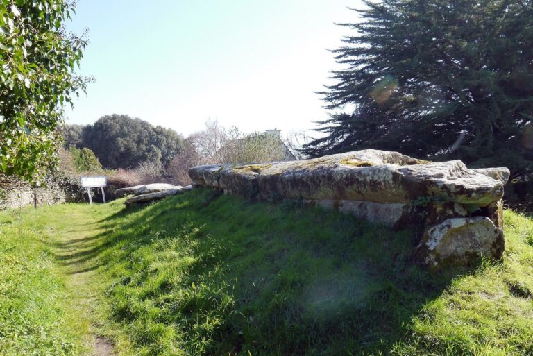
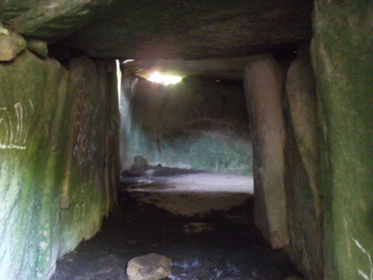
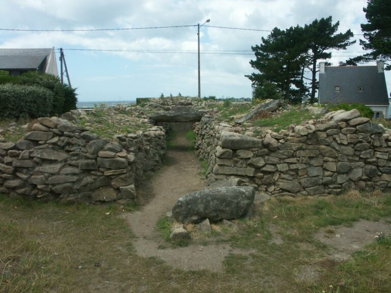
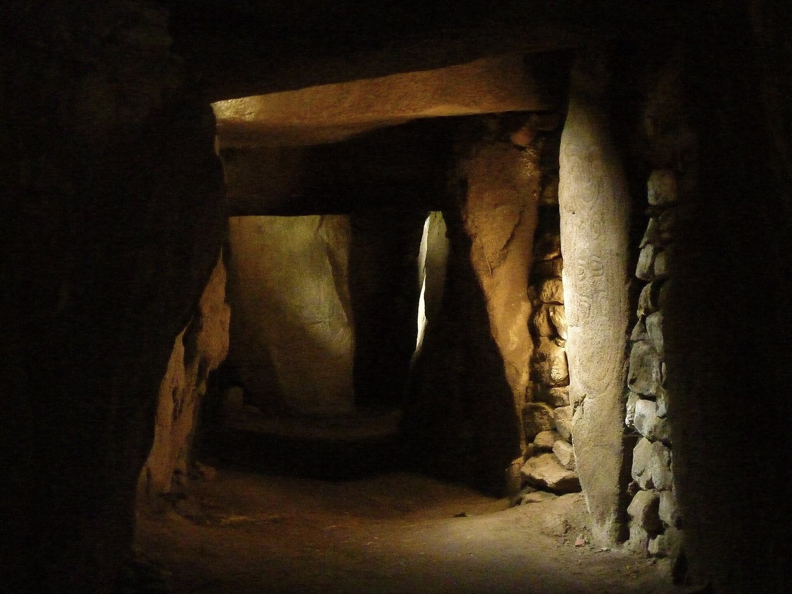
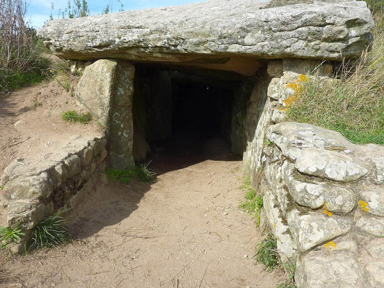
A covered passage, a burial corridor roofed with large stones, forms the main part of the tomb and turns by about 120 degrees. It leads to a terminal chamber, while a rectangular side cell extends south from the bend. The structure is described as having 38 supporting stones and 12 cover slabs. Fifty stones survive from an original total of 70, and most are granite.
The passage and chambers
Entrance and passage
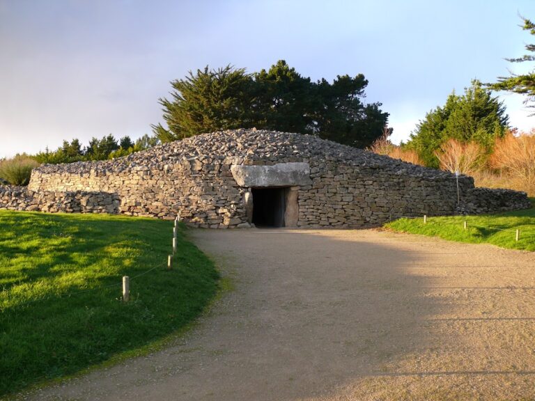
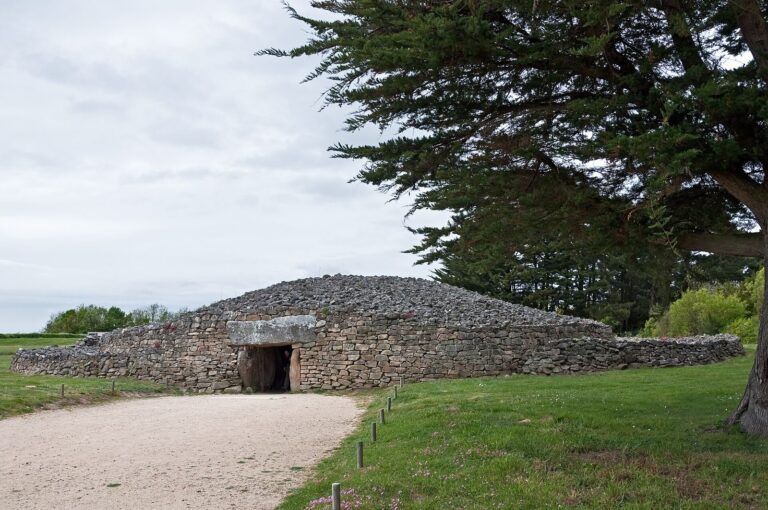
The entrance faces southeast and is about 1.40 m high. A straight section extends for roughly 6 m; the passage’s first 15 m run south-southeast before it turns toward the south-southwest. The full passage is about 27–28 m long. It is approximately 1.20 m wide in its southern section, reaches about 2 m across midway, and narrows to around 1.80 m at the internal partition.
Terminal chamber
Beyond the bend, the passage rises slightly toward a roughly square chamber, about 2 m on each side and 1.75 m high. A tall, broad upright slab separates the chamber from the passage.
Side cell
A rectangular cell at the bend extends southward. It measures about 1.40 by 2.80 m and is formed by three upright stones.
Construction and mound
Uprights and covering stones
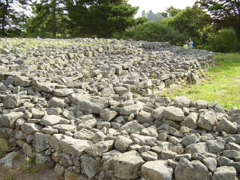
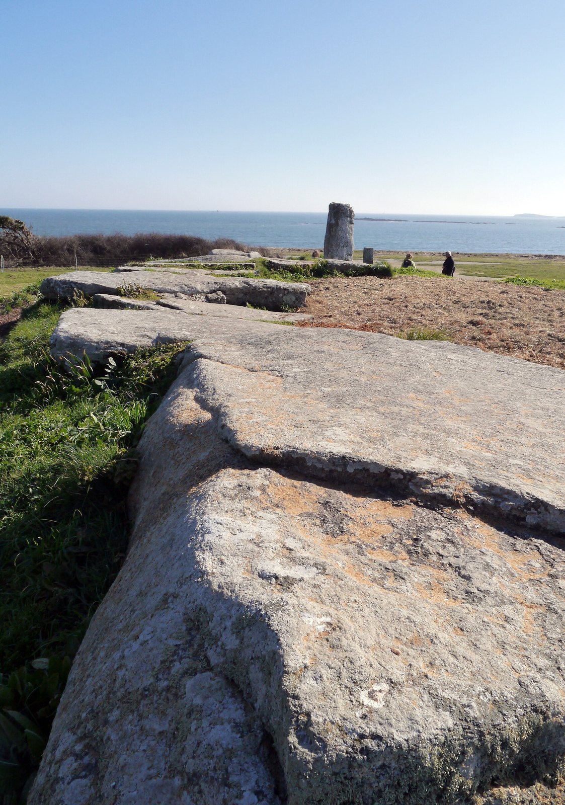
Four stones are made of orthogneiss, a metamorphic rock formed from igneous rock, including the large slab over the main chamber. Two regular orthogneiss cover slabs visible at the chamber end may also be reused material. The orthogneiss pieces are considered possible fragments of a large standing stone that was deliberately broken. The chamber’s cover slab curves slightly downward. Small rubble stones fill much of the wall surface and the spaces above the upright supports. During restoration in 1931, three cover slabs at the bend were replaced, and the rubble walls and lateral bank of sand and earth were renewed.
Mound
Remains of a mound are still visible. The tomb was probably once covered by a mound of earth or stones, known as a cairn, which was later removed, likely by people.
Engraved stones
Carvings appear on at least twelve upright stones whose surfaces were smoothed beforehand. The most common designs are shield-shaped enclosed panels, or cartouches, often divided by vertical lines and containing circles or horseshoe shapes. Other motifs include rib-like forms. Some carvings have been tentatively interpreted as fertility goddesses or a mother-goddess figure, a proposed female deity associated with fertility or motherhood. Rib-like designs were once compared to palms or scarabs, and one image to a Mediterranean cephalopod. One engraved upright is now held at the Museum of Prehistory in Carnac.
Entrance stone
A stone beside the entrance has a flattened top, partly squared edges and numerous cup marks, small cup-shaped depressions in the surface. It was set upright by Zacharie Le Rouzic during restoration work in the 1930s. In the nineteenth century it lay across the entrance and may previously have served as a cover slab. Its prehistoric position and function remain uncertain.
Excavated finds
The 1813 excavation yielded human bones and a funerary urn. Restoration work in 1892 uncovered fragments from three or four coarse pottery vessels, two or three quartz hammerstones, stone tools used to strike or shape other materials, and about twenty worked flints.