Burschel Castle Site: A High Medieval Noble Castle in Germany
Site at a Glance
- Popularity
- Very Low
- Country
- Germany
- Primary era
- Medieval
- Eras represented
- Medieval
- Civilizations
- Duchy of Bavaria, Holy Roman Empire
- Site type
- Military
- Remains
- Castle
On this page9 sections
History
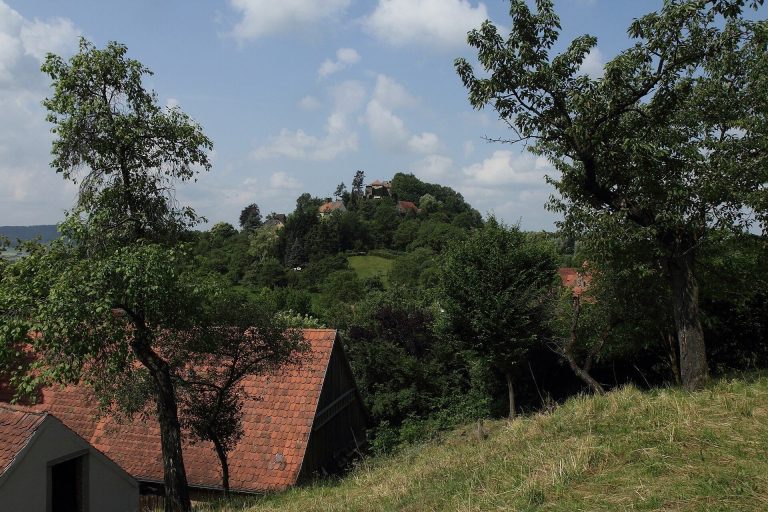
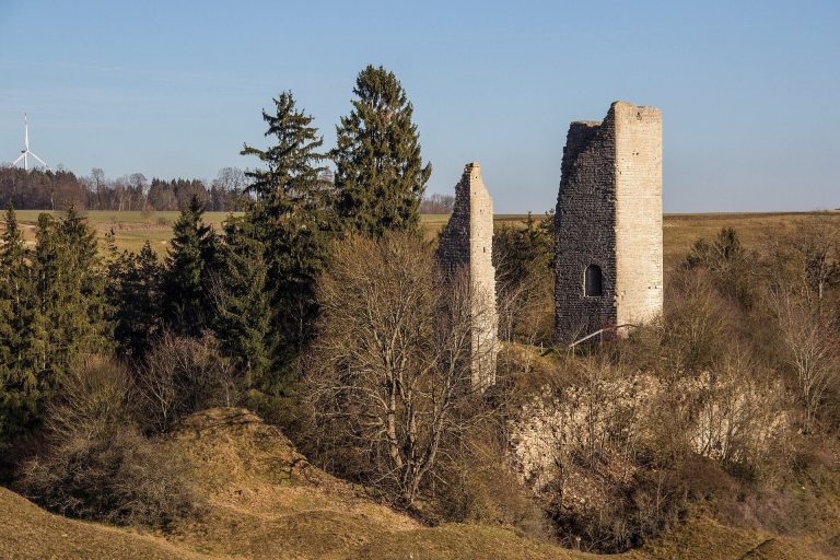
Burschel Castle Site is the remains of a noble castle of the High Middle Ages, roughly the 11th through 13th centuries, southwest of Untermässing in Germany. Above the meeting of the Thalach and Schwarzach, its position enabled control of an important trade route between Ansbach and Regensburg.
Prehistoric and Early Medieval Landscape
Settlement and burial sites lay a few hundred metres away, with evidence reaching back to the Stone Age, Bronze Age, and pre-Roman Iron Age. Their archaeological sequence ends in the second century AD. The Roman frontier lay several hours’ walk to the south, and local settlement was abandoned as conditions became increasingly unsettled. Evidence of activity in the area returns only intermittently during the Carolingian period, the era of the Frankish dynasty founded by Charlemagne, from the eighth century into the early tenth.
The Lords of Höbing
From the 12th century, the castle is recorded as the seat of the local lords of Höbing. Its substantial size may also have allowed it to serve as a refuge for people in the surrounding area during the Hungarian incursions, raids into Central Europe by Magyar forces, especially in the ninth and tenth centuries.
Remains
Castle Layout and Surviving Features
Hilltop Enclosure
The castle occupied nearly seven hectares at the southeastern corner of a prehistoric ringwall, a defensive enclosure around the Auer Berg plateau. The enclosed area was about 400 metres long and 70 metres wide. The plateau’s elongated, strongly oval summit runs roughly north-northwest to south-southeast. It lies at about 510 metres above sea level, while the hill reaches 516.3 metres; steep slopes descend about 120 metres to the surrounding valleys.
Defensive Ditch
A U-shaped defensive ditch cuts across the connection between the castle and plateau. From the eastern edge, it runs about 50 metres west, turns south for roughly 40 metres, then bends east for about 25 metres before ending on the hillside. It is around 4 to 5 metres deep. On the southeast, the roughly rectangular castle area, with one corner cut off, was bounded by the plateau edge rather than by the ditch.
Walls and Interior
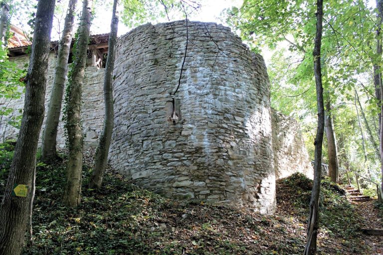
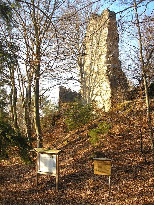
Surviving foundations trace several sections of an enclosing defensive wall. Another wall divided the interior into two parts. Further foundations in the western area probably belonged to the main residential building, while circular foundation remains in the southwest, 9 metres in diameter, may indicate a tower. The ditch and foundations form the surviving remains of the castle.
Chapel
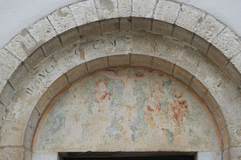
A chapel dedicated to Saint Nicholas, a widely venerated Christian bishop, stood east of the dividing wall. It remained within the castle until the 17th century and was later lost.