Pandosia: An Ancient Greek Fortified City in Epirus
Site at a Glance
- Popularity
- Low
- Country
- Greece
- Primary era
- Classical
- Eras represented
- Iron Age, Classical, Medieval, Modern
- Civilizations
- Ancient Greek, Byzantine, Greek, Ottoman, Roman
- Site type
- City
On this page13 sections
History
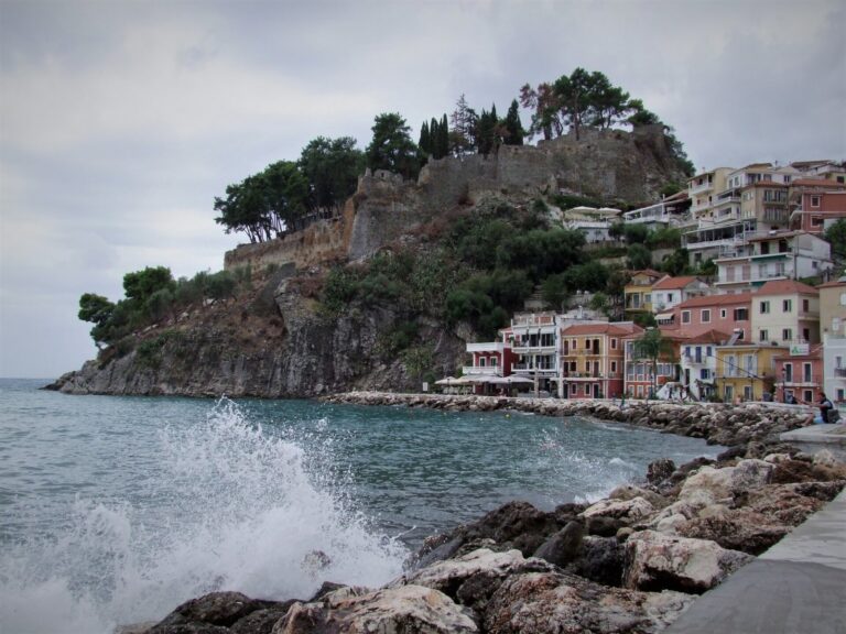
Pandosia was an ancient Greek fortified city near Fanari, Greece, associated with a hilltop site near modern Kastri. Elean settlers from Elis, a region in the western Peloponnese, founded it in the eighth or seventh century BCE in Cassopaean Epirus, among the Thesprotians, an ancient people of Epirus. The city’s position near a crossing of the Acheron later supported its role as a river port and a control point on the route from Apollonia to Actian Nicopolis.
Foundation and Molossian rule
A small settlement may have occupied the hill before the city was founded. The oldest finds indicate Bronze Age activity, but the earlier settlement’s name is unknown. In the fourth century BCE, the Elean Tetrapolis, a political grouping of four cities, helped establish the Epirote Alliance, a political association of communities in Epirus.
In 343/2 BCE, Philip II of Macedon captured Pandosia and transferred it, along with other cities, to Alexander I, king of the Molossians and brother of Philip’s wife, Olympias. A tradition links the transfer to an oracle at Dodona, an ancient sanctuary that delivered religious guidance. The oracle warned Alexander to avoid Pandosia and the Acheron, where he was destined to die. Alexander died in 331 BCE at another Pandosia, in Bruttium in southern Italy, beside a river also called the Acheron. His death there was later understood as fulfilling the warning.
Under Molossian rule, people from surrounding Thesprotian settlements were established in Pandosia, and the city grew. Pyrrhus I, a king of Epirus, is said to have had a palace on the hill.
Independence, Roman conquest, and the Epirote League
After Deidameia, the last ruler of the Aeacid dynasty, died around 230 BCE, Pandosia regained its independence and issued its own coins. In 167 BCE, Roman forces led by Lucius Aemilius Paullus Macedonicus devastated the city and deported its inhabitants. This followed the Third Macedonian War, Rome’s conflict with Macedon from 171 to 168 BCE. The Romans later allowed part of the hilltop defenses to be rebuilt.
Rome also made Pandosia the first seat of an Epirote League for communities that had revolted during the war, seeking to strengthen the colonial population. The Elean settler Menedemos Agiada supervised the League, and the city was permitted to mint bronze coins. After the League’s seat moved to Dodona after 148 BCE, Menedemos held a priestly title.
Roman revival and later phases
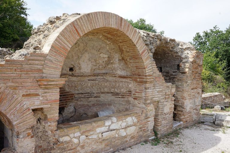
After a period of abandonment, Pandosia revived under Roman imperial rule, the era when Rome was governed by emperors, and remained inhabited into late antiquity, the later centuries of the ancient world. Its position supported river-port activity and control of the land route to Actian Nicopolis. The geographer and historian Strabo also listed Pandosia among the inland towns of the region.
In 31 BCE, after Octavian defeated Mark Antony and Cleopatra at Actium, Pandosia’s inhabitants were compelled to move to the newly founded Nicopolis. The city declined, although it was later partly restored for its strategic value. The hill was refortified under Justinian I, emperor of the Byzantine Empire, the eastern continuation of the Roman Empire. Venice took control in the fifteenth century, and Venetian work is credited with many later repairs to the ancient walls.
A 1994 archaeological survey examined the proposed site at Kastri. Small excavations followed in 2019 and 2021, and the fortifications were measured and recorded.
Remains
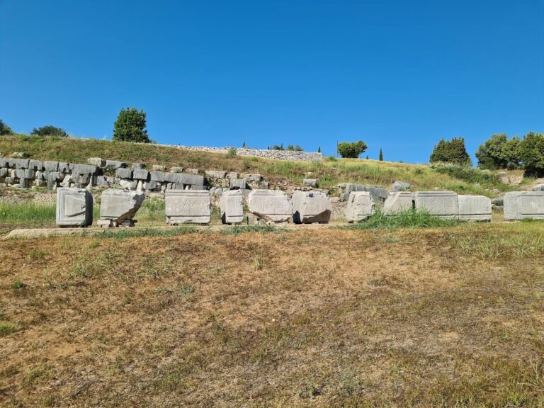
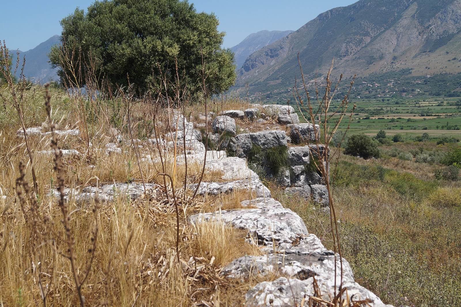
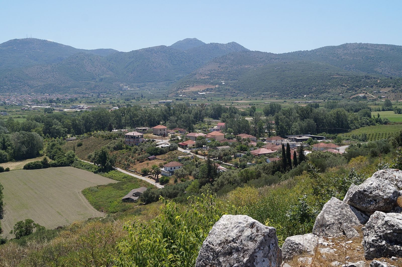
The remains identified with Pandosia extend across a hill about 100 to 107 metres high near modern Kastri. Successive defenses enclosed the summit and slopes, with polygonal masonry, stone blocks of irregular shape fitted together, among the surviving construction. The identification remains uncertain: ancient descriptions place the city south of the Acheron, while the candidate hill lies north of the river’s present course. A former channel may have run northwest of the hill; a site farther inland near Gourana has also been proposed.
Ancient fortifications
Early circuit
The earliest phase of fortification dates to the late fifth or early fourth century BCE. The oldest surviving walls are assigned to the first half of the fourth century BCE and may predate 360 BCE, although that earlier date is uncertain. The initial circuit ran for about 1,640 metres and enclosed roughly 13.1 hectares, following the summit and southwestern slope down toward the hill’s foot.
Expanded circuit
As the city expanded, a new polygonal wall enclosed the eastern slopes. The enlarged circuit measured about 2.3 kilometres and covered approximately 33 hectares. The population within this area has been estimated at 9,000 to 10,000. Sections of the expanded wall survive on the northern and northeastern sides.
Towers and gates
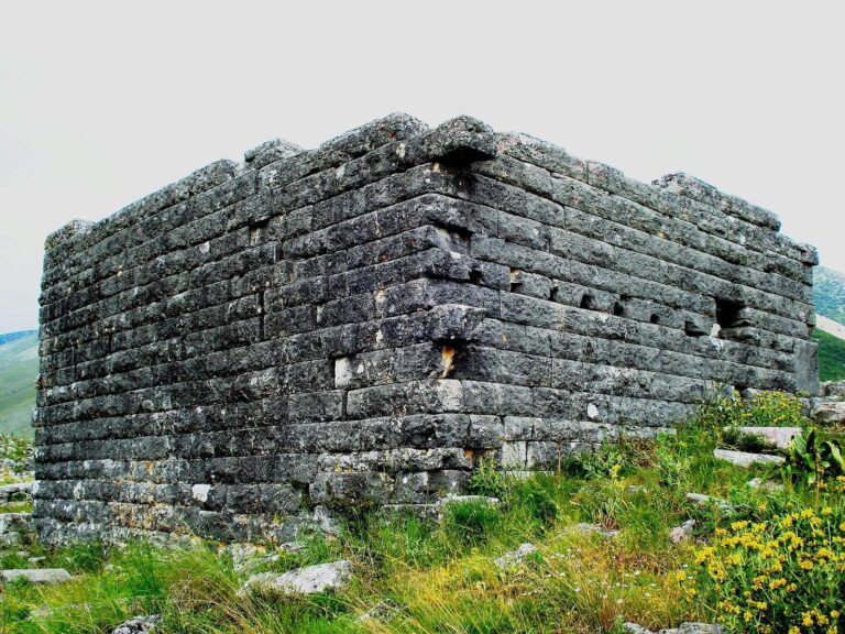
The outer wall at the foot of the hill had 22 rectangular defensive towers, which survive in good condition. A well-preserved section of the fourth-century BCE polygonal fortification has rectangular towers spaced about 50 metres apart. They measure approximately 3.5 by 7 metres and use pseudo-isodomic masonry, courses with regularly arranged faces but differing heights. Two gates survive on the eastern side, and another may have stood to the northwest.
Town interior and medieval enclosure
Upper and lower town
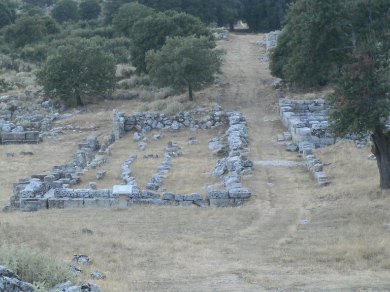
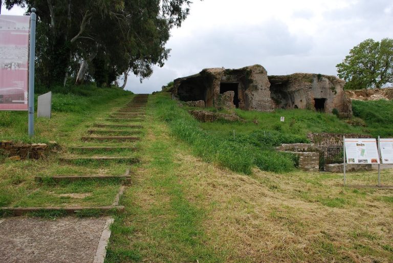
A separate wall divided the upper and lower parts of the city. Its surviving line is about 3.2 metres thick and made of polygonal masonry. Nearby are the foundations of two adjoining rectangular buildings, each about 16 by 32 metres, and a square building measuring approximately 16.5 metres on each side.
Acropolis and church
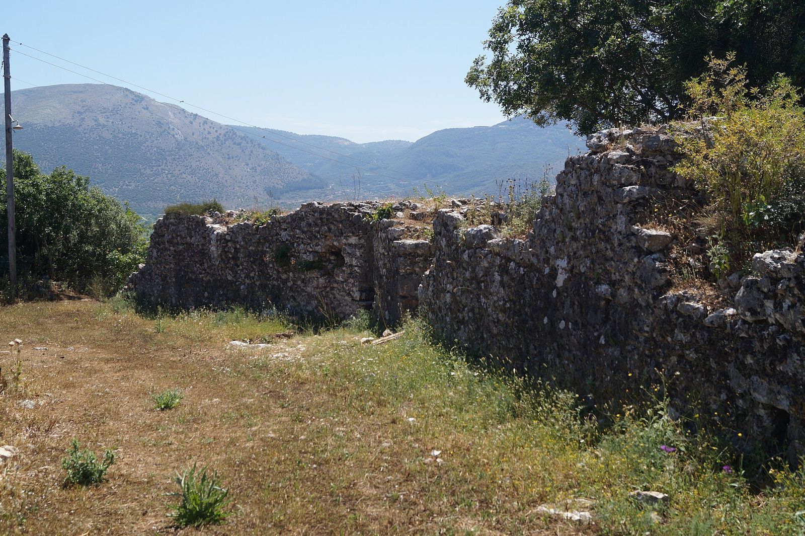
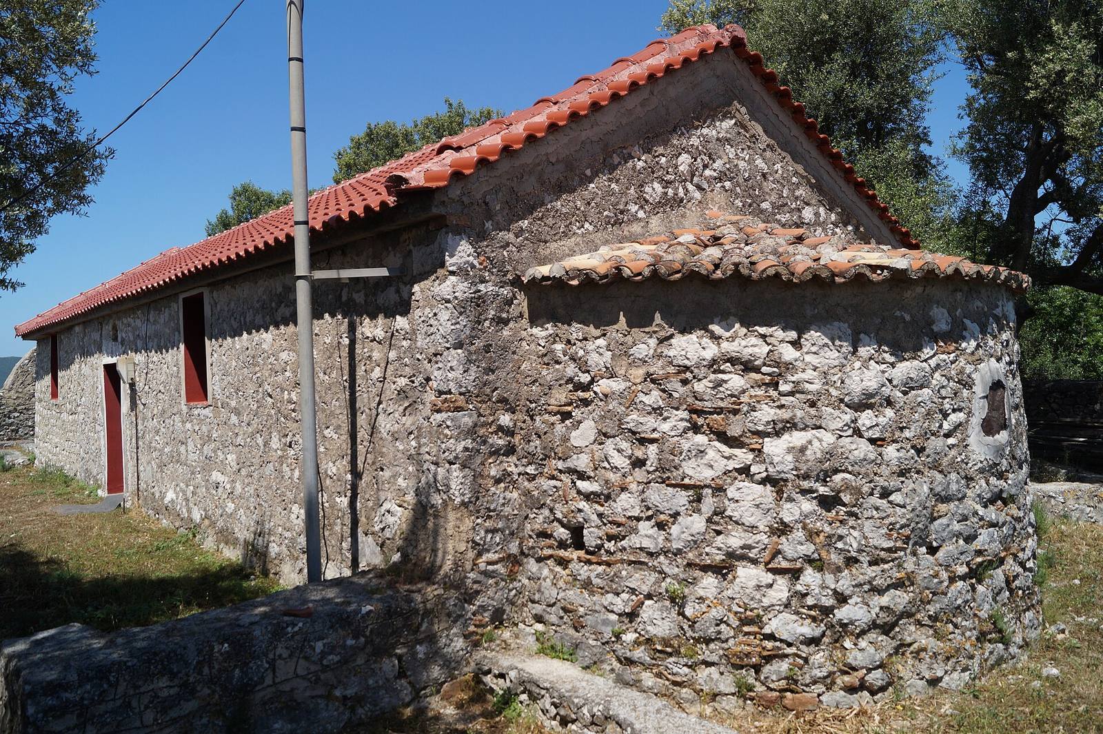
A medieval wall enclosed the former acropolis, the city’s fortified high point, using ancient foundations along its eastern and northern sides. The enclosure is about 415 metres long and covers roughly one hectare. At the hill’s highest point stands the Church of Agios Ioannis, dedicated to John the Baptist. Its frescoes date to 1819, 1923, and 1997. Foundations of another building lie east of the church.
River setting and archaeological finds
In antiquity, the Acheron was navigable at least as far as Pandosia. Metal mooring rings found beside its former banks indicate that boats could be tied there. The Acherusian Lake lay south of the city and received the river; by the twentieth century it had become a silted marsh and was drained in the 1950s.
The 1994 survey recovered more than 85,000 finds, including over 15,000 pottery sherds and over 70,000 fragments of tiles and bricks.