Schlüsselstein Castle Site: A Medieval Spur Castle in Germany
Site at a Glance
- Popularity
- Low
- Country
- Germany
- Primary era
- Medieval
- Eras represented
- Medieval
- Civilizations
- Holy Roman Empire
- Site type
- Military
- Remains
- Castle
On this page8 sections
History
Schlüsselstein Castle Site is a former noble residence on a rocky spur in Germany, probably built in the second half of the 12th century. This places it in the High Middle Ages, the central medieval centuries from about the 11th to the 13th. It may have been founded by the Franconian Lords of Schlüsselberg.
Possible foundation and abandonment
The proposed family connection draws on the name Schlüsselstein, the Lords of Schlüsselberg’s use of Schlüssel in the names of other foundations such as Schlüsselau Abbey, Schlüsselfeld, and Schlüsselburg at Markgröningen, and the castle’s strong resemblance to the family’s principal seat. Its two-part plan, with a main castle and outer ward, supports the proposed construction date. The castle may have been abandoned before 1347, perhaps in favor of Neideck Castle. That year, the Lords of Schlüsselberg were violently extinguished; under the 1349 Treaty of Iphofen, their possessions were divided among the victors.
Changing names and a land donation
The hill was first called Schlüsselstein and later became known as Kreuzberg after a cross at the spur’s summit. An official land-parcel register continued to use the older name. In 1487, Bishop Henry III Groß of Trockau, prince-bishop of Bamberg (a bishop who also held secular political authority), donated the bishopric’s forest lands around Slusselstein to the people of Ebermannstadt. The Bavarian State Office for Monument Preservation lists the site as a medieval castle site and a probable prehistoric hilltop settlement.
Remains
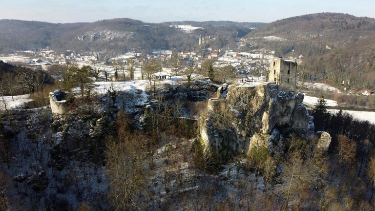
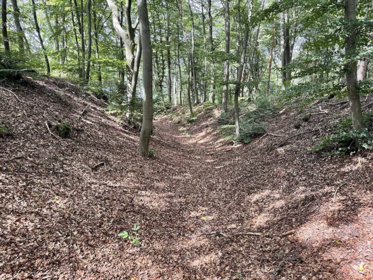
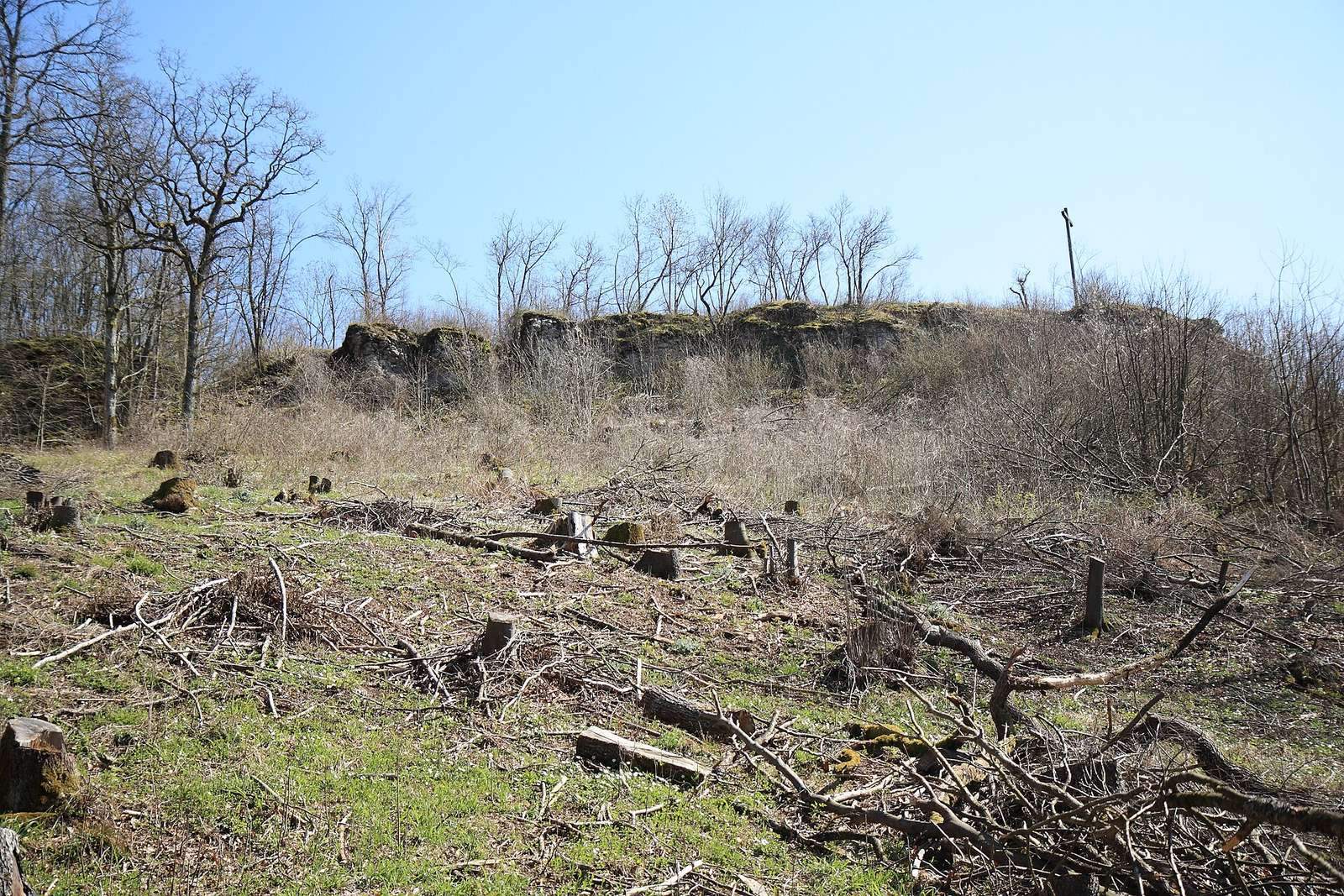
The fortification followed the natural outline of a rocky, southwest-facing spur. An outer enclosure and a triangular main castle were separated by ditches, with earthworks defending the approach from the east.
The spur and defensive ditches
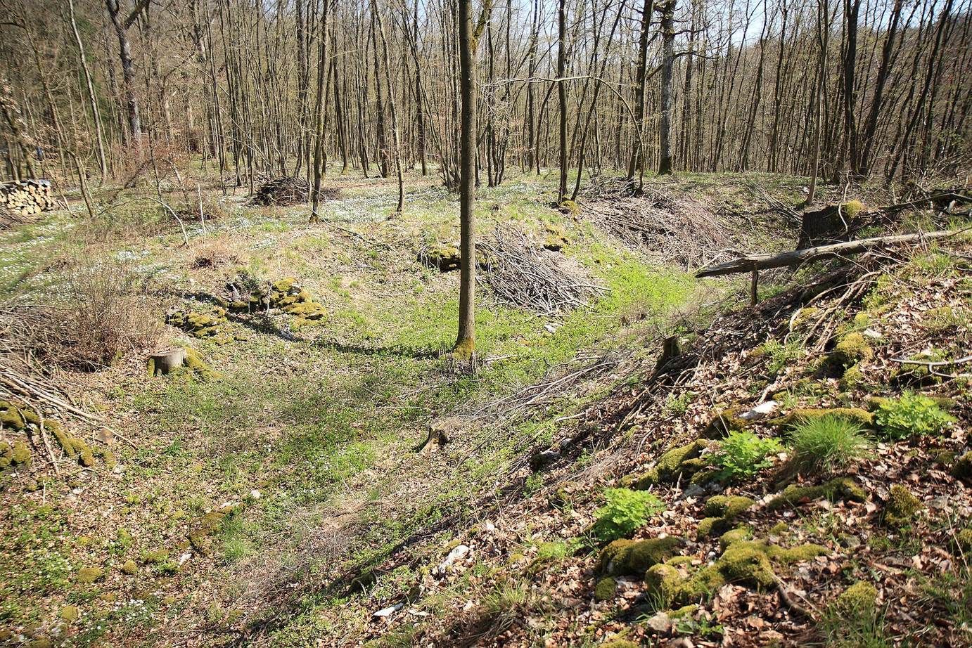
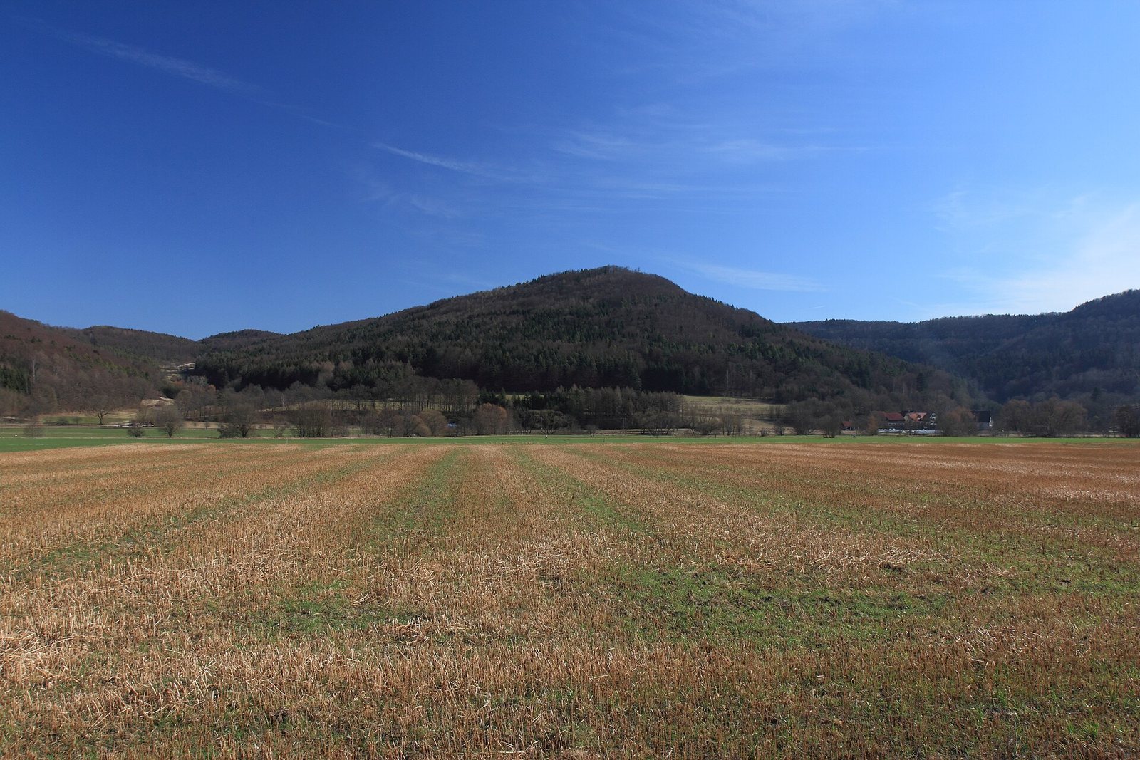
The spur projects southwest from a plateau to the east and extends about 150 metres. It stands roughly 200 metres above the Wiesent valley and 489.6 metres above sea level. Its southern slope descends steeply toward a small side valley, while its northern side falls toward the Wiesent. At the tip, rock drops vertically for several metres before continuing as a steep slope. Across the eastern approach, an outer dry defensive ditch about 35 metres long and 13.5 metres wide curves around the outer enclosure. Its outer and inner edges rise 1.9 to 2.3 metres and 2.7 to 3.8 metres above the ditch bottom, respectively. The ditch ends at the plateau edge, with its ends turned slightly inward. A second curved ditch, about 25 metres long, 7 metres wide, and 1.7 metres deep, separates the outer enclosure from the main castle. Dry-stone walling survives near the ditches, including a 1.5-metre section in the northern part of the outer ditch.
Outer enclosure
The outer enclosure is approximately rectangular, 48 metres long and 35 metres wide beside the outer ditch, narrowing to about 28 metres at the opposite end. Its rocky northern side drops vertically for several metres. A bank about 0.6 metres high alongside the ditch marks part of the former outer wall, while a second, shallow bank lies beside the inner ditch.
Main castle
The main castle forms an elongated triangle about 50 metres long, 20 metres wide at its base, and narrowing to 7 metres at the tip. Its northern side drops vertically for several metres along its length; on the south, a vertical rocky face occurs near the tip. The relatively level ground rises gently toward that end. Dense woodland covers the spur except around the cross at its tip, and bushes overgrow parts of the site.
Nearby fortified sites
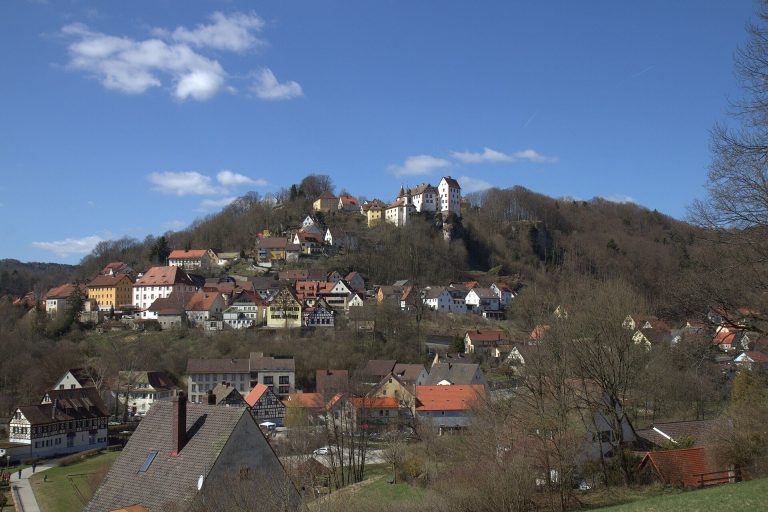
Other castle sites in the surrounding area include Dietrichstein to the south, former Wolkenstein to the southeast, a possible site near Rothenbühl to the north, and a castle site beside the cemetery at Niederfellendorf. Hummerstein above Gasseldorf held an early medieval barrier fortification that blocked part of the approach. Motte castles, fortifications centered on raised earth mounds, stood near Ebermannstadt’s sports field and at Rüssenbach. Sites within line of sight include Reifenberg Castle, the castle site above Ebermannstadt on the opposite side of the valley, Feuerstein Castle, and Greifenstein Castle.