Hrádníky: A Prehistoric Hillfort and Medieval Castle in Czechia
Site at a Glance
- Popularity
- Very Low
- Country
- Czechia
- Primary era
- Bronze Age
- Eras represented
- Bronze Age, Iron Age, Medieval
- Civilizations
- Holy Roman Empire, Kingdom of Bohemia
- Site type
- Military
- Remains
- Fort
On this page7 sections
History
Hrádníky is a prehistoric hillfort and later medieval castle site near Choceň in Czechia. Its hillfort includes a phase in the ninth century BCE, while the castle dates to around the turn of the thirteenth and fourteenth centuries. Much of the prehistoric enclosure remained open, perhaps serving as a place for gatherings, trade, festivals, or protecting livestock.
Prehistoric hillfort
The hillfort’s first fortification belonged to the Lusatian culture, a central European culture of the Late Bronze Age. A later phase was associated with the Silesian-Platěnice culture, a regional prehistoric group. The two phases followed closely, and the site’s total period of use is estimated at 50 to 60 years.
Hrádníky was also occupied in the eleventh century. The character of that later occupation is not established by the surviving evidence.
Medieval castle
King Wenceslaus II, who ruled Bohemia in the late thirteenth and early fourteenth centuries, has been proposed as the castle’s founder. He planned a castle at Choceň in the late thirteenth century, but the charter cannot be securely connected to a particular site near the town. A royal foundation is considered unlikely in view of the established network of royal castles and Hrádníky’s construction form.
The castle may instead have served as a stronghold for robbers or as an aristocratic residence connected with a trade route. It had ceased to exist before the middle of the fourteenth century. Building at the promontory’s end destroyed any prehistoric remains that might have survived there. The name Hrádníky derives from an isolated homestead below the promontory, itself called Hrádníky or Peliny.
Remains
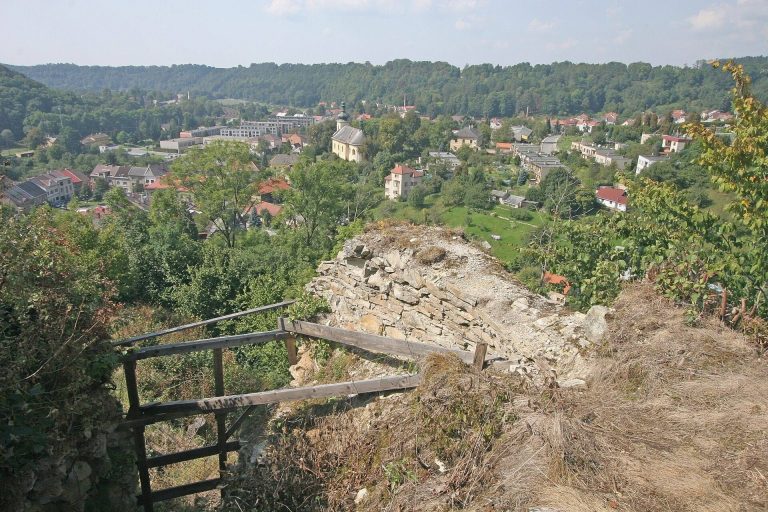
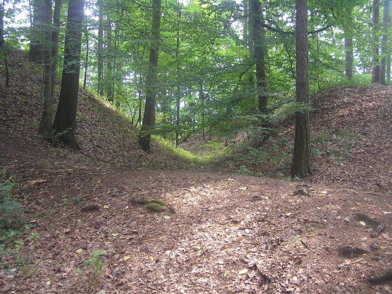
The surviving remains include earthworks around a large prehistoric enclosure and traces of a later castle at the end of the promontory. The hillfort’s defensive banks and the castle’s rock-cut ditch reflect the different arrangements of the two sites.
Prehistoric earthworks
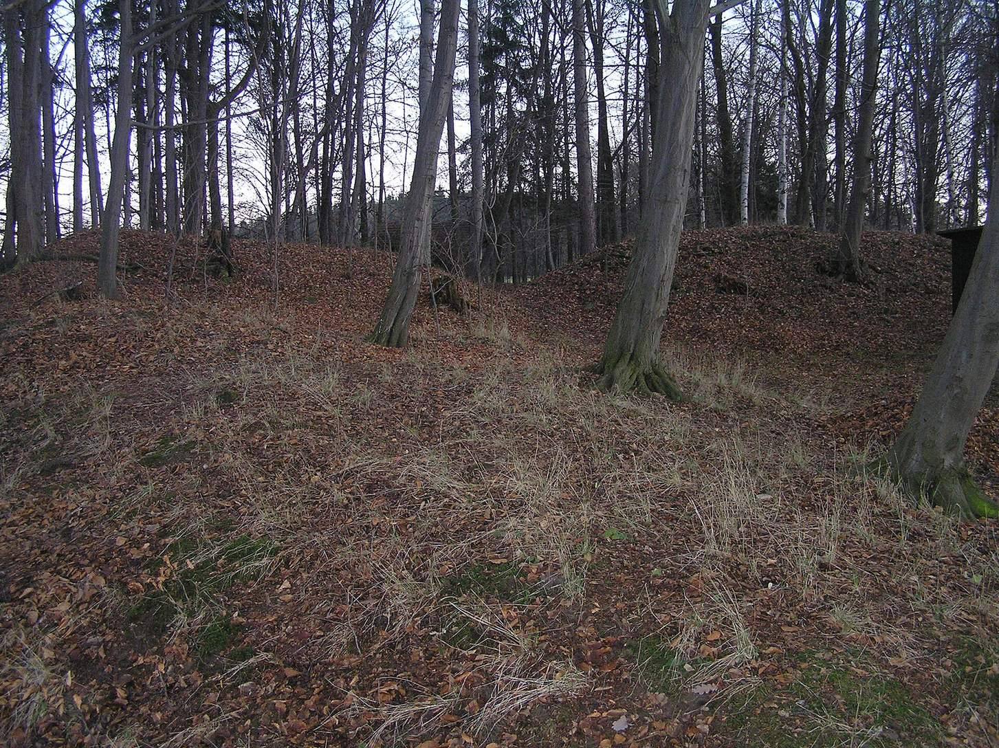
The hillfort occupied about 8.5 hectares at an elevation of 330 to 340 metres. Its enclosed area measured approximately 600 by 230 metres. Steep slopes protected the south and west, while the northern slope was gentler. At the enclosure’s narrow neck, a ditch and rampart, or raised defensive bank, extend for about 87 metres; the bank survives at heights of 2 to 7 metres. In the later phase, defenses also ran along the sides. Their traces appear as a slight change in the northern terrain, and a section of side rampart survives in the northeast, reaching 5 metres in height.
Castle position and defenses
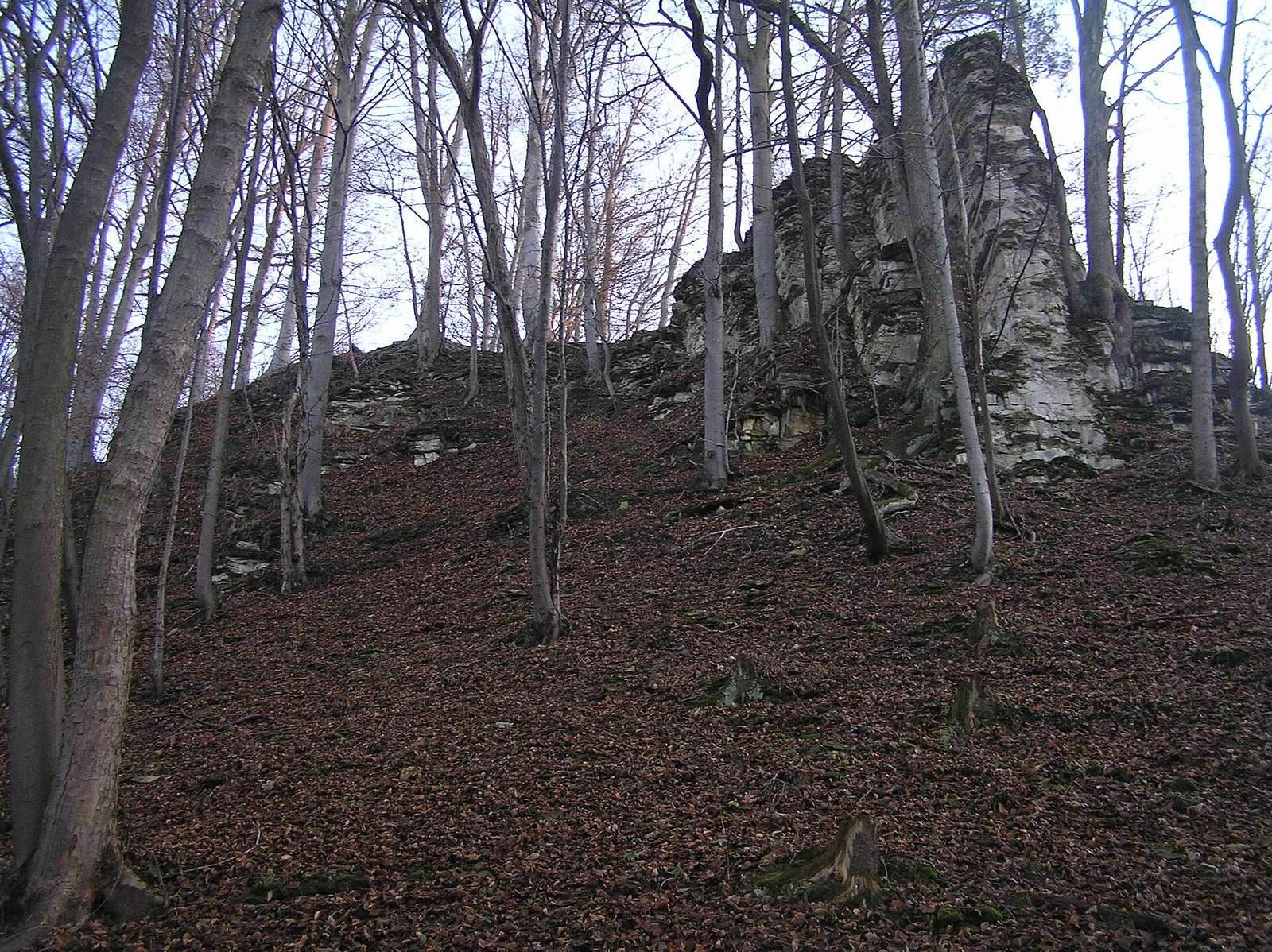
The castle stood at the promontory’s tip, about 320 metres above sea level and roughly 25 metres above the Tichá Orlice. Marlstone rock formations define the western side. A ditch cut into the rock, 5 metres deep and 20 metres wide, separated the castle from the rest of the promontory. Above it, a surviving bank marks the line of a stone wall. A corner of that wall was uncovered in the southern section in 1964.
Castle core and finds
A palace probably stood within the castle core, which was destroyed when a recreational cottage was built there. A hollow cut into the rock on the southern side may have been a well or cistern. Large quantities of daub, a clay-based building material, along the southern edge indicate that buildings there were mainly timber-built. Finds from the site include silver ingots, fragments of weighing scales, and part of a reliquary cross, a cross made to contain a relic.