Moel y Gaer, Llantysilio: An Iron Age Hillfort in Wales
Site at a Glance
- Popularity
- Low
- Country
- United Kingdom
- Primary era
- Iron Age
- Eras represented
- Iron Age
- Civilizations
- Unclassified
- Site type
- Military
- Remains
- Fort
On this page6 sections
History
Iron Age origins
Moel y Gaer, Llantysilio is an Iron Age hillfort on the summit of Llantysilio Mountain in Denbighshire, Wales, United Kingdom. The Iron Age was a prehistoric period when iron tools and weapons came into widespread use. A hillfort is an enclosed site on high ground, often positioned to make use of its elevation for defense. Moel y Gaer’s exact foundation date is unknown.
Surveys and protection
Investigations have included a survey of the ground and visible features from December 2006 to January 2007, a geophysical survey in 2009, and excavation in 2010. The fort is a scheduled monument, meaning it is protected by law. Cadw, the Welsh Government’s historic environment service, lists it under the name Moel y Gaer, Cefn. It is also protected and managed through the Heather and Hillforts Project, which covers six hillforts.
Remains
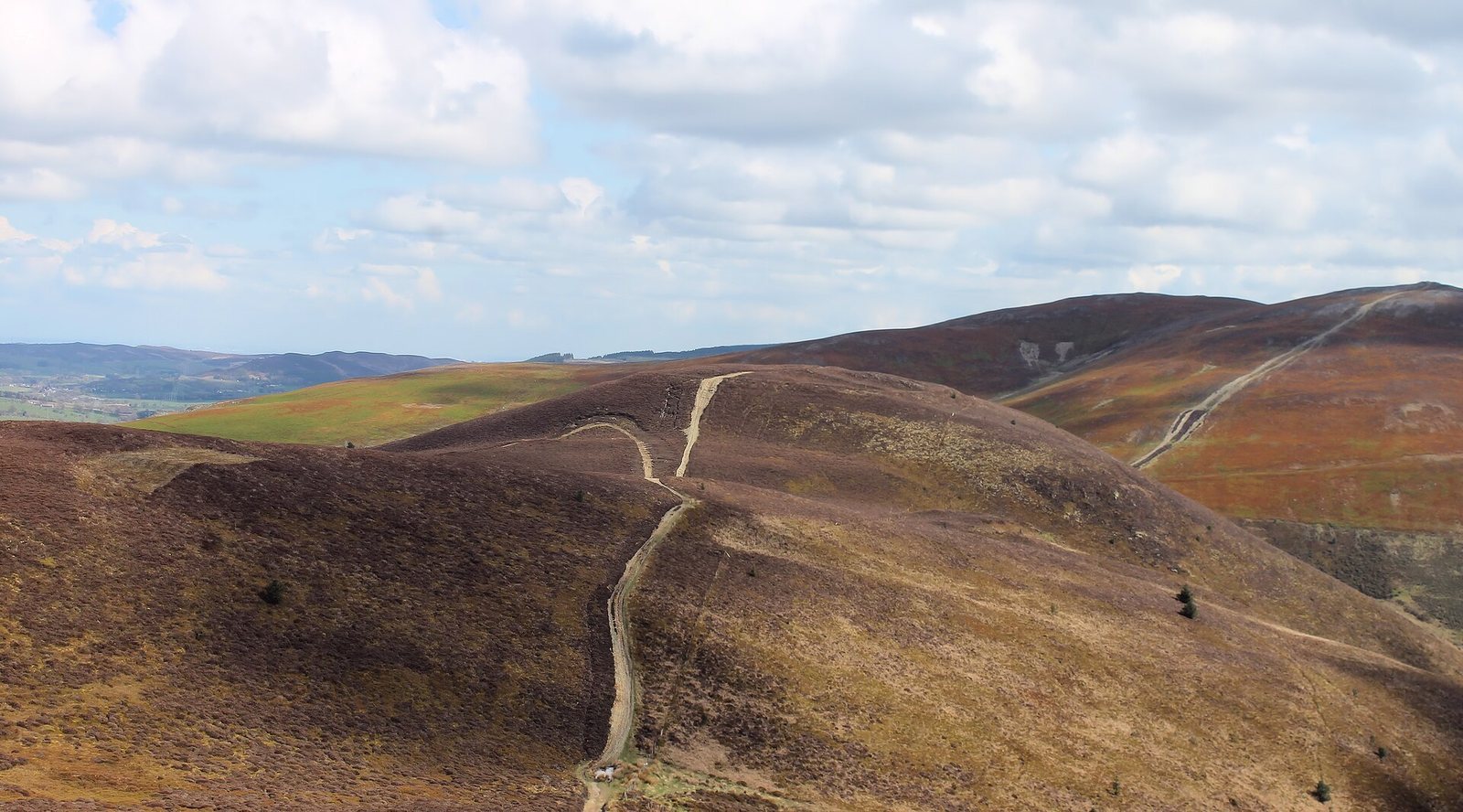
The fort occupies a summit about 504 metres above sea level, between Moel Morfydd and Moel Gamelin. Its roughly oval enclosure is formed by a stone defensive bank and a discontinuous ditch.
Enclosure and entrance
The enclosure measures about 140 metres from east to west by 100 metres and covers roughly one hectare, with about 0.8 hectares inside the bank. The bank rises up to 3.1 metres on its outer side and 0.6 metres on its inner side. On the north, the ditch is about 10 metres wide. The single entrance lies on the eastern side; its passage extends about 20 metres and bends inward through the bank.
Interior settlement and preservation
Around eight hut sites have been noted inside the fort, although heather and bilberry make them difficult to see. A survey recorded 11 roundhouse platforms, concentrated in the eastern part of the enclosure. A roundhouse is a circular dwelling characteristic of prehistoric Britain. Geophysical survey also suggested further roundhouses, internal tracks, and two possible rectangular structures. Excavation identified two roundhouses, each about 7 metres in diameter and belonging to a different period of occupation. Fragile archaeological deposits survive within the enclosure. A track crosses the site from east to west and is used by pedestrians and off-road vehicles; walkers and cyclists have also contributed to erosion.