Swinside: A Late Neolithic Stone Circle
Site at a Glance
- Popularity
- Medium
- Country
- United Kingdom
- Primary era
- Stone Age
- Eras represented
- Stone Age
- Civilizations
- Unclassified
- Site type
- Religious
- Remains
- Sanctuary
On this page8 sections
History
Neolithic construction and ritual setting
Swinside is a Late Neolithic stone circle near Millom in the United Kingdom, generally dated to about 3800–3200 BC. The Neolithic was the later Stone Age, associated with the spread of farming and the building of monuments such as stone circles. Swinside was built during a period of especially active stone-circle construction in the Lake District.
The circle’s purpose remains debated, but it is usually understood as a place for ritual or ceremony. Its construction also belongs to a broader shift from large chambered tombs, burial monuments with an internal chamber, toward open-air circles of wood and stone. This change has been interpreted as reflecting changing religious beliefs.
Swinside forms part of a proposed prehistoric ritual landscape on the Millom Peninsula, known as the Millom Lines. Since the 1980s, at least nine coastal henge sites have been identified from crop marks, vegetation patterns caused by buried features. A henge is a circular prehistoric earthwork enclosure. Inner circles of postholes, holes left by posts, may once have held rings of timber or stone. Together with Swinside, the sites form an arc about 20 km around the peninsula, described as among the largest ritual landscapes in the British Isles.
Names and local traditions
Swinside is also known as Sunkenkirk and Swineshead. Local legend says the Devil pulled down at night a church that people were building by day, creating the stone circle; the story is associated with the name Sunkenkirk. Swineshead derives from the older form Swynesheud, meaning “pig pasture.” A belief recorded in the 1930s held that the stones could not all be counted, a motif also found in folklore about other Cumbrian circles.
Investigation and protection
Charles William Dymond and William Gershom Collingwood measured the circle in 1872 and may also have excavated it. They published their findings that year in the Journal of the British Archaeological Association. In 1901, the Cumberland and Westmorland Antiquarian and Archaeological Society sponsored another excavation, directed by Dymond and Collingwood. The circle was placed under protection in 1933.
Remains
The site consists of a stone circle with a defined entrance and an investigated interior. Its stones were gathered from nearby fells, and excavation revealed evidence of how some were set in the ground.
The setting and stone ring
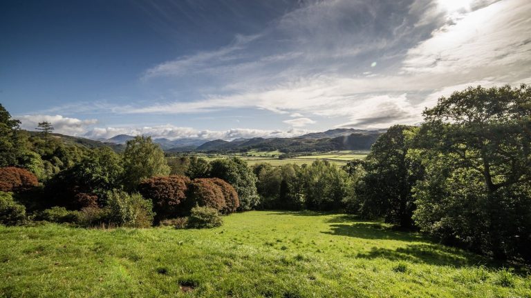
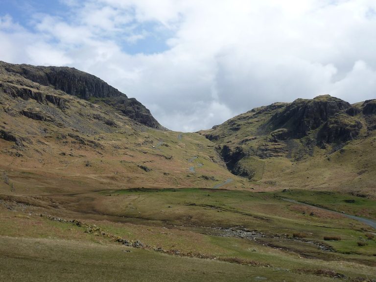
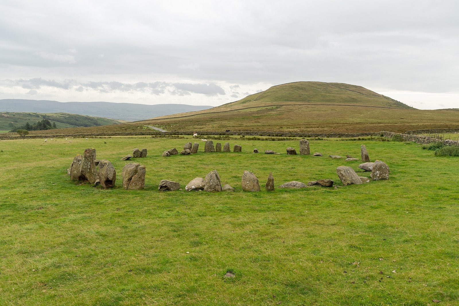
The circle stands on a boggy meadow at about 204 m above sea level in the southwestern Lake District, beside Swinside Fell, part of Black Combe. Raven Crag and the Dunnerdale Fells are among the surrounding hills, and Black Beck flows nearby into Duddon Sands. The nearly circular ring measures about 28–29 m across. Its stones are porphyritic slate, rock containing larger crystals within finer-grained material, locally known by the 20th century as “grey cobbles.” Of the 55 stones now present, 28 are upright. The original ring probably held around 60; the archaeologist Aubrey Burl estimated 64. Stones average about 1.5 m apart, and the largest, on the north side, is 2.3 m tall.
Entrance and stone arrangement
A 2.1 m-wide opening on the southeastern side is marked by two large entrance stones set beyond the circle’s circumference. Comparable openings occur at Long Meg and Her Daughters. Other features have parallels at the Rollright Stones and in Stonehenge’s bluestone circle. A comparable combination of design features appears at Ballynoe in Northern Ireland; the two circles lie near the same latitude, on opposite sides of the Irish Sea. Swinside’s stones are thought to have stood along the inner side of a bank before falling inward.
Excavated interior
Two cross-trenches, each 45 cm wide, extended across just over one-thirteenth of the interior. Below the turf and a shallow soil layer, the excavators encountered marl, sediment containing clay and calcium carbonate, between 15 and 75 cm thick. The stones examined stood in shallow pits in the marl and were held in place with smaller rocks. Finds included charcoal and decayed bone or bone fragments. Modern coins came from the turf or grass layer.