Roman Villa of Frielas: A Rural Estate in Portugal
Site at a Glance
- Popularity
- Low
- Country
- Portugal
- Primary era
- Classical
- Eras represented
- Classical, Medieval
- Civilizations
- Roman, Umayyad
- Site type
- Domestic
- Remains
- Villa
On this page10 sections
History
The Roman villa of Frielas is a Roman rural estate in Portugal, established sometime in the third or fourth century. It belonged to the territory of Olisipo, Roman Lisbon, whose countryside included both large estates and smaller farms. The villa remained in use from the fourth century until about the first half of the seventh.
Fertile soils and three watercourses feeding the Trancão River shaped the area’s agricultural character. The navigable river supplied water and supported fishing and salt extraction. A Roman road between Olisipo and Conímbriga, a major Roman settlement near present-day Coimbra, passed about two kilometres away at the Bridge of Frielas.
Medieval occupation and destruction
Occupation continued into the medieval period, including under Islamic rule. Ninth- and tenth-century ceramics, together with changes to the compounds, indicate that Roman buildings remained in use as spaces were reorganized and silos built. Occupation extended as late as 1147, during the Reconquista, the Christian reconquest of territories under Muslim rule in the Iberian Peninsula. The division of the estate may have helped lead to the creation of Frielas as a settlement during the late Islamic period, possibly in the twelfth century.
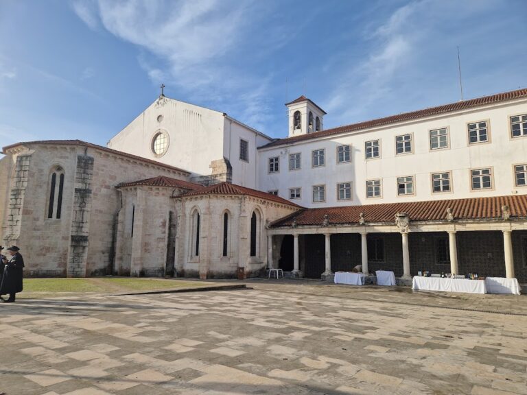
After the Reconquista, Frielas became a regional centre. In 1383, Castilian troops, forces of the medieval Iberian kingdom of Castile, destroyed the villa, including its tower, which guarded the road to Lisbon. The residential building was not rebuilt. An attempt by the Portuguese nobleman Count of Ribeira Grande to restore it in the seventeenth century did not succeed; the Chapel of Santa Catarina was the only structure to remain.
Excavation and protection
Systematic excavations began in 1997 and are ongoing. Artefacts recovered from the site were collected and stored at the Municipal Museum of Loures. The villa’s structures have been classified as a Site of Public Interest since 2012.
Remains
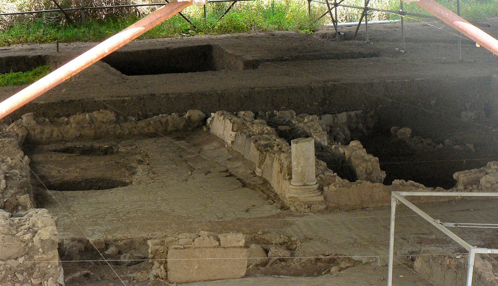
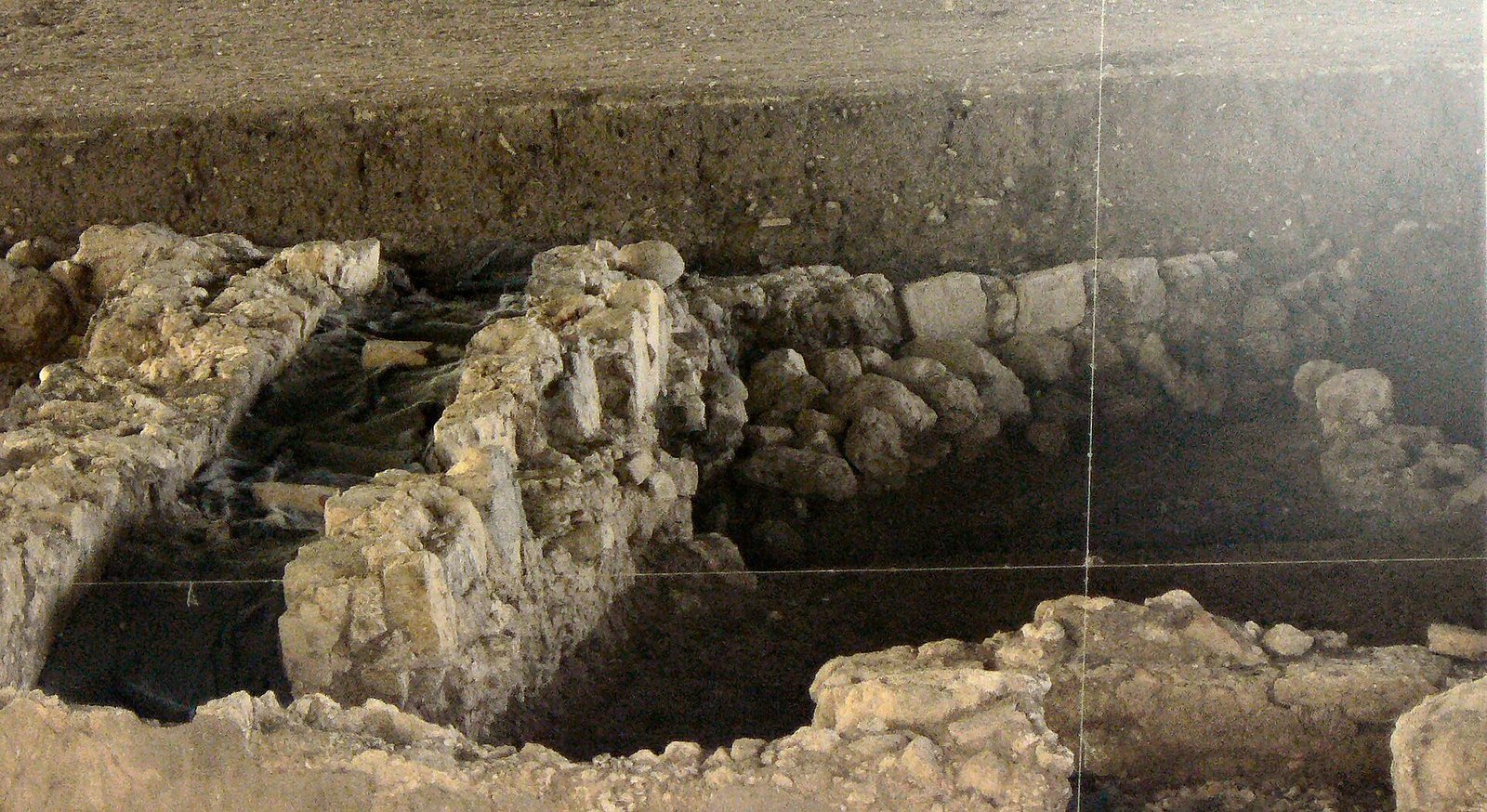
The remains lie in the Loures floodplain, on the right bank of the Póvoa stream, set back from the watercourses to avoid flooding from the Trancão River near Sacavém. Excavations cover about 3,500 square metres. The exposed plan includes residential, garden, and water-management features. Walls survive at varying heights and in different orientations, making the layout difficult to interpret.
Residential and garden features
Peristyle and portico
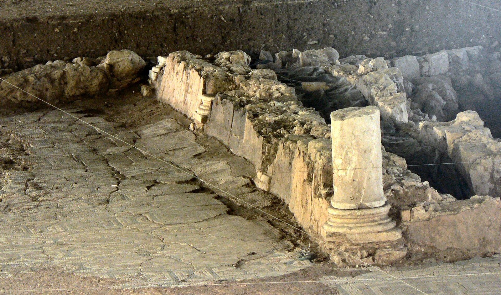
The excavated residential plan includes a peristyle, a colonnaded courtyard, and its portico. Other peristyles have also been identified in varying states of destruction. Brick-tile paving forms part of the exposed remains.
Garden and water features
The plan includes a garden area and an irrigation tank. A possible reflecting pool has also been identified, while one interpreted room may have served as a dining room.
Decoration and archaeological finds
Mosaic fragments
Mosaic fragments found in 1997 near the Chapel of Santa Catarina date to the third century. They are thought to have come from the principal pavement of a main room in the residence, although the original use of the place where they were found is uncertain.
Decorative materials and burial stone
The villa’s early opulence is indicated by African terra sigillata, a fine Roman pottery with a smooth, often glossy surface, as well as mosaic pavements, architectural elements, and wall coverings. The owner appears to have followed contemporary decorative models while exercising some economic restraint. A burial stone from the Islamic period was found a short distance from the excavated area in the nineteenth century.