Burgstall Gutenfels: Remains of a High-Medieval Hilltop Castle
Site at a Glance
- Rating
- 3.8
- Popularity
- Very Low
- Country
- Germany
- Primary era
- Medieval
- Eras represented
- Medieval, Early Modern, Modern
- Civilizations
- Holy Roman Empire
- Site type
- Military
- Remains
- Castle
On this page6 sections
History
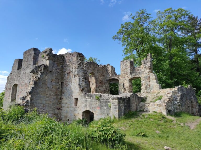
Burgstall Gutenfels is the remains of a hilltop castle from the High Middle Ages, roughly the eleventh through thirteenth centuries, near Wüstenwelsberg, Germany. Its proposed identification with a castle sold to Banz Abbey, a Benedictine monastery, in 1225 gives the site its principal historical connection, although the identification and location remain uncertain.
The Medieval Record
In 1225, Hermann von Arnstein sold the castle of Gutenfels, along with other properties, to Banz Abbey. The transaction describes the land as a place where a castle had stood, suggesting that the building was already in ruins. In 1996, amateur historian Wolfram Berninger identified Burgstall Gutenfels as this site. Medieval archaeologist Joachim Zeune endorsed the identification in 2003.
Quarrying and Disputed Identification
Stone quarrying during the eighteenth and nineteenth centuries left substantial damage, making the castle’s original buildings difficult to reconstruct. After the site was rediscovered by former district heritage officer H. Maurer, it was associated with either the von Rotenhan or Lichtenstein family. Its location is still debated: a rock outcrop near Buch is sometimes regarded as a separate castle site, while some historians place Gutenfels at Gottesacker near Fierst.
Remains
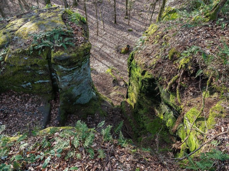
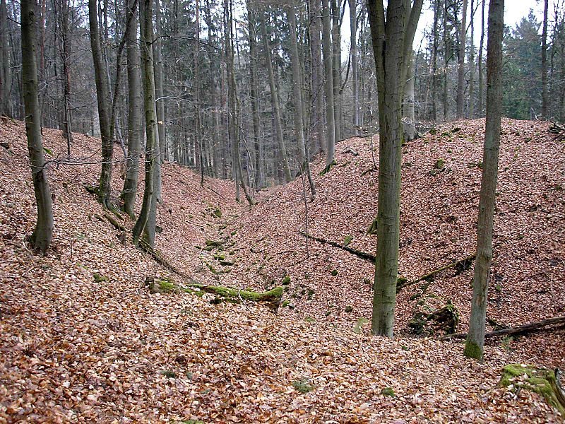
The castle occupied a rugged plateau about 50 by 50 metres, on a freestanding rock outcrop roughly 360 metres above sea level. The site lies on a projecting ridge between Buch and Wüstenwelsberg. Higher ground overlooks it, and a neck ditch, a defensive trench cut across a ridge or spur, separates it from the mountain. Earthworks and traces of stone construction are the principal surviving features.
Earthworks and Castle Area
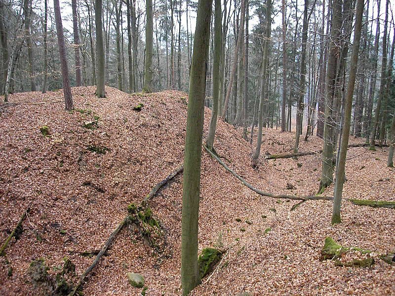
A semicircular ditch on the west side measures about 120 metres long and 20 metres wide, reaching up to 8 metres deep. A low rubble bank follows the course of the ring wall, the defensive wall around the main castle area, alongside the ditch. On the south side, the former entrance was widened into a transport ramp during quarrying. The location of a subsidiary enclosure outside the main castle area remains uncertain.
Stone Construction
Surviving hand-dressed sandstone ashlar, carefully shaped masonry blocks, averaging about 30 by 40 centimetres provide evidence for stone-built interior structures. A characteristic wolf hole, a socket for a stone-lifting clamp, on the upper face of a block suggests a date before 1200. Later masonry blocks were usually lifted with tongs.