Obukumayama Kōgoishi: An Asuka-Period Fortress in Japan
Site at a Glance
- Popularity
- Very Low
- Country
- Japan
- Primary era
- Medieval
- Eras represented
- Medieval
- Civilizations
- Yamato
- Site type
- Military
- Remains
- Fort
On this page7 sections
History
The seventh-century defenses
Obukumayama Kōgoishi is a seventh-century fortress in Japan, built by the Yamato court, the central government of early Japan, during the Asuka period, an era spanning the late sixth to early eighth centuries. Its construction formed part of a defensive response to the defeat of Yamato and Baekje forces at the Battle of Hakusukinoe in 663. Their opponents were Silla, a kingdom on the Korean Peninsula, and Tang, a Chinese dynasty. Fearing an attack by Tang, Silla, or both, the Yamato court developed a broad network of fortifications during the rest of the seventh century. Baekje, another Korean kingdom, often provided engineers, military leaders, and craftspeople to support the work.
Fortification building continued until 701. The Japanese had learned that Silla and Tang were no longer on friendly terms, but the Yamato court had been unaware of the Silla–Tang War, a conflict between the two powers from 670 to 676.
The name and later history
The name kōgoishi, meaning “stones of divine protection,” was coined by the Japanese archaeologist Tsuboi Shōgorō during the Meiji period. He proposed that such structures might protect sacred places either spiritually or through practical defenses. Later interpretations have favored a military purpose, with a more limited connection to religious practice. The fortress’s intended function remains partly uncertain.
The site was discovered in 1941 and became a National Historic Site of Japan in 1951, a designation protecting places recognized for their historical importance. Excavations followed in 1964.
Remains
Fortress layout
The defenses extend around Mount Obikuma, which rises 177.3 metres above sea level. The site lies south of the east–west Sefuri mountain range and north of the Saga Plain. Its fortified line crosses three valleys for approximately 2,400 metres.
Stone foundations and earthwork
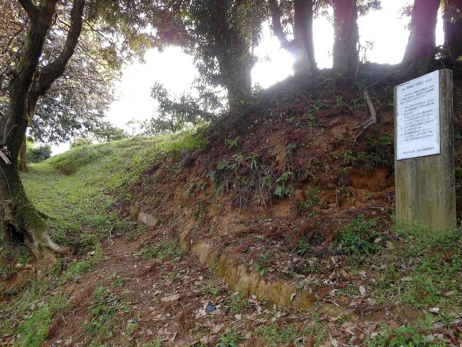
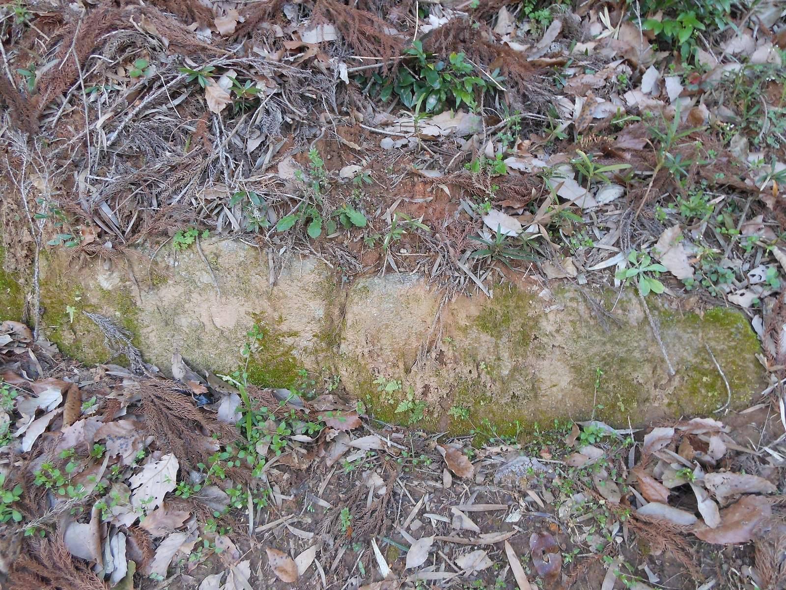
Rows of cut granite stones, about 60 centimetres high, formed the base of an earthwork. Tamped earth was piled behind them to create a bank 2 to 3 metres high. Wooden fences stood at intervals of roughly 3 metres on the flat ground in front of the stone line. The fortress now survives in ruins, though most of the stone rows’ course can still be traced.
Gate areas
A level area in the northern part of the site is thought to mark a gate. In the southwestern valley, another feature is believed to have served as a water gate.