Laugerie-Haute: An Upper Paleolithic Rock Shelter in France
Site at a Glance
- Country
- France
- Primary era
- Early Modern
- Eras represented
- Early Modern
- Civilizations
- French
- Site type
- Domestic
On this page14 sections
History
Paleolithic occupations and climate
Laugerie-Haute is a prehistoric rock shelter and archaeological site at Les Eyzies in France. Its deposits preserve human occupations from roughly 22,000 to 13,000 years before 1950, the reference point used by the dating convention BP (“before present”). The principal sequence runs from the Middle Perigordian to the Middle Magdalenian, with brief later Magdalenian and Azilian occupations in its uppermost layers. The sequence includes the Gravettian, also called the Upper Perigordian in this context, as well as the Aurignacian, Solutrean, Badegoulian, and Magdalenian. These names identify phases of the Upper Paleolithic, while Perigordian is a regional term that overlaps with the Gravettian here. Laugerie-Haute has been important to research on how these archaeological phases are classified.
The deposits also register climatic shifts over roughly 10,000 years. They began forming during the late Würm, a glacial period, and include the warmer, wetter Laugerie interval. Warming at the start of the Magdalenian is associated with the Lascaux interstadial, a relatively warm phase within a glacial period. Cooler conditions followed during the Older Dryas, with warmer Pre-Bølling and Bølling intervals interrupting that trend. Correlations between the lower layers and those at Abri Pataud, together with the sequence’s relationship to layers at La Ferrassie and Abri Pataud, help place the site within the Upper Paleolithic chronology of the Dordogne.
Excavation and interpretation
Édouard Lartet and Henry Christy began investigating the shelter in 1863 and recovered Solutrean laurel-leaf points. E. Massenat and Paul Girot made further test excavations in 1892, and Louis Capitan followed in 1895. In 1901, Capitan, Henri Breuil, and Denis Peyrony uncovered a Lower Magdalenian layer containing raclette points, small scraper-like tools. Otto Hauser began excavations in 1907; some of his finds were sold to the prehistoric collection at the University of Erlangen. Research continued in 1911.
In 1914, Hauser identified an area in the western part of the shelter that he called Laugerie-Intermédiaire and treated as a separate settlement between Laugerie-Haute and Laugerie-Basse. He also interpreted an enclosed area as a “sacrificial site,” proposing that it was a cult place associated with a prehistoric priest. That explanation is not considered sufficiently critical: the distinction he drew between ritual deposits and food remains appears arbitrary.
At Denis Peyrony’s initiative, Laugerie-Haute entered state ownership in 1921, apart from the area near the Fournier house, which remained private. Denis Peyrony and his son Elie excavated from 1921 to 1925 and produced the first detailed publication on the site. Additional investigations took place from 1936 to 1939. François Bordes excavated the eastern section from 1955 to 1958, then worked with Philip Smith in the western section from 1959 to 1960. Their work revised the layer sequence first established by Denis Peyrony. Geneviève Guichard directed further excavations from 1967 to 1988.
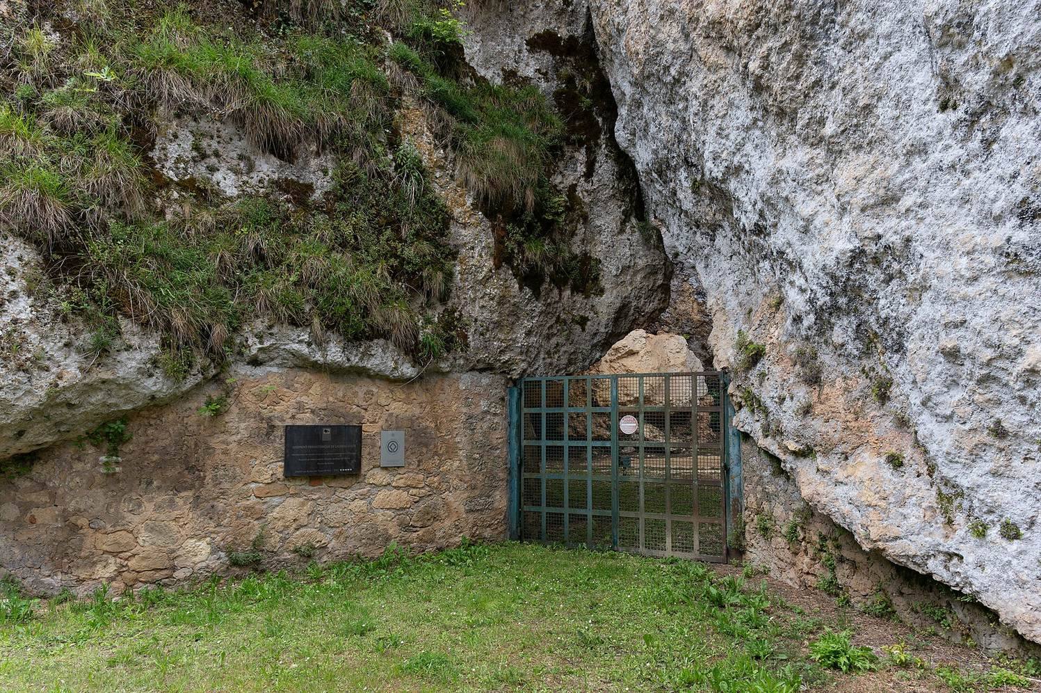
Laugerie-Haute is classified as a French historic monument and has belonged to the UNESCO World Heritage property “Prehistoric Sites and Decorated Caves of the Vézère Valley” since 1979, as one of its fifteen sites.
Remains
Shelter and settlement area
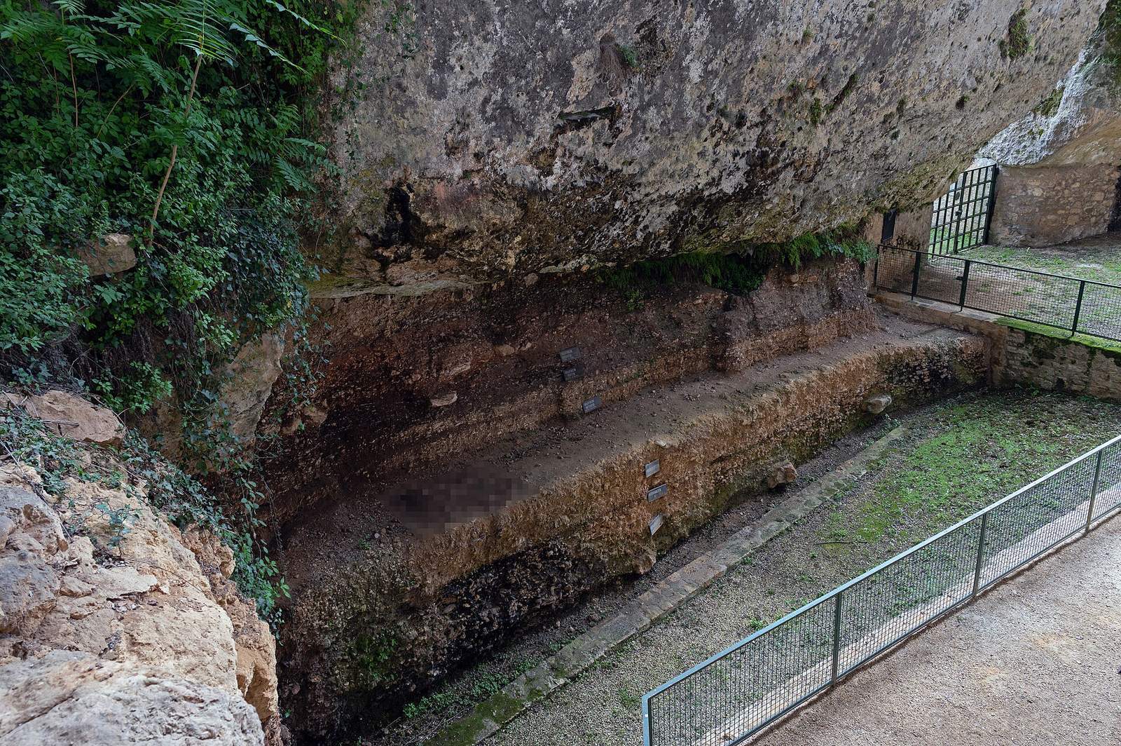
Rock overhang and sections
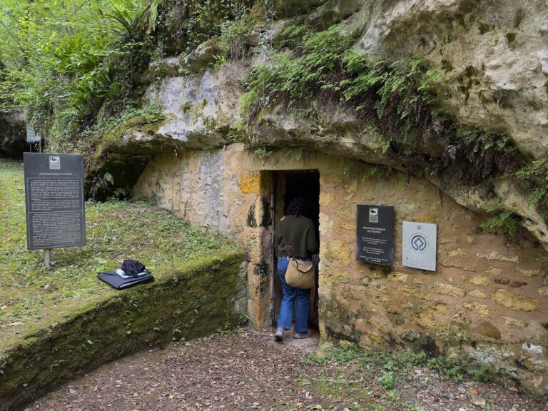
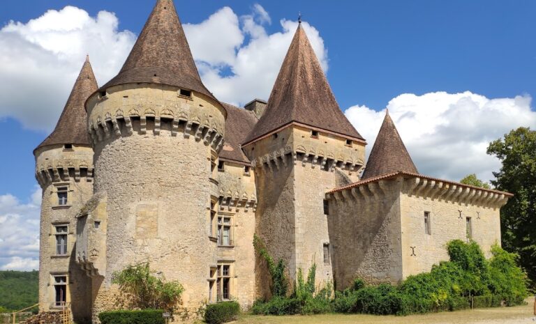
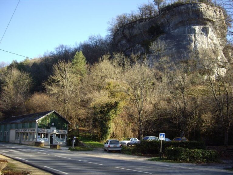
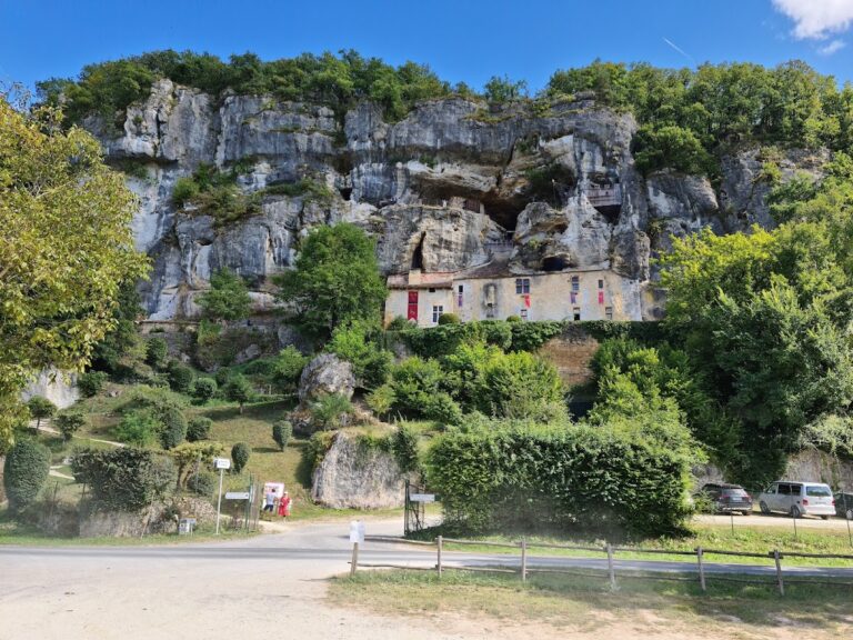
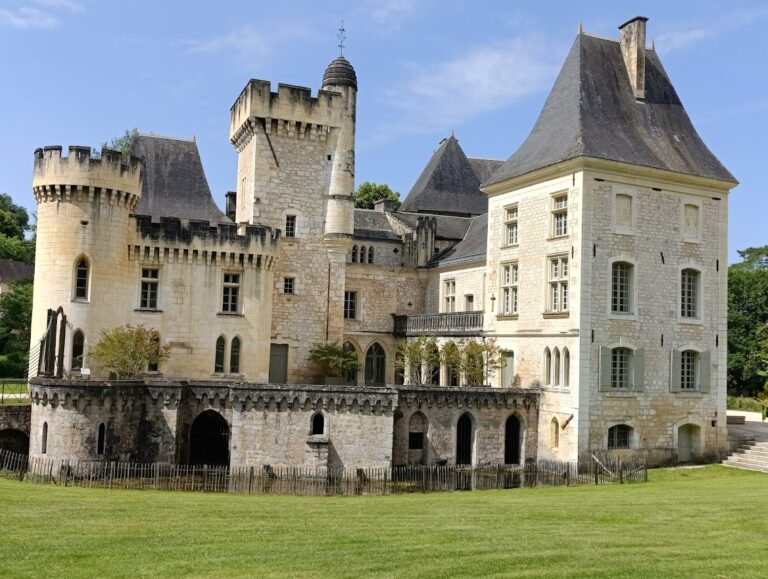
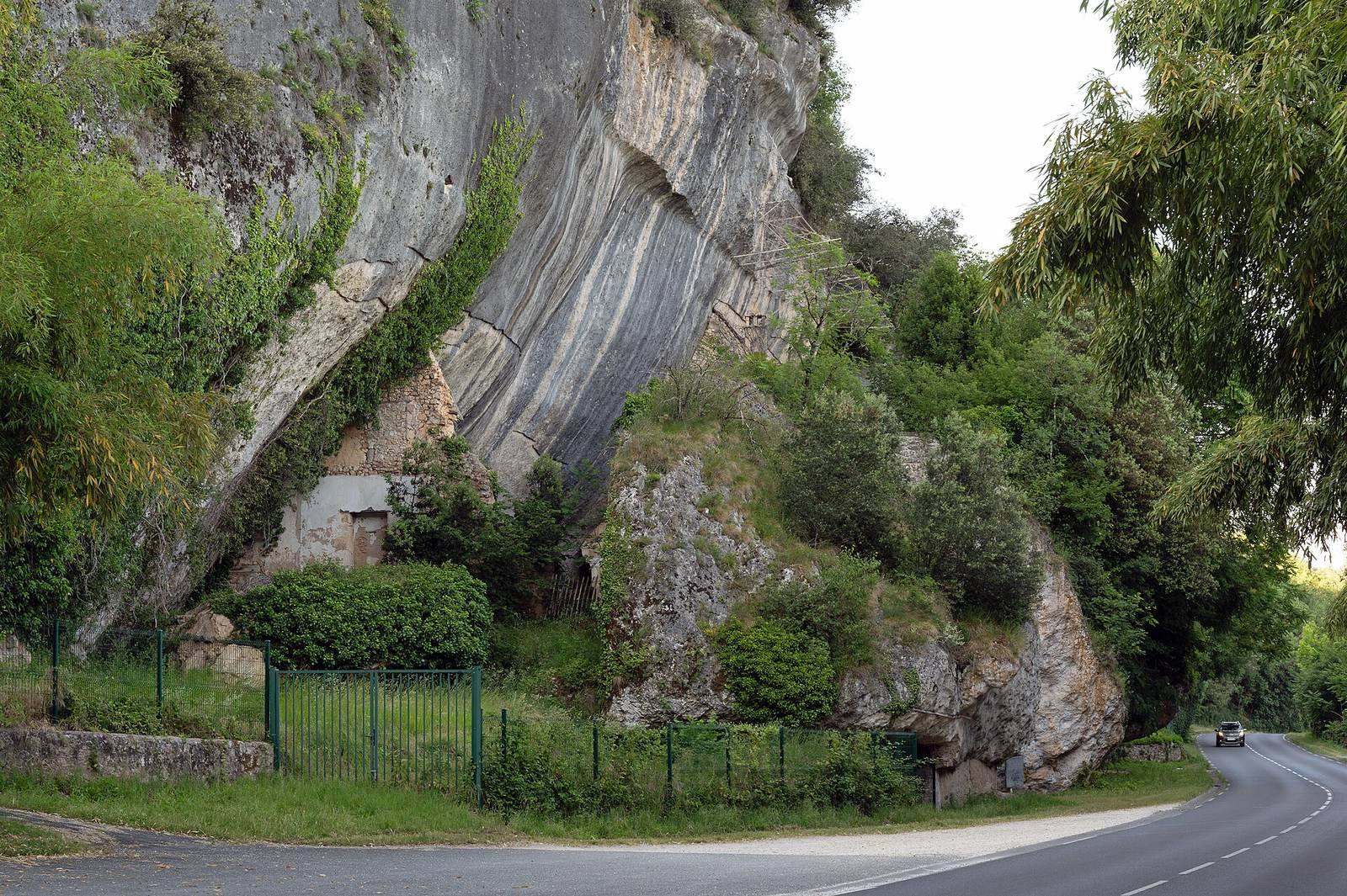
The shelter opens toward the southeast on the right bank of the Vézère. Its steep cliff is made of flat-lying limestone. The overhang extends for about 180 metres and is roughly 10 metres deep; the archaeological site stretches for nearly 200 metres. Before part of the overhang collapsed, its depth was estimated at about 35 metres. The investigated area is approximately 132 metres long. Rockfalls near the end of Magdalenian III, around 14,000 BC, partly covered the settlement area. Fallen blocks mark the division between the eastern and western sections, Laugerie-Haute East and Laugerie-Haute West. A seventeenth-century house known as Chapoulie Castle uses the cliff as its rear wall and marks the division; ruins of the Fournier house stand at the cliff’s southwestern end.
Settlement beyond the overhang
Occupation extended beyond the shelter, beneath the present road and toward the river. Stone artifacts found along the Vézère’s banks indicate that the inhabited area covered more than 1,000 square metres between the shelter and the river. The road from Périgueux runs between the cliff and the river.
Layers and cultural sequence
Eastern section
The eastern section contains 42 recognized layers. From upper to lower, its sequence is Magdalenian III in layers 3–1, Magdalenian II in 8–4, Magdalenian I in 17–9, Magdalenian 0 in 20–18, Final Solutrean in 23–21, Upper Solutrean in 28–25, Middle Solutrean in 30–29, Lower Solutrean in 32–31, Aurignacian V in 35–33, Proto-Magdalenian in 37–36, and Perigordian VI (Gravettian) in 42–38. Older collections also include material assigned to Upper Magdalenian V and VI.
Western section
The western section has 12 layers covering the Solutrean. From upper to lower, the Final Solutrean occupies layers 3–1, the Upper Solutrean layers 7–4, the Middle Solutrean layers 11–8, and the Lower Solutrean layer 12.
Art and archaeological finds
Middle Magdalenian art and tools
Excavations in the eastern section recovered a large body of portable art from Middle Magdalenian layers, alongside stone tools and a developed bone-tool industry. Most of these artworks are held by the National Museum of Prehistory at Les Eyzies. The Erlangen collection includes organic objects sold by Hauser, among them a perforated reindeer-antler baton engraved with three horses, an antler rod showing a wolf and a hybrid figure that may represent a snake, a phallus, or both, and bone objects with geometric designs. Art engraved on blocks is concentrated chiefly in the upper layer.
Engraved and carved objects
A deeply engraved, 30-centimetre stone cobble from Perigordian VII bears a motif whose meaning is unclear. A perforated reindeer-bone rod from the same period has a shallow carving of two pairs of mammoths facing one another, a motif also found at Rouffignac. François Bordes interpreted a Solutrean reindeer-bone figure, cut along an animal’s outline, as a large cat; such a find is unusual for that period. Other objects include a limestone block from Hauser’s excavation spoil engraved with a musk-ox head, bone relief carvings, and an ivory female figurine sometimes called a “Venus.” In prehistoric archaeology, that label is a conventional term for certain female figurines, not an identification with the Roman goddess. A Gravettian grease lamp from Laugerie-Haute is described as the first lamp of this kind whose function is undisputed. The Museum of Toulouse holds a fragment of a Solutrean laurel-leaf point associated with Lartet.
Hearth enclosure and human remains
Hauser described an oval area about 15 metres long and 8 metres wide, enclosed by large stone blocks, with a hearth at its centre. The associated finds and ornaments date the enclosure to Magdalenian III–IV. Engraved blocks and slabs formed part of the feature, and an intentional arrangement around the hearth is possible. Finds from inside included skull fragments with antlers and rich ornaments, among them stones engraved with animals. A Magdalenian skeleton was found at the southwestern end of the site, near the Fournier house.