Stonehenge Cursus: A Neolithic Earthwork near Stonehenge
Site at a Glance
- Country
- United Kingdom
- Primary era
- Stone Age
- Eras represented
- Stone Age, Bronze Age
- Civilizations
- Unclassified
- Site type
- Religious
- Remains
- Sanctuary
On this page11 sections
History
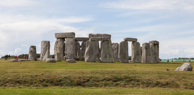
The Stonehenge Cursus is a Neolithic earthwork defined by parallel ditches on Salisbury Plain, Wiltshire, in the United Kingdom, about 700 metres north of Stonehenge. Radiocarbon dating of a red-deer antler tool from the base of its western terminal ditch places its construction between 3630 and 3375 BCE, several centuries before the earliest phase of Stonehenge, dated to around 3000 BCE. Its purpose is uncertain. A ceremonial function is generally proposed, while another interpretation is that it divided settlement areas from ceremonial ground.
Antiquarian study and archaeological investigation
William Stukeley was the first antiquarian to identify and describe the earthwork, but he mistakenly believed it was Roman. The name cursus means “racecourse” in Latin and reflects an early antiquarian misconception that such earthworks were Roman tracks. In 1947, John F. S. Stone excavated part of the southern ditch near the western end. The Stonehenge Riverside Project opened three trenches at that end in 2007 and identified two periods when the southern ditch was recut, around 2500 BCE and again between 2000 and 1500 BCE.
In 2014, the Stonehenge Hidden Landscapes Project identified a second pit near the eastern end and recorded breaks in the earthwork. These gaps have been interpreted as possible passages toward Stonehenge and as evidence for a processional route following the sun. Proposed ritual associations include fertility rites and prayers for harvests. South-to-north alignments may also have guided movement toward the stone circle.
The large Neolithic long barrow beyond the eastern end was noted by Stukeley in 1723 and by Richard Colt Hoare in 1810. John Thurnam excavated it in 1868, recovering an ox skull and later burials. Julian Richards and his team investigated its eastern ditch in the 1980s. The Stonehenge Riverside Project excavated the ditch again in 2008 to examine the barrow’s relationship in date to the Cursus.
Excavation of the nearby Lesser Cursus in 1983 showed that its first earthwork was later extended. Red-deer antler picks from the work date it to approximately 3000 BCE. The Stonehenge Cursus forms part of the National Trust’s Stonehenge Landscape property and the Stonehenge, Avebury and Associated Sites UNESCO World Heritage property, designated in 1986. It is also a Scheduled Monument, a legally protected historic or archaeological site, with that designation dating to 1952. The Lesser Cursus has been scheduled since 1925.
Remains
The main earthwork
Layout and alignments
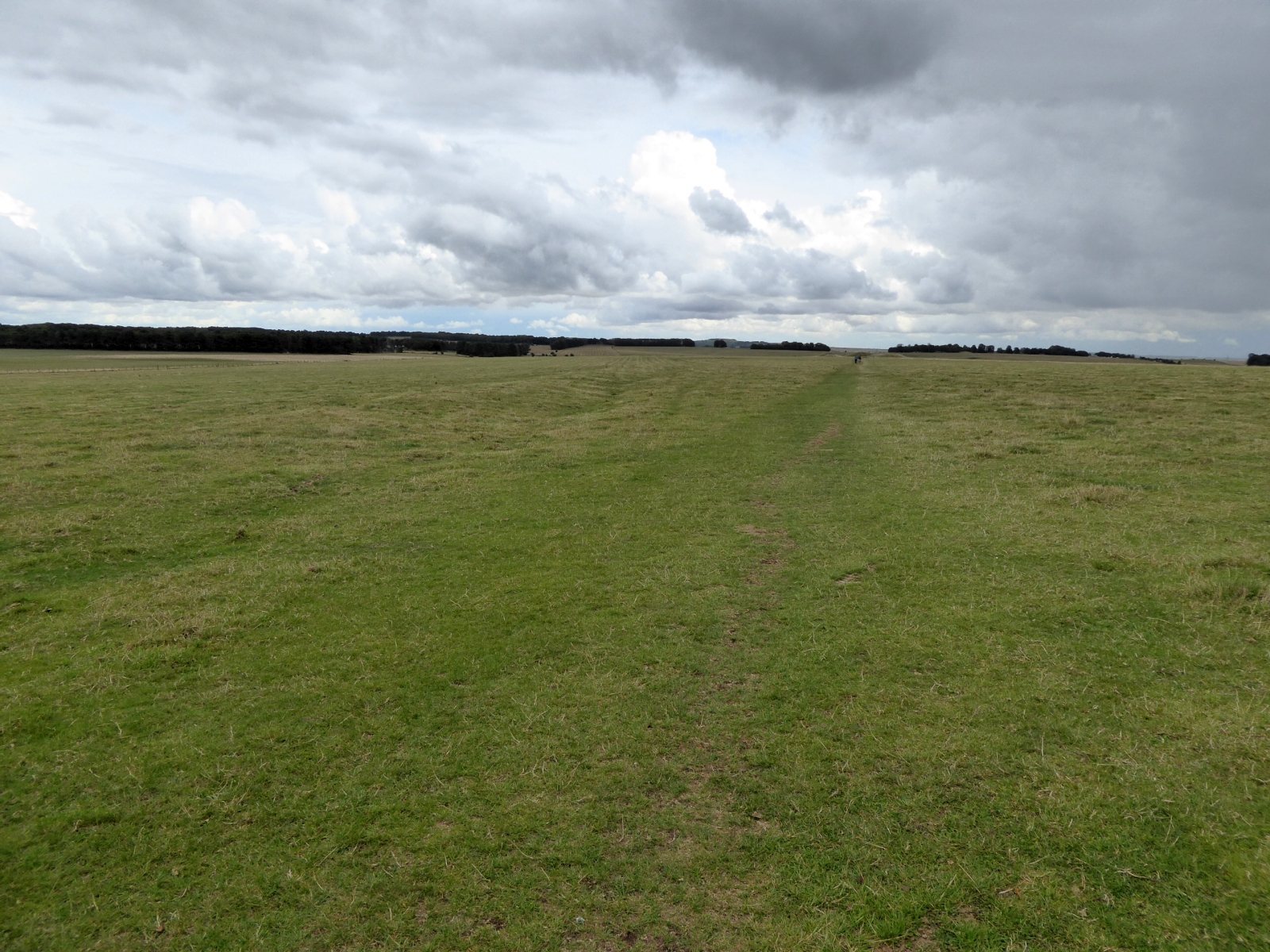
The main Cursus runs roughly east to west for just under three kilometres and measures between 100 and 150 metres across. Its north and south ditches follow slightly different lines, making the earthwork broader toward the western end. The ditches vary in size: the eastern and southern examples are about 0.75 metres deep and 1.8 metres wide at the top, while the western terminal ditch reaches about two metres deep and 2.75 metres wide. The earthwork crosses the dry valley of Stonehenge Bottom, which may have carried a seasonal stream in the Neolithic period. Its east-west line is oriented toward the spring and autumn equinox sunrise, which appears above the eastern long barrow. The Cursus remains in excellent condition.
Artificial pits lie near both ends of the earthwork. Lines through the pits for midsummer sunrise and sunset align with Stonehenge. The eastern pit lies on an extension of the Heel Stone, the large standing stone that marks Stonehenge’s entrance, and aligns with the midsummer sunrise.
Excavated finds
The 1947 excavation recovered a small piece of bluestone and an antler pick from a deliberately cut recess associated with material dated to about 2500 BCE. Finds from the 2007 work included another antler pick from the western terminal ditch and a pottery sherd from the northern ditch, tentatively dated to the fourth millennium BCE.
Associated burial monuments
Western round barrow
A Bronze Age round barrow, a circular burial mound, lies within the western end of the Cursus enclosure.
Amesbury 42 Long Barrow
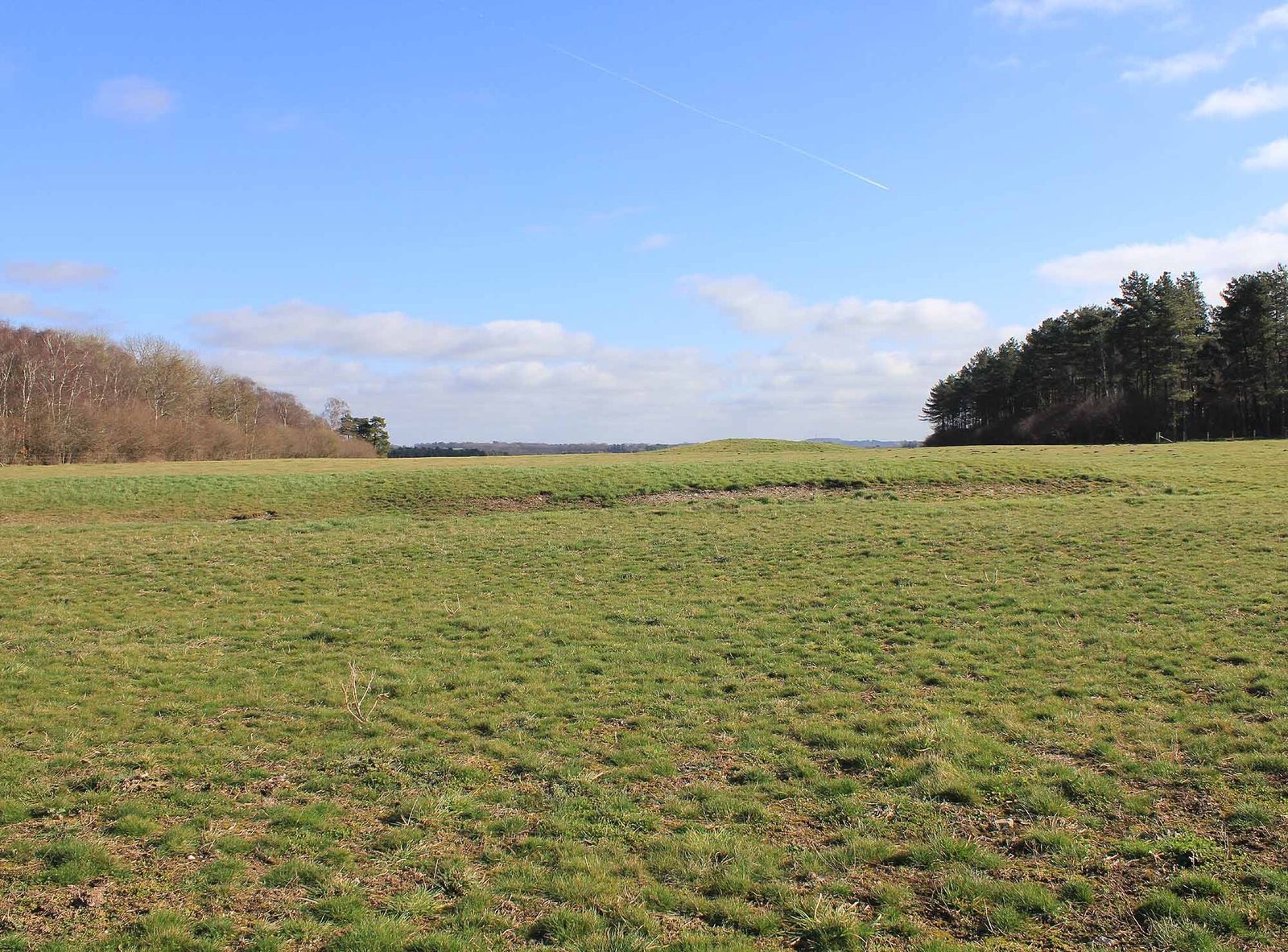
The large Neolithic long barrow, an elongated burial mound, lies just beyond the eastern terminal and is oriented north to south. Known as Amesbury 42, it has been levelled and lies beneath a bridleway along King Barrow Ridge. Its eastern ditch is about two metres deep.
Cursus Barrows Group
Mostly south of the western end, the Cursus Barrows Group is a cemetery of round barrows extending about 1,200 metres east to west along a ridge and reaching up to 250 metres in width. It includes Amesbury 43–56 and Winterbourne Stoke 28–30, as well as the Fargo hengiform, a circular prehistoric earthwork of henge-like form.
Lesser Cursus
The Lesser Cursus lies 750 metres northwest of the main earthwork’s western end. It is about 400 metres long and 60 metres wide, aligned west-southwest to east-northeast. Its ditches and banks stop at an open eastern end. Ploughing after the Second World War levelled the earthworks, which are now visible as a cropmark, a pattern in crop growth that can reveal buried archaeological remains.