Khānderi Island: A Maratha Coastal Fort
Site at a Glance
- Country
- India
- Primary era
- Early Modern
- Eras represented
- Early Modern, Modern
- Civilizations
- British, Maratha
- Site type
- Military
- Remains
- Fort
On this page8 sections
History
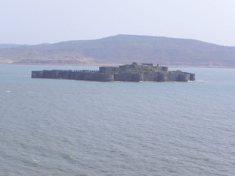
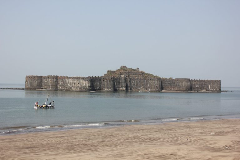
Khānderi Island is a fortified island off the coast of Maharashtra, India. Maratha forces built its fort in 1679, during Shivaji’s rule, to monitor the Siddis at Murud-Janjira and defend the coast.
Maratha defence
Previously uninhabited, the island was occupied in 1679 by Shivaji’s forces under the commander Maynak Bhandari, who oversaw construction of the fort’s walls. Khānderi subsequently saw repeated clashes between Maratha forces and the Siddi navy. Together with neighboring Underi, also known as Jaidurg, it formed a coastal defensive system. The Marathas held Khānderi, while the Siddis, rulers of the fortified Janjira state, controlled Underi.
In November 1718, a small Maratha garrison commanded by Mankoji Suryawanshi repelled a large naval siege led by Charles Boone, governor of the British East India Company. The Company was a trading enterprise that also exercised political and territorial power in India.
Transfer and later history
In 1813, Manaji Angre handed the fort to the Peshwa, the Maratha state’s chief minister, in return for support against Baburao. In 1818, the fort was ceded to British East India Company forces at Bombay as part of Peshwa territory. Company control lasted from 1818 to 1857, followed by direct British Crown rule, known as the British Raj, from 1857 to 1947. The island became part of India in 1947.
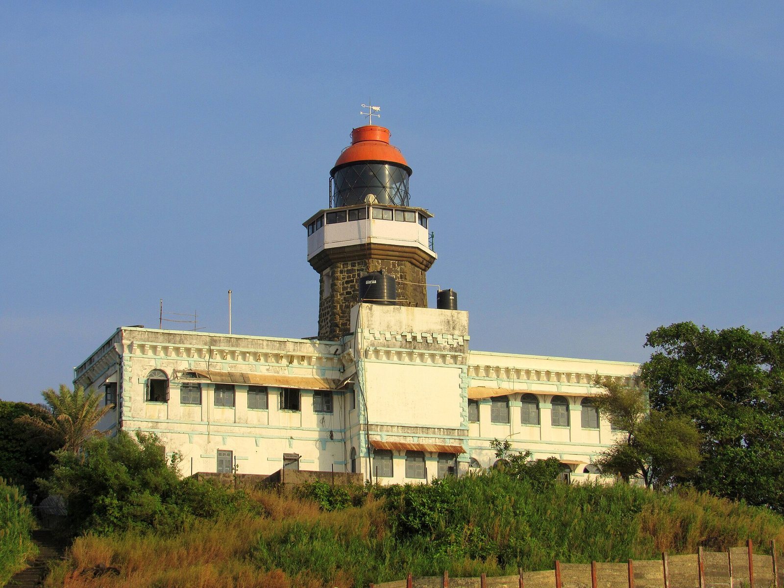
The British built the island’s lighthouse in June 1867. In 1998, Khānderi was renamed Kanhoji Angre Island in honor of the prominent Maratha admiral. In 2025, it became part of the UNESCO World Heritage property Maratha Military Landscapes of India, a group of forts across varied regions that illustrates the military power of Maratha rule. The property was inscribed under criteria recognizing an outstanding building type or landscape illustrating a stage in history, and direct associations with events, traditions, ideas, or beliefs.
Remains
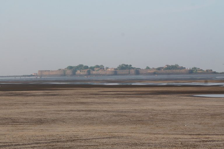
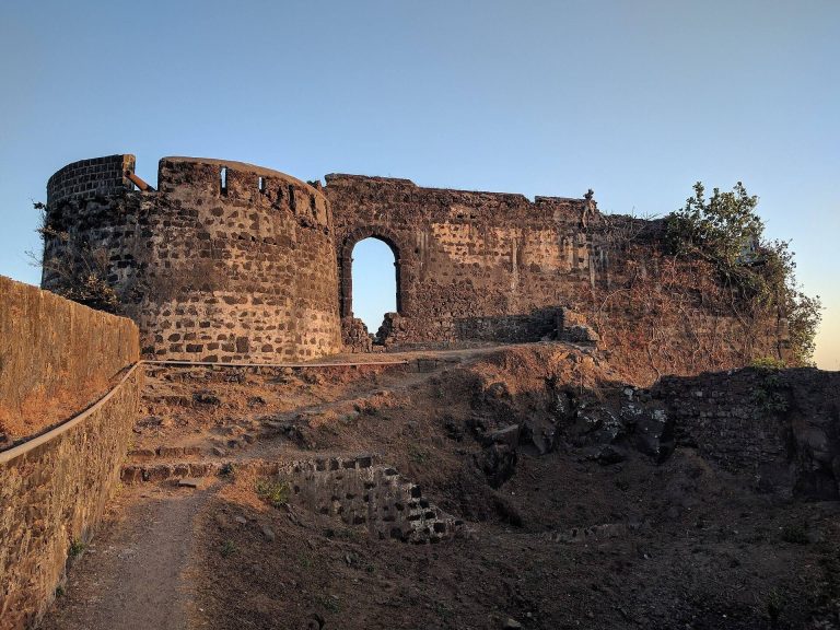
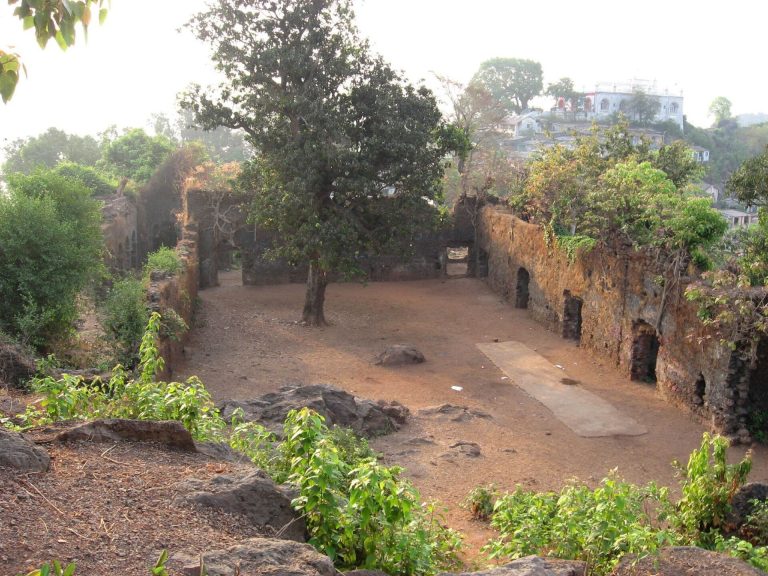
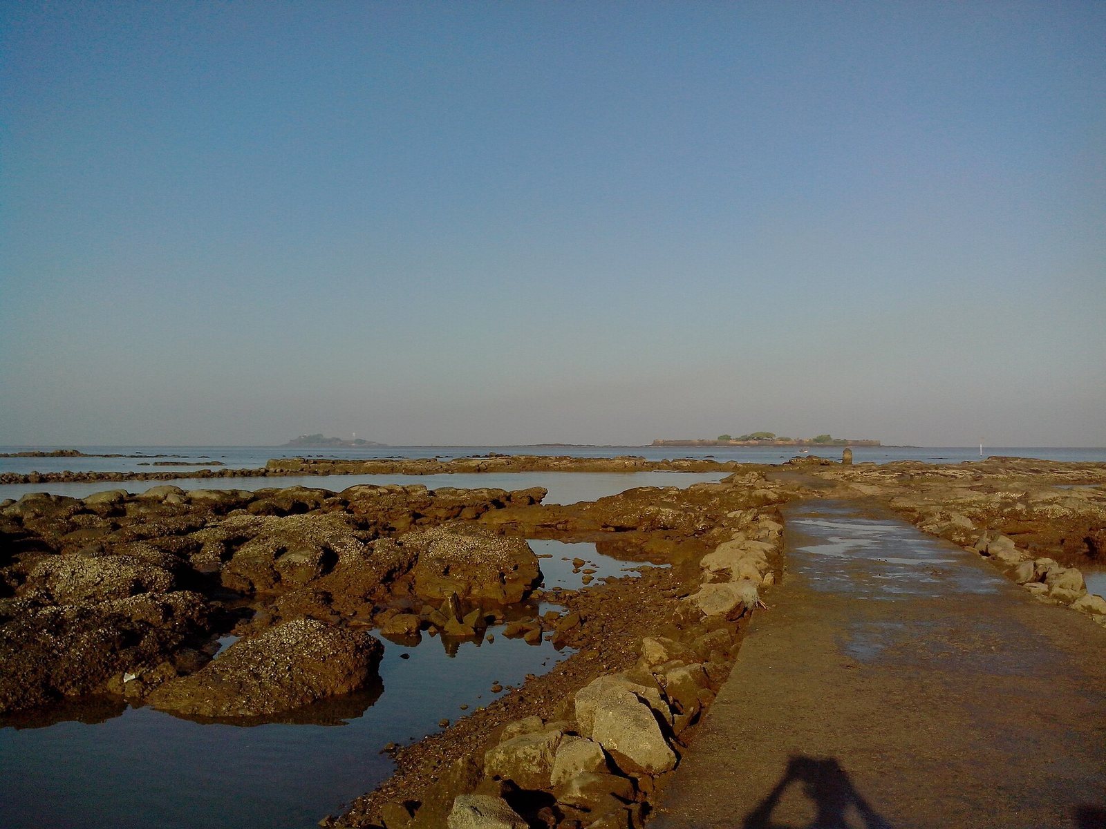
The fort occupies an island about 5 km offshore near Thal and Kihim, and about 20 km south of Mumbai. Two high hills shape the island, one to the north and one to the south. The fortifications are built of basalt stone, and most of the fort remains intact.
Fortifications and island features
Walls, wells, and temple
The island’s basalt fortification walls survive across much of the fort. Two wells were intended to supply water to the forces stationed there. The island also contains a temple dedicated to Sri Betal, a regional deity worshipped in parts of the Konkan.
Other features
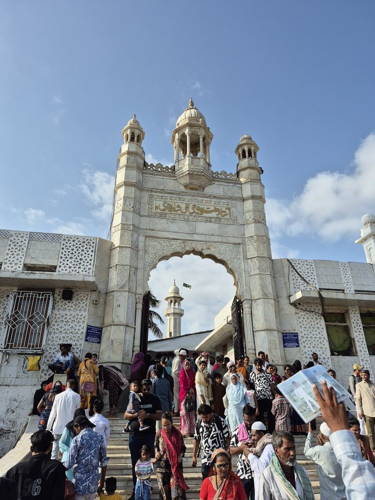
Several old metal cannons remain on the fort, along with the tomb of Daud Pir, a local saint. A stone on the island produces metallic musical notes when struck. A secret way leads from the island to Kulaba Fort at Alibag.
Lighthouse
The island’s octagonal lighthouse stands on a two-storey building. The lighthouse is 22 feet (about 6.7 m) high and can be seen from up to 13 km away.