Korlai Fort: A Portuguese Colonial Fortress in India
Site at a Glance
- Rating
- 4.4
- Popularity
- Medium
- Country
- India
- Primary era
- Early Modern
- Eras represented
- Early Modern
- Civilizations
- Portuguese
- Site type
- Military
- Remains
- Fort
On this page14 sections
History
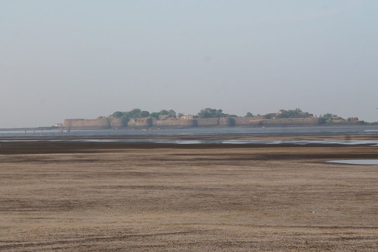
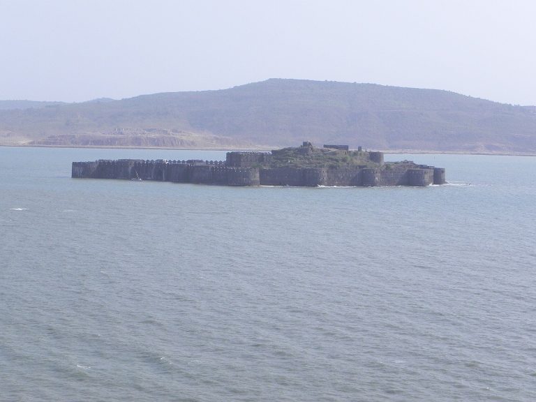
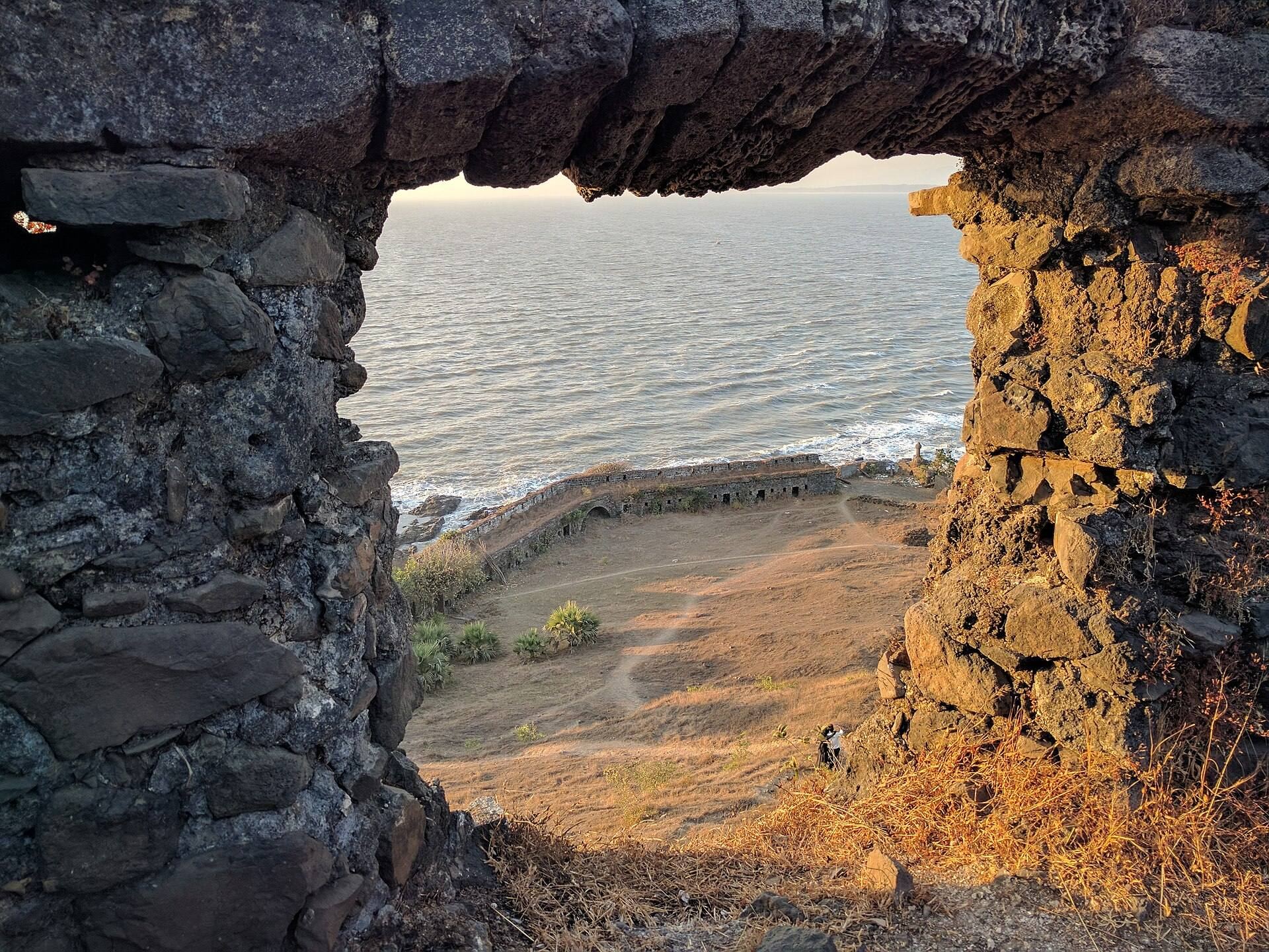
Korlai Fort, also known as Morro de Chaul, is a Portuguese colonial fortress in India, built in 1521 with permission from the Ahmadnagar Sultanate, a Deccan Muslim state that ruled parts of western India. It formed a companion to the fort at Chaul and helped defend Portuguese territory between Korlai and Bassein, as well as the mouth of the bay.
Early Portuguese and Ahmadnagar control
After the death of Burhan Nizam, the Portuguese attempted to seize the fort in 1521. The Ahmadnagar Sultanate sent forces to reclaim it, and a truce followed. The island remained under the sultanate, ending further fortification by the Portuguese at that stage. A wooden cross was left as the remaining sign of Portuguese rule.
The Portuguese reconquest and rebuilding
In 1594, the Portuguese captain Abranches captured Korlai with 1,500 soldiers and 1,500 local troops. The defenders tried to block the outer and inner gates with a dead elephant and a dead horse, but eventually surrendered. Because the Portuguese did not have enough men to hold the fort, they destroyed much of it, retaining the central tower and a battery, a fortified artillery position.
Some sections were later rebuilt, although the garrison was reduced to 50 men. The fort church served worshippers on Sundays and holidays. A later Portuguese construction phase is recorded by an inscription. Viceroy Dom Filipe Mascarenhas ordered the castle to be built in November 1646, and the work was completed in May 1680 under Fernão Miranda Henriques, captain of Chaul, and Cristóvão de Abreu de Azevedo, captain of the fort.
Maratha, British, and Indian administration
Chhatrapati Sambhaji Maharaj, the Maratha ruler and successor of Chhatrapati Shivaji Maharaj, attempted to capture Korlai during a Maratha campaign but withdrew his forces on 6 December 1687. After the Maratha siege of 1739, Portugal ceded Chaul and Morro de Chaul under the Treaty of Poona, dated 18 September 1740. The forts were handed over shortly afterward, and the Marathas controlled Korlai from 1739 to 1818.
Control then passed to the East India Company from 1818 to 1857, followed by the British Raj, the period of direct British Crown rule in India, from 1857 to 1947. India has held the fort since 1947. Korlai is now in ruins and belongs to the Government of India. Portuguese rule also left a linguistic legacy in nearby villages, where Korlai Portuguese Creole, a Luso-Indian language formed through contact between Portuguese and local communities, continues to be spoken.
Remains
Walls, gates, and bastioned defenses
Enclosing wall and entrances
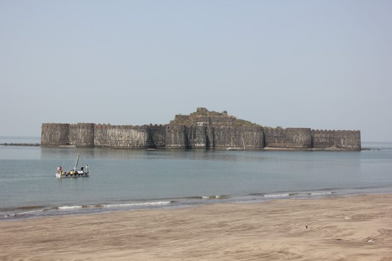
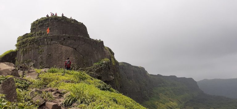
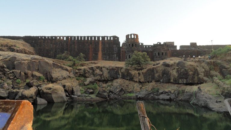
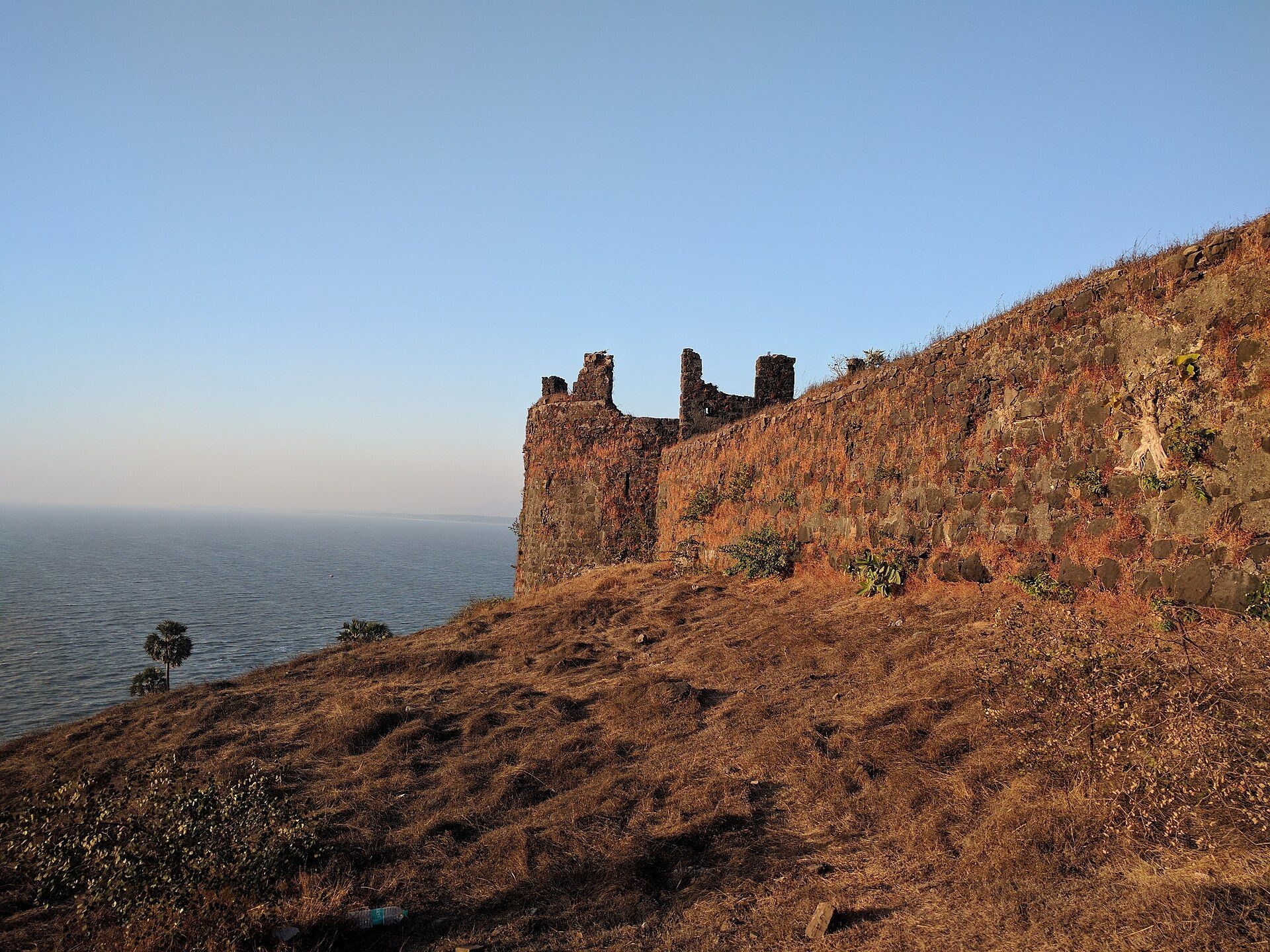
The fort occupies a hill and extends for 2,828 feet, with an average breadth of 89 feet. Its enclosing wall is 5 feet 3 inches high and contains 305 gun battlements. On the inland side, described as the vulnerable approach, a ditch and drawbridge protected access. The main entrance was guarded by a bronze lion, while a bronze eagle stood on the highest tower.
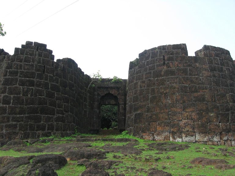
Eleven gates organized movement through the fort, including four outer gates and seven inner gates. Two lines of bastioned fortifications divided the interior into three enclosures. The hilltop itself was bastioned and enclosed by a parapet, a low protective wall along the edge of a fortification.
Saint-named bastions
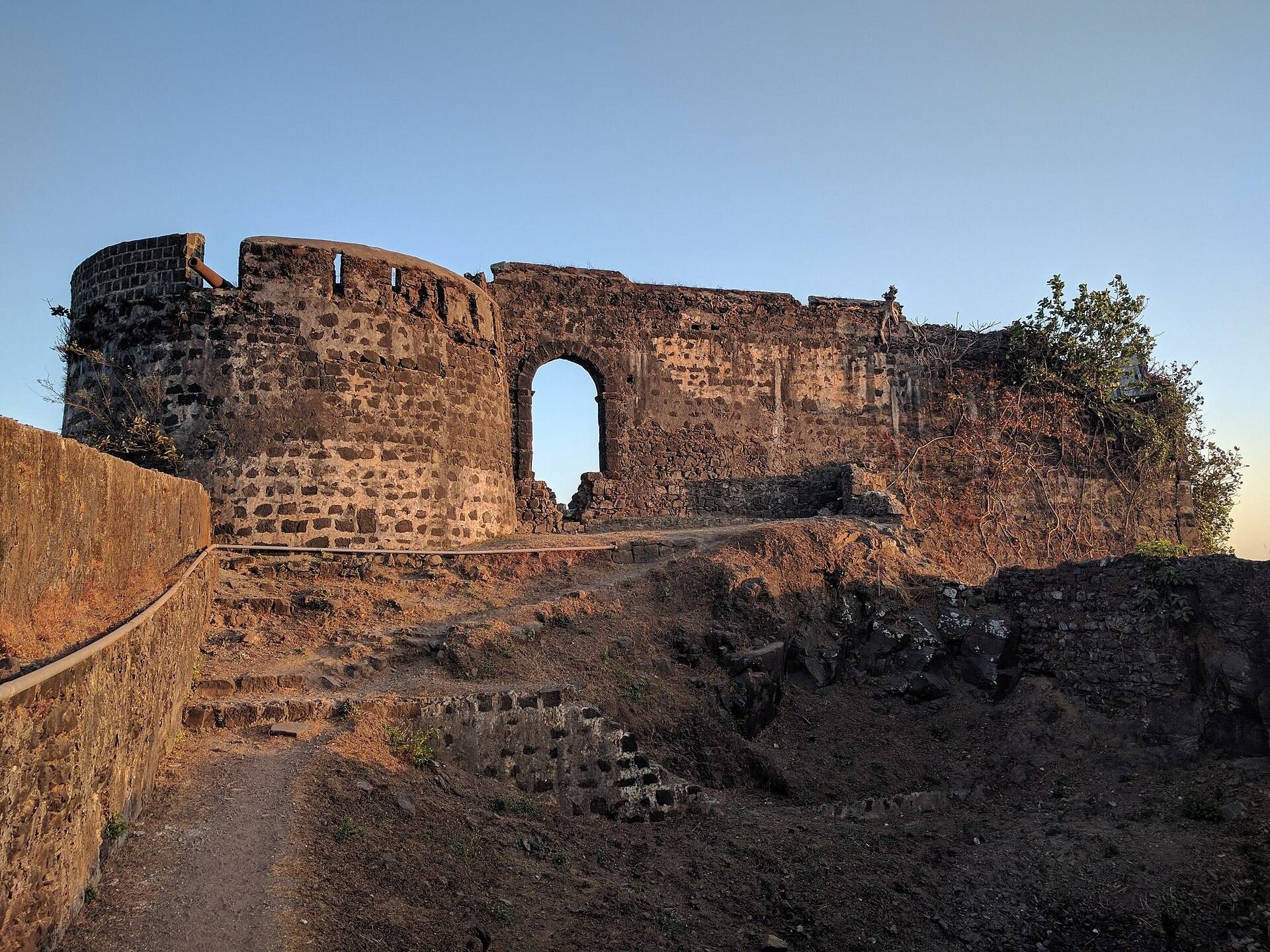
Seven bastions, projecting fortifications designed to let defenders fire along adjoining walls, surround the fort. The two western examples are São Diego, named after Didacus of Alcalá, and São Francisco, named after Francis of Assisi. Other recorded names are São Pedro, São Inácio, and São Filipe. Several names changed during the brief Maratha occupation, with dismantled shrines preserving evidence of those alterations.
Water supply and hilltop buildings
Santa Cruz cistern
At the northern point, within pistol-shot of the main battery, stands the Santa Cruz water cistern, described as a major source of water for the fort. A second large rainwater cistern lies on the hilltop. It has three mouths, each one foot wide, and forms part of the elevated defensive enclosure.
Church and magazine
The hilltop contains the ruins of a magazine and a church. Built in 1630 for the army, the church remained in use until 1728. These remains belong to the period when the fort served both as a military position and as a Portuguese religious establishment.
Inscriptions and surrounding slopes
Portuguese inscriptions
Three Portuguese inscriptions are associated with Korlai Fort. The principal example stands above a doorway in the central and highest part of the fort. It records the construction ordered in 1646 and completed in 1680, and is surmounted by a cross and a coat of arms displaying Portuguese stars surrounded by seven castles. Two further inscriptions, one above the main entrance and another above an altar in the chapel, are worn and cannot be read.
Hill vegetation
The slopes around the fort are managed by the Maharashtra Forest Department. Teak was originally planted on the eastern slopes. In 1996, Casuarina, cashew, and Acacia auriculiformis were planted to help control erosion.