Kleinkastell Freimühle: A Roman Frontier Fort on the Raetian Limes
Site at a Glance
- Country
- Germany
- Primary era
- Classical
- Eras represented
- Classical
- Civilizations
- Roman
- Site type
- Military
- Remains
- Fort
On this page15 sections
History
Roman frontier and the fort
Kleinkastell Freimühle was a Roman fort on the Raetian Limes near Schwäbisch Gmünd, Germany. The Limes was the Roman Empire’s frontier system; here, the Upper German-Raetian Limes marked the boundary between Germania Superior and Raetia, two Roman provinces. Tile stamps identify the builders as soldiers of Cohors I Raetorum, a Roman army unit stationed at the cohort fort of Schirenhof. Freimühle remained in use until around AD 260 at the latest.
The fort’s purpose is uncertain. It may have supported frontier defence, or served as a post for personnel policing the long-distance road through the Rems valley. That road crossed the provincial boundary near the Rotenbach’s meeting with the Rems. Finds in the surrounding valley have also prompted speculation that a unit stationed there for an extended period may have operated independently.
Freimühle stood within an unusually dense group of Roman military posts near the provincial boundary. The cohort forts at Lorch, in Germania Superior, and Schirenhof, in Raetia, together with the frontier’s stone construction only on the Raetian side, have been considered possible signs that officials in the two provinces acted independently.
Rediscovery and investigation
A violent storm uprooted trees in 1901, exposing masonry at the site. Two forestry officials came across the remains while clearing fallen timber during the winter of 1901–1902. Schwäbisch Gmünd’s mayor, Paul Möhler, then initiated excavations that revealed the foundations of a Roman building. In 1902, Major Heinrich Steimle, a commissioner of the Imperial Limes Commission responsible for this stretch of frontier, investigated the fortifications and interior and identified the site as a fort. Efforts by state conservator Eugen Gradmann and the Württemberg Ministry of Culture secured support for more extensive excavation.
Modern study and protection
After the Upper German-Raetian Limes received UNESCO World Heritage status in 2005, an international recognition of cultural importance, survey work at Freimühle used magnetic and electrical methods. Woodland was cleared from the fort area, making its earthwork more visible, and the site was newly recorded. The fort and related archaeological remains are also protected as cultural monuments under Baden-Württemberg’s heritage law.
Remains
Setting and plan
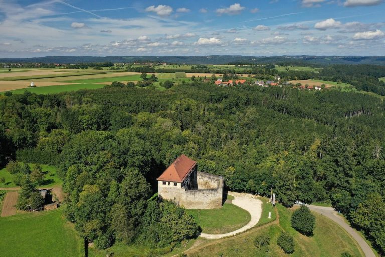
The fort occupied a slight spur on the east-facing slope of the Rotenbach valley, in the Vogelhau forest area northwest of Schwäbisch Gmünd. At about 348 metres above sea level, it overlooked the Rotenbach valley and part of the Rems valley. Kleinkastell Kleindeinbach and the watchtower above it were also visible to the northwest. The enclosure had rounded corners and measured 52.10 by 54.86 metres, covering about 0.29 hectares. Its orientation was almost the same as that of Schirenhof, across the Rems.
Frontier alignment
The fort stood about 750 metres south of the Roman imperial frontier. A west-to-east timber palisade, apparently built around AD 164, ran into the Rotenbach valley about 750 metres to the north. The stone section of the frontier began near the provincial boundary, about 90 metres west of the fort above the Rotenbach, and continued to the Danube.
Fortifications
Walls and corner towers
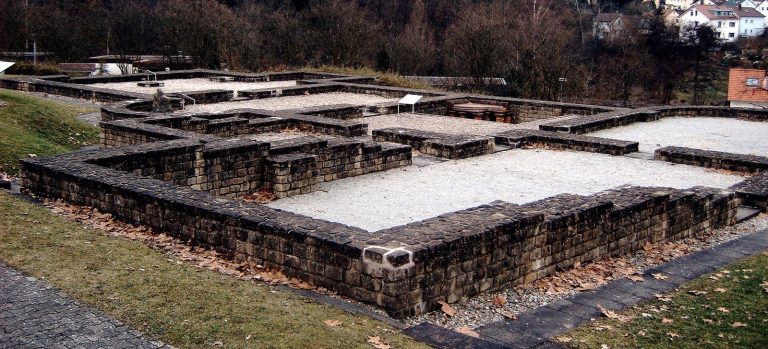
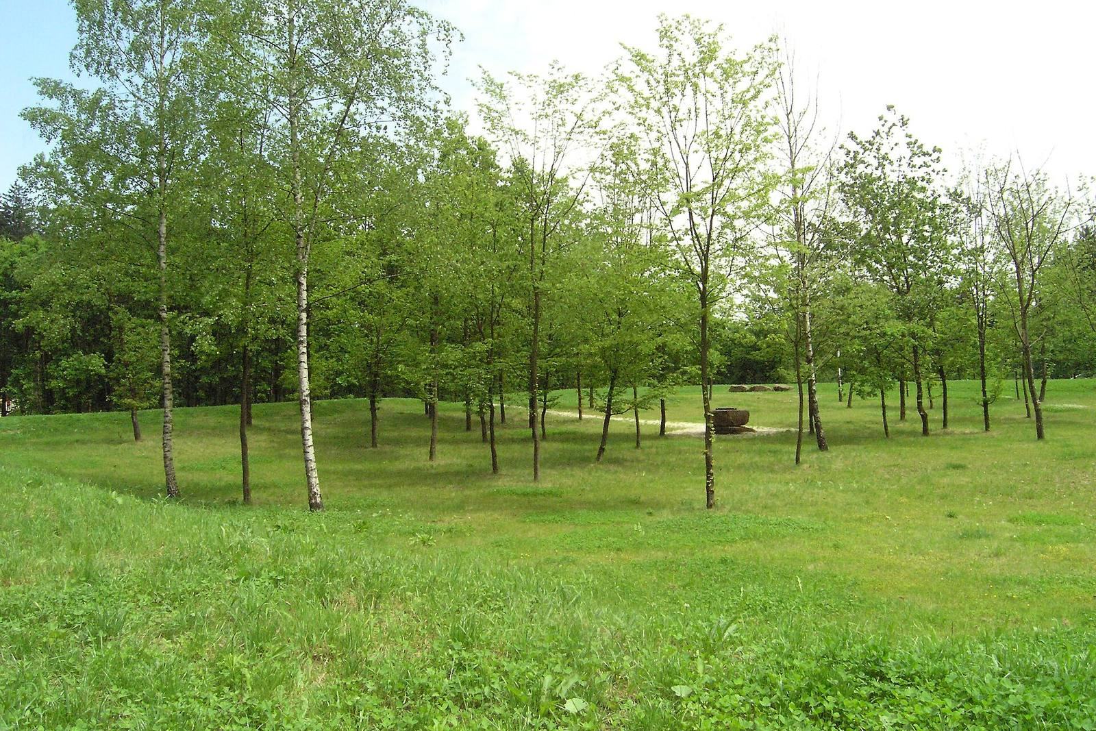
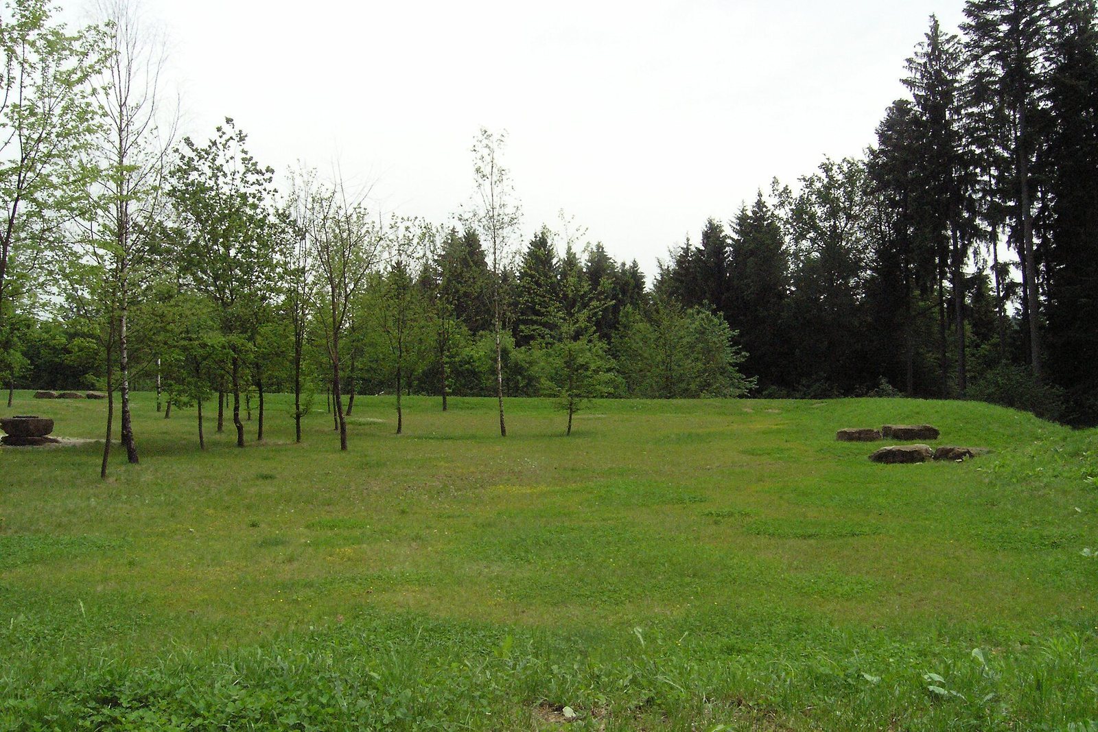
A stone perimeter wall, 1.22 metres thick, enclosed the fort. Where masonry survived, it was recorded in 1902 as standing up to 0.80 metres high. A base profile projected outward by about a hand’s breadth. Each rounded corner had a trapezoidal tower. Since the 2005 work, a clearly visible earthwork marks the line of the original wall.
Gates
The eastern entrance had a single-lane passage between 3.24 and 3.66 metres wide, flanked by two towers. In 1902, the gate structure was recorded as standing up to 0.80 metres high. Recesses in either side of the entrance held the doors when open. The western gate was almost entirely destroyed; Steimle noted numerous charred beam remains there.
Ditch and patrol ramp
A V-shaped ditch about six metres wide bordered the fort and stopped short of the gates. Inside the stone wall, an earth ramp provided a patrol route for the guards.
Interior and associated remains
Interior structures
The interior had been heavily disturbed by the time of the 1902 investigation. Timber-built structures are now considered likely, although their arrangement remains uncertain; the limitations of excavation methods at the time may have contributed to that uncertainty.
Fort bath
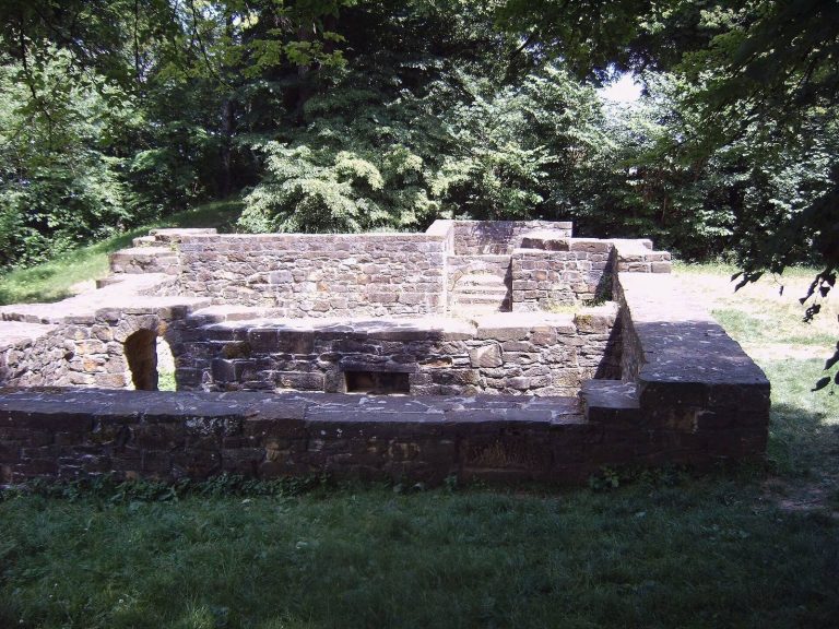
A small bath stood about 50 metres southwest of the fort, on the slope descending toward the Rems valley. It was already badly damaged when Steimle examined it in 1902. Today, its location appears as a slight unevenness in the ground.
Archaeological finds
Roman pottery sherds were found at the fort after the 1901 storm exposed the site. At the valley floor southwest of the fort, where the Rotenbach leaves its valley, Roman settlement remains and graves came to light during construction of road and railway bridges.