Iwami Ginzan Silver Mine: Japan’s Historic Mining Complex
Site at a Glance
- Popularity
- Very High
- Country
- Japan
- Primary era
- Early Modern
- Eras represented
- Medieval, Early Modern, Modern
- Civilizations
- Japanese, Tokugawa
- Site type
- Economic
- Remains
- Mine
On this page19 sections
History
Iwami Ginzan Silver Mine is a historic mining complex centered on Ōmori in Ōda, Shimane Prefecture, Japan, where substantial underground development began in 1526–27. It grew into Japan’s largest silver mine, reaching its peak in the late Sengoku period, an era of conflict among regional military houses, and the early Edo period. As silver output declined, the complex also produced copper and other minerals.
Early development and contest for control
A tradition dated to 1309 says that Ōuchi Hiroyuki discovered silver after receiving a revelation from Hokuto Myōken, a Buddhist deity associated with the North Star. Some surface mining may have taken place around that time. More extensive underground work began in 1526–27, when the Hakata merchant Kamiya Jutei opened workings on Mount Ginpō with support from local lord Ōuchi Yoshioki and help from copper-mine operator Mishima Seiuemon. A separate story says Jutei noticed the mountain shining from the sea. The light may have been moonlight reflecting from naturally exposed silver.
In 1533, Kamiya introduced the Haifukiho method of cupellation (a lead-based silver-refining process), with refiners brought from Hakata. The method’s route into Japan is uncertain, with China and Korea both proposed. Demand for silver in Ming China, ruled by the Ming dynasty from 1368 to 1644, and the expansion of Japan’s commercial economy helped drive the mine’s growth.
Regional houses repeatedly fought for control. Ogasawara Nagataka seized the mine in 1530, but the Ōuchi recovered it in 1533. Amago forces took it in 1537; the Ōuchi regained it in 1539, and the Amago retook it in 1541 with Ogasawara assistance. Mōri Motonari later contested the mine with Amago Haruhisa. After Haruhisa’s death in 1561, his successor, Amago Yoshihisa, agreed to a non-interference pact with the Mōri in 1562, after which the Mōri secured the mine.
Mōri and Tokugawa administration
The Ōuchi established Yamabuki Castle to protect the mine. In 1562 the Mōri presented it to the imperial court as an estate assigned to support the court. An assessment from 1581 listed annual receipts of 33,072 kan, valued at 3,652 silver pieces. These revenues strengthened the Mōri’s political and military position. After Mōri Terumoto submitted to Toyotomi Hideyoshi in 1584, Mōri and Toyotomi officials administered the mine jointly. Its silver helped finance Hideyoshi’s invasions of Korea, and in 1591 Terumoto appointed officials to oversee the silver mines in his territories.
Following the 1600 Battle of Sekigahara, Tokugawa Ieyasu took control and placed the surrounding territory under the Tokugawa shogunate, Japan’s military government led by the Tokugawa family. Ōkubo Nagayasu became mine magistrate in 1601 and accelerated development. In 1602, mine operator Yasuhara Denbei discovered the Kamaya workings and presented their silver to Ieyasu.
Peak production and changing fortunes
Production reached its height in the early seventeenth century. The mine was estimated to produce 38 tonnes of silver a year, while Japan’s total annual output was estimated at about 200 tonnes, roughly one-third of world production. Silver went to China, Portugal and the Netherlands. Refined metal was also shaped into leaf-like pieces and used as currency by weight. European maps identified the mine, and foreign traders were said to call its silver Soma Silver, a name derived from the area’s earlier name, Sama.
Output later fell, and in 1675 the mine magistrate’s office was reduced to a local deputy-governor’s office. Villages along the silver transport routes faced labor and supply obligations, which led to complaints and disputes. The system continued into the shogunate’s final years. During the Kyōhō famine, a period of severe food scarcity, the nineteenth mine magistrate, Ido Masaakira, distributed rice, reduced or remitted taxes, and introduced sweet potatoes from Satsuma in southern Kyushu. Known as the Potato Magistrate, he was later commemorated with memorials in several prefectures.
A major fire destroyed much of the Ōmori area in 1800. By the late Edo period, silver had become harder to extract, groundwater made mining more difficult, and operations were no longer profitable. In 1853, mine magistrate Yashiro Masunosuke Tadayoshi commissioned an investigation into miners’ occupational illnesses. A herbalist and a Western-style physician from Kasaoka investigated from 1855 to 1858 and proposed measures including better ventilation, protective face coverings and attention to miners’ health. Their work addressed hazards such as lead fumes, water, heat, humidity, slag and dust; a ventilation duct was completed in 1857.
From shogunal mine to permanent closure
During the 1866 Second Chōshū Expedition, Chōshū forces advanced and the last Ōmori magistrate fled, ending shogunal control. Chōshū administered the former mine territory until Ōmori Prefecture was established in 1869. The mine had been privatized in 1868, with operating rights passing to Tanaka Yoshitarō. An earthquake in 1872 temporarily halted work.
From 1886, Fujitagumi tried to redevelop the mine, transferring extraction facilities and offices from Ōmori to Kōjiyadani in Nima. A refinery built in 1895 ran for a little over a year before being replaced. Copper had become the principal product, but falling prices and worsening underground conditions led to the suspension of mining in 1923. Copper production resumed from 1941 to meet wartime demand. Flooding in 1943 inundated the workings and permanently closed the mine. After surveys found no deposits that could be mined economically, the rights passed from DOWA Holdings to Shimane Prefecture in 2006.
Protection and World Heritage inscription
The mine became a Shimane Prefecture historic site in 1967 and a national historic site in 1969. The Ōmori streetscape was designated an Important Preservation District for Groups of Traditional Buildings in 1987, and the Yunotsu port and hot-spring town received the same designation in 2004.
Japan added the mine to its UNESCO World Heritage tentative list in 2001 and submitted its nomination in 2006. In 2007, ICOMOS, an expert advisory body on cultural heritage, recommended deferring inscription because it considered the evidence for outstanding universal value insufficient. The World Heritage Committee nevertheless voted unanimously to inscribe Iwami Ginzan Silver Mine and its Cultural Landscape on 28 June 2007; formal registration followed on 2 July. Recognition emphasized the site’s role in exchanges between eastern and western civilizations, its mining and trading system, and its record of forest management and comparatively low-impact extraction. A minor boundary change approved in 2010 expanded the property from 442 to 529.17 hectares; its buffer zone covers 3,134 hectares.
Remains
The remains extend across mountainous ore-bearing ground and include underground workings, a mining settlement, administrative and religious sites, historic roads and port connections. The complex is organized around the Ginzan area, the later Ōmori area and a surrounding transport area. Its narrow galleries follow ore veins through the Sennoyama region, also called Ginpōzan, and the surrounding mountains toward Nima and Yunotsu.
Mine workings and mountain landscape
Underground passages
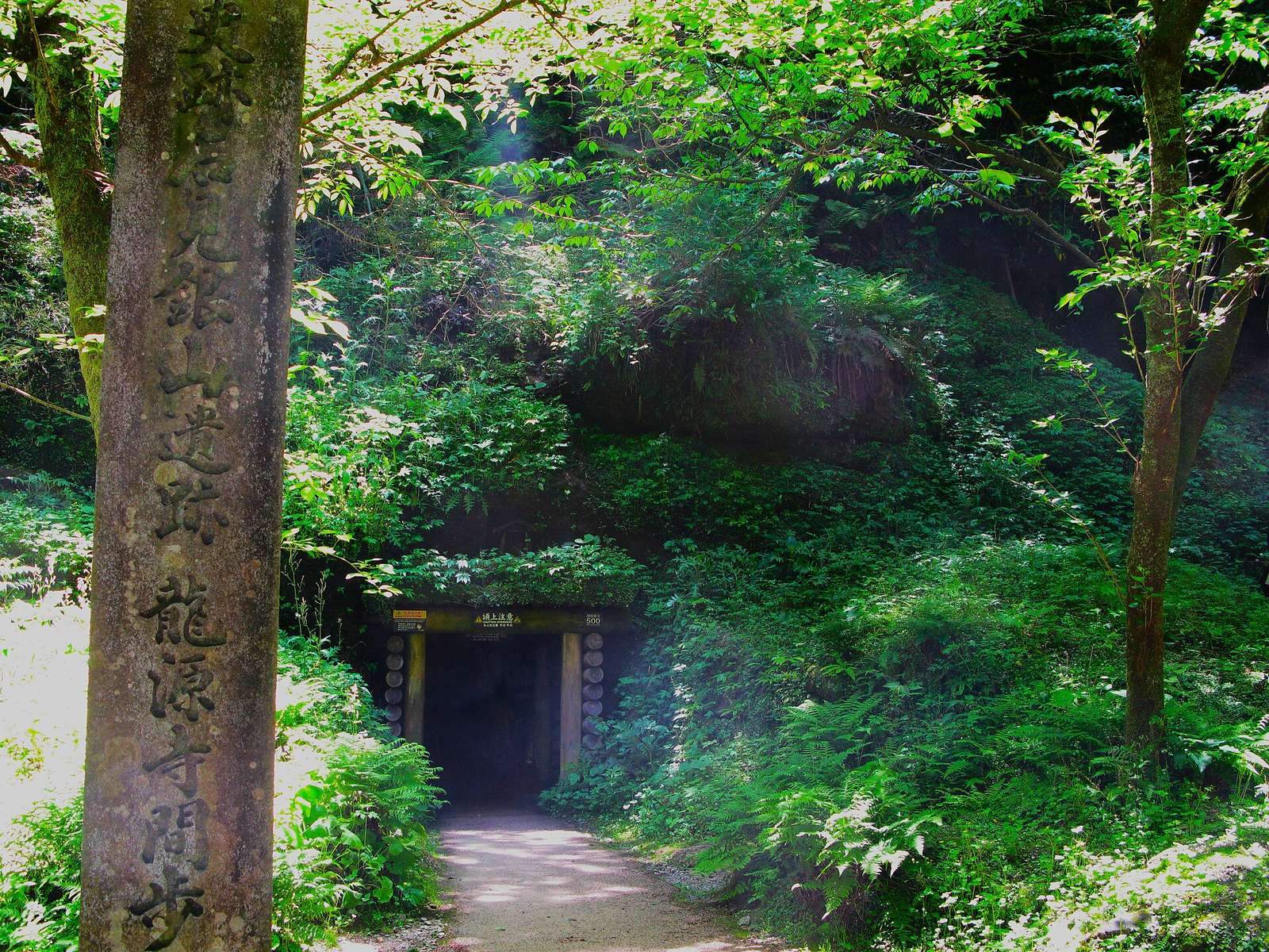
Early miners worked exposed silver-ore outcrops near the summit before following the veins underground. More than 600 shafts and galleries are identified across the mine area; by 2015, more than 700 mine and drainage passages had been confirmed. The workings include Kamaya, Ryūgenji, Ōkubo and Eikyū, with galleries connecting below ground. The deepest confirmed passages reach about 200 metres below the level of the Eikyū tunnel, which lies at roughly 400 metres above sea level. Later workings also yielded chalcopyrite, pyrite and galena, minerals containing copper, iron and lead respectively.
Ōkubo and Kamaya
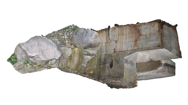
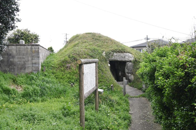
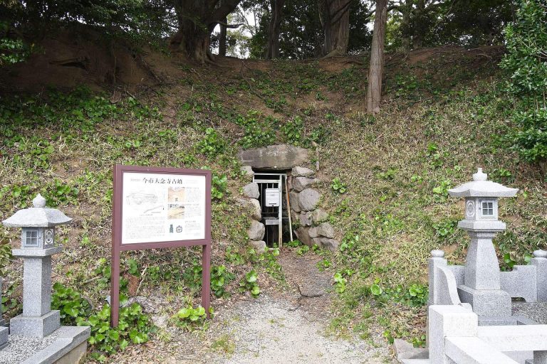
Ōkubo was worked from the Edo through the Meiji periods. Miners first cut it by hand and later enlarged it with drills; wooden rails and carts carried ore out. Local residents, including schoolchildren travelling through the mountain, also used the passage. A local tradition held that it was large enough for Ōkubo Nagayasu to ride through on horseback with a spear. The Kinsei drainage tunnel lies below Ōkubo, and a connecting staircase can be seen from inside it. Kamaya lies above Ōkubo, with remains of on-site silver refining excavated nearby.
Surface workings and summit
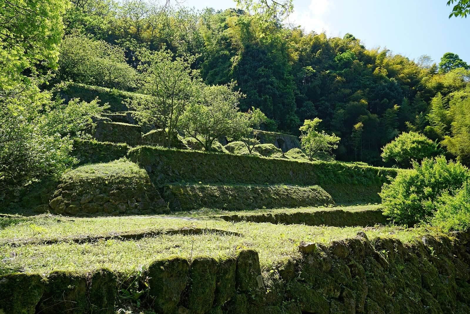
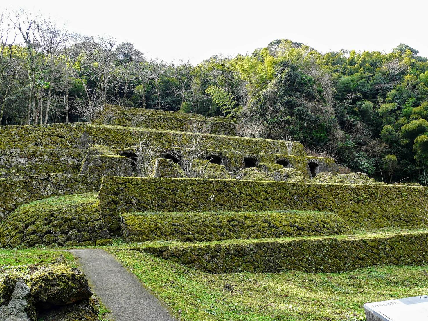
Waste rock from mining was used to fill nearby valleys and create level ground. Before electric lighting, miners used lamps made by filling turban shells with rapeseed oil. At the mountain summit, remains of surface mining and settlement occur alongside fragments of imported ceramics.
Mining precinct and settlement
Ginzan and Ōmori
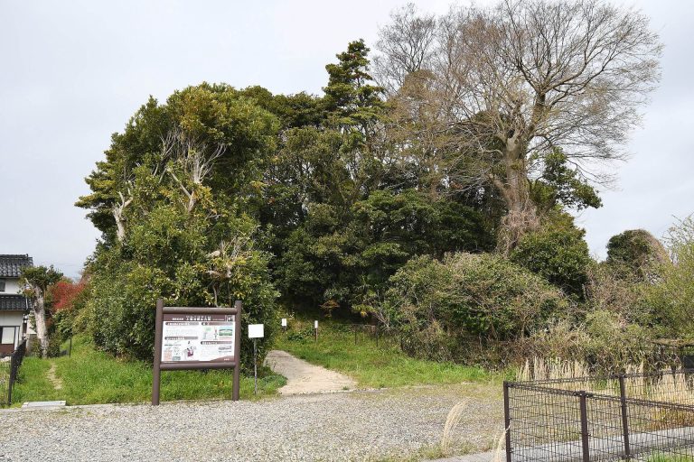
In the early seventeenth century, a fenced precinct of about 300 hectares enclosed the mine area known as Ginzan Sakunouchi, meaning the enclosed mining precinct. The Ginzan area contains the mine settlement, while Ōmori includes the mine administration site. The town developed quickly within a confined area, bringing samurai residences, merchants, temples and shrines close together in an arrangement described as unusual for a feudal-era Japanese town. Surviving features include temples, shrines and stone walls.
Administrative and refining sites
The Daikansho site preserves the remains of the magistrate’s office. Nearby, the Miyanomae site contains silver-refining facilities. The House of the Kumagai Family in Ōmori served as a place for weighing and accounting for silver paid to the shogunate.
Religious and defensive sites
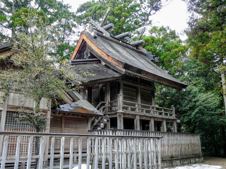
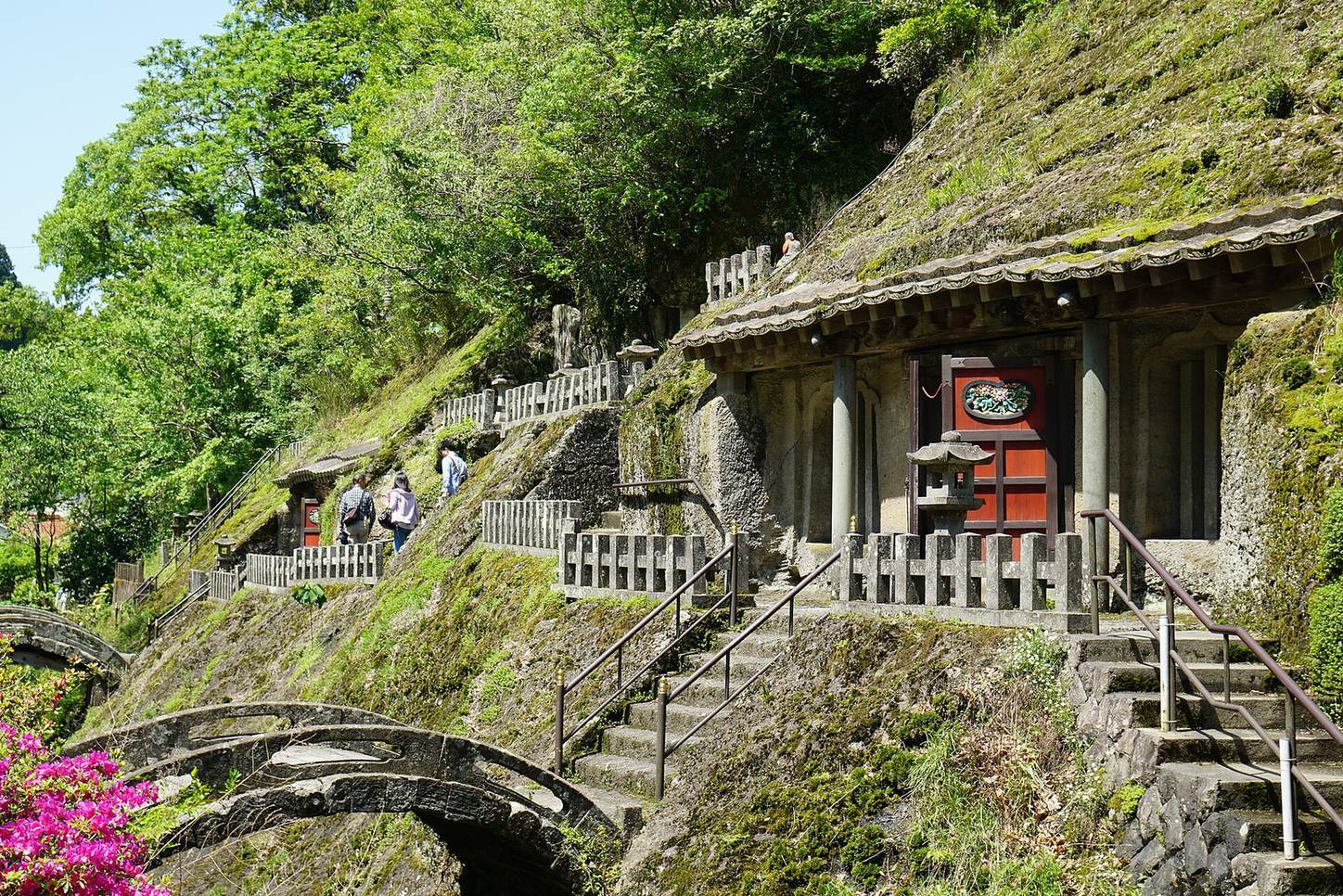
Rakan-ji is associated with the Five Hundred Arhats, Buddhist disciples who have attained enlightenment. Sahimeyama Shrine is dedicated to a Shinto deity regarded as a protector of the mine. Three castle sites associated with the property are Yataki, Yahazu and Iwami. Yamabuki Castle, a separate fortification built to protect the mine, stood near the center of the mining complex.
Mineral specimens
In 2017, mineral specimens dating to the Edo period were found in a house belonging to a family that had served as town elders. They may have been used for instruction or demonstration and could help clarify how the mine was managed.
Transport routes and forested landscape
Roads and ports
The mine’s transport network connected the workings with the ports of Tomogaura and Okidomari and the port town of Yunotsu. Historic routes include the Tomogaura road and the Yunotsu–Okidomari road. The inland silver route crossed the Chūgoku Mountains from Ōmori toward Onomichi, then continued to the shogunate’s silver exchange office in Kyoto. Road construction destroyed a stone-paved slope on the Yunotsu–Okidomari route in 2008. Archaeological work recorded its remains, and some paving stones were reused in steps beside the road.
Forest and earthquake damage
Broadleaf forest remains across the mining landscape. Narrow underground workings and managed logging, including replanting trees after cutting, limited forest clearance and erosion compared with mining practices that required extensive timber or the removal of mountain slopes. The 2018 western Shimane earthquake damaged stonework at 12 locations in the mine area, including a guardian-lion pedestal at Sahimeyama Shrine and part of a stone wall at the Daianji site. An old house in Ōmori also lost plaster and roof tiles.