Brévenne Aqueduct: A Roman Water Supply for Lugdunum


Site at a Glance
- Rating
- 4.1
- Popularity
- Very Low
- Country
- France
- Primary era
- Classical
- Eras represented
- Classical
- Civilizations
- Roman
- Site type
- Infrastructure
- Remains
- Aqueduct
On this page7 sections
History
The Brévenne Aqueduct is a Roman aqueduct in France that carried water to Lugdunum, the Roman city established at modern Lyon. It was the third aqueduct built for the city and was constructed during the reign of Emperor Claudius, a Roman emperor of the first century AD. Archaeomagnetic analysis, which dates fired bricks through magnetic information preserved during manufacture and firing, placed brick cores from the Massues ramp within an interval from 23 BC to AD 88.
Water supply for Lugdunum
The aqueduct took its name from the Brévenne River and its drainage basin, where its water was captured. Its first intake stood at about 600 metres above sea level at Aveize. From the flank of the Lyonnais Mountains, the route ran northward toward the Saône valley before reaching Lugdunum. The aqueduct supplied the Fourvière district, corresponding broadly to the area of Lyon’s present-day 5th arrondissement.
The course extended for approximately 70 kilometres. Camille Germain de Montauzan, a scholar who investigated Roman aqueducts, estimated its theoretical discharge at 28,000 cubic metres per day, or 324 litres per second, and regarded it as the largest-capacity of the four aqueducts supplying Lyon. Jean Burdy proposed a lower estimate of 10,000 cubic metres per day, equivalent to 115 litres per second.
Protection of the surviving remains
At Tassin-la-Demi-Lune, near the boundary with Écully, the remains around the Massues siphon have received several historic-monument protections. The four piers were classified in 1945, the outlet reservoir in 1986, and the other surviving vestiges were listed in 1985.
Remains
Buried course and above-ground sections
Approximately 95 percent of the aqueduct was buried. Its above-ground route included about 650 metres of arches at Lentilly and about 1,900 metres in Lyon. The aqueduct is also documented at Courzieu and in the Parc de l’Aqueduc at Dardilly. At Écully, part of the bridge of the Planches siphon survives, while at Tassin-la-Demi-Lune the Massues ramp and outlet reservoir form the principal surviving remains.
The Massues siphon
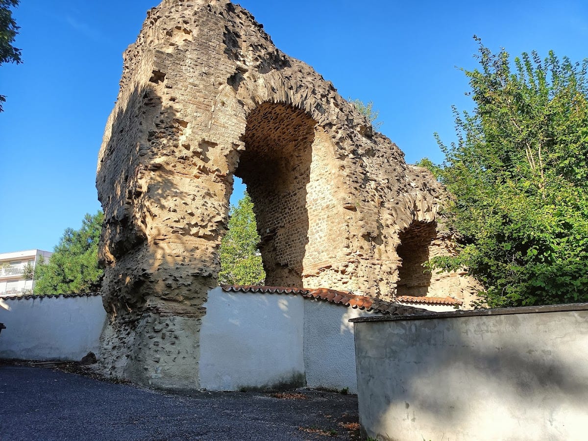
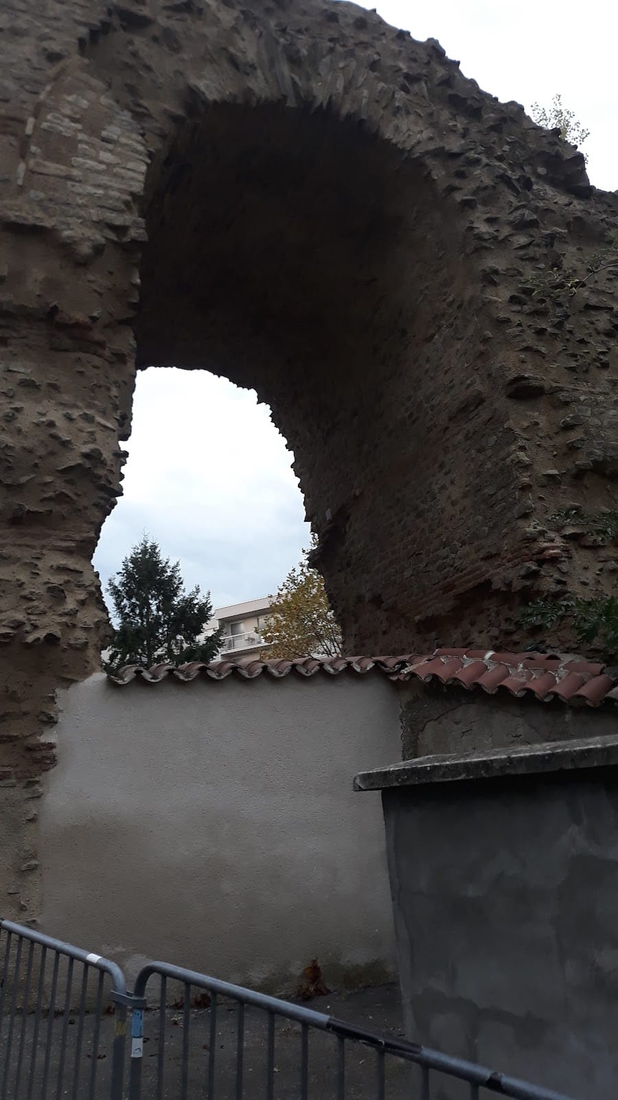
The Massues remains include a sloping ramp and an outlet reservoir. Four piers stand on private property beside the continuation of Rue des Aqueducs, where the road becomes Rue de Boyer, but they can be seen from public space. The structures belonged to an inverted siphon, a pressurized conduit system for crossing a valley or other depression. Water descended from an upstream pressure reservoir along one ramp, crossed the low point through conduits carried by a bridge, and rose along a second ramp toward a downstream reservoir.
Managing the gradient
The aqueduct’s average gradient was about 5 millimetres per metre, or 5‰, steeper than the ideal gradient of approximately 1.5 millimetres per metre, or 1.5‰. To control the flow, its builders inserted short horizontal or gently sloping sections separated by vertical drops in shafts. These drops were approximately 2.3 to 2.5 metres high, limiting water speed and protecting the conduit lining from erosion. At Chevinay, the arrangement formed a hydraulic staircase in which water descended 87 metres over only 300 metres. The Plainet site containing this feature is now covered.