Hurvat Manot: A Crusader Sugar-Producing Farm in Israel
Site at a Glance
- Rating
- 3.9
- Popularity
- Very Low
- Country
- Israel
- Primary era
- Medieval
- Eras represented
- Medieval
- Civilizations
- Crusader
- Site type
- Economic
- Remains
- Production Complex
On this page7 sections
History
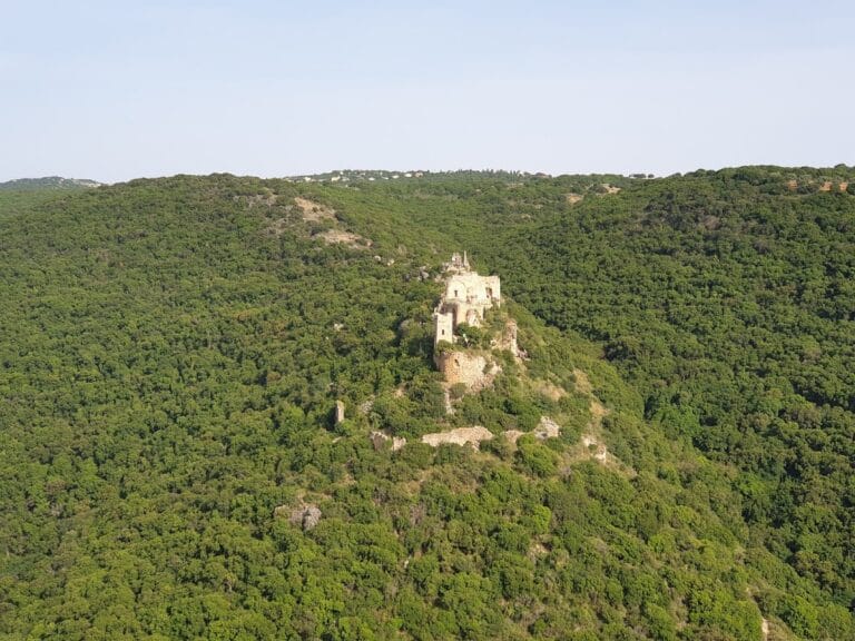
Hurvat Manot is a fortified sugar-producing farm built during the Crusader period on a small hill in northern Israel, beside Nahal Kziv. The Crusader period refers to the era of Latin Christian states established in the eastern Mediterranean from the late eleventh to the thirteenth century. The site, also recorded in Latin as Manueth, was an agricultural estate where sugar cane was grown and processed, and it is a rare surviving example of a Crusader sugar-production complex.
Earlier settlement and Crusader foundation
A separate settlement existed during the Roman and Byzantine periods on the nearby hill now called Horvat Sogar. Identified with Bibras of the Jerusalem Talmud, it contained a church, caves, winepresses, and rock-cuttings before it was abandoned. Settlement later resumed on the neighboring hill of Hurvat Manot during the Crusader period.
Manot first appears in Crusader records during the second half of the twelfth century as the feudal estate of Manueth. A knight leased the farm from the Church of Saint Salvator on Mount Tabor and cultivated sugar cane in the surrounding area. The crop was then processed into sugar at the estate.
Changes of ownership and later use
In the 1180s, Joscelin de Courtenay, lord of Mi’ilya, purchased the estate together with other holdings. After the Crusader defeat at the Battle of Hattin in 1187, Saladin captured the fortress. Saladin was the Muslim ruler who founded the Ayyubid dynasty and led the forces that defeated the Crusaders at Hattin. The Crusaders soon recaptured the fortress and restored it to its owners.
In 1212, the fortress was sold to the Knights Templar, a medieval military-religious order that combined religious life with military and estate-management responsibilities. The Mamluk sultan Baibars captured it in 1260 during his campaigns against the remaining Crusader strongholds. The Knights Hospitaller later seized the fortress and leased it to the Teutonic Order, another medieval military-religious institution.
The farm probably continued operating until the sixteenth century, when it was used for raising buffalo. It was later abandoned. In 2001, the Israel Antiquities Authority conducted a salvage excavation in the western part of the site under the direction of archaeologist Edna Stern. The Jewish National Fund cleared extensive vegetation from the remains, revealing additional features of the complex. The hill is covered by natural woodland maintained by the Jewish National Fund.
Remains
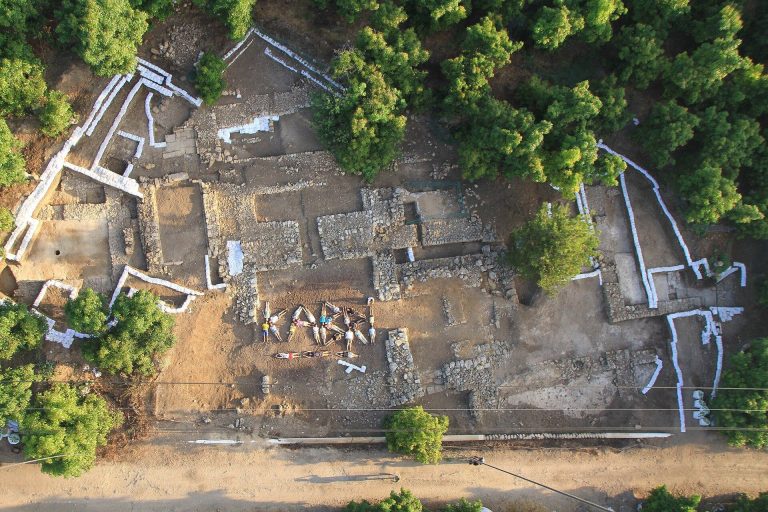
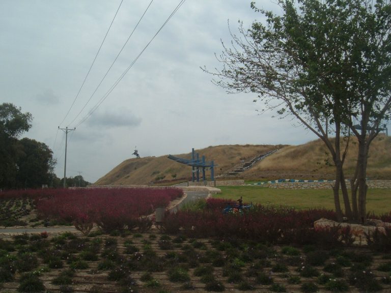
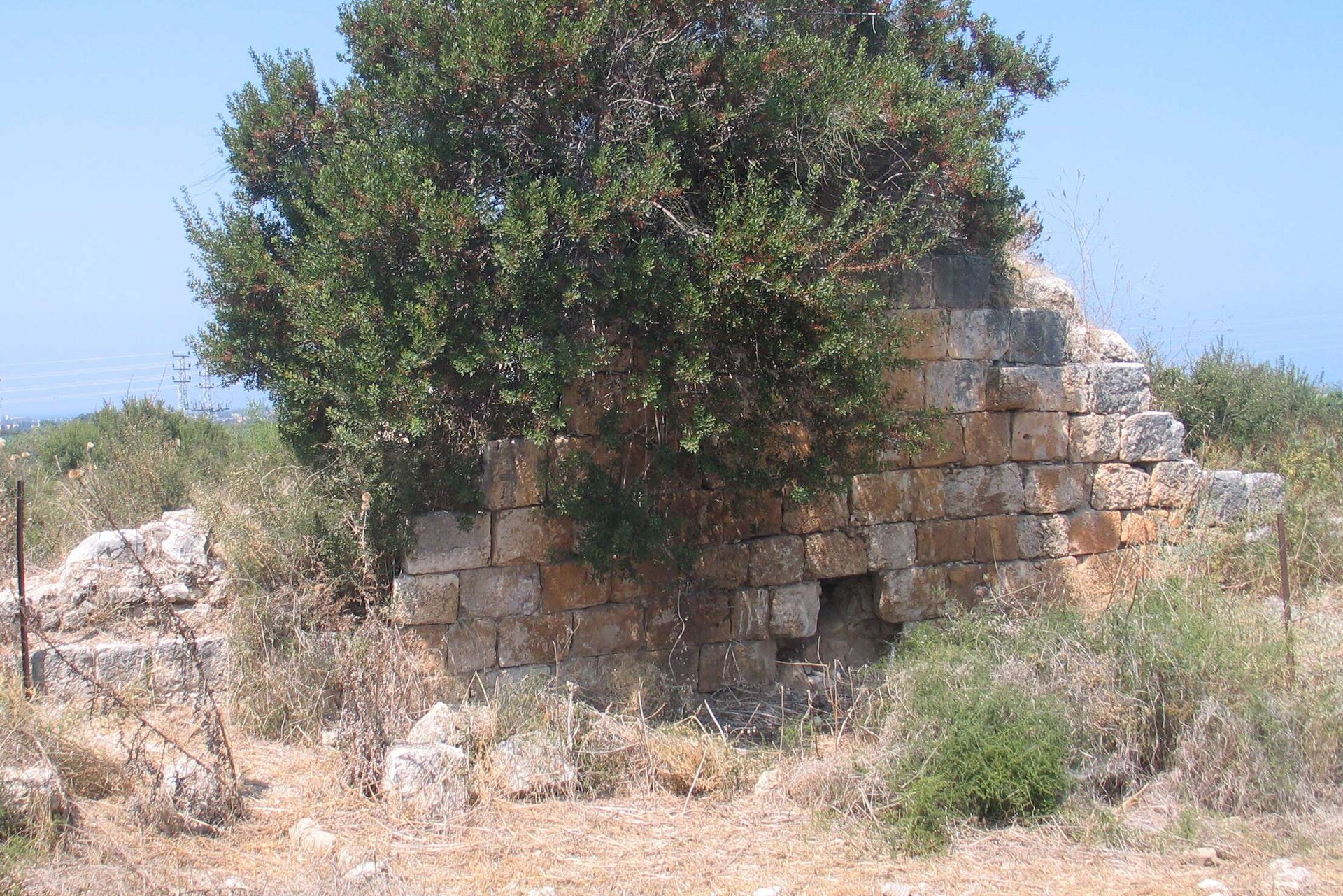
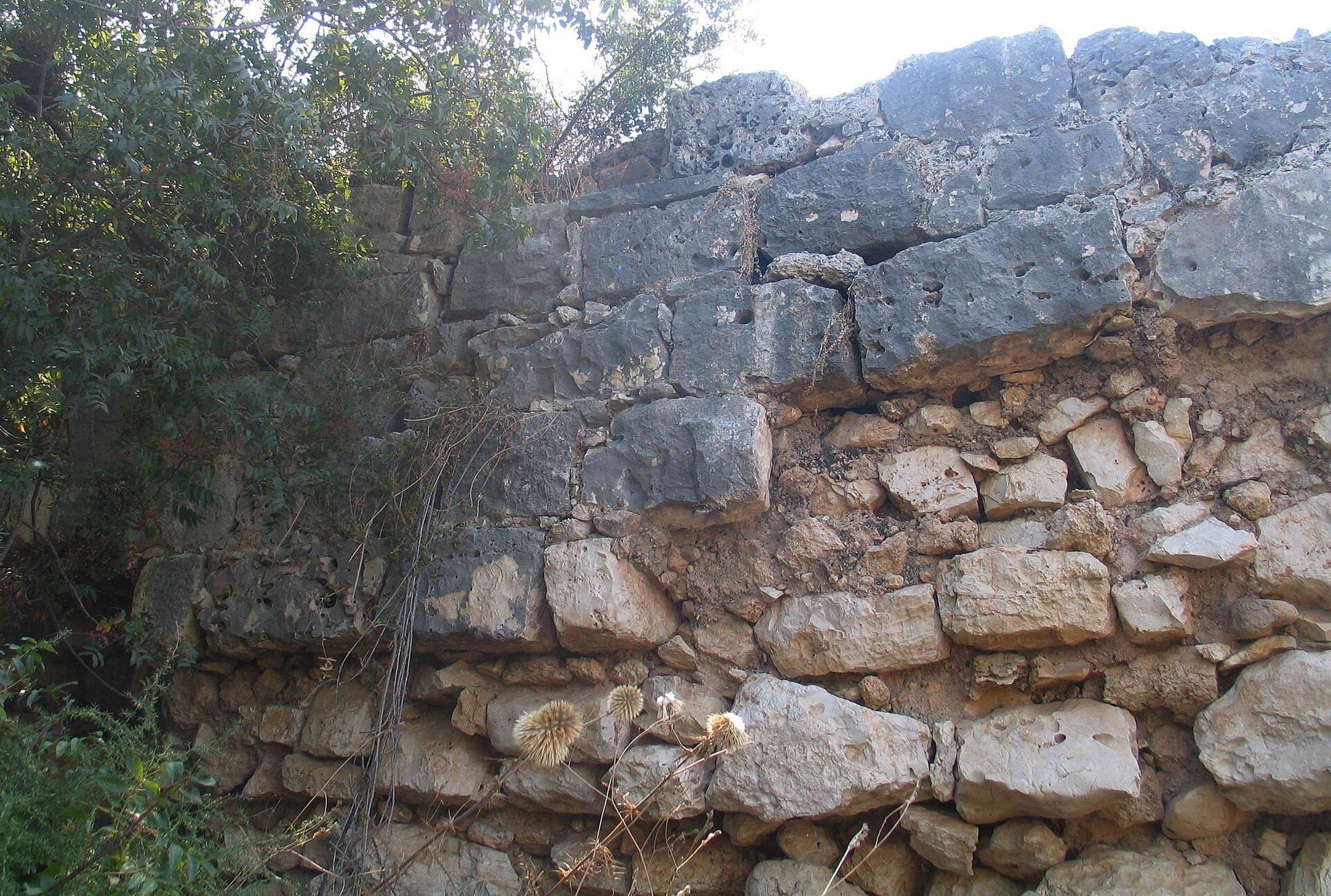
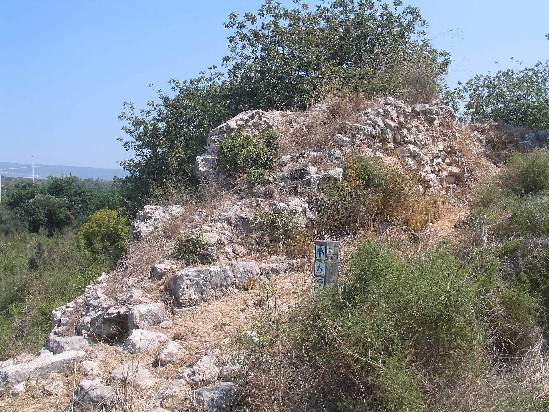
Hurvat Manot occupies a small hill about 91 metres above sea level on the southern bank of Nahal Kziv, where the stream leaves the Galilee hills and descends toward the coastal plain. The site lies east of Highway 70 near Nahariya, within natural woodland. Its fortified walls survive to heights of approximately seven metres. Landslides and alluvial deposits have raised the present ground level by about three metres above the original surface, burying parts of the complex.
The sugar-production complex
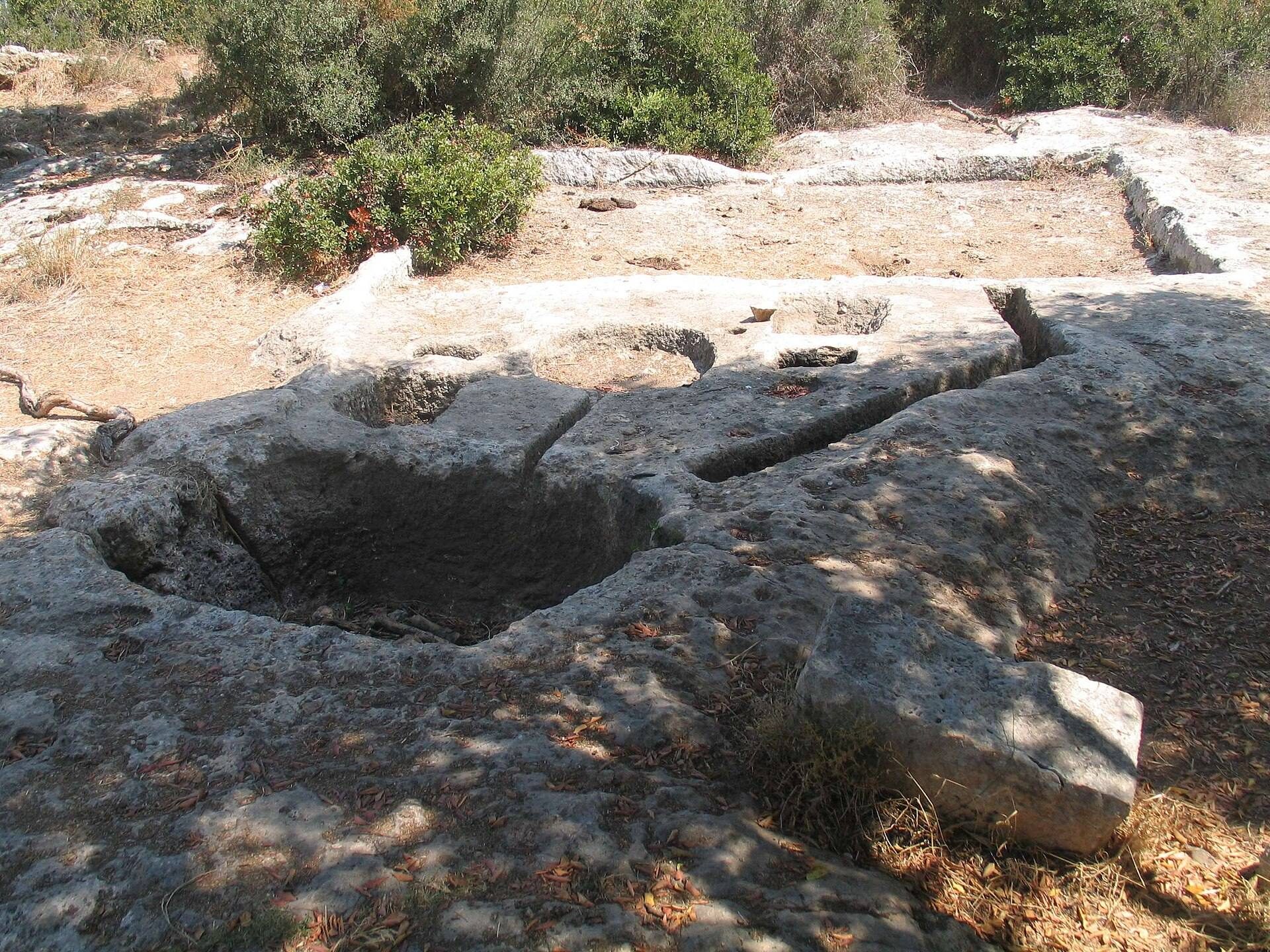
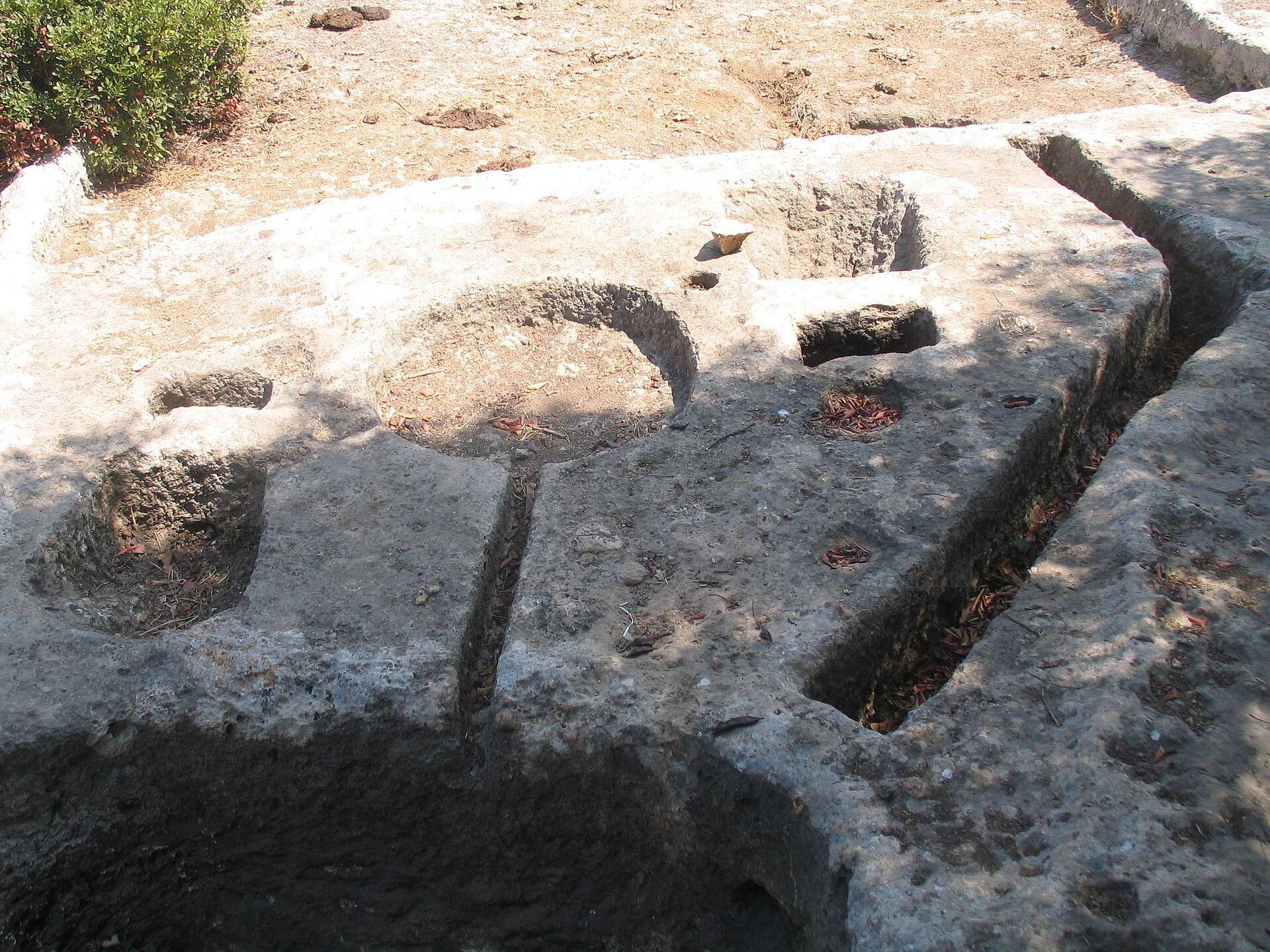
The surviving installations preserve the principal stages of the sugar-making process. An aqueduct conveyed water from Nahal Kziv to the farm. The flowing water turned a paddle wheel, generating the mechanical power needed to operate millstones that crushed sugar cane into pulp.
Refining hall
The main refining hall measures approximately 35 by 8 metres and has a vaulted roof. Workers boiled sugar-cane juice in large vessels inside the hall, while openings in the northern wall allowed fuel to be fed to the fires. After boiling, the cooked liquid was poured into pottery vessels, where the sugar crystallized. These vessels were used to export the sugar to Europe.
Additional halls and subterranean structure
Another hall survives north of the refining hall, while a subterranean vaulted structure lies to its south. Together with the water installation, millstones, refining space, and pottery vessels, these remains preserve the physical organization of the medieval farm’s industrial process.