Tel Jezreel: An Iron Age Fortress and Royal Residence in Israel
Site at a Glance
- Rating
- 4.6
- Popularity
- Very Low
- Country
- Israel
- Primary era
- Iron Age
- Eras represented
- Iron Age, Medieval
- Civilizations
- Crusader, Israelite, Mamluk
- Site type
- Military
- Remains
- Fort
On this page14 sections
History
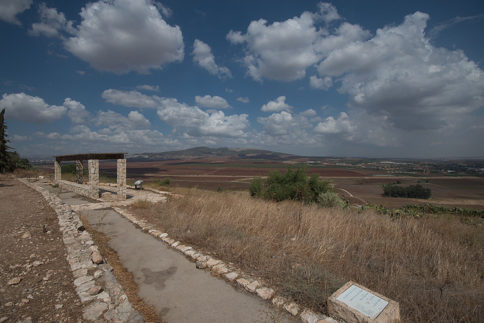
Tel Jezreel is an ancient settlement mound in northern Israel whose principal fortress phase belonged to the Iron Age and the ninth century BCE. The site was developed by the Northern Kingdom of Israel near the Via Maris, the major ancient route linking Egypt with the Levant and routes toward Syria and Mesopotamia. Its position also connected it with Megiddo, Legio, and Beth Shean, giving Jezreel a strategic place in the eastern Jezreel Valley.
Early settlement and the Iron Age fortress
The earliest archaeological material at Jezreel belongs to the Wadi Raba culture of the fifth millennium BCE. The site continued as an unfortified settlement through the Bronze Age. In the ninth century BCE, it became a principal fortress and royal residence of the Northern Kingdom of Israel, the Israelite kingdom formed after the division of the earlier united monarchy. Construction may have begun under King Omri, but the fortress was certainly active during the reigns of King Ahab, Queen Jezebel, and their son King Jehoram.
Jezreel served alongside Samaria, the kingdom’s capital, as a royal center under Ahab and his successors. Its strategic location, water supply, and grazing lands have led archaeologists David Ussishkin and John Woodhead to propose that it supported Ahab’s chariot corps and cavalry. A large installation near the ancient enclosure has also been interpreted as a possible residence for visiting Israelite kings, although that function remains uncertain.
The fortress was destroyed soon afterward, possibly by the Arameans in the late ninth century BCE. Pottery recovered from the fortress belongs to this brief period of occupation, indicating that its main Iron Age use was relatively short.
Jezreel in biblical tradition
Biblical tradition identifies Jezreel as the hometown of Ahinoam, David’s second wife. The First Book of Kings places Ahab’s palace beside Naboth’s vineyard at Jezreel while continuing to identify Samaria as his capital. Biblical narratives also associate the settlement with Elijah’s return from Mount Carmel, the killing of Jezebel after Jehu killed Jehoram, and Jehu’s execution of seventy descendants of Ahab. Their heads were sent to Jezreel and placed in two heaps at the city gate.
The Book of Hosea uses Jezreel as a symbol of the massacre associated with Jehu and of the threatened end of the kingdom of Israel. It also refers to the valley of Jezreel and to grain, wine, and oil connected with the place.
Byzantine, Crusader, and Islamic periods
After the Iron Age, the site was occupied by a Byzantine village, followed by a Crusader-period settlement belonging to the Knights Templar, a Latin Christian military order active in the Crusader states. A later Islamic-period village developed under the name Zir’in, which derived from Jezreel. In 333 CE, the Bordeaux Pilgrim used the Latinized name Stradela, derived from the Greek form Esdráēla. The fourth-century pilgrim Egeria stated that people still threw stones at Jezebel’s tomb.
Benjamin of Tudela visited in 1165 and noted a Jewish dyer. During the fighting at Al-Fule in the 1180s, Saladin sent raiders against the Crusader-held village. His Ayyubid forces, belonging to the dynasty founded by Saladin, passed through it in 1184 while traveling toward Nablus.
After the Mamluks, the military ruling dynasty that controlled Egypt and much of the Levant, took the region in the late thirteenth century, Sultan Qutuz and his leading commander Baibars defeated Mongol forces at Ain Jalut in 1260. The village mosque was later renovated, and Zir’in became a station on the postal route between Jenin and Irbid.
Ottoman rule and the modern village
Zir’in became part of the Ottoman Empire in 1517. In 1596 it belonged to the Jenin subdistrict of Sanjak Lajjun and contained four Muslim households, which paid taxes on wheat, barley, beehives, and goats. During the seventeenth and eighteenth centuries, the village was probably controlled by the Turabay Bedouin family, which governed part of northern Palestine for the Ottoman authorities.
Nineteenth-century descriptions counted about twenty houses in 1838 and about thirty in 1882. The Ottoman government established a boys’ school, and a spring supplied the village with water. In the early twentieth century, Zir’in was the birthplace of Mahmud Salim, a leader of the 1936–1939 Palestinian revolt. The village had 727 inhabitants in 1922, including 723 Muslims and four Orthodox Christians, and 978 inhabitants in 1931, living in 239 occupied houses. By 1945, its population was 1,420, all Muslim.
During the 1948 war, Zir’in was held by the Arab Liberation Army and served as a strategic position overlooking Afula and Beth Shean. Haganah attacks began in March. The village was briefly captured on 19 April, when most houses were destroyed and the remaining buildings were used to house Jewish troops. After mortar fire, the Golani Brigade’s Thirteenth Battalion captured Zir’in on 28 May. The Arab Liberation Army and the Iraqi army made unsuccessful attempts to retake it in May and July, and the final armistice line ran south of the village.
After the war, the area became part of the State of Israel. Kibbutz Yizre’el was founded northwest of Zir’in in August 1948. Ancient structures were accidentally exposed by a bulldozer in 1987, leading to a salvage excavation, a rapid investigation carried out when earthmoving threatens buried remains. David Ussishkin and John Woodhead then directed seven major excavation seasons from 1990 to 1996, with staff and volunteers from about twenty-five countries. Renewed work began in 2012 under Norma Franklin of the University of Haifa’s Zinman Institute of Archaeology and Jennie Ebeling of the University of Evansville, focusing on the Iron Age fortress, associated installations, and possible winery remains.
Remains
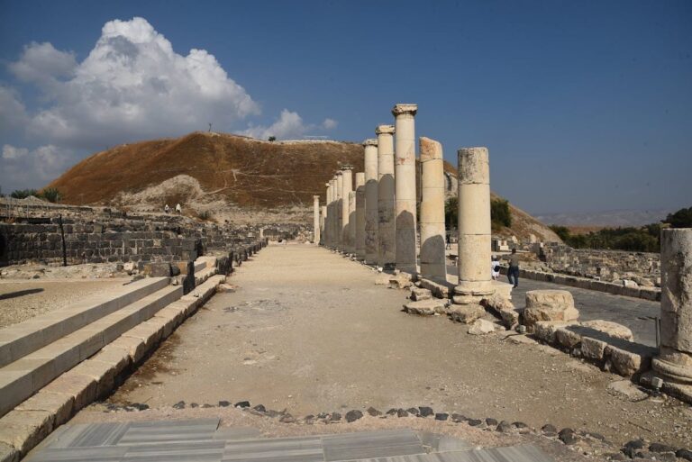
Tel Jezreel is a tell, a mound formed by successive settlement layers. The site commands views toward the north and east, while its position relates physically to the route through Megiddo, the Jezreel Valley, and Beth Shean. The Iron Age fortress enclosed almost 45,000 square metres and measured approximately 860 feet from end to end and 470 feet across. Excavated remains include defensive walls, towers, water installations, medieval buildings, a village tower house, and a rock-cut installation associated with wine production.
Iron Age fortress and installations
Defensive enclosure
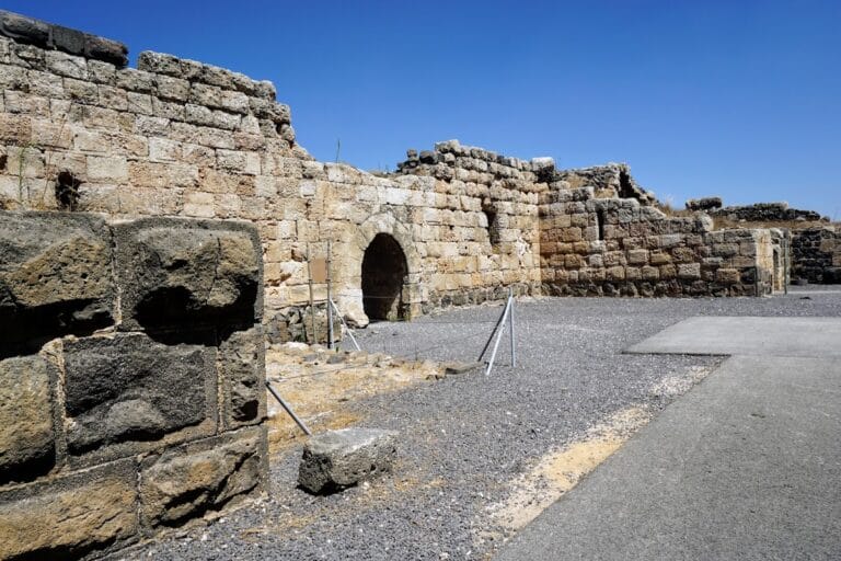
The fortress was enclosed by a casemate wall, a defensive wall strengthened by internal compartments or parallel wall lines, and four projecting towers. Its construction used well-cut ashlar blocks, boulders, and smaller stones, while the upper level was made of mud brick. A steep slope protected the northern side. On the other three sides, a defensive ditch about 20 feet deep worked with a rampart to strengthen the perimeter.
Water supply
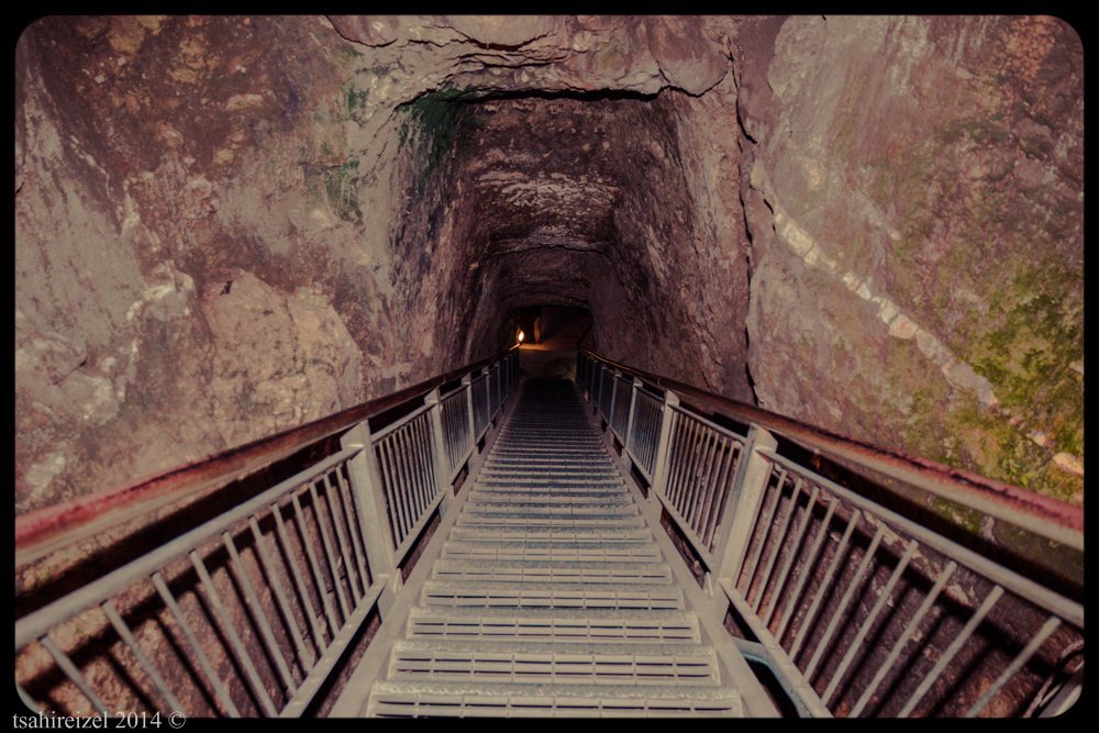
Water was available from cisterns inside the fortress and from the spring of En Jezreel northeast of the enclosure. This supply formed part of the physical infrastructure that supported the fortified settlement and its short ninth-century BCE occupation.
Possible winery
Near the foot of the Jezreel hill, excavations uncovered a possible vineyard and winery. Soil analysis identified land at Jezreel suitable for growing grapes, while fields farther west had soil suitable for olives. The archaeological evidence does not establish the historical truth of the biblical story about Naboth’s vineyard.
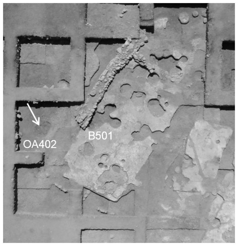
The winery installation was cut into limestone bedrock. It contains rock-cut treading floors, two adjoining vats more than one metre deep, and another treading floor connected to a vat by a channel cut into the rock. A deep circular basin may have served as an additional vat, while a sump collected liquids.
Medieval and later village remains
Medieval fortified complex
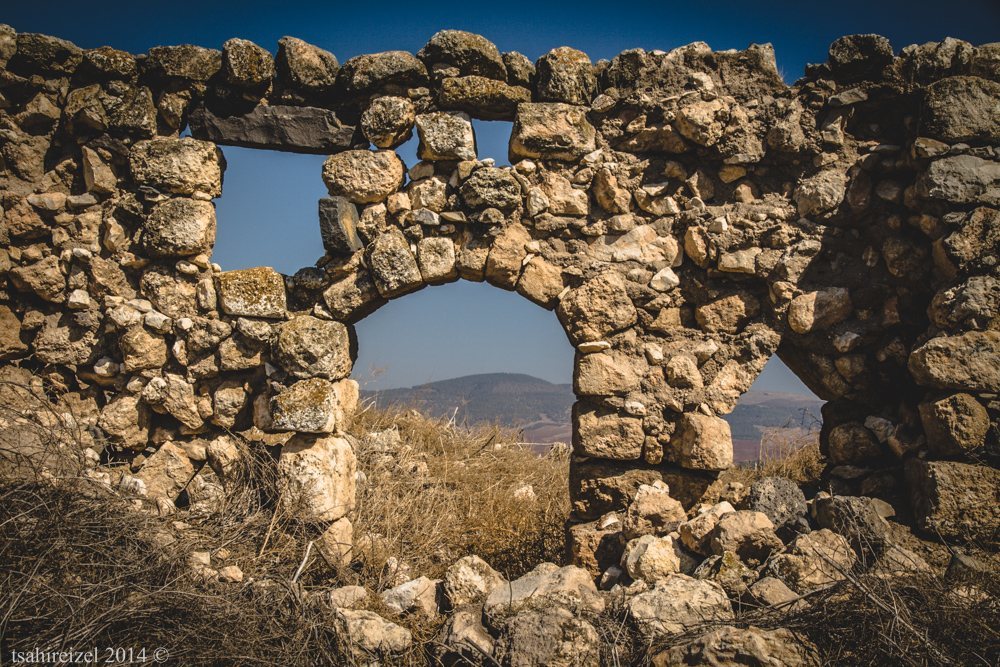
The site contains the remains of a medieval fortified complex, including a vaulted building and related structures. Denys Pringle considered the vaults part of a destroyed Crusader castle. Petersen regarded a Mamluk date as equally possible and observed that the building appears to have developed over a long period.
Crusader church
Another description of the medieval remains identifies a largely intact Crusader church. Its survival forms part of the later architectural record of the settlement, alongside the vaulted structures associated with the medieval fortified complex.
Tower house of Zir’in
The tower house of Zir’in stood in the center of the later village. Nineteenth-century descriptions called it a castle and a manzil, a roadside lodging or stopping place for travelers. In 1882 it was described as the residence of a prominent local family.