Tell Qasile: A Philistine Port City in Tel Aviv-Yafo
Site at a Glance
- Rating
- 4.4
- Popularity
- Very Low
- Country
- Israel
- Primary era
- Iron Age
- Eras represented
- Iron Age, Classical, Medieval
- Civilizations
- Achaemenid, Byzantine, Israelite, Philistine, Roman
- Site type
- City
On this page15 sections
History
Tell Qasile is an archaeological tell in Tel Aviv-Yafo, Israel, where the Philistines established a port city around 1150 BC during the Iron Age. The mound stands on a coastal sandstone ridge near the mouth of the Yarkon River, close to an inland harbor linked with the Mediterranean. Its twelve archaeological layers preserve the development of the main Philistine settlement, later Israelite, Judean, Persian, Hellenistic, Roman, Byzantine, and early Islamic occupations, as well as evidence for activity during the First World War.
Before and during the Philistine settlement
A temporary settlement existed at Tell Qasile during Middle Bronze Age IIA, represented by a small quantity of pottery. Permanent occupation began when Philistine settlers arrived in the twelfth century BC, around the time that the earlier Canaanite center at nearby Tell Gerisa declined. The new city was established by approximately 1150 BC and developed through Strata XII, XI, and X, a sequence of archaeological layers representing successive phases of construction, occupation, and destruction.
The city probably owed its position to the protected harbor near the Yarkon estuary. Its economy combined maritime trade with Phoenicia, Cyprus, and Egypt and local agriculture. The population included Philistine settlers and Canaanite inhabitants, apparently governed by a Philistine elite. Objects and buildings from the settlement combine Aegean influences associated with the Philistines and local Canaanite traditions. The city probably came under the authority of Ashdod.
Occupation expanded through the eleventh century BC and reached its peak in Stratum X during the second half of that century. The city was destroyed by fire around 980 BC. This event is often connected with David, the biblical Israelite king, although another historical reconstruction places the destruction of a rebuilt Israelite settlement at the end of the tenth century BC, possibly during the campaign of Shoshenq I, the first pharaoh of Egypt’s Twenty-second Dynasty.
Israelite, Judean, and Persian-period occupation
After the destruction of the Philistine city, Israelites rebuilt part of the settlement and continued to use the harbor. A public building from this phase may have functioned as a regional administrative center. The settlement was abandoned at the end of the tenth century BC, possibly as a result of Shoshenq I’s campaign.
A new settlement appeared at the end of the seventh century BC, probably established by Judeans during the reign of King Josiah. It was short-lived and may have consisted of a fortress or administrative center. After the destruction of the First Temple, occupation was concentrated on the summit. The surrounding urban area was later rebuilt in the Persian period, when a substantial building stood beside a square well cut twelve metres into the bedrock. Imported Greek pottery points to renewed international trade.
A coin of Alexander the Great and remains from the Hellenistic and Roman periods show that the site continued to participate in wider regional networks. During the Roman period, a commercial center operated at Tell Qasile. In the Byzantine period, a sparse rural settlement surrounded the mound. A bathhouse stood on the tell, and a Samaritan synagogue of the sixth century was built to its northeast.
Medieval and modern history
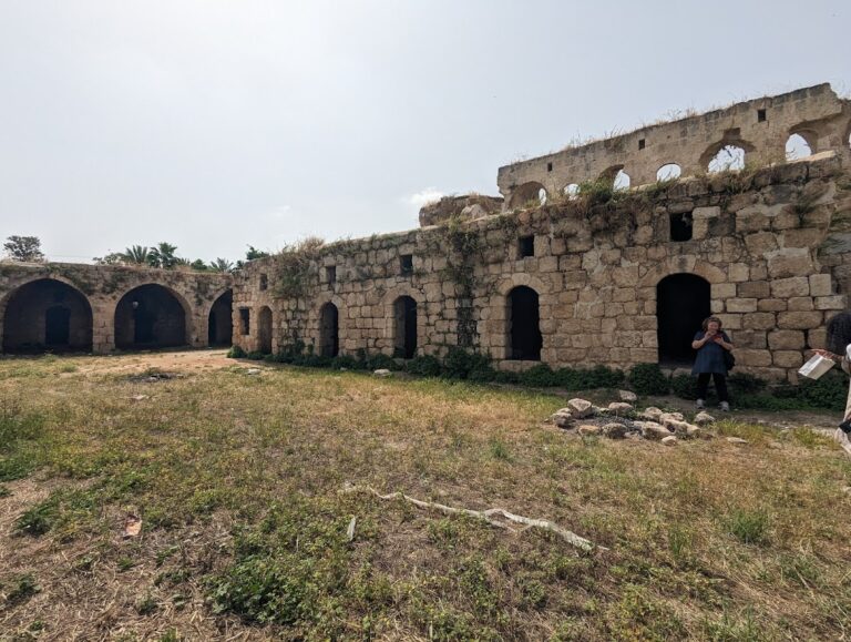
During the early Islamic period, a khan, or caravanserai, was built at the site. A caravanserai was a roadside lodging and service complex for travelers, merchants, and caravans. Later occupation included Umayyad, Abbasid, and possibly Crusader phases. The tell was not permanently inhabited after the medieval period.
During the First World War, Ottoman forces incorporated the western side of the mound into the Two Auja Line, a defensive position in the Yarkon sector, and dug trenches there against the Egyptian Expeditionary Force. British shell fragments were later found on the tell.
Two Hebrew ostraca, potsherds bearing brief written records, were found on the surface in 1945 and 1946 by Jacob Kaplan and Robert Hoff. One records the dispatch of thirty shekels of Ophir gold to Beth-Horon. The other records the dispatch of 1,100 units of oil to a king and preserves only part of the sender’s name. Both are probably from the late seventh century BC.
Benjamin Mazar began excavating Tell Qasile in October 1948. His Hebrew University expedition worked on behalf of the Israel Exploration Society and the Tel Aviv Museum, with further seasons in 1949 and 1950. Mazar also received the first excavation permit issued in the newly founded State of Israel. A Byzantine grave discovered near the tell in 1955 prompted additional investigation, and Jacob Kaplan excavated two Hasmonean rock-cut tomb complexes nearby in 1957. Another excavation season followed in 1959.
Amihai Mazar directed major campaigns from 1971 to 1974 and again from 1982 into the early 1990s. These excavations exposed the Philistine temple district and clarified the settlement’s gradual development from Stratum XII to its peak in Stratum X. The excavated area was opened to the public in April 1952 with a temporary display of finds. In 1955, the Tel Aviv Museum’s antiquities display moved to an old Arab house at the site, where several buildings were reconstructed. The remains later became part of the Eretz Israel Museum, established beside the tell in the 1950s.
Changing interpretations of the site
The ancient name of the settlement remains unknown. Early investigations proposed that Tell Qasile was “Glil Yam,” mentioned in an inscription of Tiglath-Pileser III, an Assyrian king of the eighth century BC. Another proposal identified it with the “Waters of the Yarkon” mentioned in the Book of Joshua, treating that expression as the name of a city rather than a river. A further identification connected the site with Beth-Haran on the basis of the Ophir-gold ostracon.
Interpretations also changed as excavation revealed the temple district. Earlier research regarded Tell Qasile under Solomon as an Israelite city that might have served as the harbor for cedar transported from Tyre for construction of the First Temple. The discovery of the Philistine temple in the early 1970s shifted the prevailing interpretation toward a Philistine city during its main early history.
Remains
Settlement and harbor
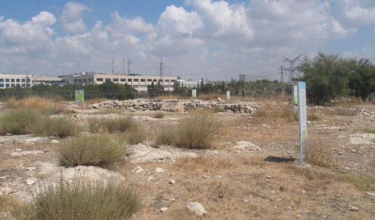
The tell covers approximately 100 dunams and rises about forty metres above sea level. The Philistine city was enclosed by a stone wall and divided into residential, industrial, and public districts. Its main settlement lay on the western slope facing the sea, with a dense central area around the cult buildings and more open residential space around it. The harbor was established on the Yarkon near the tell. The ancient river channel probably ran somewhat north of its present course, near the line of modern Rokach Boulevard, placing the harbor close to the settlement and sheltered from the Mediterranean coast.
Philistine temple district
The principal cult area preserves three successive temples, corresponding to Strata XII, XI, and X. Each building was constructed over and enlarged its predecessor, a sequence that probably reflects the growth of the population. The temple court was later redesigned and enclosed by a defensive stone wall. It contained an altar, supporting structures, and a further area for offerings. A kitchen and a building probably used for priests’ accommodation stood elsewhere in the complex.
Earliest temple
The earliest temple belongs to Stratum XII and dates to about 1150 BC. It was an almost square mud-brick building measuring approximately 6.6 by 6.4 metres. Its walls were coated with light-colored plaster. A raised platform stood near the entrance, while a large open court on the eastern side provided space for ritual activity.
Second temple
The Stratum XI temple was slightly larger, measuring approximately 8.5 by 7.7 metres, with walls about one metre thick. Benches ran along the interior walls, and a separate area held votive offerings, objects deposited for a deity or as part of a religious dedication. The building had a gently curved plan rather than a strictly rectangular outline.
Largest temple
The largest temple belongs to Stratum X and measures approximately 14.5 by 8 metres. It enclosed the earlier building, and its roof was supported by two cedar-wood columns set on round stone bases. Benches lined the walls. In the central hall, a platform about ninety centimetres high was approached by steps on both sides. A western storeroom held cult treasures, and a raised platform stood at its entrance.
Secondary temple and public building
A smaller temple stood west of the principal one and followed similar planning principles. It may have been dedicated to a secondary deity or served as a private place of worship for the city’s ruler, although its exact purpose remains uncertain. Near the earliest temple, a large public building probably served an administrative function. Its central hall had benches along both walls and a large hearth raised about forty centimetres above the floor beside a small ceramic-paved area. The building continued in use during the next temple phase.
Cult deposits and objects
A pit in the temple area contained approximately one hundred pottery vessels and other cult objects. Among them was a woman-shaped vessel with openings at both breasts, possibly intended for pouring milk and representing a fertility goddess. The vessel is displayed in the museum. Other finds include a plaque showing two goddesses, goddess figurines, a lion-shaped cup, numerous offering vessels, and iron objects including a knife. The material combines Philistine and Canaanite religious features, while the iron objects have parallels in Cyprus and southern Greece.
Residential and working quarters
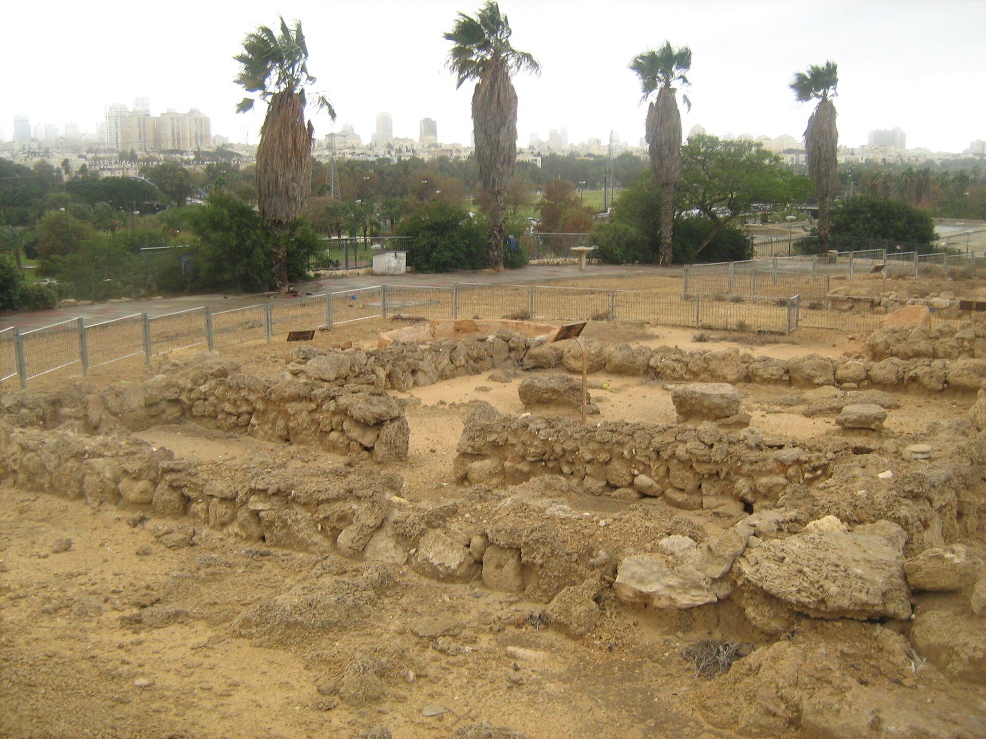
The residential quarter extended south of the temples. Its streets followed a regular grid, with houses arranged in blocks. During the eleventh century BC, houses generally used a four-room plan, with two rooms and a courtyard divided into covered and open sections. Individual houses occupied approximately ninety to one hundred square metres.
The earliest houses in this quarter were lightly built from mud brick directly on the sandstone substrate. In Stratum XI, builders added mud-brick houses on stone foundations. By Stratum X, the neighborhood had become densely built along long, straight streets. A reconstructed residence displays the characteristic arrangement of two rooms separated by a courtyard with covered and open areas.
A large eleventh-century storage building contained a rectangular room with two rows of pillars. It is among the earliest known examples of this type of storehouse. Workshops and storage areas occupied other parts of the settlement, including a bronze-casting workshop. Finds from the residential quarter include jars for oil and wine, seals, bronze tools, and additional domestic and cult objects.
Later religious and commercial remains
Two Roman-period winepresses remain in place east of the tell. A Byzantine bathhouse stood on the mound, while a sixth-century Samaritan synagogue occupied an area to its northeast. Approximately one-third of the synagogue’s mosaic floor survives. Its geometric designs are accompanied by three inscriptions, one in Samaritan and two in Greek. Two inscriptions name donors, while the third expresses a blessing for Israel and the place.
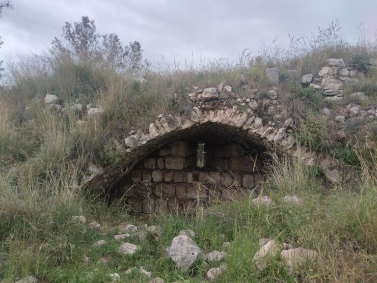
The early Islamic caravanserai was a large courtyard building probably constructed between the ninth and eleventh centuries. The excavated portion suggests a square plan measuring about twenty-eight metres on each side, while much of the remainder is visible mainly through robber trenches. A paved entrance at the center of the northern wall opened into a gravel-paved courtyard. Arcades supported by columns ran along the eastern and western sides, a staircase occupied the northwest corner, and several small rooms opened onto the courtyard. Its form and position near a river crossing indicate a function as a caravanserai.
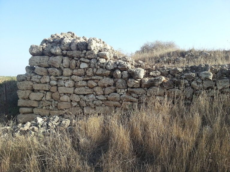
The archaeological remains include Middle Bronze Age pottery, Philistine domestic and cult assemblages, Hebrew ostraca, Persian-period and later structures, Hellenistic and Roman remains, Byzantine installations, and early Islamic architecture. Together, these remains preserve the changing layout and uses of a settlement whose archaeological condition is generally ruined.