Khirbet Qana: A Hellenistic to Early Arab Rural Settlement in Israel
Site at a Glance
- Rating
- 4.5
- Popularity
- Very Low
- Country
- Israel
- Primary era
- Medieval
- Eras represented
- Classical, Medieval
- Civilizations
- Byzantine, Crusader, Roman
- Site type
- Domestic
- Remains
- House
On this page13 sections
History
Khirbet Qana is an archaeological site on a hill in Lower Galilee, Israel, occupied from the Hellenistic period through the Early Arab period. It was a small but densely populated rural settlement whose economy relied chiefly on agriculture. The Hellenistic period followed the conquests of Alexander the Great and brought Greek political and cultural influence to the eastern Mediterranean, while the later Roman period brought Roman rule to the region.
Hellenistic and Roman settlement
The community appears to have been predominantly Jewish during its earlier Hellenistic and Roman phases. Hasmonean coins point to the influence of the Jewish dynasty that ruled Judea and parts of the surrounding region during the second and first centuries BC. No building from the Hasmonean period has been identified, but the coins and other finds indicate activity at the site. A Jewish synagogue, later enlarged, shows that the settlement maintained an organized Jewish religious community.
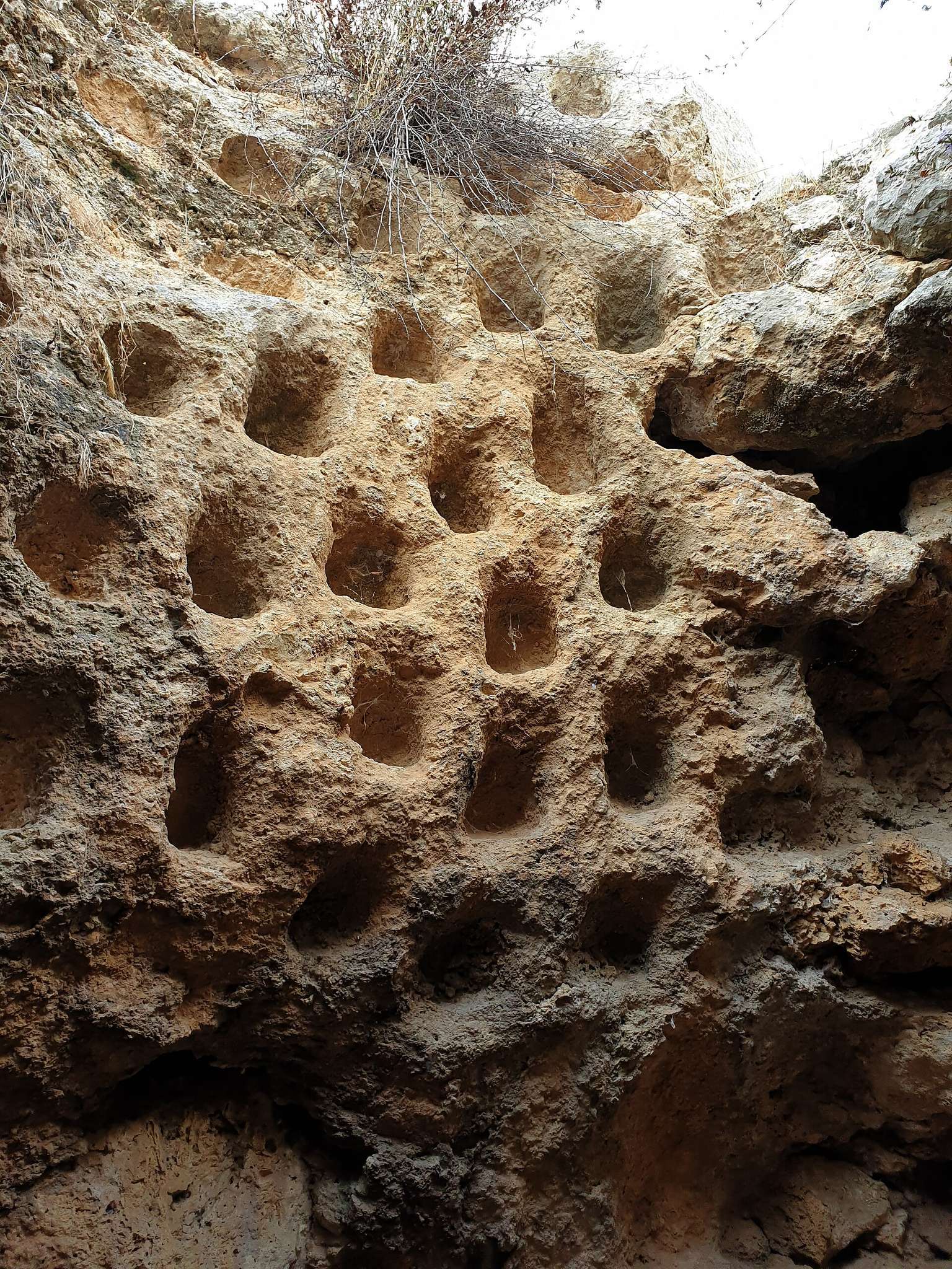
Trade at Khirbet Qana was mainly local or regional. Pottery came from nearby settlements including Shikhin and Kefar Hananya, while cultivated fields west of the site and later agricultural tax records show the continuing importance of farming. Industrial activity also supported the settlement, with installations for raising doves, pressing olives, dyeing textiles, and making glass.
Byzantine expansion and religious change
A shortage of coins from the late fourth and early fifth centuries may reflect a period of demographic decline. The settlement expanded again during the Late Byzantine period, approximately from the fifth to the seventh centuries. The Byzantine period refers to the eastern Roman Empire and its territories after the late Roman era. During this later phase, a Christian worship complex was established alongside the earlier Jewish religious presence, indicating that the site served Christian as well as Jewish communities at different times.
The latest coin from Khirbet Qana dates to AD 613. The settlement was probably abandoned during the first half of the seventh century, amid the Persian invasion and reconquest of Galilee in AD 614 and 628 and before the Arab conquest in AD 639. The elevated upper part of the settlement, or acropolis, was probably occupied again from the late seventh into the early eighth century for several decades. Arab-period pottery and repairs to a public building support this later phase of use.
Cana traditions and later interpretation
Khirbet Qana is one of several proposed locations for biblical Cana, the place associated in the New Testament with the Wedding at Cana, where Jesus transforms water into wine. Medieval maps, the writings of Burchard of Mount Sion, and pilgrimage accounts including that of the English merchant Saewulf in the twelfth century connected the site with Cana. Christian pilgrims visited during the Crusader period, when the veneration cave was renovated, although it remains uncertain whether Christians resettled the town at that time.
In the seventeenth century, the Franciscan writer Francesco Quaresmio favored Kafr Kanna because it had a church, while Khirbet Qana did not. The principal road between Sepphoris and Tiberias also passed through Kafr Kanna, which may have influenced the change in identification. The historical geographer Samuel Klein later associated Kafr Kanna with Cana and interpreted Khirbet Qana as Kefar ’Aris, a settlement linked with the name Garis in the Jewish historian Flavius Josephus’s account of the Jewish revolt against Rome. More recent scholarship has again regarded Khirbet Qana as a strong or likely candidate for biblical Cana, but the identification remains uncertain.
Remains
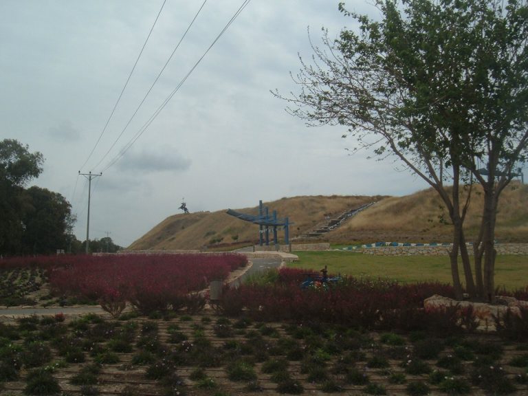
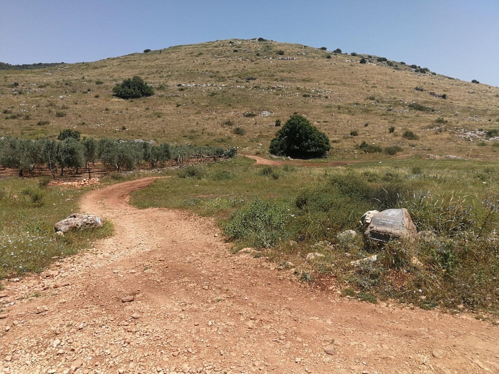
Khirbet Qana occupies a hill about 100 metres high on the northern side of the Beit Netofa Valley. The unwalled settlement extended across the slopes and summit, with different house forms reflecting the terrain. Steeper eastern and western slopes held terraced houses, the flatter northern area contained side-courtyard houses, and larger central-courtyard houses occupied the level summit.
Settlement buildings and water management
Houses and cisterns
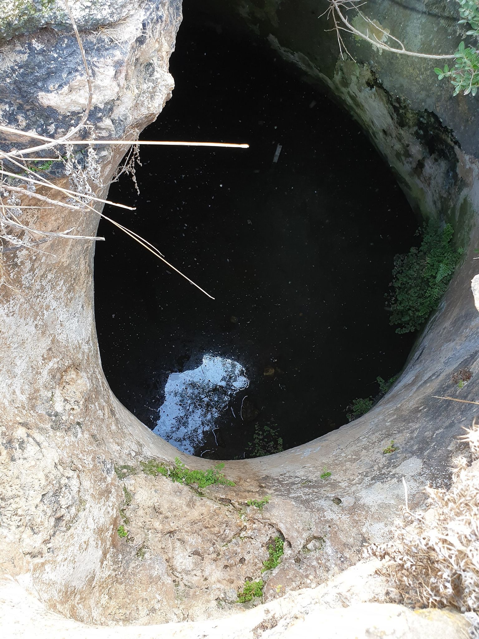
The houses were arranged in terraces, beside side courtyards, or around central courtyards. More than 60 water-storage cisterns have been identified across the excavated area, forming an important part of the settlement’s infrastructure. The houses and cisterns together reflect the dense occupation of a hill settlement whose agricultural economy depended on managing water and using the available slopes and level ground.
Industrial installations
Industrial buildings stood on the settlement’s outskirts. Their installations included facilities for raising doves, olive presses, textile dyeing, and glassmaking. These structures show that craft and processing activities accompanied farming and local trade.
Religious and communal buildings
Jewish synagogue
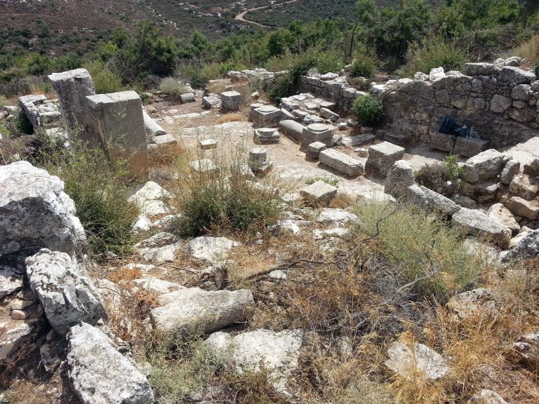
The Jewish synagogue dates to the first century or the beginning of the second century. It received later additions, including a bema, a raised platform or designated elevated area, dating to the sixth century. The building therefore preserves several stages in the history of Jewish communal worship at the site.
Christian worship complex and veneration cave
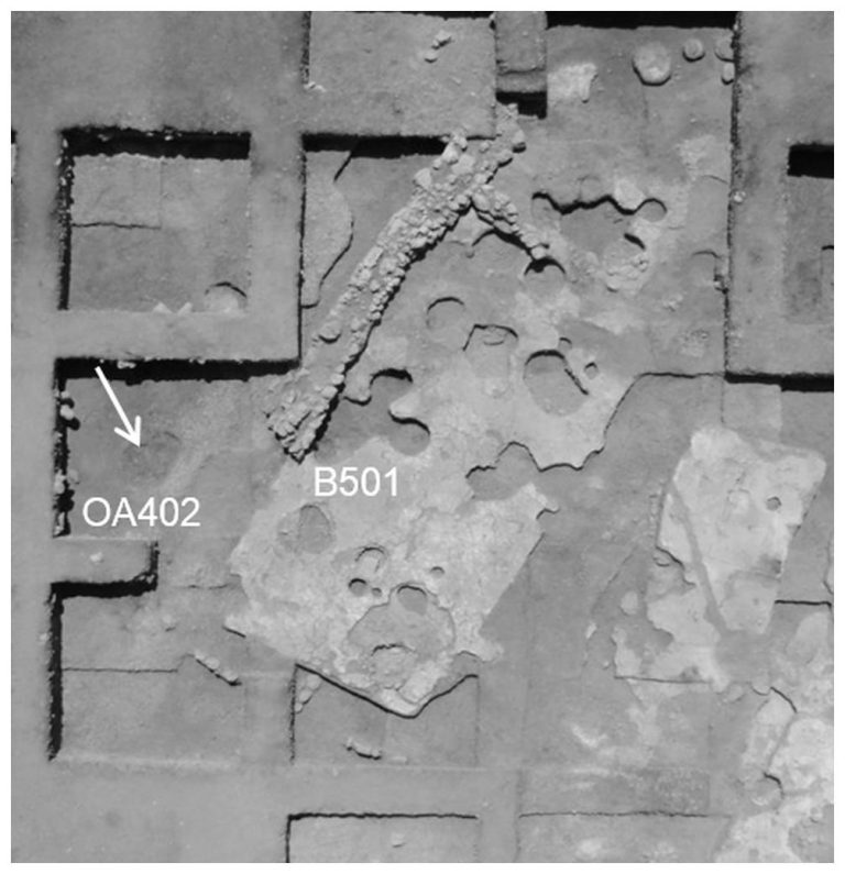
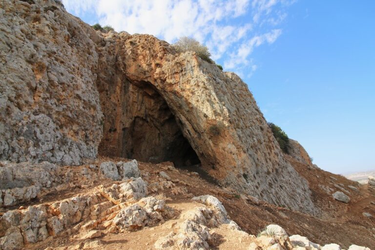
A later Byzantine complex may have served as the Christian veneration cave. The cave consists of four connected chambers. The principal chamber has plastered walls and a plaster floor, with benches running along the walls. Graffiti and inscriptions include Christian examples. On the northern side, a possible altar was formed partly from a sarcophagus lid carrying at least one cross. Two stone vessels were plastered onto the lid. One remains in place, while the second is represented by its impression in the plaster.
The principal cave was extensively renovated during the Crusader period. Carbon analysis places this work approximately between AD 1024 and 1217. A bench was added along the western side, and the walls and floor were replastered. This appears to have been the cave’s final major phase of use.
Hilltop monumental building
Excavations on the hilltop uncovered evidence for a monumental building, possibly another synagogue. A fragment of fresco was found there. The structure forms part of the remains associated with the settlement’s elevated central area and its later public or religious functions.
Burials and excavated finds
The site contains numerous tombs as well as coins and pottery fragments. Hasmonean coins make up much of the numismatic material. A fragment of a cooking vessel carries an Aramaic inscription in Jewish script, consisting of three letters and dating to the late first or early second century AD. The fragment may be an ostracon, a pottery piece used for writing, and may represent an abecedarium, a list of alphabet letters used for a scribal exercise or magical formula. It may be the first known example of such a text from a Jewish village in Galilee.