Punic Ports of Carthage: Ancient Commercial and Military Harbours
Site at a Glance
- Rating
- 4.3
- Popularity
- Medium
- Country
- Tunisia
- Primary era
- Classical
- Eras represented
- Classical
- Civilizations
- Carthaginian, Roman
- Site type
- Infrastructure
- Remains
- Harbour
On this page13 sections
History
The Punic ports of Carthage were the ancient commercial and military harbours of Carthage in Tunisia, built and developed by a Phoenician and later Punic city whose power depended heavily on maritime trade and control of the western Mediterranean. The final Punic port complex took shape by the second century BC and consisted of two artificial basins at Salammbô. These installations connected Carthage with overseas commerce, naval warfare, and the political struggles that eventually brought about the city’s destruction.
Foundation and Early Development
According to the most widely accepted date, Carthage was founded in 814 BC as an eastern colony associated with Tyre. Its traditional founder was Dido, the daughter of the king of Tyre and the city’s first queen. The settlement occupied a strategic position between the Phoenician homeland in the eastern Mediterranean and the western Mediterranean, where its influence expanded. Utica, founded around 1100 BC, was an earlier Phoenician colony on the North African coast.
The ports were Carthage’s principal means of communication with the outside world, but the first harbour used during much of the city’s initial five centuries has not been identified with certainty. During the first two centuries, ships may have been hauled ashore at a landing place rather than accommodated in permanent harbour installations. Later construction, land reclamation, and changes to the coastline probably altered the evidence for this early arrangement.
The shoreline changed substantially during antiquity as land was reclaimed and sediments carried by marine currents from the Medjerda, or Bagradas, River accumulated along the coast. The area near the Salammbô tophet, a Punic sacred precinct associated with funerary or votive deposits, was probably unhealthy in the early period. This has influenced proposals for the position of the earliest harbour, which include areas near the Baths of Antoninus, southern Le Kram, an inlet near Sidi Bou Saïd, the shores of Lake Tunis, La Marsa near Megara, and several other inlets and dock areas.
Canals and the Final Punic Harbour
An ancient canal ran for approximately 400 metres and remained in use until it became silted during the fourth century BC. It may have connected with Lake Tunis, whose ancient water level was apparently higher than it is today. A second parallel canal has also been proposed. Shipyards, hangars, warehouses, and temples may have formed an emporium, or commercial quarter, along these installations near the agora and the city’s economic centre. The canal may instead have served mainly for drainage in an area considered particularly difficult for human settlement.
The position of the final ports became clearer through excavations carried out during the international UNESCO campaign that began in the 1970s. American work near the rectangular lagoon and British investigations near the circular lagoon established that the two lagoons at Salammbô formed at least the final Punic port complex. Ceramic material, especially from excavations in the dry docks, dates the lagoons to the second century BC.
The ancient historian Appian, drawing on the lost work of Polybius, described two connected harbours, a commercial port and an inner military port. His account mentions an entrance about 21 metres wide that could be closed by an iron chain, fortifications, a large breakwater, and a spacious outer harbour. The precise relationship between the written description and the surviving archaeological layout remains a subject of interpretation, particularly because the archaeological estimate of dock capacity differs from Appian’s figure.
War and the Destruction of Carthage
The harbours supported Carthage’s military operations in Sicily and served as departure points for campaigns and battles during the First Punic War, the conflict in which Rome and Carthage contested control of the western Mediterranean. Carthage later built its final monumental harbour arrangement at considerable expense while still paying the indemnity imposed by Rome after the Second Punic War. This investment may have intensified Roman hostility. When Carthage completed its payments in 151 BC, Rome demanded that the city abandon its coastal site. The demand was unacceptable to the Carthaginian elite and became one of the factors leading to the Third Punic War.
In 146 BC, during the final Roman assault, the army of Publius Cornelius Scipio Aemilianus attacked from the harbour district. Scipio captured the military port, burned the eastern docks of the commercial harbour, and threatened the agora before the final attack on Byrsa, the fortified citadel and principal hill of Carthage. The port district shared in the destruction of the city and was later reused under Roman rule.
Roman and Late Antique Use
During the Roman period, the Admiralty Islet in the former military harbour was transformed into a public square surrounded by a colonnade. The arrangement is associated with the reign of Commodus and the creation of the classis Commodiana, an imperial fleet established in AD 186. The harbour therefore retained an important place in the life of the Roman city.
The commercial harbour continued to support trade and became important to the provisioning of Rome through the annona, the Roman state system for collecting, transporting, and distributing essential food supplies, especially grain. A major earthquake in AD 306 severely damaged the coastal zone and changed the site’s topography, but port activity continued and appears to have revived gradually. Activity lasted into the Vandal period, including an installation near Kram associated with a prosperous craft industry.
The final destruction of the port installations took place during the conquest of Carthage by Hassan Ibn Numan in AD 698.
Remains
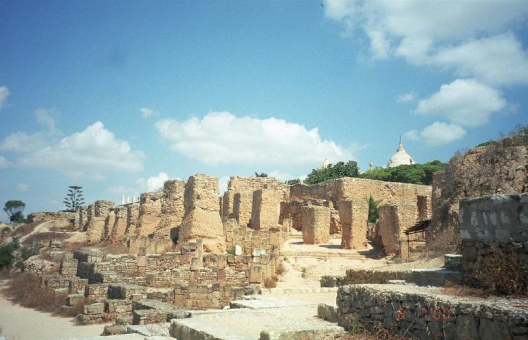
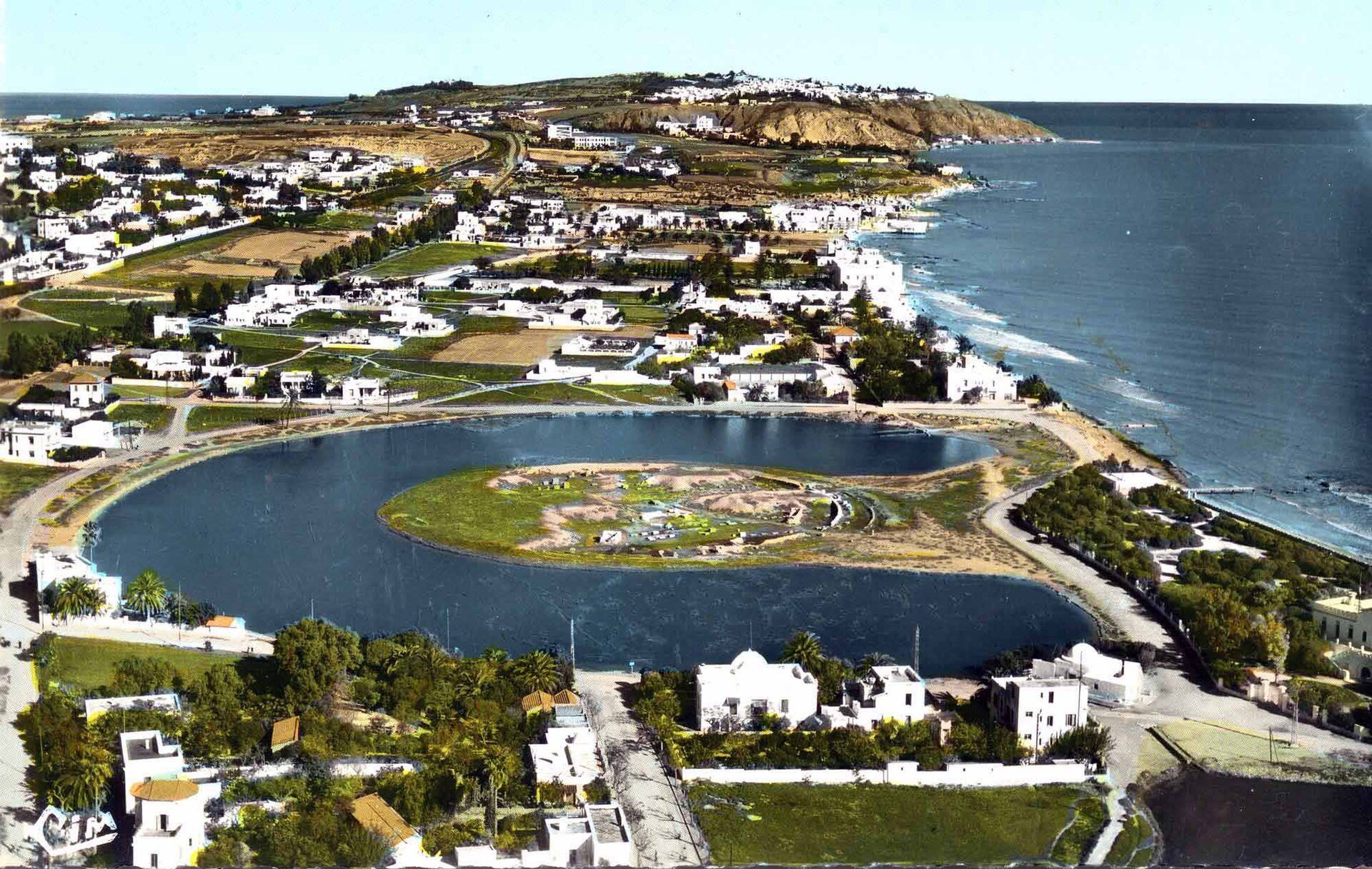
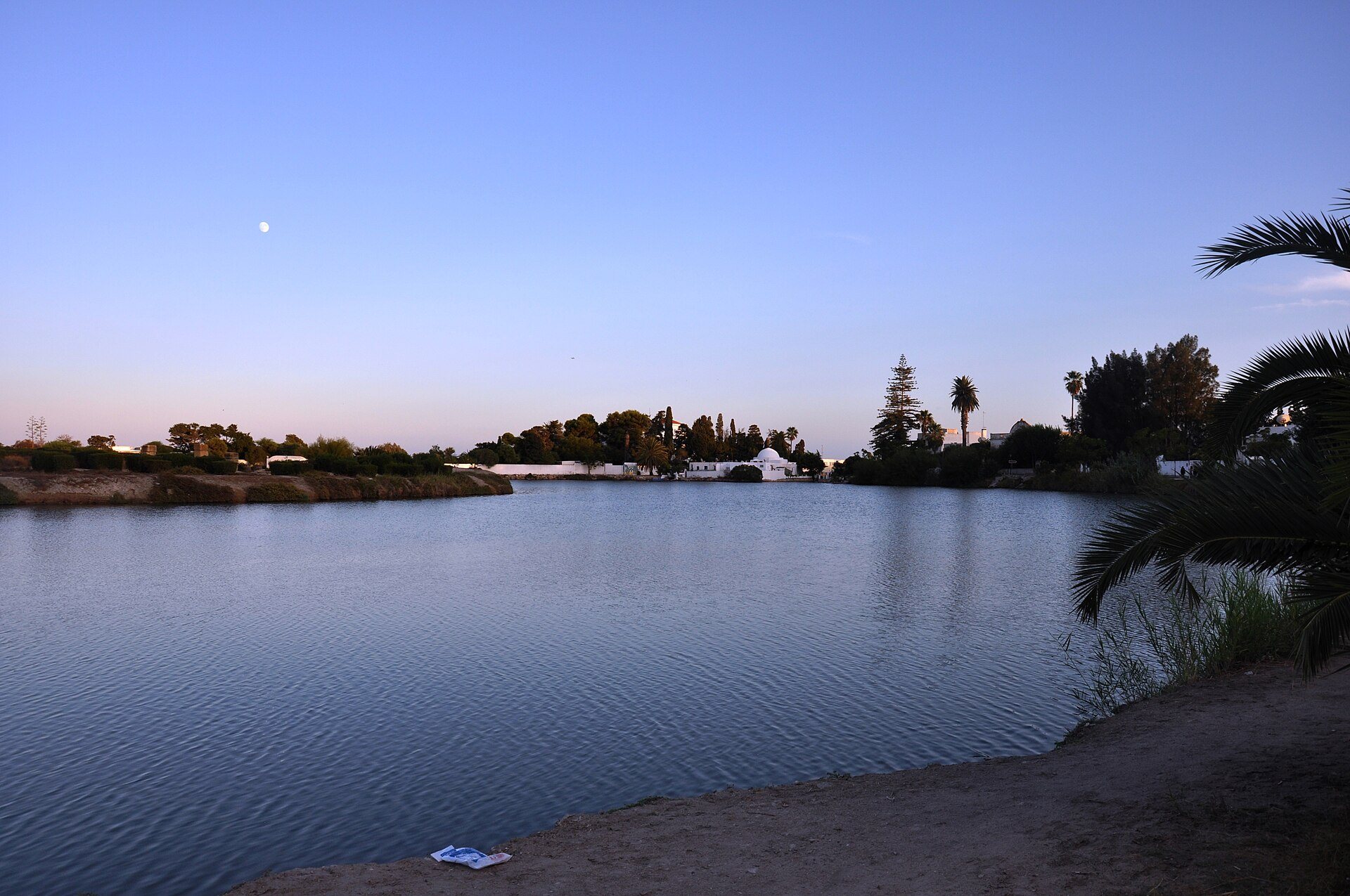
The surviving port complex occupies the southern end of ancient Carthage and consists of two artificial basins, or cothons. This term describes a harbour excavated or constructed by human labour, usually with controlled access to the sea. The circular military lagoon covers approximately eight hectares, while the roughly rectangular commercial lagoon is about twice as large. A narrow strip of land separates and connects the two basins, while channels linked the harbour system with the sea and included a route toward the present Bay of Kram.
The Military Harbour
The Circular Lagoon and Admiralty Islet
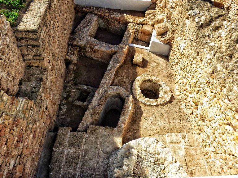
The circular lagoon was the military harbour. Excavations revealed Punic quays and ramps leading to dry docks, or wintering docks, whose floors were made from slightly inclined beaten earth. Around 30 docks occupied the circular island and another 135 to 140 were arranged around the perimeter. Together, these remains suggest a total of approximately 160 to 170 docks, capable of accommodating a similar number of warships.
Storage spaces stood above the dock areas, and each dock may have held two rows of ships. The facilities may have served primarily as shipyards, since the full fleet would not have needed simultaneous shelter or repair. Large concentrations of vessels may instead have occurred mainly during winter.
The circular island, known as the Admiralty Islet, contained an open area and a tower beside it. The tower was probably the pavilion or observation point of the navarch, a senior naval commander. Its elevated position allowed the commander to observe the sea, while approaching ships could not clearly see the inner harbour.
Appian’s Inner Harbour
Appian described the inner harbour and its island as bordered by large quays and enclosed facilities. His account gives accommodation for 220 vessels, warehouses for rigging, and two Ionic columns in front of each boat shelter. A double wall and gates concealed the arsenals from merchant ships. This written figure of 220 vessels does not exactly match the archaeological estimate of 160 to 170 docks, preserving an important distinction between the literary description and the excavated remains.
The Commercial Harbour
The Rectangular Lagoon
The roughly rectangular commercial harbour was connected to the military harbour by a canal. An esplanade at the canal entrance provided space for storing goods, while excavations around the basin exposed quays, hangars, and other port installations. Part of a quay excavated by an American team dates to the second half of the third century BC, providing evidence for the harbour’s development before the final monumental arrangement.
Falbe’s Quadrilateral
A channel known as Falbe’s Quadrilateral connected the commercial harbour with the sea and emerged near the outer harbour. It takes its name from the nineteenth-century Danish archaeologist who first studied it. The outer harbour was connected with the maritime wall of the second century BC.
Falbe’s Quadrilateral has been interpreted as a choma, an embankment and working platform. It probably provided room for manoeuvring, unloading, and storing goods while helping to protect the harbour entrance from prevailing winds. It may also have served as the landing area and bridgehead for the Roman army during the final assault of the Third Punic War.
Roman Structures and Later Alterations
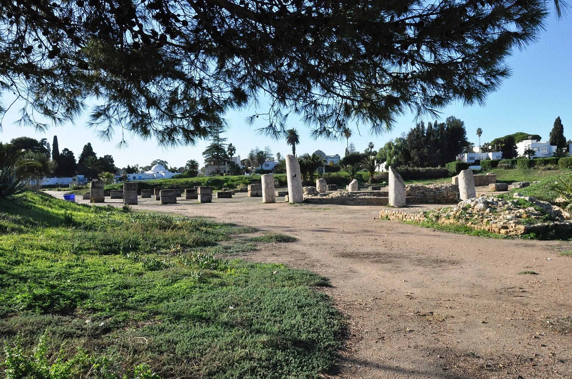
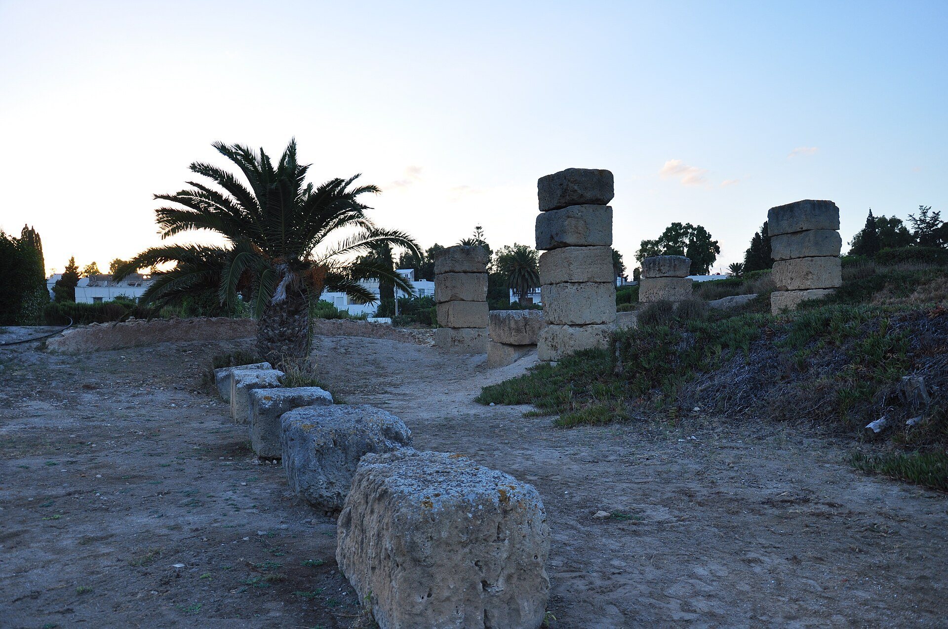
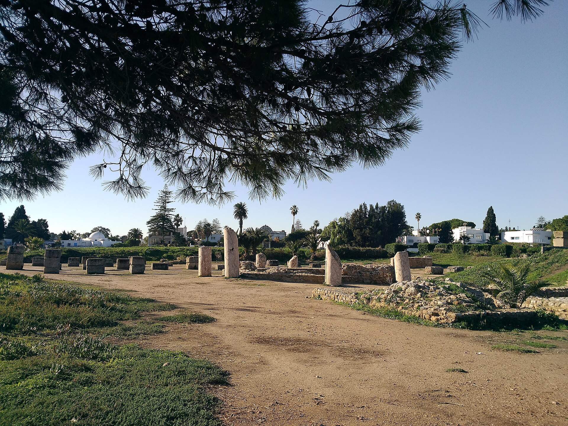
Roman-period changes reshaped the Admiralty Islet. The island contained a colonnaded public square, a temple, and an octagonal building whose function remains unknown. Roman paving and quay works dating to the fourth century were found in the area of the former military harbour, showing that the port district continued to be adapted after the destruction of Punic Carthage.
Archaeological models showing the port complex in different historical periods are displayed in the small museum on the Admiralty Islet. Together with the excavated quays, ramps, dock areas, canals, and later Roman structures, they illustrate the changing organization of Carthage’s maritime centre.