Cochasquí: A Caranqui Ceremonial and Archaeological Complex in Ecuador
Site at a Glance
- Rating
- 4.7
- Popularity
- Medium
- Country
- Ecuador
- Primary era
- Medieval
- Eras represented
- Medieval, Early Modern
- Civilizations
- Unclassified
- Site type
- Religious
- Remains
- Sanctuary
On this page11 sections
History
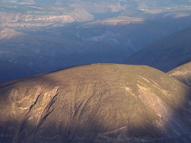
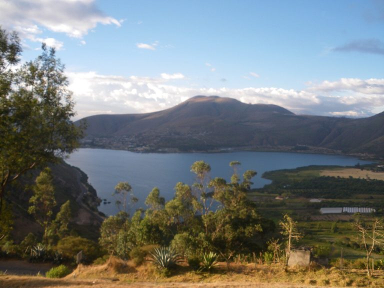
Cochasquí is a Caranqui archaeological complex on the slopes of Mojanda, an inactive volcano in Pichincha Province, Ecuador. Occupied from about AD 950 and monumentalized from around AD 1250 during the Integration Period, it formed part of a powerful northern Highland chiefdom and later became an important way station on the Inca road system.
Caranqui occupation and monument building
The Caranqui were an agrarian society whose territory extended from the Chota River to the Guayllabamba River and was divided among chiefdoms ruled by caciques, or Indigenous chiefs. Cochasquí was probably associated with one of the stronger chiefdoms, alongside Otavalo, Cayambe, and Caranqui itself. Its approximately 83.9 hectares may have served as a gathering place for surrounding communities, ceremonies, and possibly the residences of local rulers.
Human occupation began during the Cochasquí I phase, around AD 950. Monument construction started in the Cochasquí II phase around AD 1250 and continued until approximately 1550. The pyramids were built at different times, with some enlarged through successive construction stages. This long development produced a ceremonial complex rather than a single construction project.
Inca and Spanish-period transformations
During the late pre-Hispanic period, the Incas conquered the region. Inca pottery found at Cochasquí indicates their presence, and the complex became a tambo, a way station where travelers on the Inca road system could rest and receive support. The possible forced movement of local people to Cajamarca and the resettlement of Cajamarca inhabitants at Cochasquí under the Inca mit’a, a labor and resettlement system, remains uncertain.
Written references begin in 1538, during the Spanish conquest. At that time, Cochasquí may have referred to the entire mountain now called Mojanda rather than specifically to the archaeological complex. By 1561 it was an encomienda, a Spanish grant assigning authority over Indigenous labor and tribute, held by Antón Diez. Alonso Andaparinango was then the cacique of Cochasquí.
Over the following decades, inhabitants gradually moved to neighboring settlements including Malchinguí, Tocachi, and Cotacachi. In 1655 the area became a hacienda, or large landed estate, and Manuel Freire established its mayorazgo. His family retained the estate until Ecuador became independent from Spain.
Scientific observation and archaeological investigation
During the eighteenth century, the French Geodesic Mission used Cochasquí for astronomical observations while measuring the Earth’s circumference. The astronomer Pierre Bouguer recorded taking measurements from the summit of one pyramid on March 20, 1740.
The first excavation took place in 1932, financed by Jacinto Jijón y Caamaño and directed by the German archaeologist Max Uhle, then 76 years old. It was Uhle’s last excavation in Ecuador. Excavations resumed in 1964 and 1965 through a University of Bonn team led by Udo Oberem, with Roswith Hartmann, Wolfgang W. Wurster, Jürgen Wentscher, and the Colombian archaeologist Julio César Cubillos. The group became known as the Grupo Ecuador.
An archaeological park was established in 1981 as archaeological interest in the complex revived. Cochasquí also retains ceremonial importance for nearby Indigenous communities, which gather there for Mushak Nina, an Andean New Year observance, and Inti Raymi, a festival associated with the sun and seasonal renewal. Traditional dances, shamanistic rituals, marriages, and ceremonies connected with ancestry continue to form part of the site’s cultural associations.
Quilago and the memory of Inca conquest
A longstanding Ecuadorian tradition identifies Cochasquí with Quilago, a warrior queen, and with the Inca emperor Huayna Capac. In the story, Quilago resisted the Incas for two years before her capture and forced marriage to Huayna Capac. Some versions make their child the future emperor Atahualpa. The tradition then describes Quilago’s plot against Huayna Capac, her betrayal and execution, and the defeat of the Caranqui at Yawarkucha as part of the Inca conquest of northern Ecuador.
A Spanish chronicler recorded a performance in Quito in 1613 depicting the struggle between the Inca invader and Cochasquí, together with the relationship between Huayna Capac and the warrior queen. The tradition has acquired symbolic importance as a narrative of Ecuador’s origins through both conflict and union between the Incas and the Indigenous peoples of the region. The Inca assault on Cochasquí is also traditionally linked with the fall of the Pambamarca Fortress Complex, about 15 kilometres southeast of the site, whose defeat one historical interpretation places around 1505.
Remains
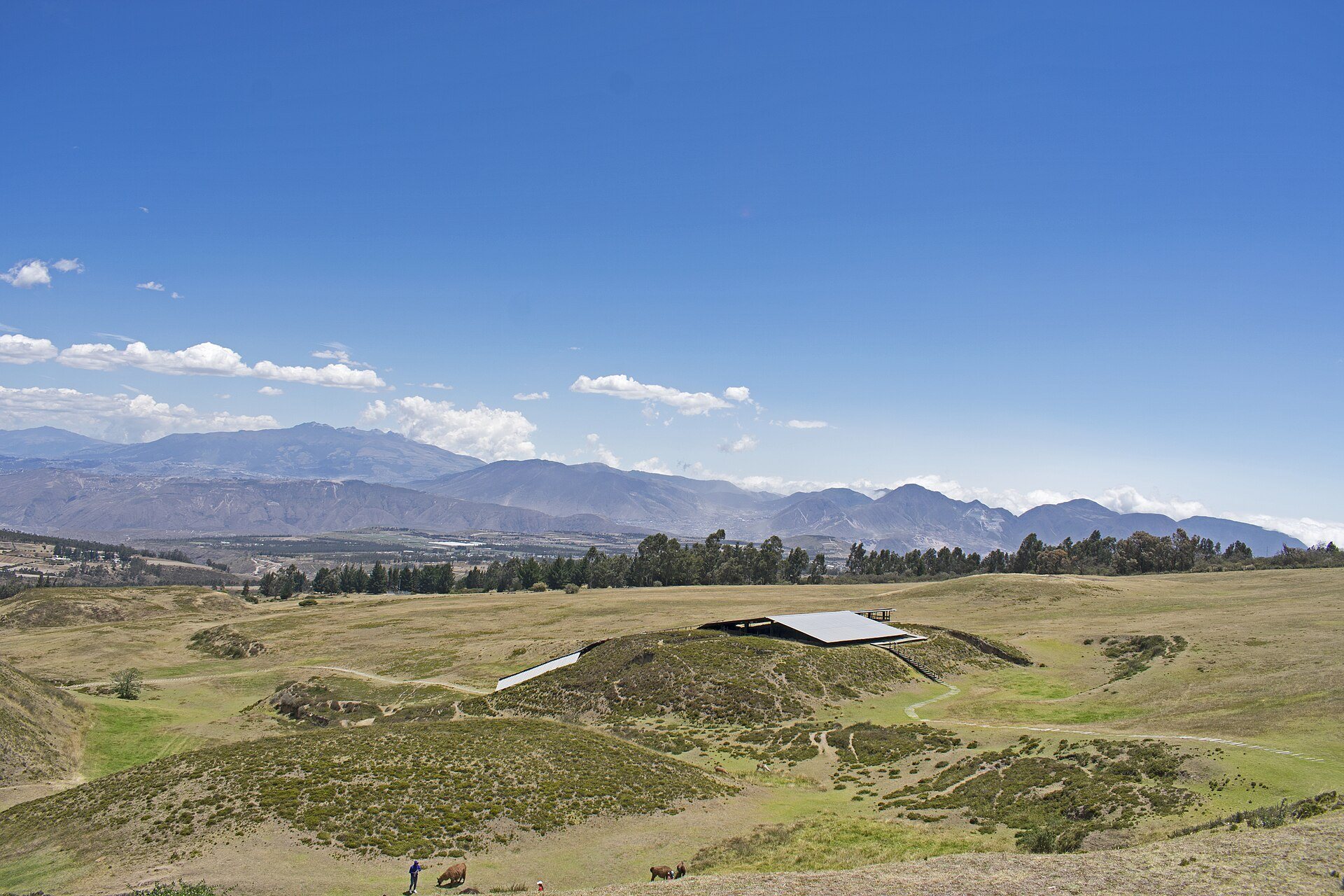
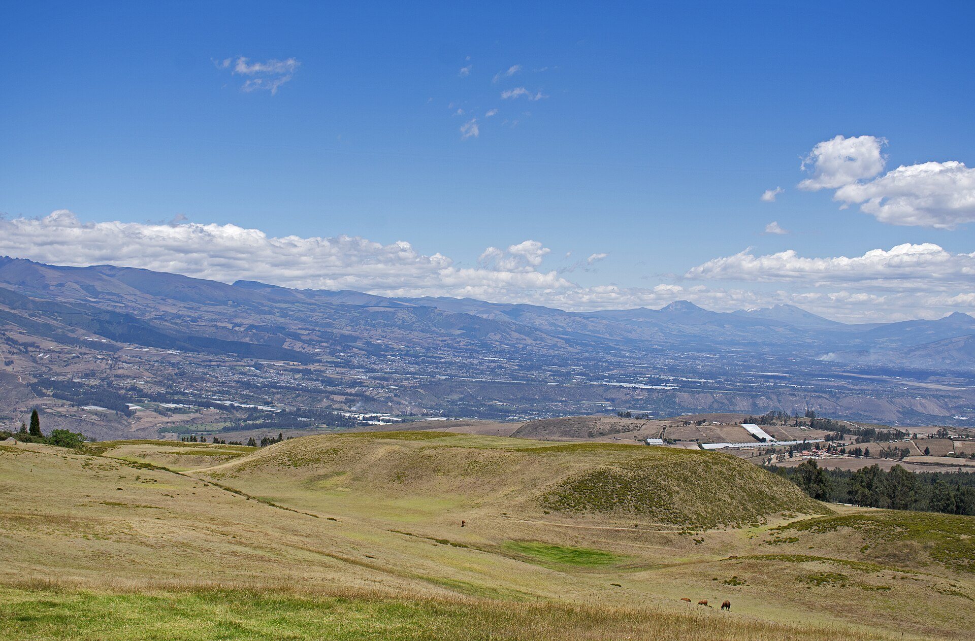
The complex covers about 83.9 hectares at an elevation of approximately 3,040 to 3,100 metres. Its principal monuments are 15 truncated pyramids with rectangular plans, at least 15 circular earthen mounds, and 21 identified funerary mounds. A settlement is thought to have surrounded the monumental area during its period of use. The pyramids and mounds are now covered by a thin layer of earth and grass and survive in a ruined condition.
Truncated pyramids
The pyramids have flat rectangular platforms rather than pointed summits. Nine possess long access ramps, producing a T-shaped plan when viewed from above. The largest has a base of about 90 by 80 metres and a ramp approximately 200 metres long, while the highest reaches around 21 metres.
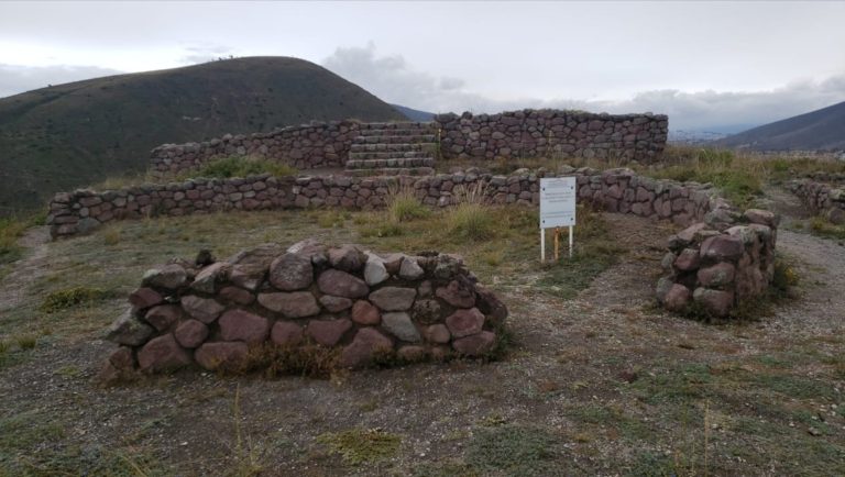
Most of the pyramids consist of earth fill held between retaining walls made from cangahua, a soft volcanic stone similar to tuff. Internal walls use rectangular and polygonal blocks placed in an apparently irregular pattern. Rows or stepped coverings of rectangular cangahua blocks lined the outer slopes and helped maintain inclines of about 20 to 35 degrees. These stone surfaces were probably coated with mud originally, concealing the blocks.
The pyramids are interpreted as ceremonial or temple structures. Their ramps may have accommodated public processions, while enclosing walls on the platforms restricted the visibility of activities carried out at the summit. Archaeological evidence also indicates that circular dwellings once stood on some platforms. Their form has been compared with early Chachapoya structures in Peru and Tairona structures in Colombia.
Pyramid G was heavily damaged by looters before Uhle’s 1932 excavation. The resulting large pit remains visible within the ruined complex.
Platforms and internal structures
Pyramid E
Excavations on the platform of Pyramid E uncovered the foundations of two structures made from clay slabs fired until they became brick-like. One survived in better condition than the other. Its interior contained two carefully cut channels set at an angle to one another, with three conical stones embedded in one channel. A surviving Caranqui clay model shows a rounded hut on a pyramid platform, possibly corresponding to the circular clay platforms found on Pyramid E. The model also depicts an enclosing wall open only at the ramp entrance.
Pyramid 13
Pyramid 13 contained two circular platforms made from fired clay. The larger measures approximately 15.78 metres across and has two channels, with 15 openings on one side and 12 on the other. The smaller platform measures about 9.75 metres across and has two shallow lengthwise channels containing groups of three openings with andesite stone cones. The larger platform was built at a lower level than the smaller one.
Circular and funerary mounds
The circular mounds and pyramids are commonly classified as tolas, earthen monumental forms associated with the archaeological traditions of the northern Ecuadorian highlands. The mounds appear to have preceded the pyramids as a regional architectural form and were built mainly from earth and cangahua. About 15 circular mounds lie south of the pyramid complex, although aerial photography indicates that more may once have existed. Some served as funerary monuments, while others contained no identifiable burials or offerings.
Mound A contained a woman’s skeleton, three vessels, and seven deliberately deformed human skulls. Mound N included a burial shaft three metres deep, several vessels, and a stone mortar, although its skeleton had not survived. Excavations in mounds H and X found no human remains or offerings. No gold or other precious metals have been found in the mounds.