Rumicucho: An Inca Fortress and Archaeological Site in Ecuador
Site at a Glance
- Rating
- 4.6
- Popularity
- Very Low
- Country
- Ecuador
- Primary era
- Medieval
- Eras represented
- Medieval, Early Modern
- Civilizations
- Inca
- Site type
- Military
- Remains
- Fort
On this page11 sections
History
Rumicucho, also called Pucara de Rumicucho, is an archaeological site at Calle Moraspungo in San Antonio parish, Quito Canton, Ecuador. Probably built by the Incas between about AD 1480 and 1500 in the imperial expansion phase of Inca architecture, it incorporated an area already occupied by local peoples, including the Panzaleo and Quitu, Caranqui, and Cuasmal communities.
Inca expansion in northern Ecuador
The Inca Empire, the large Andean state that expanded across western South America before the Spanish conquest, ruled the area until the 1530s. Rumicucho formed part of the effort to consolidate Inca control after the conquest of surrounding territories and to advance against the northern Caranqui chiefdoms. Fighting in northern Ecuador may have continued for two or three decades, and the conquest was not complete until the early sixteenth century.
As a pucara, an Andean hilltop fortress or fortified settlement, Rumicucho served principally as a military base. It also combined residential, ceremonial, religious, and transit-control roles. Its position allowed it to regulate movement between Quito and communities to the north, including traffic entering and leaving Quito, while its setting also indicates a role in controlling transit and trade.
Names and religious interpretation
The site was formerly known as Lulumbamba, a name meaning “fertile plain” and referring to the cultivated valley to the west. Rumicucho derives from Quechua terms meaning “stone corner,” possibly describing its strategic position between the territory of the Yumbo people to the east and the Caranqui chiefdoms to the north.
Rumicucho may also have been a place of worship dedicated to Inti, the Inca sun deity, and an astronomical observatory. This interpretation is associated with the shape and orientation of the third terrace, its relationships with nearby hills and volcanic peaks, and its position close to the equatorial zone, where solar events could be observed.
Local fortifications and later condition
Rumicucho belongs to a wider group of more than 100 known pucaras in northern Ecuador. The large number of fortifications reflects the intensity of Indigenous resistance to the Inca advance. Many had been built by local peoples before the Inca period, after which the Incas established or strengthened them as military bases.
The site is now in ruins. Restoration has affected some walls, while other structures have disappeared or remain unrestored.
Remains
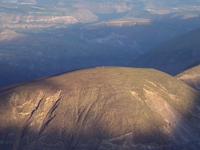
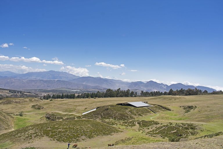
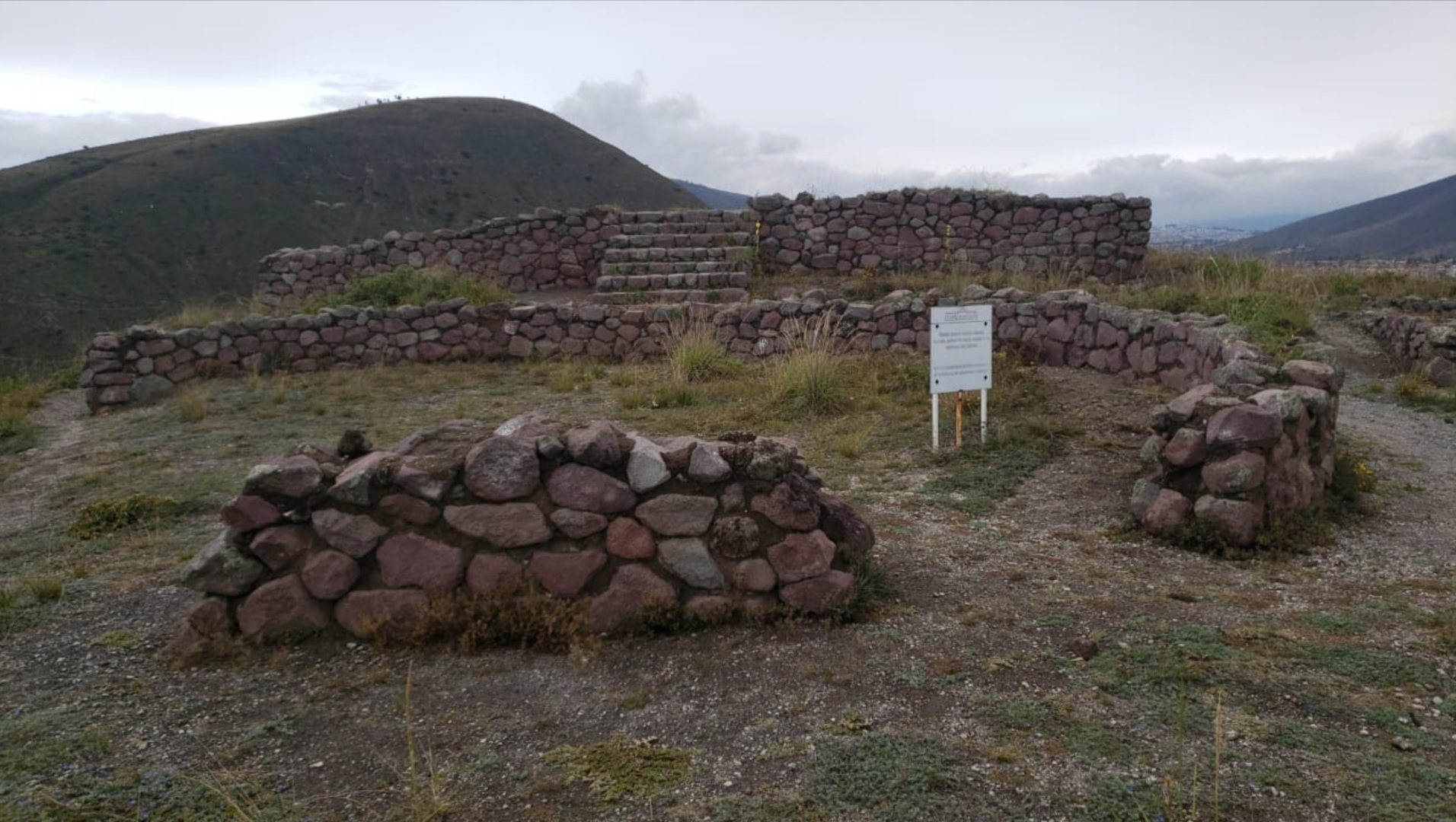
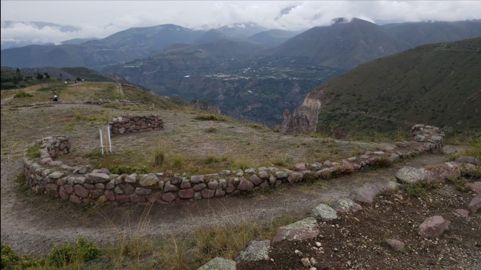
Rumicucho occupies almost 3 hectares on a small hill about 2,401 metres above sea level. The complex extends approximately 380 metres from north to south and is about 75 metres wide. It lies roughly 23 kilometres north of Quito in a straight line and about 1 kilometre from the equator. Five terraces rise in a roughly pyramidal arrangement, accompanied by a western platform or terrace. Their rectangular, quadrangular, and circular forms create an elongated layout oriented from north to south.
Terraces and construction
Terraced complex
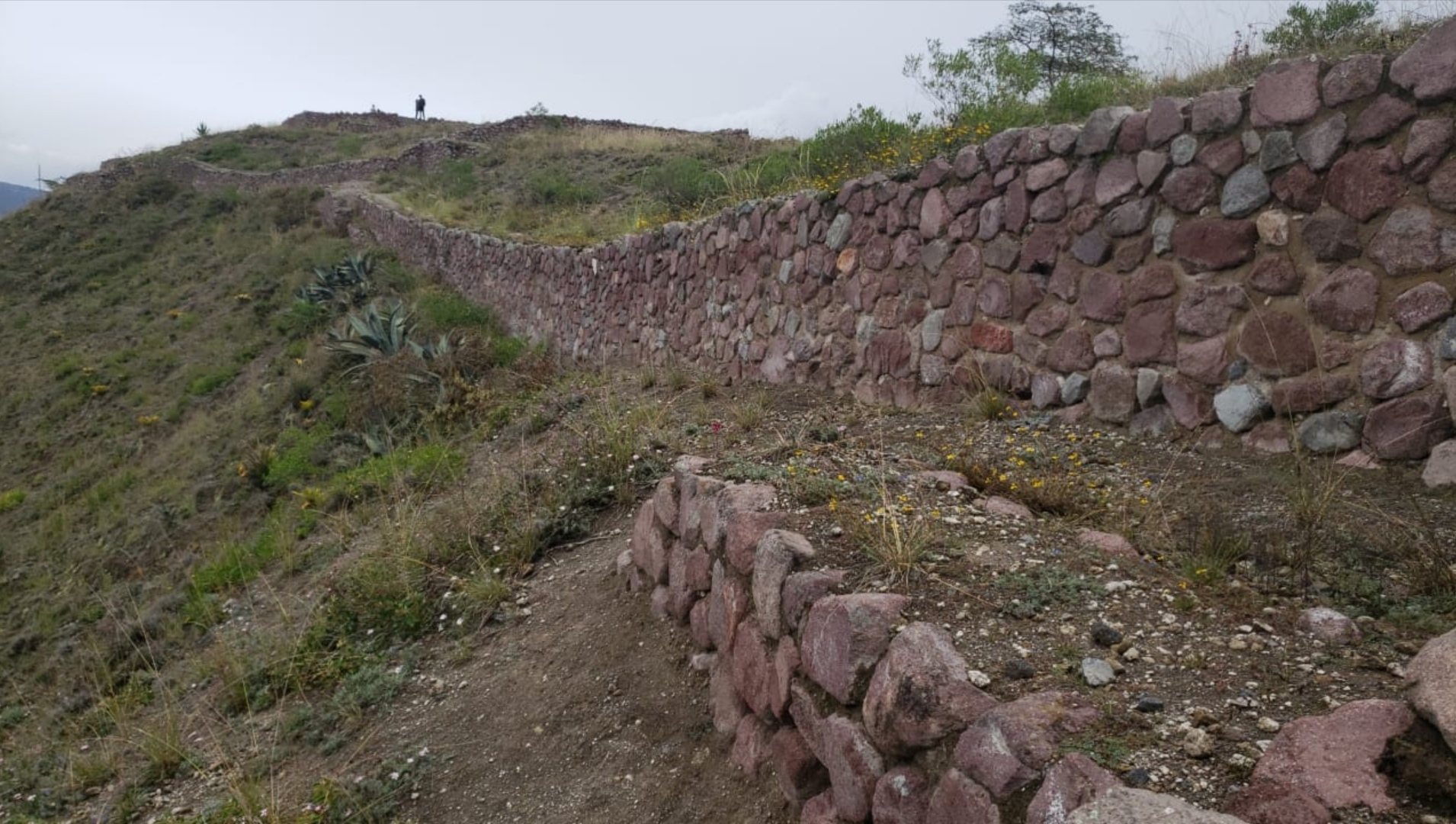
The terraces vary in size and reflect a mixed architectural complex that combines Inca and local building traditions. The walls use pirka, rustic stonework made from roughly shaped stones rather than finely cut masonry. Earlier buildings and walls were probably incorporated into or altered by the Incas, leaving a complex associated with both pre-Inca occupation and the imperial expansion phase.
Ritual and residential terraces
The first and second terraces were used for ritual activities and feasting or food consumption. They may also have contained housing and workshops. The third terrace served as a ceremonial area and is the principal architectural feature associated with the proposed observation of solar events. Its orientation extends toward surrounding landscape reference points, including La Marca, a nearby Andean hill, and the volcanic peaks of Cayambe and Cotopaxi.
The fourth terrace has an uncertain function. The fifth terrace and lateral spaces were used for domestic and residential purposes. Together, these areas show how the hilltop complex accommodated ceremonial activity alongside everyday occupation.
Buildings, defensive features, and finds
Enclosures and internal structures
Recorded components include sentry boxes, a kancha, or enclosed compound, a residential structure, a kitchen, passages, stairways, a large rock, a stone circle, and structures whose functions remain unknown. These elements occupy the terraced complex and reflect its combination of defensive, domestic, and ceremonial uses.
Archaeological finds
Excavated objects include materials of both Inca and local origin. Stone weapons, including boleadoras and sling stones, relate to military activity, while wooden objects, terracotta ceramics, bone objects, camelid-bone implements, seashells, metal objects, and cloth provide evidence of activities within the settlement. Ceramic vessels used to prepare chicha, a fermented grain beverage employed in domestic and ceremonial contexts in the Andes, further connect the finds with food preparation and ritual practice.
The proposed solar alignments extend toward Cayambe, approximately 50 kilometres to the east, and Cotopaxi, approximately 80 kilometres to the south. Combined with the site’s position near the equator, these relationships support interpretations of the complex as a place with astronomical or sacred uses, especially around the third terrace.