Roman Aqueducts of Plovdiv: An Ancient Water-Supply System in Bulgaria


Site at a Glance
- Rating
- 4.7
- Popularity
- Low
- Country
- Bulgaria
- Primary era
- Classical
- Eras represented
- Classical, Medieval
- Civilizations
- Byzantine, Roman
- Site type
- Infrastructure
- Remains
- Aqueduct
On this page9 sections
History
The Roman Aqueducts of Plovdiv are an ancient Roman water-supply system in Bulgaria, built to serve Philippopolis, the city that occupied present-day Plovdiv. The system appears to have been established at the end of the second or beginning of the third century AD, reflecting the resources and importance assigned to Philippopolis during Antiquity.
Roman water supply
Spring water was brought from the foothills of the Rhodope Mountains through two above-ground aqueducts and a separate underground pipeline made of clay pipes. The two aqueducts joined near present-day Komatevo before continuing in parallel toward the city. Together with additional reservoirs and distribution lines, they supplied public buildings, fountains, and some houses belonging to the wealthiest families.
The hilly districts depended on separate wells and rainwater reservoirs, while the main urban network carried water beneath the streets. The system also distributed water toward Taksim Tepe. Its construction required organized production of building materials, especially bricks, and the surviving bricks carry stamps identifying the workshops that produced them. Enslaved workers carried out the construction.
Late Roman improvements
The aqueducts were renovated and improved during the fifth and sixth centuries. The aqueducts and the underground pipeline probably converged at a distribution reservoir known as a castellum, where incoming water could be divided among different pipelines. This reservoir was probably on the western slopes of Dzhendem Tepe and appears to have been destroyed during the construction of a modern tunnel.
Other reservoirs probably stood in the northern parts of Dzhendem Tepe and Bunardzhik. From these points, water was distributed to different parts of the city. The ancient pipelines had an estimated capacity of approximately 43,000 cubic metres of water per day.
Discovery and restoration
Archaeologist Dimitar Tsonchev investigated Philippopolis’s water-supply system in 1935, when the aqueducts were discovered. Restoration work carried out during the 1980s exposed and repaired parts of the structures while retaining their authentic foundations. The system now survives as ruins, exposed masonry, foundations, and partially restored sections.
The Philippopolis aqueducts are described as the only Roman water-supply system discovered in Bulgaria and as one of the few preserved Roman aqueduct systems in Europe. Their remains provide evidence of the scale of Roman investment in the ancient city.
Remains
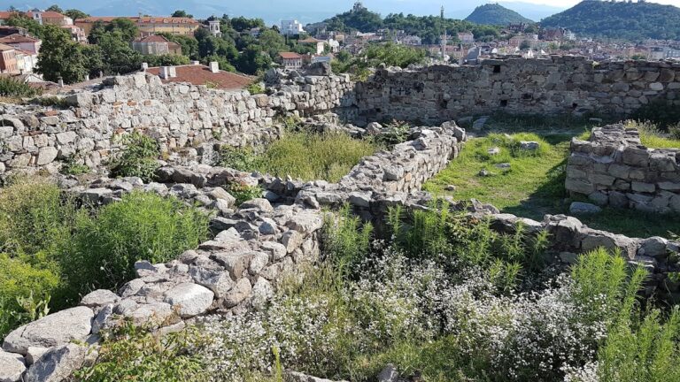
The surviving system combines spring catchments, an underground clay-pipe line, two parallel masonry aqueducts, reservoirs, towers, and urban pipelines. The aqueducts came together near Komatevo and ran toward Philippopolis between 30 and 40 metres apart. Their remains are preserved in fragments, including foundations, exposed walls, piers, pylons, and restored sections.
Spring catchments and underground supply
The water began in three catchments in the Rhodope foothills, two at Marata near present-day Markovo and one at Kainatsite near present-day Kuklen. A catchment is an installation that collects spring water and directs it into a pipeline or aqueduct. Parts of these installations survive and have been investigated.
One catchment included an underground reservoir measuring 13 by 7 metres. It was partly destroyed during the construction of a modern reservoir. Another consisted of a central tunnel with lateral branches, one of which extends for at least 76 metres. This complex remains only partly explored. From the catchments, water entered the clay-pipe pipeline and the two above-ground aqueducts.
Western aqueduct
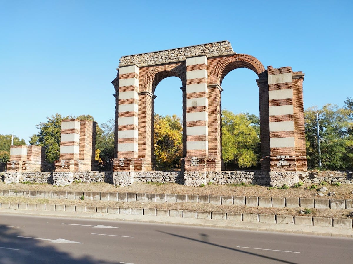
The western aqueduct was the more massive and more thoroughly studied of the two. It ran for approximately 6 kilometres, and its route from Komatevo to the foot of Dzhendem Tepe has been carefully investigated. An exposed section about 700 metres long follows Komatevsko Shose near the Komatevo road junction.
Its foundations varied in size and rested on driven wooden piles. A continuous stone wall, approximately 4.4 metres wide, supported the piers. The piers and the structure above the foundation wall were built with alternating courses of stone blocks and bricks, a Roman technique known as opus mixtum. In some places the aqueduct reached approximately 14 metres in height, while its cruciform piers measured about 3.40 by 4.40 metres.
Eastern aqueduct and maintenance structures
The eastern aqueduct also extended for approximately 6 kilometres. Its piers varied in size, with recorded lengths of 2.16 to 4.55 metres and widths of 2 to 3 metres. Near Dzhendem Tepe, a large exposed pylon measures 6.35 metres in length and 4.1 metres in width.
The pylon stands beside, rather than directly on, the aqueduct route. It probably formed the foundation of a tower used for maintenance and cleaning. Massive towers stood at intervals along the routes, serving repairs, cleaning, ventilation, and regulation of the water system.
Urban distribution network
One aqueduct route was traced as far as Roman Stadium Square, where a distribution reservoir was believed to have stood. Within the city, pipelines ran beneath the streets, following all north-south streets and some east-west streets. Main street lines were made of clay, while lead branches carried water to individual houses and other endpoints.
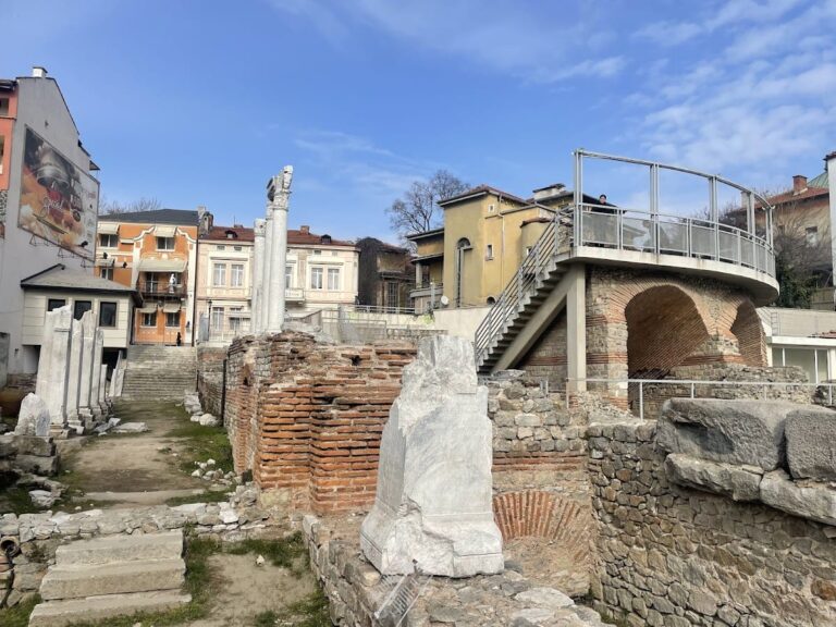
The network fed numerous public reservoirs and fountains. The fountains themselves have not been found in place, but the city has yielded numerous sculptural fragments from such installations. Additional exposed remains occur near the ancient Philippopolis Stadium and on or near Bunardzhik, Dzhendem Tepe, and Sahat Tepe. These fragments, together with the surviving masonry and foundations, represent the remains of a once-connected water system rather than an intact aqueduct route.