Kalno Grikštų II Hillfort: A Curonian Frontier Fortification in Lithuania
Site at a Glance
- Rating
- 4.2
- Popularity
- Very Low
- Country
- Lithuania
- Primary era
- Medieval
- Eras represented
- Medieval
- Civilizations
- Unclassified
- Site type
- Military
- Remains
- Fort
On this page6 sections
History
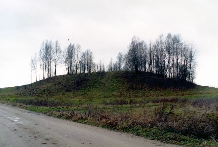
Kalno Grikštų II Hillfort is a fortified archaeological site in Lithuania, near Kalno Grikštai village in Kretinga District, dating from the first millennium and the beginning of the second millennium. A wooden castle stood here and guarded the western approaches to Ceklis, a historical land associated with the Curonians, a western Baltic tribal group of the eastern Baltic region.
A Curonian Frontier Site
The hillfort formed part of a wider fortified and inhabited landscape. Kačaičiai Hillfort lies 950 metres to the southeast, while Kalno Grikštų Hillfort, which has a forework, lies 650 metres to the south. An unfortified ancient settlement and burial ground are located 1.05 kilometres to the southwest.
Identification and Protection
Biologist Darius Stončius identified the hillfort. In 2016, archaeologists Algirdas Skrupskelis and Arūnas Strazdas of the Cultural Heritage Centre surveyed the site. It entered the Register of Immovable Cultural Properties of the Republic of Lithuania in 2017 and was designated a nationally significant registered cultural property for its archaeological and landscape values. The site covers 15,044 square metres.
Remains
Promontory and Defensive Works
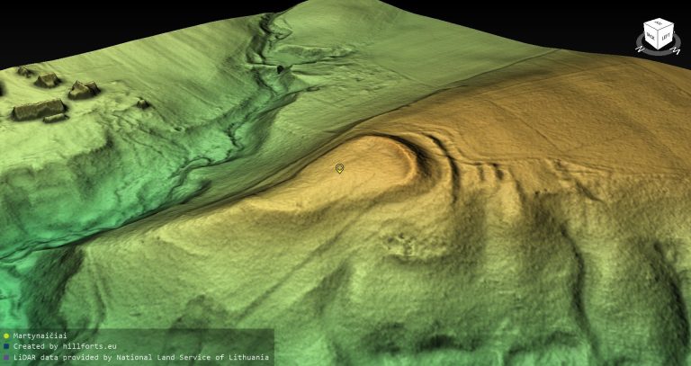
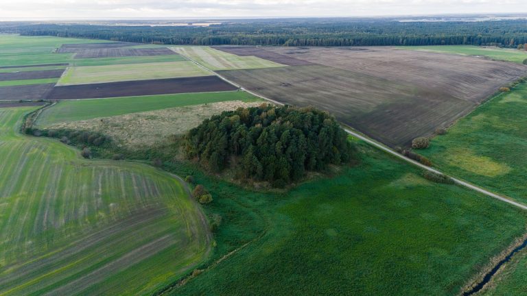
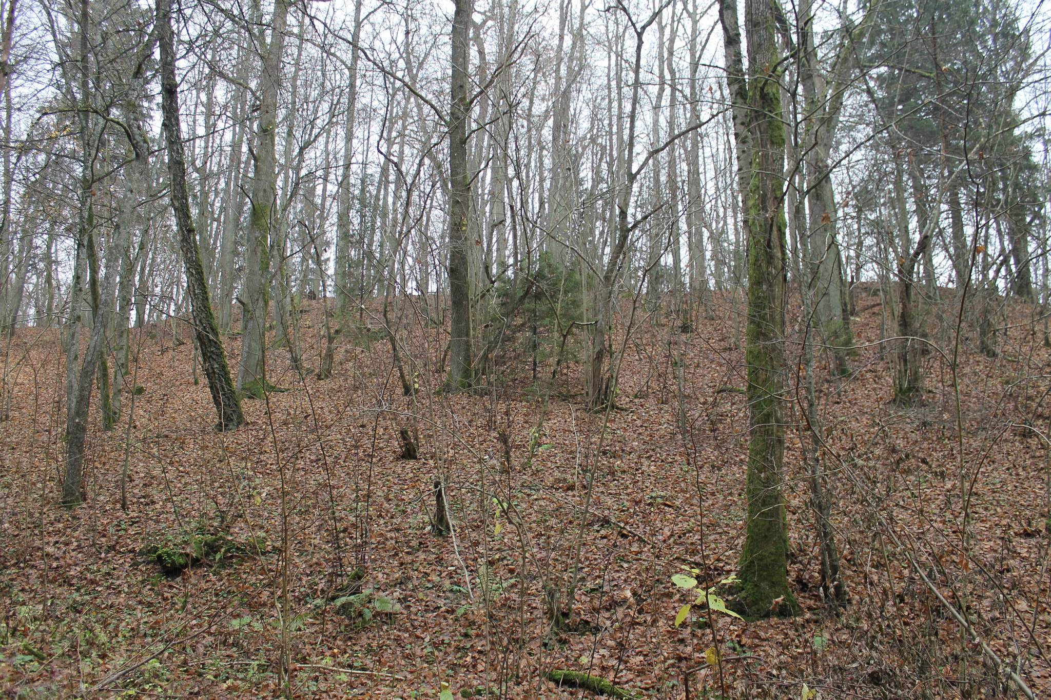
The hillfort occupies a high promontory in Mišučių Forest, near the left bank of the Minija River. Deep, spring-fed ravines border it to the north and south, while a broad river valley lies to the west and higher ground continues to the southeast. The natural position is reinforced by steep slopes, which rise 15 to 16 metres on the northern and southern sides and up to 25 metres above the river valley.
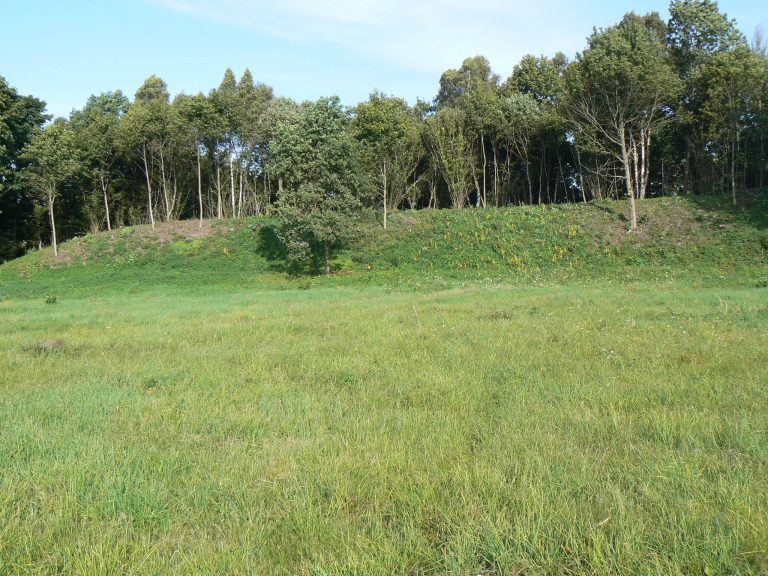
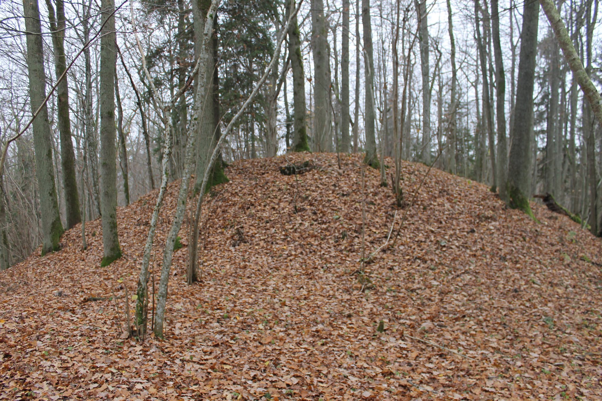
The summit plateau is almost oval, measures about 20 by 25 metres, and runs from northwest to southeast. Its centre is convex, while the eastern part slopes down toward the edge. Along the southeastern edge is a defensive rampart about 20 metres long and 20 metres wide, standing approximately 0.5 metres high. Its outer slope descends for 2 metres into a ditch about 5 metres wide and 1 metre deep. A second rampart beyond the first ditch is approximately 10 metres wide and 0.5 metres high. Its outer slope leads into a parallel ditch 10 to 12 metres wide and about 0.5 metres deep, separating the hillfort from the adjoining high ground.
Terraces and Present Condition
Two terraces survive on the slopes. One lies on the northwestern slope, 3 metres below the plateau, and extends for about 20 metres with a width of up to 5 to 6 metres. Another terrace, 2 to 3 metres wide, is located about 4 metres below the northern edge of the plateau.
The hillfort is forested and has been affected by long-term ploughing and excavated pits. Slight erosion affects parts of the slopes. The inner rampart has been severely spread and flattened, while the outer rampart is somewhat deformed. The defensive ditches are partly silted or filled in. A pit approximately 5 metres across and 1 metre deep was dug at the southern end of the first terrace.