Ringwall Bleibeskopf: A Prehistoric Hilltop Fortification in Germany
Site at a Glance
- Rating
- 4.8
- Popularity
- Very Low
- Country
- Germany
- Primary era
- Bronze Age
- Eras represented
- Bronze Age
- Civilizations
- Unclassified
- Site type
- Military
- Remains
- Wall
On this page7 sections
History
Ringwall Bleibeskopf is a prehistoric hilltop fortification in Germany, near Bad Homburg vor der Höhe, associated with the Urnfield culture around 800 BC. The Urnfield culture was a late Bronze Age tradition in central Europe, named for the burial of cremated remains in urns. The site represents a permanent elevated settlement and occupies the summit of the Bleibeskopf, about 1.5 kilometres in front of the Taunus ridge.
A Single Late Bronze Age Settlement
The finds form a coherent group in both type and date, pointing to occupation during a single period rather than a succession of major settlement phases. Seven hoard deposits were discovered within the enclosure. A hoard, or depot find, is a group of objects deliberately placed together. The reason for these deposits at Bleibeskopf remains unclear, but their contents show that the settlement held considerable importance within its setting.
The hoards contained bronze weapons, tools, ornaments, and other equipment. Casting cakes among the objects indicate that metalworking took place locally, with workshops producing or processing bronze at the settlement.
Archaeological Investigation and Protection
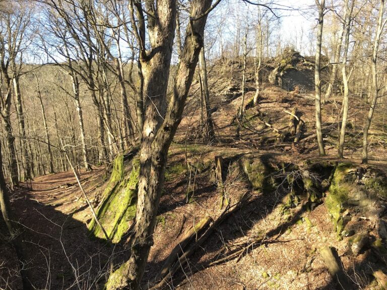
The archaeological researcher Christian Ludwig Thomas investigated the site in 1899, 1909, and 1910. Ringwall Bleibeskopf is now a wooded archaeological ruin, with surviving wall remains rather than standing buildings. It is protected as an archaeological monument under the Hessian Monument Protection Act. Investigations and targeted collecting require official permission, while chance finds must be reported to the heritage authorities.
Remains
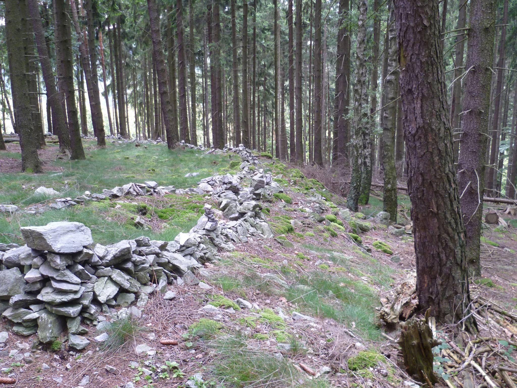
The ringwall occupies the 480.1-metre summit of the Bleibeskopf and encloses approximately 1.4 hectares within a circumference of just under 500 metres. Its plan follows the natural terrain and incorporates existing rock formations, including formations on the southwest side. The summit falls steeply to the west, south, and east, while the northern side connects by a relatively flat, saddle-shaped approach toward the Roßkopf.
Enclosure and Natural Setting
The interior rises and falls across as much as 25 metres and is broadly divided into three levels. The highest lies in the north, a western level slopes across the enclosure, and the eastern level is the lowest. This arrangement reflects the uneven summit rather than a regularly levelled settlement ground.
Defensive Wall and Entrance
The enclosure was bounded by a dry-stone wall, built from stones laid without mortar, slightly more than 3 metres wide. The northern sector received the strongest fortification because it faced the most vulnerable approach. A gate provided access on the north side. No ditch has been identified around the enclosure, although one would probably have been needed only along the northern approach.
Hoard Finds and Later Installations
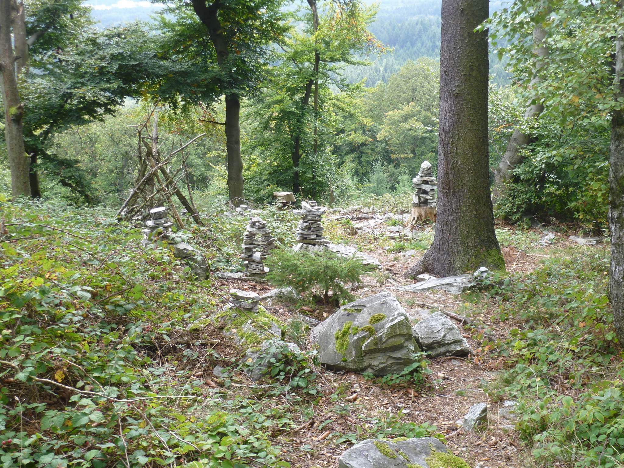
The seven hoard deposits produced bronze weapons, tools, ornaments, and other equipment, while casting cakes point to local metalworking. These movable remains help explain both the settlement’s activities and its material importance. Modern stone towers, stone artworks, stone-laid paths, and marked wall-like arrangements are widespread around the enclosure, but these installations probably do not represent the fortification’s historical appearance.