Hradec u Dobříše: A Prehistoric Hillfort in Czechia
Site at a Glance
- Rating
- 4.3
- Popularity
- Very Low
- Country
- Czechia
- Primary era
- Iron Age
- Eras represented
- Bronze Age, Iron Age
- Civilizations
- Unclassified
- Site type
- Military
- Remains
- Fort
On this page13 sections
History
Hradec u Dobříše is a prehistoric hillfort in Czechia, occupying the summit plateau of Hradec Hill in the Brdy Upland. Its origin remains uncertain, although the form of its ramparts suggests possible construction during the Late Bronze Age or the Hallstatt period, an Iron Age cultural period in central Europe conventionally dated from about the eighth to the fifth century BC.
Origins and Early Evidence
Ceramic fragments from the site belong to both prehistory and the Early Middle Ages. These finds indicate activity during more than one broad period, but the evidence does not establish a precise date for the hillfort’s foundation. An Early Medieval hillfort has been considered unlikely, while the earthworks are more consistent with a prehistoric origin.
Antiquarian and Archaeological Study
The earliest known reference to Hradec u Dobříše appears in the records of Václav Krolmus concerning the Beroun and Hořovice regions. Jan Erazim Vocel and Josef Ladislav Píč later discussed the site in their archaeological works. In 1875, Břetislav Jelínek made a limited investigation of the rampart, and Karel Nováček recovered pottery through surface collection. Investigation has therefore focused on the visible earthworks and surface material.
Protection
Hradec u Dobříše is protected as a cultural monument and lies within the Hradec u Dobříše Nature Reserve. These protections preserve the surviving prehistoric earthworks within their upland setting.
Remains
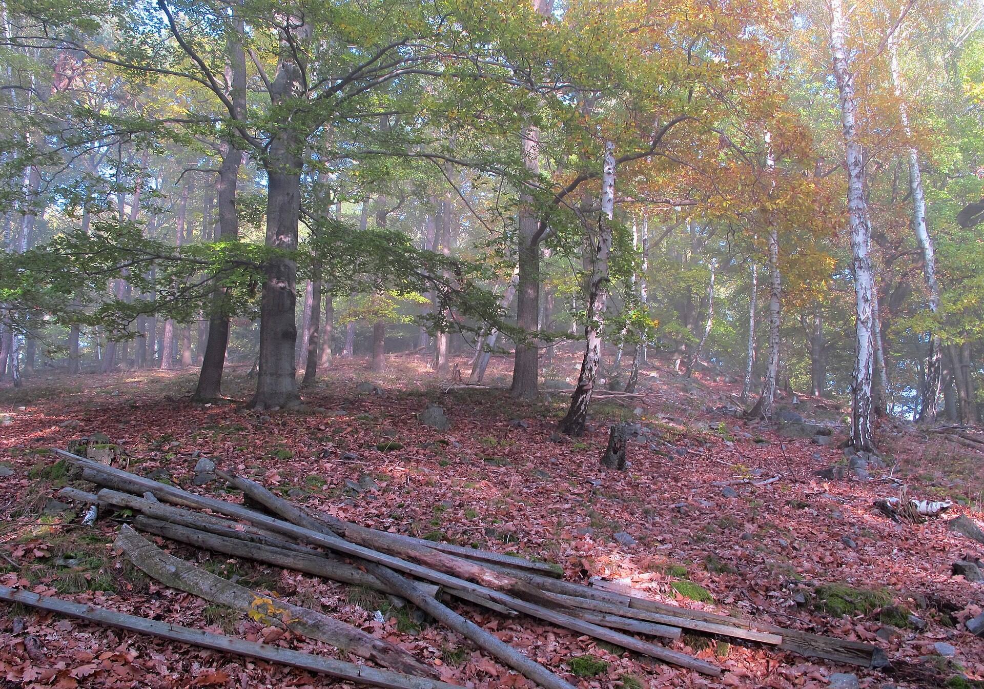
The hillfort covers about 1.7 hectares on a flat elevation at 628 metres above sea level. Its oval main enclosure measures approximately 216 by 94 metres. The ground descends from the summit rock toward the northern and western ramparts, while the rocky summit continues eastward into a steep, stony slope. Fortifications concentrate on the north and west, with the summit and steep terrain providing protection to the south.
Outer Defences
Likely Northeast Entrance
The most likely entrance lay on the northeast, where approach to the hillfort is easiest. A forest path may follow the course of a prehistoric route, and a deep ditch cuts across the promontory at this point. Beyond the ditch is a small rectangular outer ward, traditionally called Zahrada, or “Garden.”
Zahrada Outer Ward
Zahrada covers approximately 0.07 hectares and formed a secondary fortified enclosure outside the main area. Its surviving rampart is about 1.3 metres high and 5 metres wide at the base. On its southeast side, the steep rocky slope supplied the needed protection. Two paths now cross the fortification, although their relationship to the original layout remains uncertain.
Main Rampart
Earthwork and Construction
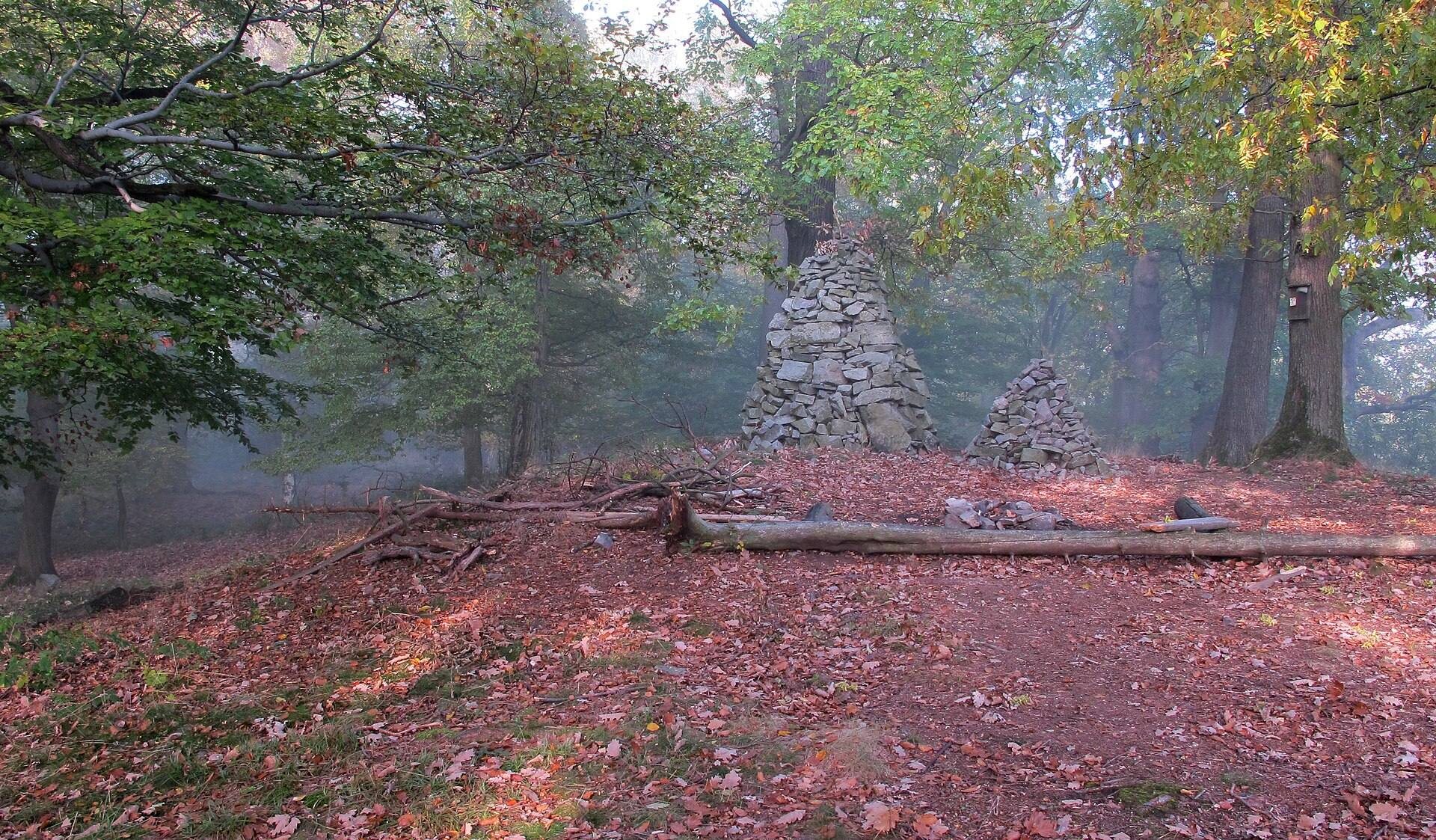
The main enclosure is bordered by a prehistoric rampart about 302 metres long. Descriptions made in 1857 gave its base a width of 8 to 11 metres and its outer face a height of up to 3.5 metres. On the western side, the rampart reached 4 to 5 metres high, although its height above the interior was only about 0.5 metres because it stands on a steep slope.
The rampart was built as a defensive embankment or wall containing a stone body held by a timber framework. In 1875, Břetislav Jelínek observed vertical holes in the rampart, reaching up to 60 centimetres deep and measuring 40 to 50 centimetres across. They formed two parallel rows. Adjacent holes in one row could be as much as 7 metres apart, while the nearest hole in the other row formed a triangle with them at a distance of no more than 5 metres. The holes held substantial posts that supported horizontal logs, creating a retaining structure for the stones.
Later Alteration
During the second half of the nineteenth century, stones from the ramparts were crushed for gravel. This activity altered parts of the prehistoric earthworks, while the remaining ramparts continue to define the principal enclosure.
Interior of the Enclosure
U Studně Depression
Within the fortified area is a depression known as U Studně. Its form may have allowed it to serve as a cistern, a basin used to collect and store rainwater. The feature lies within the main enclosure and contributes to understanding how water may have been managed on the hilltop.