Iwatsuki Castle: A Japanese Flatland Castle and Domain Seat
Site at a Glance
- Rating
- 3.8
- Popularity
- Low
- Country
- Japan
- Primary era
- Medieval
- External website
- Open
- Eras represented
- Medieval, Early Modern
- Civilizations
- Unclassified
- Site type
- Military
- Remains
- Castle
On this page13 sections
History
Iwatsuki Castle was a Japanese flatland castle in Japan, in present-day Iwatsuki Ward of Saitama, that served as the administrative seat of Iwatsuki Domain. Its origins are disputed, but it developed during the Muromachi period, the era of the Ashikaga shogunate, and remained in use until its abandonment in 1871.
Early origins and the Ota family
A tradition preserved in the Shinpen Musashi Fudoki Koko connects the castle with a bell inscription from Mirokuji Temple dated 1246. The inscription suggests that the place was already known as Iwatsuki and may have contained a castle at that time, although it does not settle the question of when the present stronghold was founded.
Several explanations for the castle’s foundation have survived. One account attributes its construction in 1457 to Uesugi Mochitomo of the Ogigayatsu Uesugi family and the father-and-son team Ota Doshin and Ota Dōkan. In this interpretation, Iwatsuki, Edo, and Kawagoe castles were built to oppose Ashikaga Shigeuji, the Koga kubo, an Ashikaga family military authority based at Koga in the northern Kanto. Other theories place the construction in 1478 and credit Narita Shōtō, or date it to around 1509 and assign it to the Shibue family. Some interpretations identify Shōtō with Ota Doshin and Akitai with Doshin’s adopted son. The founder’s identity remains unresolved.
Ota Sukeyori captured Iwatsuki Castle in 1522, after which it became the residence of the Iwatsuki branch of the Ota family. During the Hōjō expansion into Musashi, Ota Sukemasa, also known as Sanraku-sai, defended the castle. Following the Battle of Kawagoe in 1546, which strengthened Hōjō control in Musashi, Sukemasa’s son Ota Ujisuke joined Hōjō Ujiyasu and expelled his father in 1564. Iwatsuki then came under Hōjō control.
Hōjō administration and the fall of 1590
When Ujisuke died in Kazusa in 1567 without a male heir, the Hōjō assumed direct administration of the castle. Hōjō Ujinao’s younger brother Gengorō became its lord in 1580. After Gengorō died young, another of Ujinao’s younger brothers, Ota Ujifusa, took control in 1585 while formally continuing the Ota succession.
Iwatsuki was drawn into Toyotomi Hideyoshi’s conquest of Odawara in 1590, the campaign that ended Hōjō rule in the Kanto. Ujifusa was stationed at Odawara Castle, leaving the senior retainer Date Fusazane to command about 2,000 defenders at Iwatsuki. An army of approximately 20,000 troops led by Asano Nagayoshi attacked. After several days of fighting and more than 1,000 casualties among the defenders, the castle fell and surrendered.
Tokugawa rule and the Ōoka family
After the Hōjō defeat, Tokugawa Ieyasu assigned Iwatsuki Domain to his hereditary retainer Kōriki Kiyonaga. The domain was valued at 20,000 koku, an early-modern measure of assessed agricultural production conventionally linked to a year’s rice support for one person. The castle subsequently passed through the hands of the fudai daimyō houses of Aoyama, Abe, Itakura, Toda, Fujii-Matsudaira, Ogasawara, and Nagai. A fudai daimyō was a lord whose family had maintained hereditary allegiance to the Tokugawa house.
In the middle of the Edo period, Tokugawa Ieshige’s chamberlain Ōoka Tadamitsu became lord of Iwatsuki. The Ōoka family then held the domain and castle until the abolition of the domains and the establishment of prefectures. A major fire in 1775, during the tenure of Ōoka Tadayoshi, destroyed the castle and much of the surrounding town. The central tower reportedly burned again in 1865, and Ōoka Tadayuki did not have the funds to rebuild it.
During the Boshin War, the civil war of 1868 to 1869 between forces supporting the Tokugawa regime and those supporting the imperial government, the Ōoka family sided with the imperial forces. The castle was abandoned in 1871. After the Meiji Restoration, most of its buildings were dismantled, while land reclamation and urban development covered much of the former castle area.
Later preservation and the former castle grounds
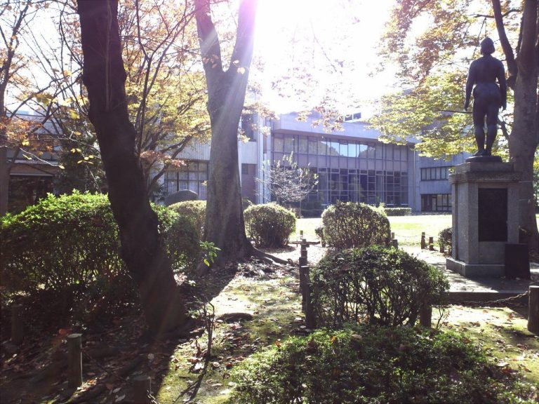
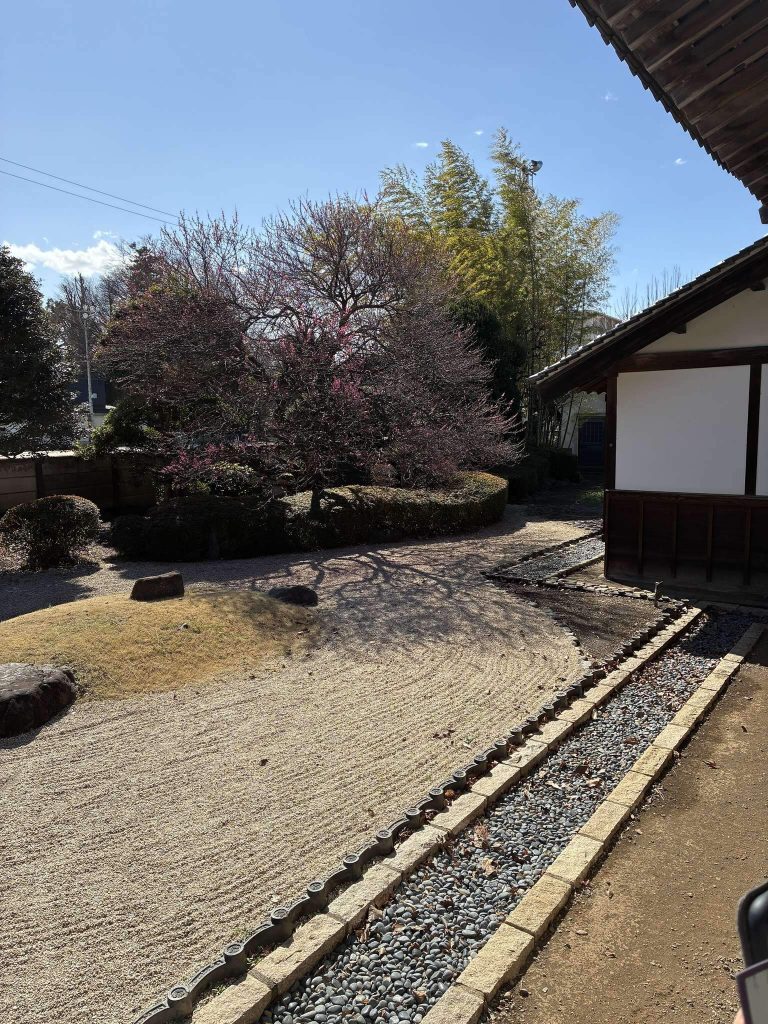
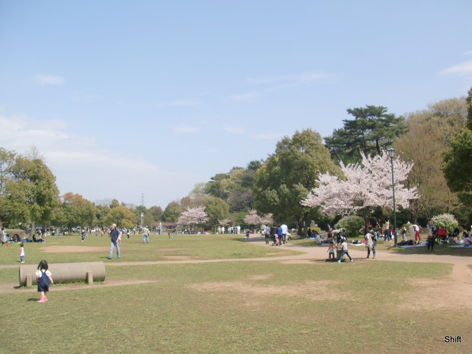
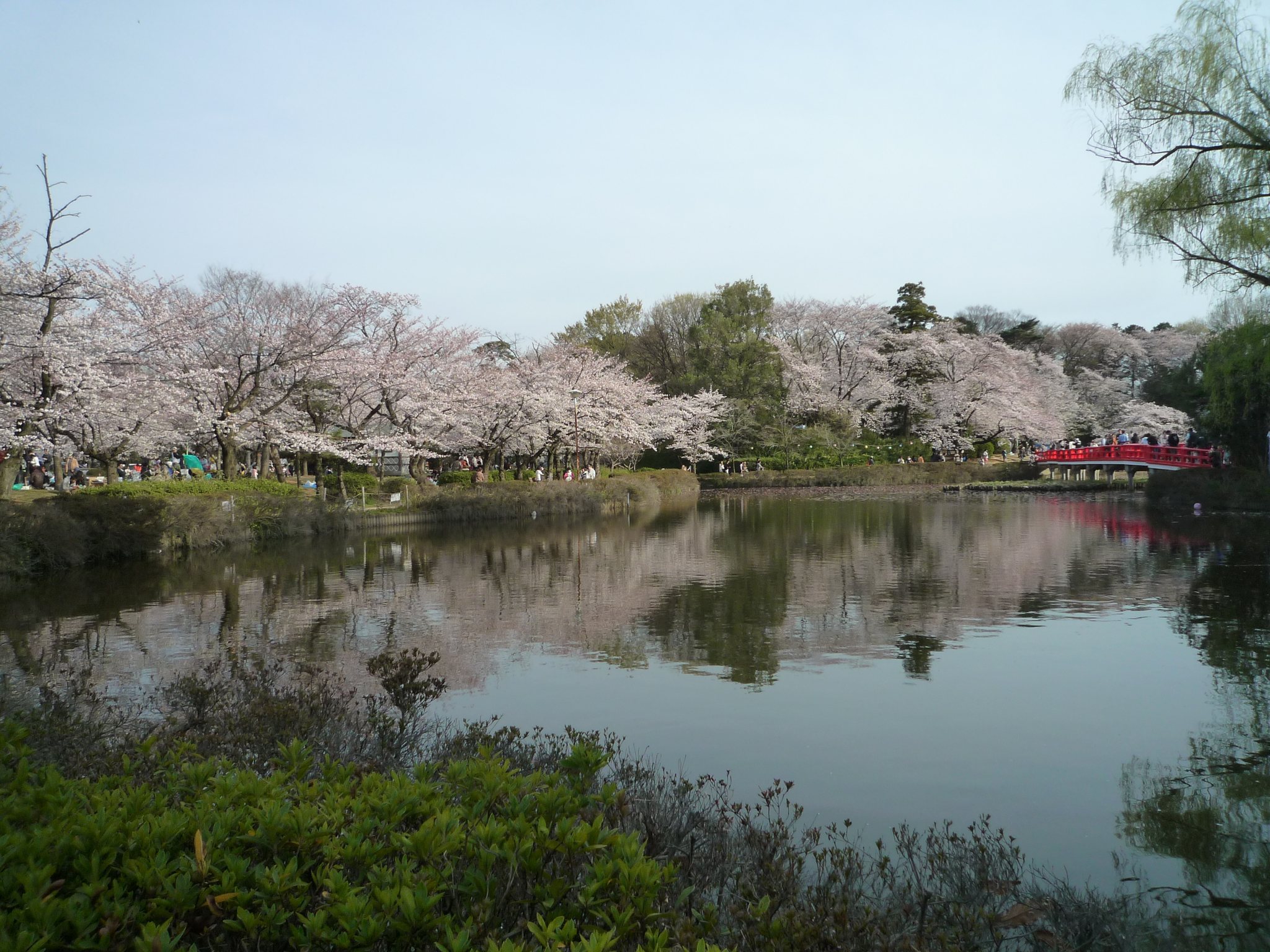
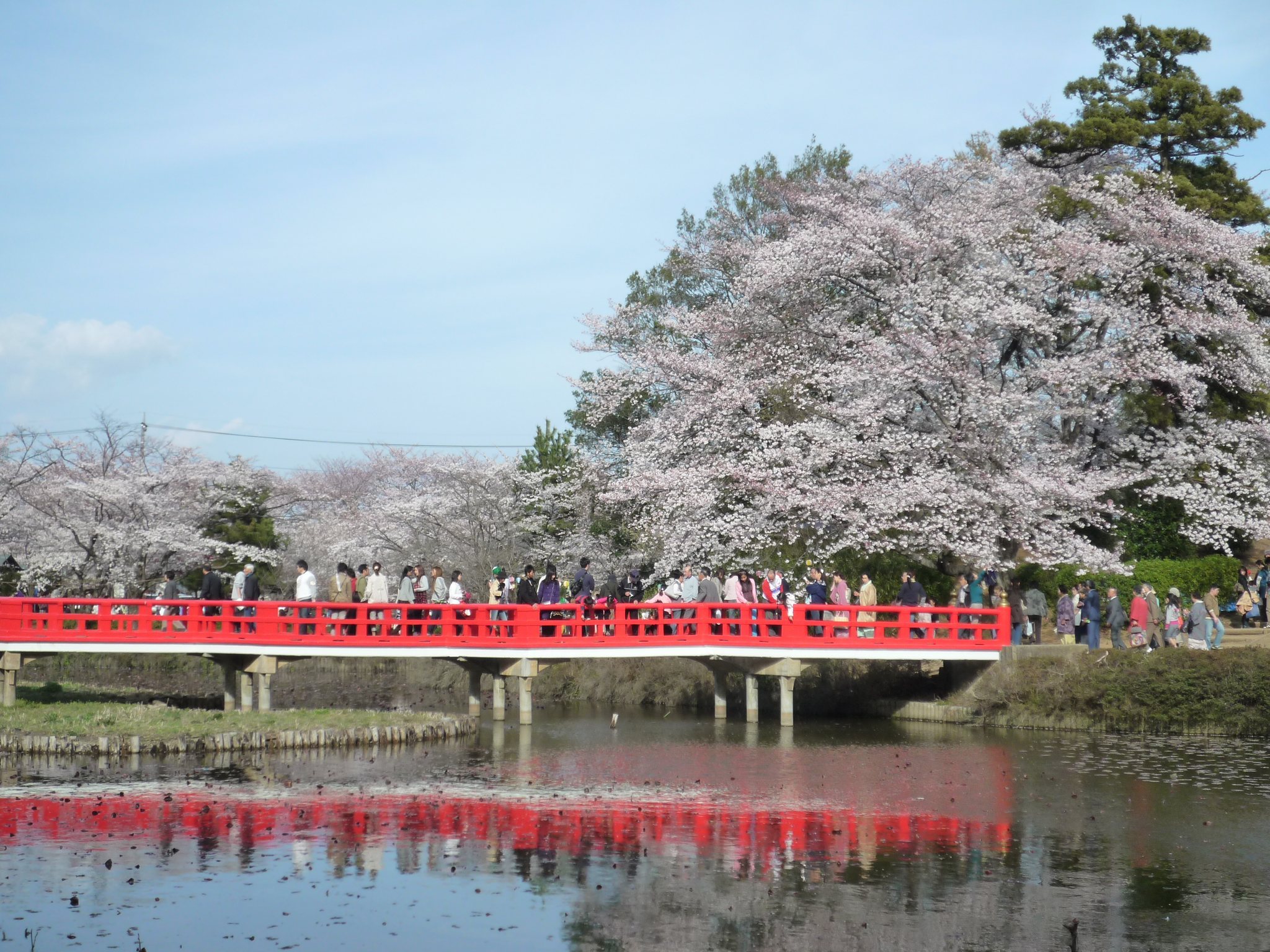
Iwatsuki Castle is now a Saitama Prefectural Historic Monument, and its surrounding outer enclosure is designated a Saitama City Historic Site. Iwatsuki Castle Park was developed as an urban park on part of the former grounds. It was first called Iwatsuki Park, but the words “castle ruins” were added after Iwatsuki City merged with Saitama City. The former castle area also gave its name to the present neighborhood of Honmaru, established in 1988.
Remains
Wetland defenses and castle layout
Iwatsuki Castle occupied a tongue-shaped upland on the Iwatsuki Plateau and used the surrounding wetlands as part of its defense. The former Arakawa River, now called the Moto-Arakawa, enclosed the site on the north and east, while marshes and moats protected the other sides. Broad swampy moats surrounded the main, second, and third enclosures, with a belt enclosure positioned between the river and marsh defenses. Flood-control works in the middle of the Edo period diverted the main Arakawa channel, leaving the present river farther from the castle.
Main and inner enclosures
The complex centered on the main enclosure, the second enclosure to its east, and the third enclosure to its south. Chaya, Tenjin, Takezawa, Shinshoji, and Shin were among the other named enclosures. The main enclosure occupied about 8,930 square meters in the northeastern part of the castle. Earthen ramparts and moats bounded it, with a marsh to the northeast and moats separating it from the other enclosures toward the southwest. The Kurumabashi guard post served as an important checkpoint.
Outer enclosure and gates
The outer enclosure, or ogamae, surrounded both the castle and its town. Its circumference was approximately 8 kilometers, and its defenses consisted, from inside to outside, of an earthen rampart, a moat, and a road. During the Tenpo era, the area within this enclosure measured about 997,293 square meters, compared with approximately 109,560 square meters for the inner castle area.
Six gates and seven wooden wickets controlled movement through the castle. The Onari Gate stood near the Chaya Enclosure and was associated with journeys by the shoguns to Nikko. The Ote Gate included a horse sortie enclosure, a projecting defensive space that allowed mounted forces to emerge while controlling passage through the entrance. Surviving elements of the castle include gates, earthen bridges, dry moats, ramparts, and other horse sortie enclosures.
Towers and surviving gates
Castle towers
Iwatsuki had no conventional keep. Instead, the main enclosure contained a two-story, two-level tower with a tiled roof, a two-story, two-level tower with a shingle roof, and a single-story, single-level Kushigata tower with a shingle roof. These structures formed the castle’s principal tower group within the defended inner area.
Relocated gates
The Black Gate and Rear Gate survive after relocation to Iwatsuki Castle Park. The Black Gate was temporarily moved to serve as the main entrance of the Saitama Prefectural Government offices in Urawa before being transferred back to Iwatsuki and relocated again. Two other gates also survive in relocated form.
A surviving residence gate associated with the castle is a wooden, single-story, tile-roofed nagayamon, a gatehouse incorporating a long attached range. Its traditional relocation from Iwatsuki Castle is considered highly credible.
Castle town and surviving landscape
The castle town extended southwest from the castle. Samurai residences occupied the area next to the plateau, while merchant districts spread farther southwest, west, and southeast. Temples stood along the outer edges of the merchant districts and at important points of the outer enclosure. In the medieval period, the castle lay along the Okudai-dō route, identified with the central route of the Kamakura Highway and the Oshu Highway. During the early-modern period, it stood along the Nikkō Onari Highway.
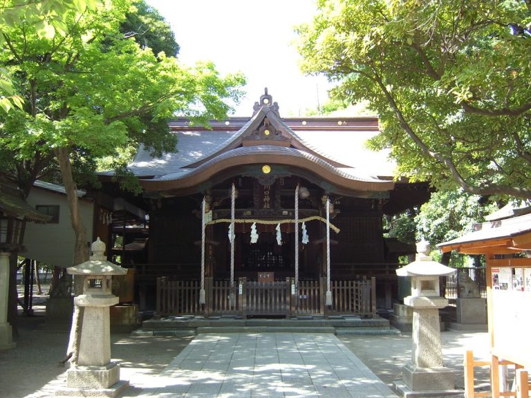
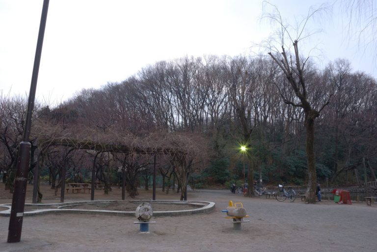
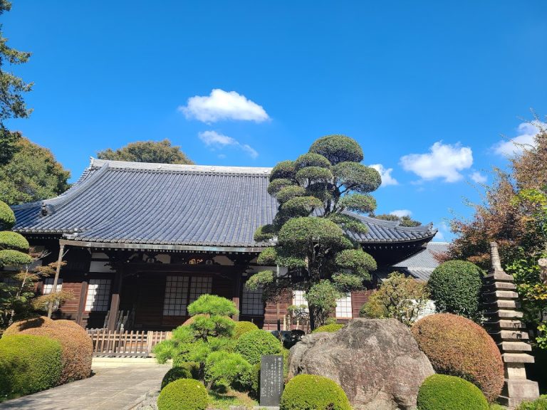
Iwatsuki Castle Park covers approximately 14.54 hectares within a planned area of 17.9 hectares. It retains sections of castle earthworks and dry-moat traces, although some surviving earthwork and moat sections are occupied by religious facilities. The main enclosure has been built over by residential development, and portions of the former moats and marshes have been reclaimed.
An eighteenth-century illustrated plan, the Comprehensive Map of Iwatsuki Castle, Samurai Residences, and the Castle Town, preserves a record of the castle and its surrounding settlement. The colored work is painted on paper folded into seven vertical and eleven horizontal sections, providing a detailed representation of the historical castle area and its town.