Vana-Antsla Vassal Castle: A Medieval Stronghold in Estonia
Site at a Glance
- Rating
- 4.2
- Popularity
- Very Low
- Country
- Estonia
- Primary era
- Medieval
- Eras represented
- Medieval, Early Modern, Modern
- Civilizations
- Crusader, Polish–Lithuanian Commonwealth, Russian
- Site type
- Military
- Remains
- Castle
On this page12 sections
History
Vana-Antsla Vassal Castle in Estonia was a medieval fortified residence and administrative centre of the Uexküll family, built as one of the southern defensive strongpoints of the Tartu Bishopric. Known as Anzen in German, it stood near routes linking Pskov with Otepää and the territories of the Livonian Order, a military-religious organisation that controlled neighbouring parts of Livonia. The castle formed part of a defensive chain that also included Vaabina and Sõmerpalu, while other fortified sites guarded routes toward Pskov, Koivaliina, and Aluliina.
The Uexküll estate and the Tartu Bishopric
The Tartu Bishopric was a medieval ecclesiastical principality ruled by a bishop, who granted lands and castles to vassals in return for service. A document dated 17 May 1338 names Johannes the Younger Uexküll as a bishopric vassal, followed by the knight Nicolaus Uexküll. An inheritance charter of 3 March 1376 lists Anzen among the Uexküll estates re-enfeoffed by Bishop Heinrich I von der Velde to Henneke, Hermann, and Otto Uexküll.
In the same year, Hermann and Otto acquired Henneke’s inherited share in joint ownership after paying the bishop 2,000 Riga marks and 36 shillings. Otto received Pühajärve, while Hermann received Antsla. In 1398, Bishop Dietrich III Damerow granted the damaged Otepää episcopal castle and its lands to Hermann and Otto, who apparently already controlled the Antsla lands and estate. The castle itself is first explicitly mentioned in 1405.
On 15 January 1419, Otto, Bertram, and Claus Uexküll divided the inheritance of Hermann and his uncle Otto. Antsla’s principal estate went to Otto and Bertram, while Claus received Mõniste or, in another record, Pühajärve. Claus later disputed the arrangement with his brothers. The family also transferred parts of the estate: Bertram sold Seskulli village and its lands in 1437, while Otto pledged Mustametsa and the Tsargo district with Möndesi village in 1449.
Expansion under Peter and Wolmar Uexküll
During the second half of the fifteenth century, Antsla belonged to Peter von Uexküll, an active organiser and builder in the bishopric. The castle was probably strengthened and developed into a more substantial fortified centre during his tenure. On 25 July 1477, Bishop Johannes II Bertkow granted Peter and his cousin Wolmar Uexküll Antsla and Pühajärve jointly for 1,000 old marks.
In 1482, Peter transferred his feudal rights over all his possessions to Wolmar. Peter died without heirs in 1483, and the bishop confirmed Antsla to Wolmar in 1484. The site’s later protected designation identifies the castle remains as a fifteenth-century castle site, while the archaeological cultural layer is protected separately.
War, destruction, and changing ownership
In 1529, Johann Uexküll sold Antsla to Reinhold Taube, provoking a dispute among local parties. Johann’s wife protested to Bishop Johann VI Grey, and the transaction was apparently reversed. In 1542, Johann and his brother Otto divided their father’s inheritance, with Otto receiving Antsla.
The Livonian War, fought from 1558 to 1583 by Muscovite, Polish-Lithuanian, Swedish, and other forces over control of Livonia, brought military danger to the estate. In early 1558, eleven horsemen serving Ivan IV of Russia, the tsar whose forces invaded Livonia, approached Antsla intending to burn it. Thirteen retainers of Otto Uexküll fought them near the estate, killed the attackers, and seized their horses.
After Moscow had controlled the Tartu Bishopric for a prolonged period, many regional castles and estates lost their owners and passed to the Polish crown following the 1582 Jam Zapolski truce, which ended the war between Muscovy and the Polish-Lithuanian Commonwealth in this region. Otto Uexküll’s request in 1583 to King Stephen Báthory for the return of his castles and estates was rejected.
In 1588, King Sigismund III Vasa granted Antsla to Georg Schenking, the castellan of Cēsis and economic administrator of Tartu. A castellan administered and defended a castle, while an economic administrator managed a ruler’s estates and revenues. Schenking strengthened Antsla with walls and earthworks that year. On 6 March 1599, Johann Uexküll, probably Otto’s son and the legitimate heir, formally surrendered his remaining claims to Antsla to Schenking.
The castle changed hands during the Swedish-Polish and Swedish-Russian wars. Swedish forces captured it in 1600, Polish forces took it in 1601, and the Swedes recaptured it in 1602. The castle was probably destroyed that year.
Manor reuse and later history
In 1625, King Gustav II Adolf granted Antsla and the subsidiary estate of Jeberküll to his chamberlain Åke Tott, a Swedish nobleman and field marshal. After Tott’s death, Claudius Tott sold the estate to Dietrich Rigemann for 14,500 thalers on 31 March 1649. Rigemann was ennobled as von Loewenstern in 1650.
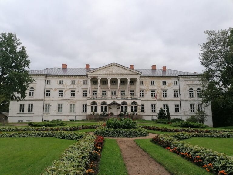
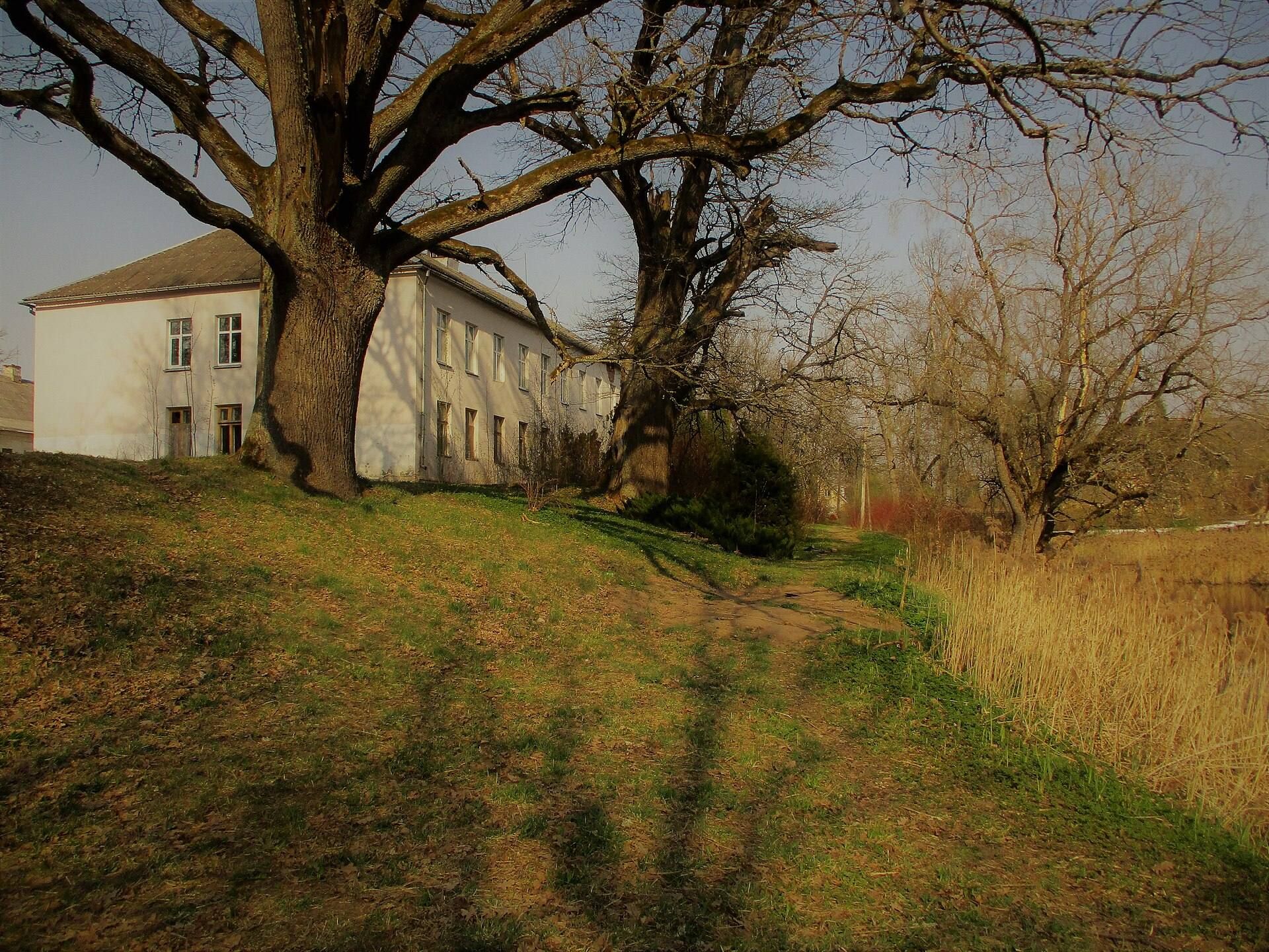
After Dietrich von Loewenstern’s death, the estate was divided into Vana-Antsla and Uue-Antsla. Vana-Antsla remained with the Loewenstern family through the eighteenth century, for a total of 234 years. Its manor main building probably took its initial form in the mid-eighteenth century, apparently incorporating elements that survived from the castle. During the nineteenth century, the building was extended at both ends and its exterior was somewhat altered.
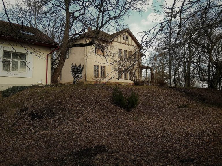
The von Ungern-Sternbergs acquired Vana-Antsla in 1883 and retained it until expropriation in 1919. An agricultural school later operated there, followed during the Soviet occupation by a state farm technical school. The former manor buildings now stand empty, while the castle remains and its archaeological cultural layer retain protected cultural-monument status.
Remains
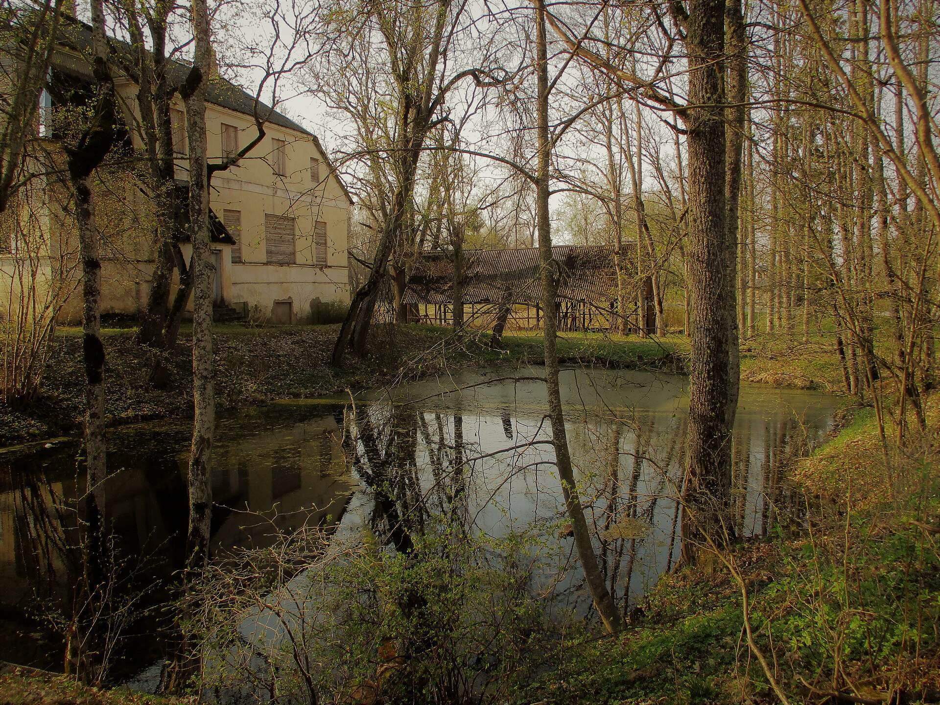
Vana-Antsla Castle occupied a peninsula between the Antsla River and Vastsekivi Stream. The castle and its archaeological cultural layer probably covered an area of about 130 by 200 metres. Water protected the peninsula on three sides, while the principal buildings were probably concentrated along the northern side, where the manor’s main building now stands beside the Antsla River.
Water defences and earthworks
Moats and ponds
A mill dam on the Antsla River created the Kõverjärv water body and filled the shallow river valleys to the north, west, and south. An artificial cut-off moat therefore had to be dug along the eastern side, where the ground was more vulnerable to attack. This eastern moat was about 100 metres long and approximately 20 metres wide.
Another dam or mill was built on Vastsekivi Stream near the southeastern corner and beside the access road. It created an additional pond-like water defence and narrowed the likely attack sector on the eastern side. A watermill stood about 50 metres southeast of the southeastern corner, and the stream flowed from there into the southern moat or the southern inlet of Kõverjärv. The northern, western, southern, and eastern moat sections survive as parts of the site, together with the northern inlet of Kõverjärv and a small island in its northern part.
Raised castle area
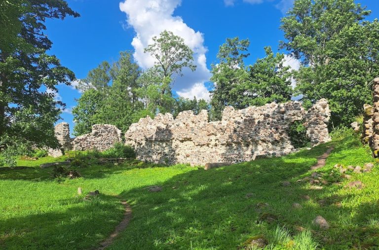
The rectangular upper-castle area was raised with ramparts. The southern rampart is approximately four metres high. If the enclosure was surrounded by a stone defensive wall, the complex may have been a water castle of camp-castle type, meaning a fortified enclosure protected by water and earthworks. Its entrance may have crossed the eastern moat at the centre or approached from the southeastern corner.
The access road probably followed the southern slope of the rampart. A lower outer-castle area may have extended west of the upper enclosure. Because Antsla was one of the Uexküll family’s principal centres in the Tartu Bishopric, the castle may have been more strongly built than other vassal castles. A fieldstone-lined corner at the northwestern corner of the upper-castle area and a projecting stone on the western side of the service building may indicate further foundations beneath the ground.
Manor buildings and medieval fabric
Main building
The former manor main building occupies the northern side of the upper-castle area. Its initial form probably dates from the mid-eighteenth century, when the estate was reused after the destruction of the medieval castle. The building was extended at both ends and altered externally in the nineteenth century. A large ceremonial staircase stands on its southern side, and a cellar room in or beside the building may derive from the medieval castle.
Service building
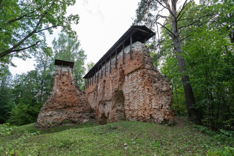
The former manor service building occupies the southern side of the upper-castle area. Its basement contains thick-walled, vaulted rooms supported by pillars, and the building may have served as a granary. Several medieval openings survive or are represented in this part of the complex, including brick-lined door and window openings, partly blocked openings, and a blocked former entrance.
The medieval cellar includes a blocked loophole in its western wall and a blocked doorway in its southern wall. A later opening was cut into the rebuilt medieval cellar doorway. These cellar features, together with the ramparts, moats, and possible buried foundation walls, preserve elements of the earlier fortified complex within the later manor site.