Harrows Scar Milecastle and Wall: A Roman Frontier Site on Hadrian’s Wall

Site at a Glance
- Rating
- 4.6
- Popularity
- Very Low
- Country
- United Kingdom
- Primary era
- Classical
- External website
- Open
- Eras represented
- Classical, Early Modern
- Civilizations
- Roman
- Site type
- Military
- Remains
- Fort
On this page12 sections
History
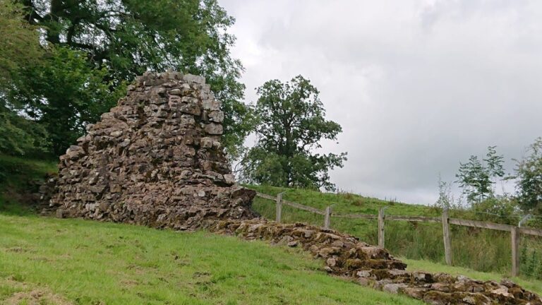
Harrows Scar Milecastle and Wall is a Roman frontier site in the United Kingdom, built as part of Hadrian’s Wall during the second century AD. Construction of the frontier began in AD 122 under the emperor Hadrian, whose reign lasted from AD 117 to 138. The site is especially important for understanding how the Wall developed from an initial turf barrier into a stone-built frontier.
The turf wall and its replacement
Hadrian’s original plan called for a stone wall from Wallsend to the River Irthing at Willowford, followed by a turf wall extending westward from Harrows Scar, also known as Milecastle 49, to Bowness-on-Solway. A milecastle was a small fortified enclosure placed along the Wall to control movement and house a small garrison. The turf wall and its milecastle at Harrows Scar were later replaced in stone.
The stone Wall between Harrows Scar and Milecastle 51 at Wall Bowers was rebuilt before the end of Hadrian’s reign in AD 138, and the milecastle was reconstructed at the same time. At Harrows Scar, the stone Wall followed a different line from its turf predecessor so that it could meet the northern corners of the stone-built fort at Birdoswald. This is the only known point where Hadrian’s Wall diverges from the line of its earlier turf predecessor.
Later Roman and post-Roman use
The milecastle probably remained occupied until the late fourth century. Its position beside an important crossing of the River Irthing helped maintain its value within the frontier system, although the Roman-period layers have survived poorly.
By 1603, the milecastle had been reused. A cottage and yard occupied land beside the Wall, and foundations of this post-medieval building were excavated in 1956. Earlier archaeological investigations included excavations at the milecastle in 1898 and 1953. The 1953 work identified parts of the earlier turf-wall milecastle. Investigations in 1945 located traces of Turret 49A, while Turret 49B was excavated in 1911.
Investigation and protection
Harrows Scar is now in the care of English Heritage and has been a Scheduled Monument since 14 July 1997. Its surviving remains have helped clarify the sequence in which the turf and stone forms of Hadrian’s Wall were built and altered.
Remains
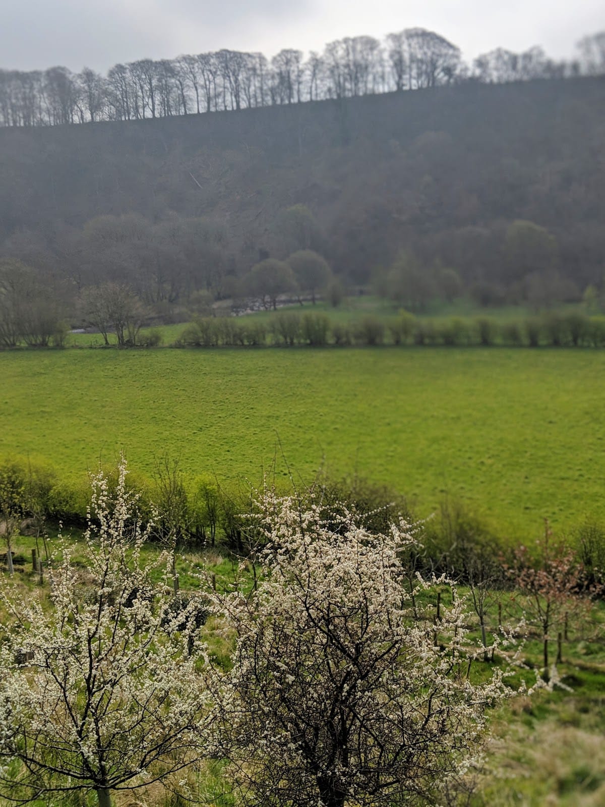
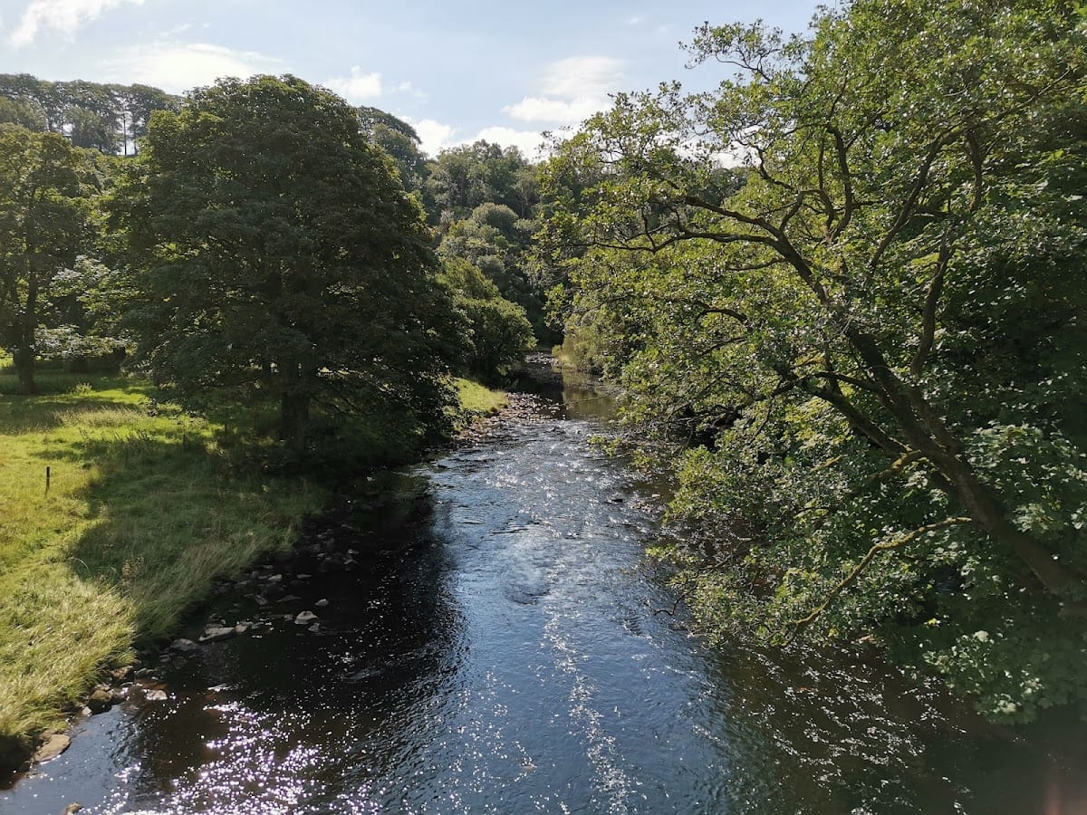
Harrows Scar Milecastle stands on the high western bank of the River Irthing, immediately west of the river gorge. The Wall crossed the river on a bridge at Willowford, whose opposite abutment remains across the river. The site therefore combines the milecastle with a stretch of frontier wall positioned beside an important crossing.
The earlier turf frontier
Turf-wall milecastle
The earlier milecastle was aligned with its short axis along the line of the Wall. Its turf walls measured 6.10 metres in width and enclosed an area approximately 14.46 by 15.24 metres. The walls stood on a level base, which elsewhere in the turf-wall system was formed from several layers of turf or from cobbles. The base of the Wall was normally about 6 metres wide, and its height has been estimated at about 3.66 metres. In some places, laid turves formed only the facing, while earth, clay, or other material made up the inner fill.
Turf-wall milecastles had gates in their northern and southern walls, with timber towers above the northern entrances. At Harrows Scar, any internal buildings were probably made of timber, following the construction pattern associated with this type of milecastle.
Turret 49A
Turret 49A was built with the turf Wall. It was later demolished when Birdoswald Roman Fort was constructed and stood on or near the fort’s headquarters building. Its position is known from the investigations carried out in 1945.
Turret 49B
Turret 49B stood about 340 metres west of Birdoswald’s west rampart. It replaced an earlier turret belonging to the turf-wall phase. When the stone Wall was built, the earlier turret was dismantled. The masonry of the later turret has been consolidated and exposed.
The stone milecastle and Wall
Stone milecastle
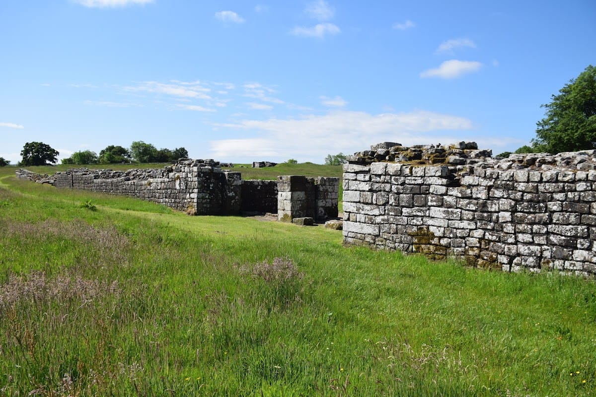
The stone milecastle measured approximately 19.8 metres from east to west and 22.9 metres from north to south internally. Its narrow-gauge defensive walls were bonded to the Narrow Wall curtain on both sides. The Narrow Wall was the narrower stone-built form of Hadrian’s Wall’s main curtain in this area, and the milecastle had Type III gateways, a recognised design classification for milecastle entrances.
The southern gate was later rebuilt and narrowed using hard white mortar associated with early third-century work on Hadrian’s Wall. This alteration incorporated a crudely carved stone showing Mars and Victory. Mars was the Roman god especially associated with war, while Victory represented military success in Roman religious imagery. The carved stone remains in place but is now buried.
Wall between Harrows Scar and Birdoswald
A surviving stretch of Hadrian’s Wall extends about 400 metres westward from Harrows Scar towards Birdoswald Roman Fort. It reaches up to 2 metres in height and retains Roman inscriptions and phallic symbols in the masonry. The surviving section preserves the later stone alignment that diverged from the earlier turf Wall in order to meet the fort.
Nearby sites