Fort Saint Anthony: A Portuguese and Dutch Trading Outpost in Ghana
Site at a Glance
- Rating
- 4.1
- Popularity
- Very Low
- Country
- Ghana
- Primary era
- Early Modern
- External website
- Open
- Eras represented
- Early Modern
- Civilizations
- Dutch, Portuguese
- Site type
- Military
- Remains
- Fort
On this page9 sections
History
Fort Saint Anthony is a Portuguese-built fort at Axim in Ghana, established in 1515 near the Ankobra River during the period of European expansion along the Gold Coast. The Gold Coast was the historical European name for the coastal region corresponding broadly to present-day Ghana, named for its importance in the gold trade. The fort controlled access to an inland route along the Ankobra and became an important Portuguese and later Dutch trading and military outpost, as well as a center of the slave trade.
Portuguese Foundations
Portuguese involvement at Axim began by 1503, when the governor of Elmina asked the king of Portugal to send construction materials to Captain Diogo d’Alvarenga for a trading post called the “House of Axem.” Local people destroyed this post. The Portuguese then established another position farther east, probably on the site of the present fort.
The fort founded in 1515 occupied a strategic promontory near the Ankobra River. The river provided an entry toward inland gold-producing areas, while the surrounding region supplied timber and cotton. Portuguese efforts to secure direct access to inland gold sources continued in the early seventeenth century. In 1623, they built a fortified outpost near the Ankobra, about 20 kilometres from Axim and close to present-day Bamianko, and developed a gold mine on Aboasi Hill about 8 kilometres from that outpost.
Dutch Rule and Regional Authority
Dutch forces captured Fort Saint Anthony from Portugal in 1642 and incorporated it into the Dutch Gold Coast. The Dutch expanded the fort and continued efforts to control the inland gold trade. Their Fort Ruychaver on the Ankobra was destroyed by its commandant five years after construction, following a conflict with local people.
As the westernmost fort in the Dutch possessions, Fort Saint Anthony was the first Dutch station encountered by traders arriving from the west. It supplied fresh water and provisions and, unlike many other Dutch possessions on the Gold Coast, remained occupied throughout the nineteenth century. The Dutch West India Company, the chartered company that administered Dutch colonial and trading interests in the Atlantic world, also attempted to develop cotton plantations at Axim after losing its monopoly on the slave trade in 1730.
The fort’s commandant exercised authority beyond the fort and the town of Axim. The 1642 Treaty of Axim claimed joint Dutch jurisdiction over nearby settlements, presenting this authority as inherited from the Portuguese. In November 1656, representatives of Gyommre, Abripiquem, Ankobra, Ebokro, Axim, and Encasser stated that they had longstanding alliances and had traditionally brought disputes before the commandant.
This wide jurisdiction appears to have grown from Portuguese attempts to regain access to inland gold sources that had increasingly come under Dutch control. Dutch authority over surrounding indigenous states continued into the nineteenth century. When the Dutch reorganized their Gold Coast possessions into districts in the late 1850s, the commandant became a resident. Julius Vitringa Coulon produced a map showing a jurisdiction resembling the area claimed in 1656. The commandant held the rank of oppercommies, a senior Dutch colonial office, and served on the Colonial Council at Elmina.
British and Ghanaian Periods
Britain acquired Fort Saint Anthony in 1872, when the Dutch transferred their Gold Coast colony. The British changed the installation from a military and trading post into a colonial administrative building. It subsequently housed administrative offices, a police station, a prison, and barracks.
British authorities restored the fort during the 1950s. After Ghana became independent in 1957, the building served as government offices and became state property. In 1979, Fort Saint Anthony was inscribed as part of the UNESCO World Heritage property comprising Ghana’s forts and castles. UNESCO, the United Nations Educational, Scientific and Cultural Organization, administers the World Heritage system for places judged to have outstanding cultural or natural importance. In 2013, the Zamani Project created a terrestrial three-dimensional laser survey, providing a permanent digital record for research, education, restoration, and conservation.
Remains
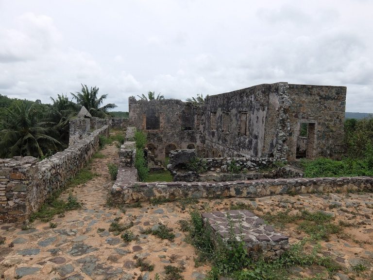
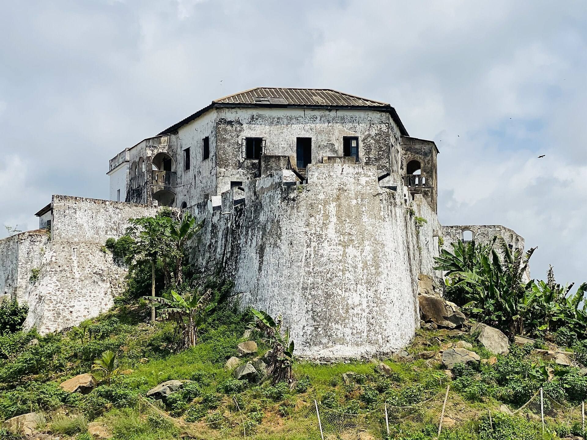
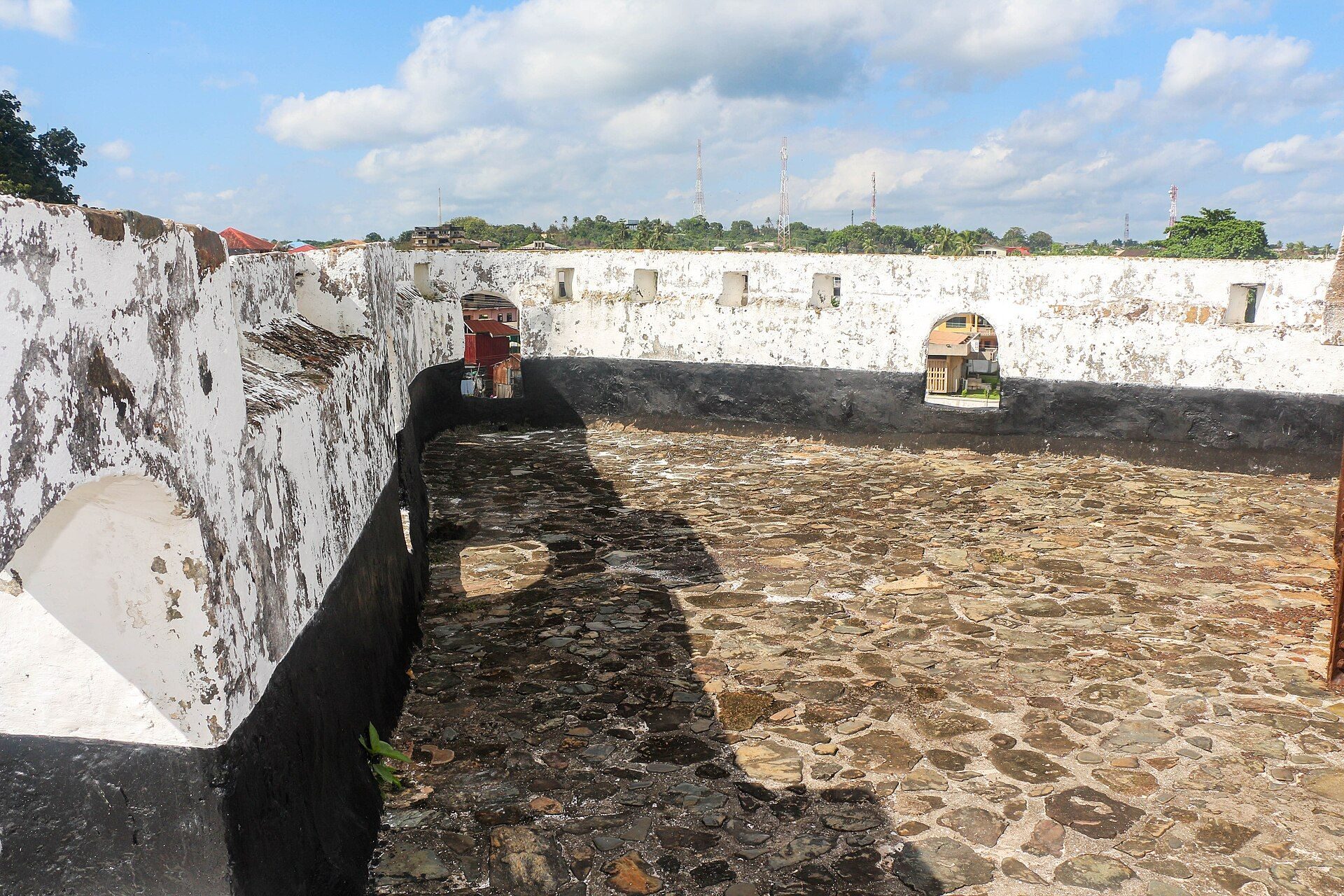
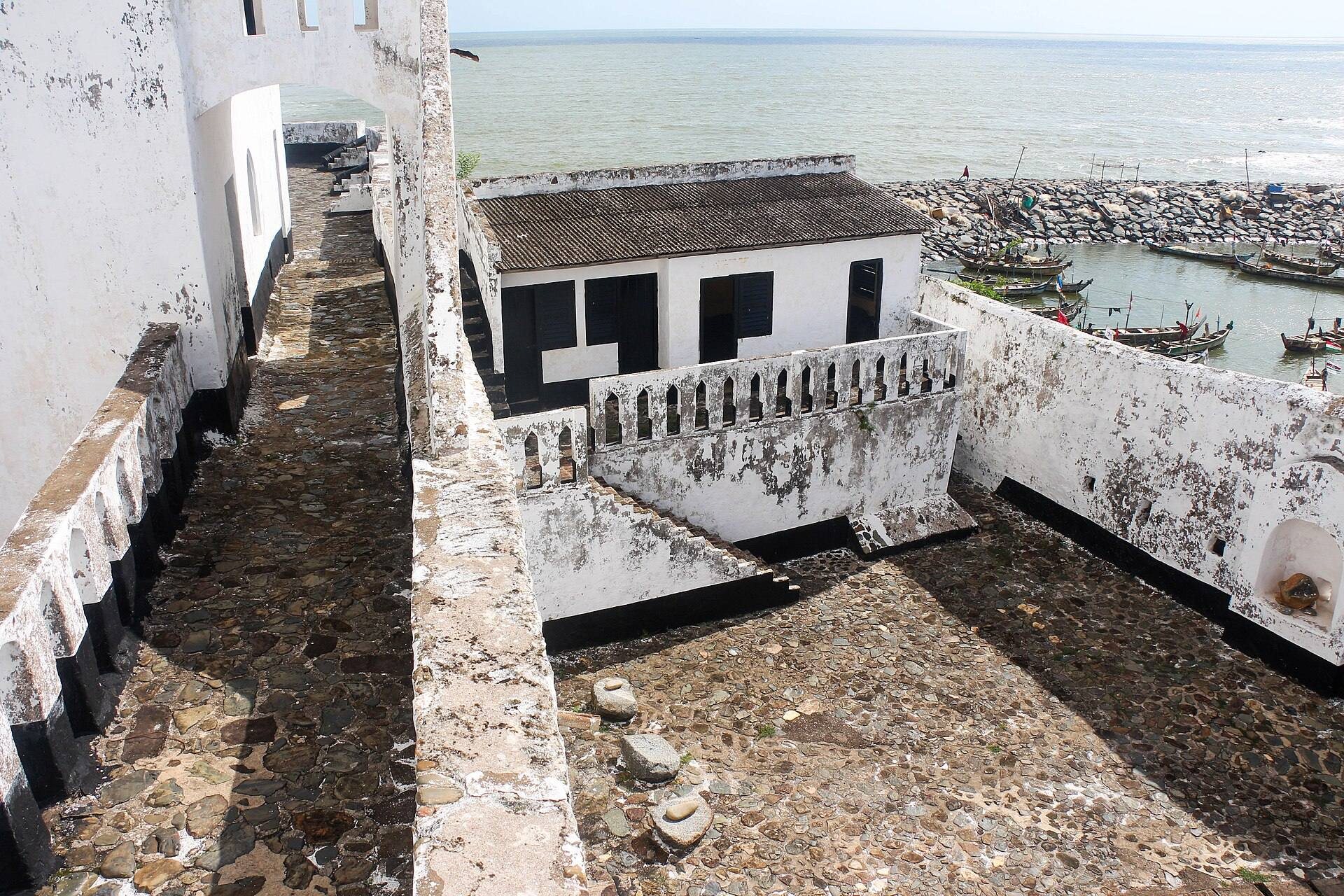
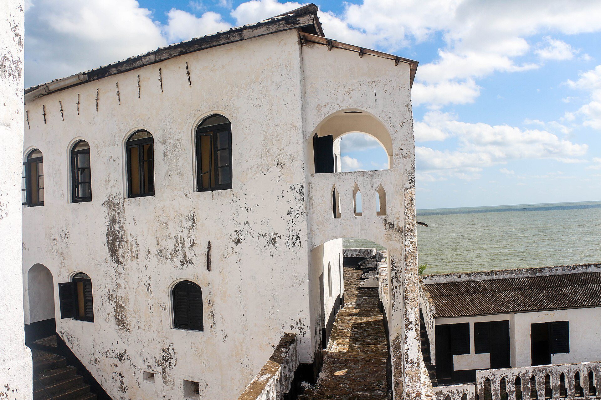
Fort Saint Anthony stands on a small promontory near the Ankobra River. Its unusual triangular plan encloses a narrow courtyard, while the surviving form reflects Portuguese beginnings, extensive Dutch rebuilding, later British adaptation, and repeated repairs.
Plan and Buildings
Triangular Fortification
The fort’s triangular outline and confined inner courtyard give it a distinctive arrangement. Some of the earliest Portuguese structures were made of mud. After taking control in 1642, the Dutch replaced these with brick buildings and enlarged the complex. Willem Bosman, a senior Dutch West India Company official, described the fort in 1701 after modifications had strengthened it against pressure from the Brandenburg African Company, a German chartered company with positions at nearby Princes Town and Akwidaa. The form described by Bosman is regarded as the fort’s definitive form.
Interior Buildings
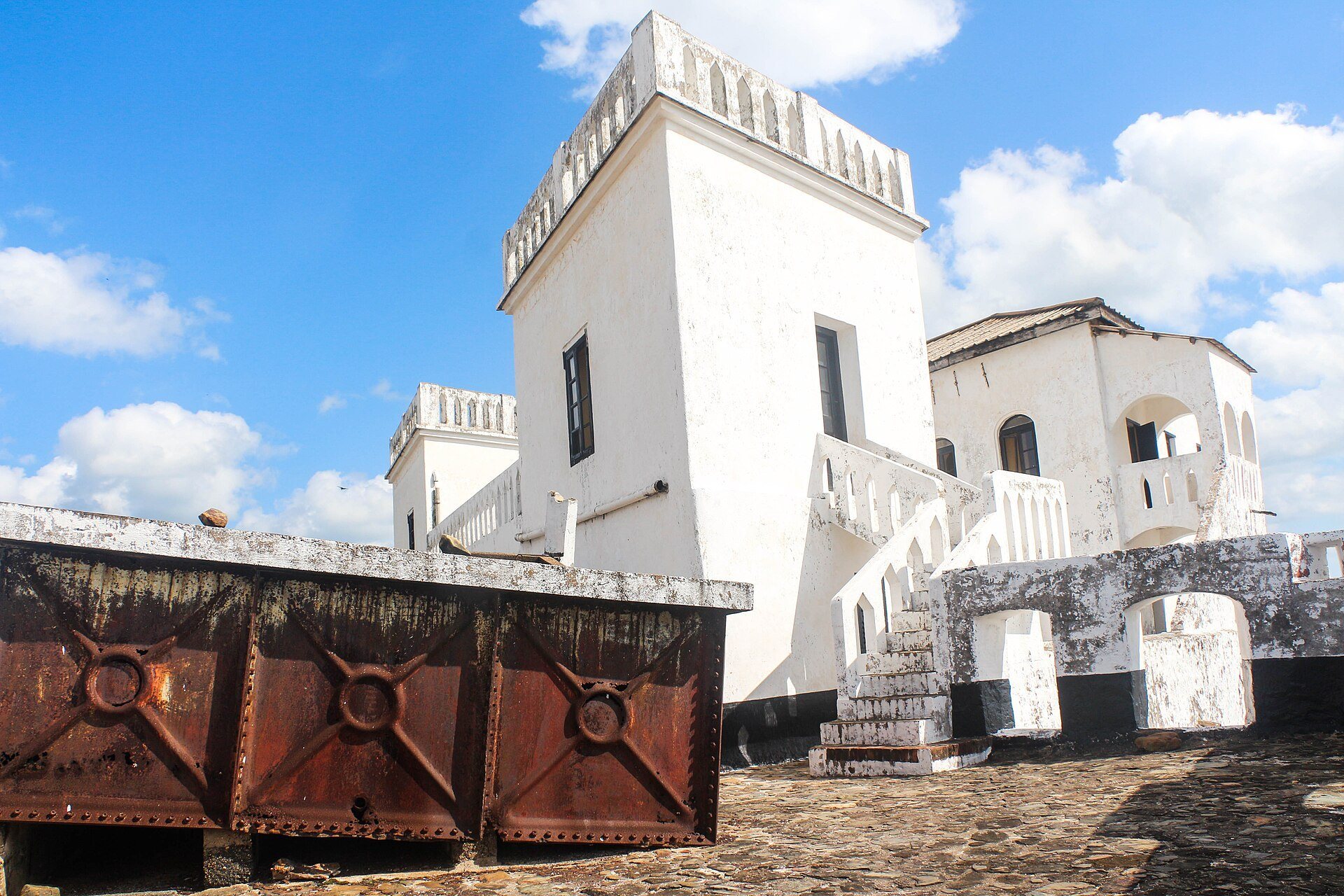
The original Portuguese fort probably contained only one building inside the enclosure. The Dutch likely added a second. Together, the two buildings contained several rooms, a kitchen, a stable, a storehouse, and barracks arranged around the inner service courtyard. British conversion later adapted spaces for offices, police use, imprisonment, and military accommodation.
Repairs and Digital Documentation
Fort Saint Anthony was repaired repeatedly over the centuries. Its main structural weakness was the roof, which was poorly suited to the region’s heavy rainfall. Leaks allowed water to penetrate the walls, leading to cracking and deterioration. The 2013 laser survey produced a three-dimensional model, a panoramic tour, and architectural plans, preserving the fort’s form in a detailed digital record.