Shibutani Mukaiyama Kofun: A Royal Tomb of Early Yamato Japan


Site at a Glance
- Rating
- 3.9
- Popularity
- Low
- Country
- Japan
- Primary era
- Classical
- External website
- Open
- Eras represented
- Classical
- Civilizations
- Yamato
- Site type
- Burial
- Remains
- Burial Mound
On this page13 sections
History
Shibutani Mukaiyama Kofun is a keyhole-shaped burial mound in Tenri, Nara Prefecture, Japan, built in the fourth century by the emerging early Yamato polity. A keyhole-shaped kofun is a monumental burial mound with a circular rear section and a projecting rectangular front section. The tomb belongs to the Yanagimoto subgroup of the Oyamato Kofun Group and is regarded as one of the great tombs associated with the early Yamato kingship.
Fourth-century construction
The mound was built later than Andonyama Kofun, although its precise date remains debated. Estimates place its construction around AD 321 to 340, in the middle of the fourth century, or in the latter part of that century. The Kofun period, which lasted chiefly from the third to the seventh century, saw increasingly centralized political authority in Japan. Its largest burial mounds are often interpreted as tombs of powerful regional or early Yamato rulers.
Shibutani Mukaiyama Kofun is the largest tomb in the Yanagimoto subgroup, the second-largest in Nara Prefecture, and the eighth-largest in Japan. It is also the largest known tomb of the early Kofun period. Together with Andonyama Kofun, it has therefore been considered a possible royal tomb of the early Yamato polity. The actual occupant remains unknown.
Imperial identification and changing traditions
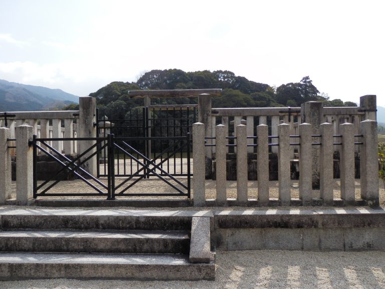
The Imperial Household Agency designates the mound as the mausoleum of Emperor Keiko, under the name Yamanobe-no-Michi-no-e-no-Misasagi, and manages it as an imperial mausoleum. Emperor Keiko and Emperor Sujin belong to the early imperial chronology of Japan, but assigning either ruler to a particular kofun remains a historical and archaeological question rather than an established fact.
Classical records place Emperor Keiko’s mausoleum at Yamanobe-no-Michi-no-e, while the tenth-century Engishiki, a compilation of administrative regulations and court rites that also lists imperial mausoleums, records a mausoleum with that name in Yamato Province. A record from 1200 connects the mausoleum with “Shibuya,” but the location tradition was later lost. In 1697, an Edo government investigation identified the mound as the tomb of either Emperor Sujin or Emperor Keiko. It was assigned to Sujin in 1855, and repairs began in 1864. Shortly before those repairs were completed in 1865, the designation changed to Emperor Keiko’s mausoleum. That identification continued through the Meiji period and afterward.
Modern investigation
The Imperial Household Agency’s Department of Archives and Mausolea investigated the site in connection with improvement works in 1971, carried out a preliminary investigation in fiscal year 1993, and conducted another from October to December 2015. Representatives of 15 archaeological and historical societies made an on-site investigation on 26 February 2016. These investigations also drew attention to three detached subsidiary mounds, Uenoyama Kofun, Maruyama Kofun, and Akasaka Kofun. Their relationship to the principal mound is archaeologically important, although they may not have had exactly the same character as subsidiary mounds associated with fifth-century tombs.
Remains
Principal mound and setting
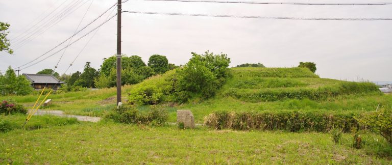
Keyhole-shaped mound
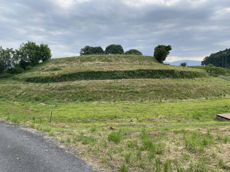
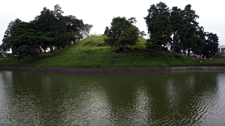
Shibutani Mukaiyama Kofun occupies the point where a ridge extending west from Mount Ryuozan changes slope, on the eastern edge of the Nara Basin. Its front section faces west toward the lower part of the slope. The mound is approximately 300 metres long. Its rear circular section measures about 168 metres across and rises 25 metres high, while the front section is about 170 metres wide and 23 metres high. The rear probably has four stepped tiers and the front probably has three. This stepped construction continues through the transition between the circular rear and projecting front sections.
Moat and historic road
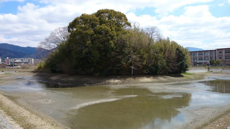
A moat surrounds the mound. Because the tomb stands on sloping ground, crossing embankments divide the waterway into six sections behind the mound and four in front. These embankments helped manage retained water, while embankments blocking valleys on both sides allowed water to enter the moat, which has been described as shield-shaped. Parts of the rear-side moat retain their original form. The front-side section was enlarged in the early modern period as an agricultural reservoir, and later changes affected at least some of the crossing embankments.
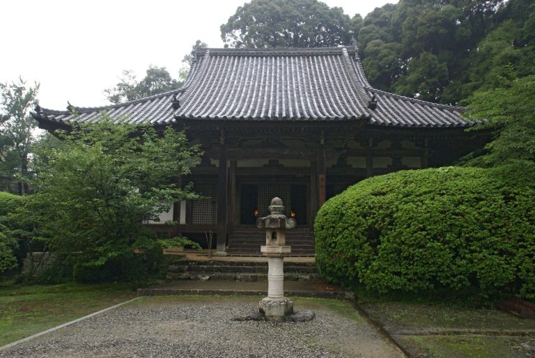
The Yamato Road passes the tip of the rear circular section. Numerous stretches of an uphill, stone-paved historic road survive along the route toward Andonyama Kofun. A facility resembling a projecting platform is visible at the southern foot of the rear section. The burial facility itself is unknown. The front section was substantially altered before repairs undertaken in the late nineteenth century because an Amida Hall and a Kannon Hall had previously stood there. Amida is a Buddha associated with Pure Land beliefs, while Kannon is a Buddhist bodhisattva associated with compassion.
Burial objects and haniwa
Investigations by the Imperial Household Agency recovered several types of haniwa, fired-clay objects placed around or on burial mounds. The finds include ordinary cylindrical examples, finned cylinders, and morning-glory-shaped forms, along with figural haniwa in lid and shield forms. A jasper pillow is traditionally said to have been found at the kofun in 1864, although its circumstances and provenance are uncertain. Weighing 24 kilograms, it has incised lines along its outer edge and sides. The pillow was designated an Important Cultural Property in 1961 and is held by the Kansai University Museum in Suita, Osaka.
Detached subsidiary mounds
Uenoyama Kofun
Uenoyama Kofun, the northern detached mound also known locally as Tennozan or Uenoyama, is itself keyhole-shaped and measures at least 144 metres in length. An excavation on its western front in 1994 identified a surrounding moat and recovered stone revetment, large quantities of haniwa, and wooden boards. Its haniwa resemble those from Shibutani Mukaiyama, while its main axis crosses the principal mound’s axis at right angles, indicating a strong relationship between the two mounds. Its date has been placed in the same period as Shibutani Mukaiyama, around the latter fourth century, or earlier than the principal mound based on a reconstruction of the former terrain. Mizuguchi Shrine stands at its western foot.
Maruyama Kofun
Maruyama Kofun, also called Taisho-yama or Maruyama, is a detached round mound. Its diameter is given as approximately 35 metres, although an alternative measurement of approximately 20 metres is also recorded.
Akasaka Kofun
Akasaka Kofun, also known as Ueyama or Akasaka Kofun, is a detached square mound. It measures approximately 35 metres on each side, with an alternative measurement of approximately 25 metres also recorded.