Akatsuka Castle: A Medieval Japanese Hill-and-Plain Castle in Tokyo
Site at a Glance
- Rating
- 3.7
- Popularity
- Low
- Country
- Japan
- Primary era
- Medieval
- Eras represented
- Medieval
- Civilizations
- Ashikaga shogunate
- Site type
- Military
- Remains
- Castle
On this page11 sections
History
Akatsuka Castle was a medieval Japanese castle in Japan, located in Akatsuka, Tokyo, and traditionally built in 1456 by a surviving member of the Chiba clan, a samurai lineage with political and military influence in the Kanto region. It was a hirayama castle, a fortified site built on a naturally elevated hill or terrace, although its scale was closer to that of a fort than a major castle. The stronghold occupied a strategic position beside the Arakawa River and the Kamakura Road, also called the Saitama Road.
Traditions and early history
Akatsuka Castle was also known as Chiba Clan Castle and Shiroyama. Tradition places its construction after a member of the Chiba main line fled from Ichikawa Castle to Musashi following conflict within the clan. Another tradition connects the area with Minamoto no Yoritomo, founder of the Kamakura shogunate and Japan’s first shogun, who is said to have stopped there after raising his army while passing through Tokumaru. The earlier history of the castle remains uncertain.
Akatsuka Township had originally belonged to Ashikaga Tadayoshi, a leading fourteenth-century Ashikaga military official and younger brother of shogun Ashikaga Takauji. After the Kanno Disturbance, a conflict within the Ashikaga political order, the township passed to the Shibukawa clan, an Ashikaga-affiliated warrior family involved in regional administration. Shibukawa Sachiko, the wife of the second Ashikaga shogun Ashikaga Yoshiakira and adoptive mother of the third shogun Ashikaga Yoshimitsu, later donated the township to Rokuo-in, a temple established by Yoshimitsu.
The Chiba claim and Muromachi conflict
During the Kyotoku War, Shibukawa Yoshikane entered Warabi Castle as an aide to Ashikaga Masatomo, an Ashikaga prince who held the office of Horikoshi Kubo. The Koga Kubo and Horikoshi Kubo were rival Ashikaga-based offices and factions competing for control of the Kanto region. Yoshikane then began administering Shibukawa holdings in Musashi directly.
After the Chiba clan’s internal conflict destroyed the main family, a surviving main-line member who had fled to Musashi received Akatsuka Township from the Shibukawa administration. The grant was probably treated as land provided for military service, on the grounds that the territory had originally belonged to the Shibukawa clan. Rokuo-in challenged the grant before the Muromachi shogunate, the Ashikaga military government that ruled much of Japan from the fourteenth to the sixteenth century. In 1462, the shogunate ordered the Chiba claimant to leave, but he apparently remained because warfare in the region continued.
Strategic role and abandonment
The castle overlooked a shallow rapid and crossing on the Arakawa River to the north. From this position, it controlled both land and water transport, as well as the Kamakura Road between northern and southern Musashi. Its influence extended toward the routes leading to Shimo-Akatsuka and Ekoda.
The Musashi branch of the Chiba clan later became an important retainer of the Later Hojo clan. In 1590, Toyotomi Hideyoshi, the military ruler who unified Japan, destroyed the Hojo in his campaign against Odawara. The Chiba lands were then confiscated, and Akatsuka Castle was abandoned.
The ruins now form part of Tokyo Metropolitan Akatsuka Park. The site is listed in Itabashi Ward’s inventory as archaeological land containing buried cultural properties, under number 28. It is not designated or registered by a local authority as a historic site. Apart from Edo Castle, it retains more surviving defensive features than any other castle site in Tokyo’s 23 wards. A stone monument marks the former main enclosure.
Remains
Akatsuka Castle occupies a low hill on a terrace at the northeastern edge of the Musashino Upland. Its northern side faced Tokumarugahara, a wetland, while the main enclosure stood on the elevated ground above it. The surviving layout is defined by defensive banks, ditches, steepened slopes, and the pond traditionally identified as the inner moat.
Main enclosure and defensive earthworks
Main enclosure
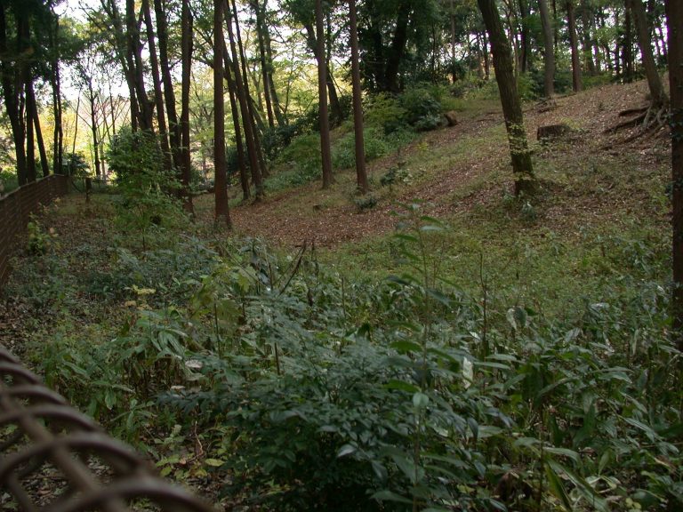
The main enclosure survives on the hilltop area and is identified by a stone marker. The castle had no tower. Its defenses instead relied on earthen ramparts, dry moats, a water moat, transverse ditches crossing or separating parts of the site, longitudinal ditches running down slopes, and cut slopes artificially steepened for defense.
Moats and slopes
These earthworks show how the small stronghold used the natural terrace and the wetland below it. The combination of raised banks, excavated ditches, and steepened ground created successive obstacles around the principal enclosure. The surviving defensive features provide the clearest physical evidence of the castle’s fort-like character.
Foot of the hill and later landscape
Akatsuka Tameike pond
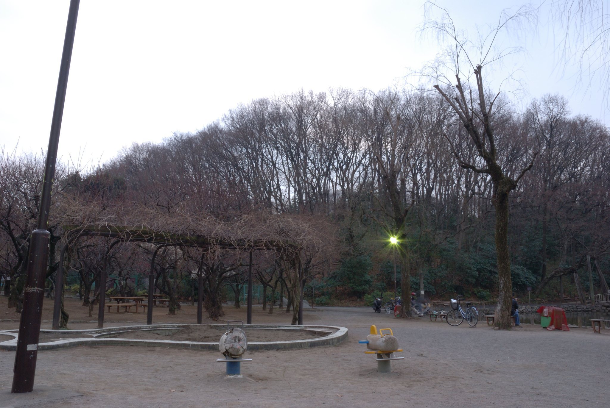
A pond at the foot of the hill is traditionally identified as the castle’s inner moat. After surrounding land was cultivated from the Meiji period onward, the pond supplied agricultural water. It is now used for recreational fishing and is associated with Akatsuka Tameike Park, where the Akatsuka Plum Festival is held annually in early March.
Park and adjoining sites
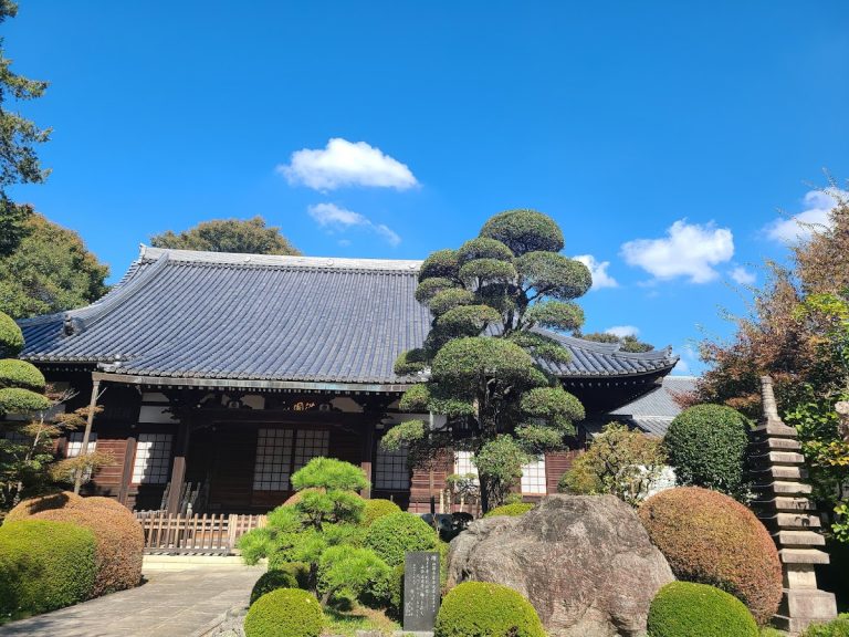
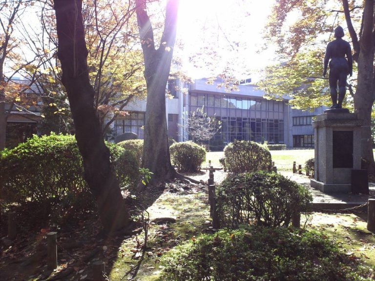
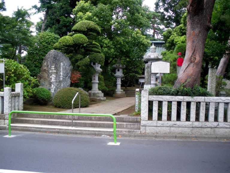
The castle hill has been landscaped within the metropolitan park, with an open area, a plum grove, and rows of cherry trees. Akatsuka Tameike Park, the Itabashi Ward Folk Museum, and the Itabashi Art Museum adjoin the foot of the hill. The area traditionally identified as the former second enclosure is occupied by Akatsukayama Jorenji, known for its Tokyo Daibutsu, and the Akatsuka Botanical Garden lies within a few minutes’ walk.