Kostobe: A Medieval Sogdian Urban Settlement in Kazakhstan
Site at a Glance
- Rating
- 4
- Popularity
- Very Low
- Country
- Kazakhstan
- Primary era
- Medieval
- Eras represented
- Medieval
- Civilizations
- Sogdian
- Site type
- City
On this page12 sections
History
Kostobe is a sixth- to twelfth-century urban settlement in Kazakhstan, about 15 kilometres north of Taraz in the Talas River valley. It is identified with Jamukat, also called Hamukat, a medieval Sogdian city associated with Iranian-speaking communities whose merchants helped sustain long-distance trade along the Silk Road. The settlement’s surviving fortifications and urban remains place it among the important archaeological sites of the Talas region.
Foundation and name
The tenth-century historian Narshakhi attributed Jamukat’s foundation in the sixth century to people from Bukhara, including Sogdian nobles and wealthy merchants. They had left because of the harsh rule of Abruy, the Bukharan ruler, and sought land from the supreme Turkic khagan. After receiving permission, they established a new city near Taraz in the Talas valley.
Narshakhi connected the name Hamukat with Hamuk, the leading dihqan of the migrants. A dihqan was a member of the landed or local aristocracy in the Iranian and Central Asian world. The ending kat meant “city,” so the name preserved a memory of the settlers’ Bukharan origin and their leader.
Identifying Jamukat
The location of Jamukat was debated for many years. Vasily Bartold established that the city belonged in the Talas valley rather than beside the Syr Darya. Alexander Bernshtam proposed Maitobe or Beshagach, but the size of those sites was considered inadequate for a major city. Kostobe was later identified with Jamukat because its topography and urban arrangement correspond to other Sogdian cities in Semirechye.
The Arab geographer al-Muqaddasi included Jamukat among the cities of the Isfijab region. He described a large walled city with a congregational mosque and markets in the rabat, the outer urban area where commercial and craft activity commonly took place. This description places Jamukat within the urban and regional network of medieval Central Asia.
Medieval development and later use
Excavation has revealed successive building phases from the sixth through the twelfth centuries. The citadel palace remained in use with repeated rebuilding between the eighth and twelfth centuries. The settlement was destroyed in the twelfth century, after which the citadel served as a cemetery from the thirteenth century. This later use disturbed the upper building levels and altered the archaeological remains.
A. N. Bernshtam began archaeological research at Kostobe in 1938. The Taraz Archaeological Expedition, led by K. M. Baipakov, carried out excavations from 1985 to 1987 through the Institute of History, Archaeology and Ethnography of the Academy of Sciences of the Kazakh SSR. Kostobe entered the UNESCO World Heritage property “Silk Roads: the Routes Network of Chang’an–Tianshan Corridor” in 2014. Kazakhstan also recognizes it as a monument of history and culture of republican significance.
Remains
Fortified settlement
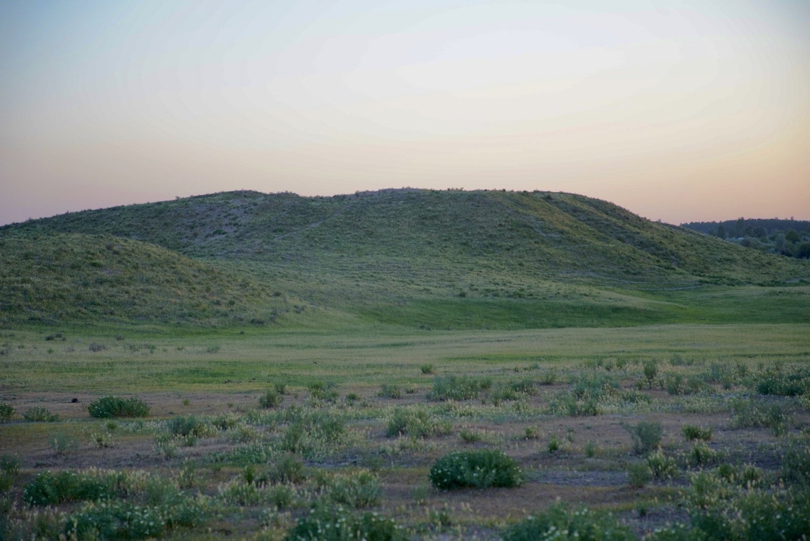
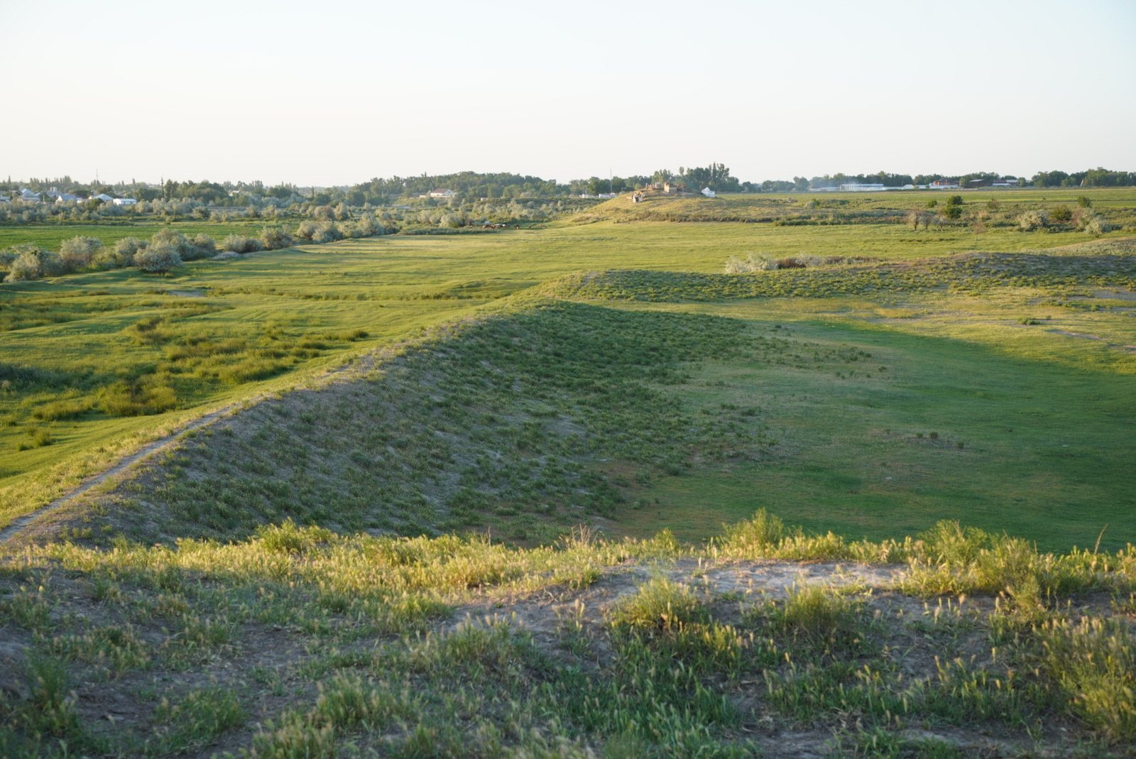
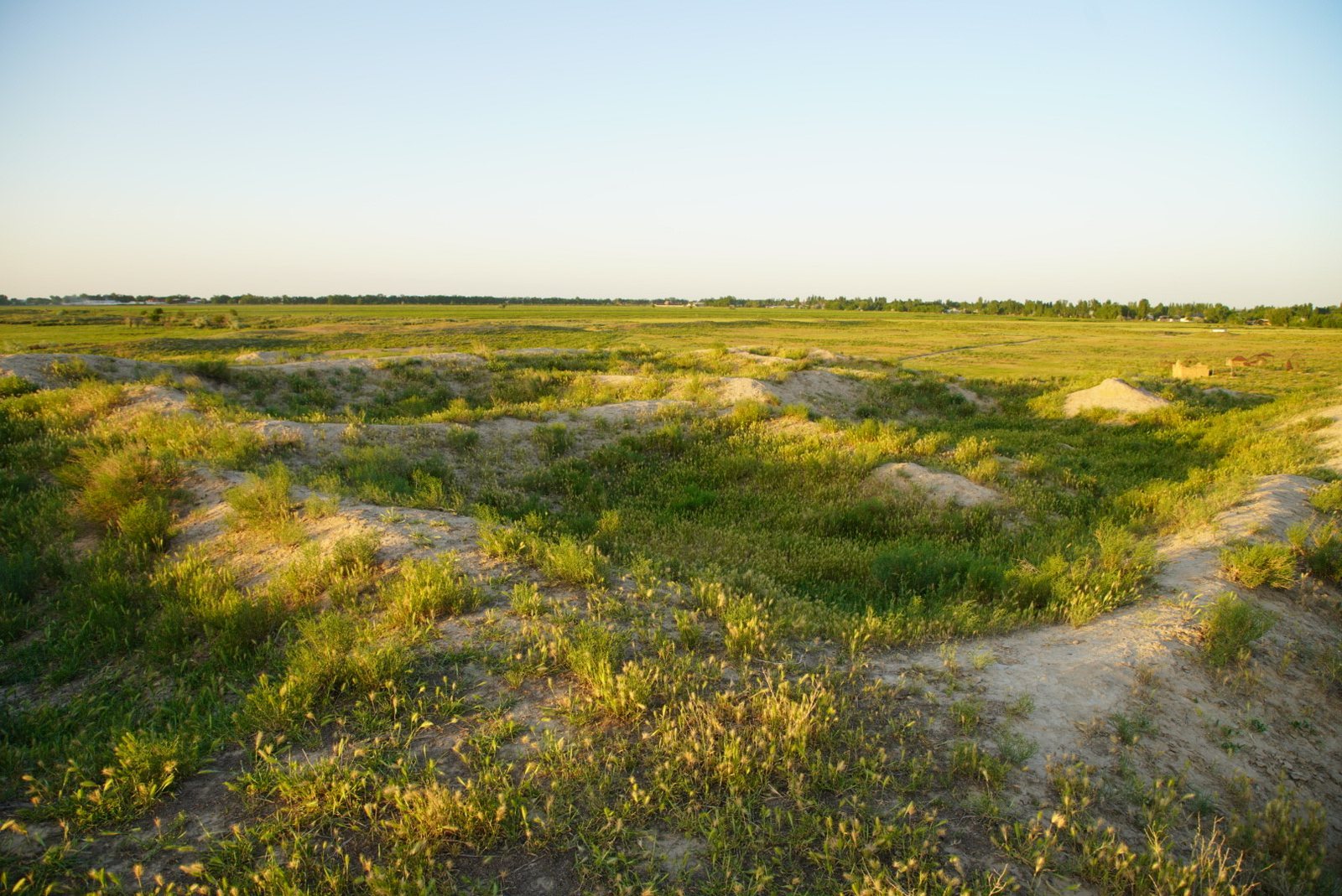
Kostobe occupies a roughly square mound measuring about 420 by 450 metres. Double defensive walls enclosed the settlement, with towers and ditches forming part of the fortification system. Surviving outer-wall sections rise approximately 3 to 3.5 metres, while the projecting towers extend 16 to 18 metres beyond the walls. Four entrances led into the city, and their positions are represented by breaks in the surviving defenses.
Citadel and palace
The central elevated zone formed a citadel about 150 metres square. Its upper platform measured approximately 30 by 40 metres and stood 12 to 15 metres above the surrounding ground. A gate in the western wall provided entry to this fortified center.
Within the citadel stood a palace complex containing more than 20 rooms. Most walls were made from unbaked brick, air-dried mud brick, while one wall used pakhsa, a construction material formed from compacted earth or mud. The central hall measured 9.5 by 8.2 metres, and a ceremonial room measured 8 by 14 metres. Hearths survived in several rooms.
The earliest citadel complex belongs to the sixth through eighth centuries. It consisted of a fortified castle with circulation corridors and residential and service rooms, constructed from pakhsa blocks and unbaked brick. During major replanning in the ninth and tenth centuries, the circulation gallery was divided into separate compartments or rooms. Corridors linked these spaces with residential, ceremonial, and religious rooms, reflecting a changed arrangement of the palace interior.
Religious buildings
The richly appointed interior of the citadel, together with a hearth in one excavated hall, indicates a sanctuary connected with fire worship. Another fire temple stood about 200 metres north of the shahristan, the principal settled urban area of a Central Asian city, distinct from the citadel and the outer rabat. The temple occupied a separate domed mound about 80 metres across and 15 metres high.
Excavations also uncovered an eighth- or ninth-century fire-worship temple whose buildings included decorated panels. Their ornament resembles work associated with Varakhsha and Afrasiab. A figurine of the Buddha found among the excavated objects adds another religious element to the material recovered from the settlement.
Cemeteries and funerary remains
Necropolis 1
Necropolis 1 lies north of the city gates. It consists of a subrectangular mound with a distinct oval hill measuring 10 by 7 metres and rising 5 metres high. An adjoining platform, 20 metres on each side, extends along its eastern and northern sides.
Necropolis 2
Necropolis 2 stands 70 metres northwest of Necropolis 1 and adjoins the northern part of the outer rampart. Its roughly triangular mound contains separate domed rises. Most of its burials were placed in naus, rectangular or square funerary buildings made from unbaked brick. Other interments occupied large ceramic vessels, passages between the naus, or simple earth pits.
Objects and surrounding settlement
Finds from the cemeteries and urban area include bronze and silver rings, earrings, plaques, belt buckles, ceramic jugs and cups, and objects made of bone. A silver cross was worn on the body. Some plaques show two pheasants or roosters beside a tree, while peacocks and roosters decorate the engraved belt buckles.
Among the other objects is a bronze handle, possibly from a mirror, shaped as a female figure with her arms crossed over her chest. Large cemeteries surrounded the city, and numerous small fortifications stood within roughly 5 kilometres of Kostobe. Together with the fortified mound, citadel, temples, and burial structures, these remains reveal the extent and varied functions of the settlement associated with Jamukat.