Zapote Bobal: A Maya Kingdom Center in Guatemala
Site at a Glance
- Popularity
- Low
- Country
- Guatemala
- Primary era
- Classical
- Eras represented
- Classical
- Civilizations
- Maya
- Site type
- City
On this page10 sections
History
Zapote Bobal is a pre-Columbian Maya city in Petén, Guatemala, south of the San Pedro Mártir River. Settlement in the area began during the Late Preclassic, the final phase of the Maya era before the Classic Period. The city became a regional capital in the late sixth or early seventh century and remained a political center through much of the Late Classic, about AD 600–900.
Formation of the kingdom
A Maya kingdom took shape around Zapote Bobal and neighboring Pajaral. Zapote Bobal was once thought to have been the kingdom’s first capital, but a reassessment in 2001 placed the earlier capital at Pajaral. It identified Zapote Bobal and La Joyanca as important economic centers. The capital later moved to Zapote Bobal.
Rulers and alliances
During much of the Late Classic, Zapote Bobal led a kingdom that included Pajaral and probably La Joyanca. Its rulers belonged to the Chan Ahk lineage and used the title ajaw, meaning “lord” or “ruler,” rather than k’uhul ajaw, “holy lord,” a title associated with sacred authority. The reason for this distinction is uncertain. The rulers may have lacked the authority to claim the more exalted title, or the ruler at Zapote Bobal may have represented a dynasty whose sacred ruler lived at La Joyanca or Pajaral.
In the 630s, Zapote Bobal came under the influence of Kaanul, a powerful Maya kingdom, and allied with Southern Mutul, which was then within Kaanul’s wider sphere. Zapote Bobal also formed an alliance with the kingdom centered at Piedras Negras. In 647, its ruler led a campaign against the kingdom centered at Yaxchilán, was defeated, and was captured. The city sustained little damage and recovered quickly under a later ruler with support from allies.
After Kaanul’s decline in the 690s, Zapote Bobal allied with Southern Mutul and maintained its independence against the Mutul kingdom. It also had good relations with Waká, now called El Perú, and Ik’, now called Motul de San José. Archaeological research suggests that Waká may have been its strongest outside influence. Inscriptions at Piedras Negras and Yaxchilán refer to marriages involving Zapote Bobal’s nobles, as well as their capture and deaths.
Jan Ti’ O became king on the night of April 24, 663, when the Sun was at its nadir, directly below an observer, and the Moon at its zenith, directly overhead. In the eighth century, B’alaj Chan K’awiil, ruler of Dos Pilas, appears to have taken temporary refuge at Zapote Bobal. His arrival coincided with a major building program, and he may have contributed to the construction of monuments there.
Decline and identification
The royal dynasty appears to have flourished for about two centuries and had disintegrated by around 800. During the ninth century the city declined, as much of its population, especially nobles and artisans, moved to La Joyanca. Zapote Bobal had ceased to function as a city by 900.
Archaeologist Ian Graham discovered the site in the 1970s and gave it its modern name. “Zapote bobo” is a regional name for the water-pachira tree, which grew abundantly near water sources in the area. The city’s ancient name remains uncertain. In 2003, epigrapher David Stuart linked the site to Hix Witz, meaning “Jaguar Hill,” a Maya place-name found in inscriptions at sites including Piedras Negras and Yaxchilán. The identification led to the launch of the Northwestern Petén Project, directed by archaeologists James Fitzsimmons and Laura Gámez.
Remains
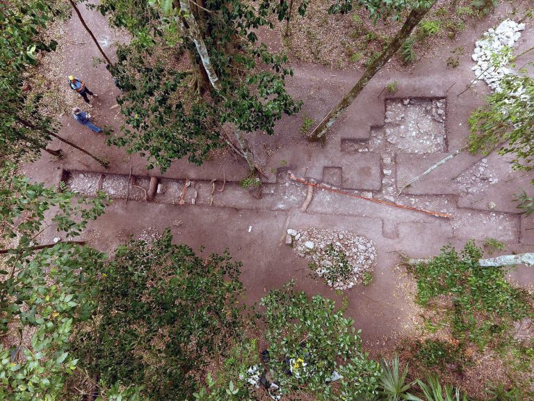
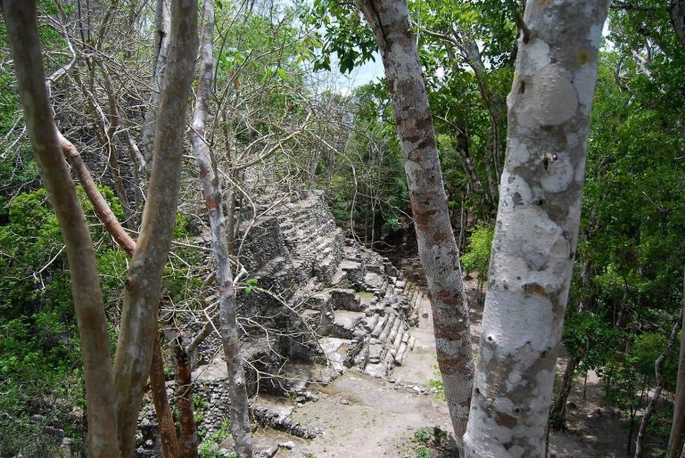
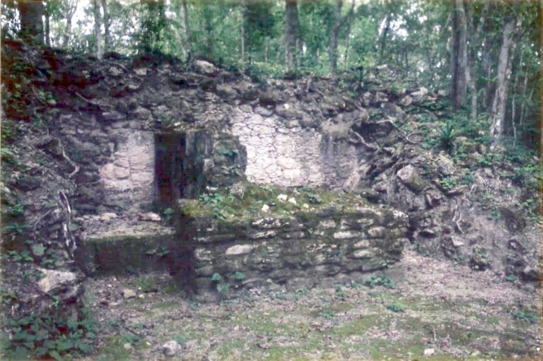
The main center occupies a natural hill about 1 km long and 700 m wide that was leveled for construction. Its ritual and administrative precinct contained a principal plaza and 65 buildings, including temples and elite residences.
The hilltop center
Principal and northern plazas
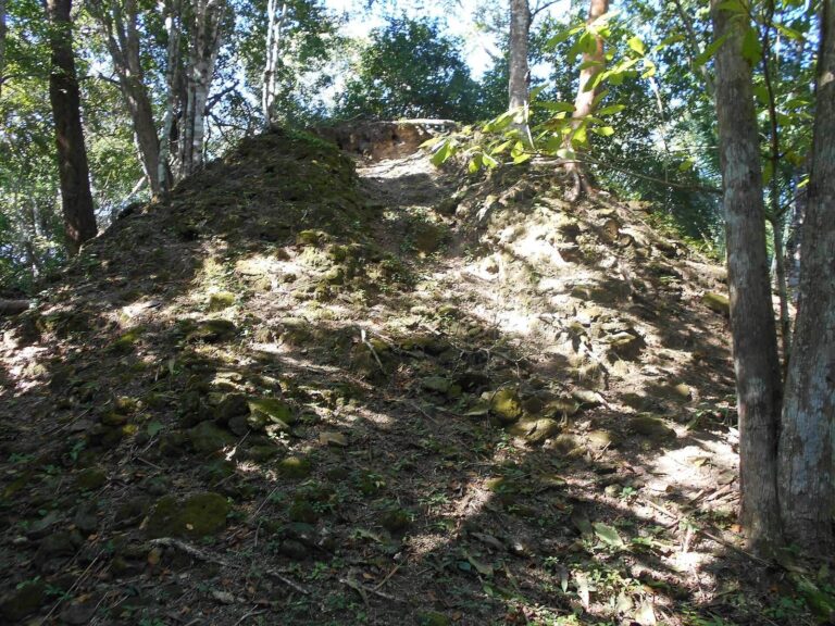
Three temple-pyramids, each about 11–12 m high, were among the principal buildings around the central plaza. A northern plaza lay near the royal palace.
Southern courtyards
South of the central plaza, four courtyards included a temple-pyramid about 25 m high, the tallest building at the site.
Residential areas and outlying features
A residential zone extended within about 2.5 km of the center and contained more than 400 buildings. Its peripheral areas were densely occupied before the central monumental precinct was built. Several groups of mounds lay beyond the center, and one mound may have been a pyramid about 35 m high. Artificial reservoirs were also found at the site.
Carved monuments and altars
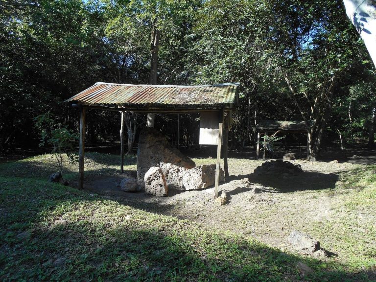
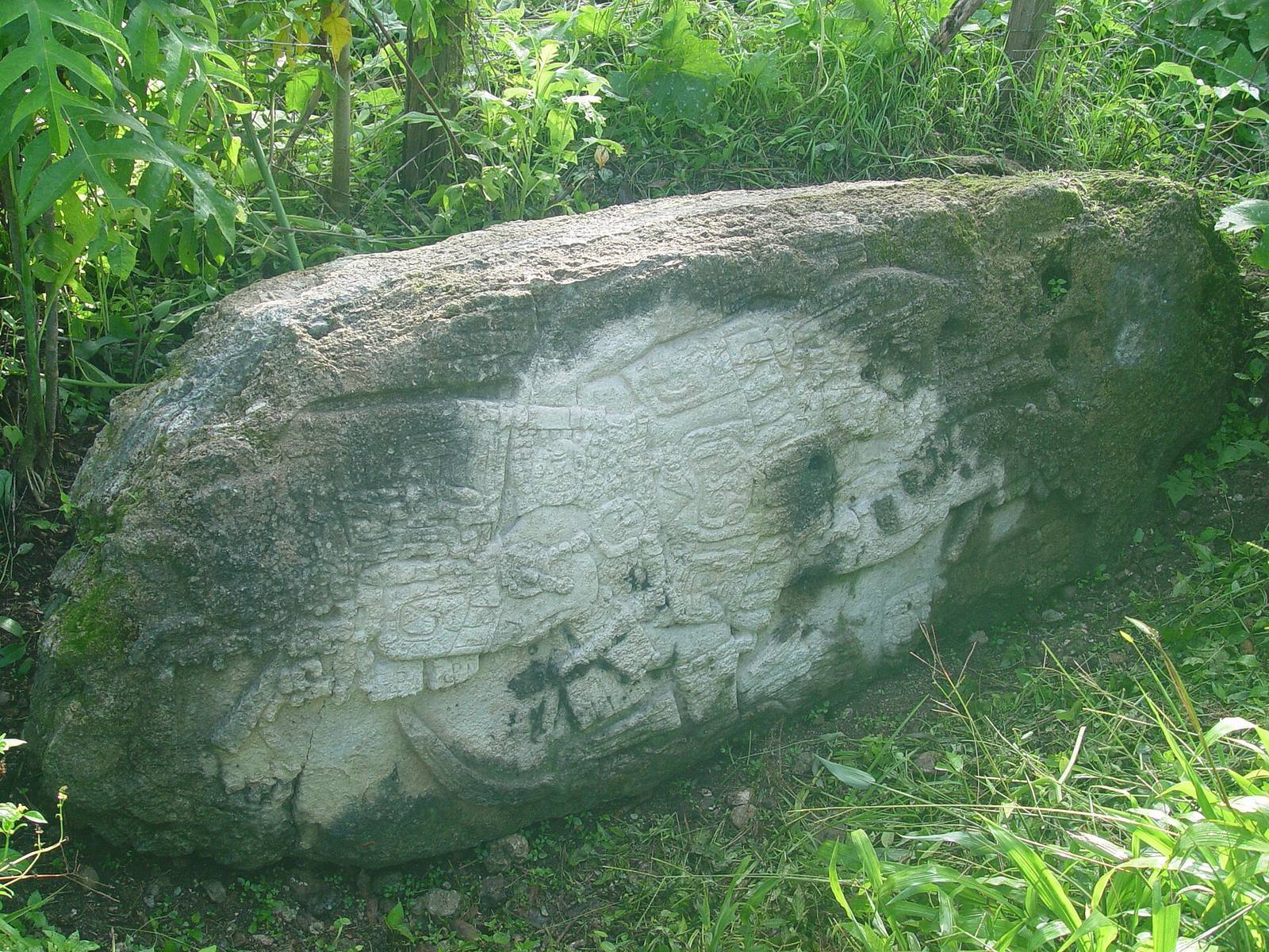
The site has yielded 16 carved stelae, upright stone monuments, dated between 642 and 749, and 21 altars. Most of the altars were in the front section of Structure 55, known as El Cementerio (“the Cemetery”).