Villa of Domitian: A Roman Imperial Residence in the Alban Hills
Site at a Glance
- Popularity
- High
- Country
- Italy
- Primary era
- Classical
- Eras represented
- Classical, Medieval
- Civilizations
- Papal States, Roman
- Site type
- Domestic
- Remains
- Palace
On this page24 sections
History
Before and during Domitian’s reign
The Villa of Domitian was a Roman imperial residence in Italy’s Alban Hills, about 20 kilometres from Rome, built for Emperor Domitian in the first century AD. Domitian, who ruled from AD 81 to 96 as a member of the Flavian dynasty, made the estate a permanent home. Its lands lay in the ancient Alban territory, where the growth of Roman power had encouraged the development of country villas.
Local tradition placed the legendary city of Alba Longa in this region and credited its foundation to Ascanius, son of the Trojan hero Aeneas. The city’s location remains uncertain, and it was said to have been destroyed in the sixth century BC. The surrounding territory subsequently became part of Roman-controlled Latium. Before Domitian’s building programme, Republican-era villas and properties occupied the area and eventually passed into imperial ownership. By the reign of Augustus, the concentration of imperial properties was known as the Albanum Caesaris. An earlier imperial villa there had been used by Tiberius, Caligula and Nero.
Domitian added a new residential complex in a position overlooking Lake Albano and the sea. The architect may have been Rabirius, who was associated with the emperor’s palace in Rome, while the waterworks may have been supervised by Alypus, an official responsible for water supply. Ancient literature linked Domitian’s stays at the villa with archery, hunting, violent spectacles and boating on the lake. That reputation may have overstated the character of his activities there.
Later emperors and the decline of the estate
After Domitian’s death, later emperors used the villa less often. Changes were made during the second century, especially under Trajan and Hadrian. Hadrian may have stayed there while his residence at Tivoli was being completed. In AD 175, Marcus Aurelius spent several days at the estate as a refuge during a period of unrest.
After AD 197, Septimius Severus settled veterans of the Second Parthian Legion at the edge of the imperial property and established the Castra Albana, a Roman legionary camp. The villa began to decline around this time. Soldiers and their families reused its building materials, contributing to the growth of Albano Laziale, while a settlement on the estate’s northern edge developed into Castel Gandolfo.
The Liber Pontificalis says that Constantine I donated nearly all the imperial property, along with much of the surrounding area, to the cathedral of St John the Baptist during the pontificate of Sylvester I, from 314 to 335. Whether this donation took place is uncertain. The villa was eventually abandoned and its marble and other materials were taken for reuse.
Religious and aristocratic reuse
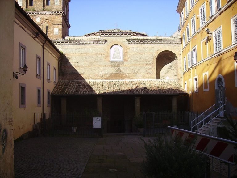
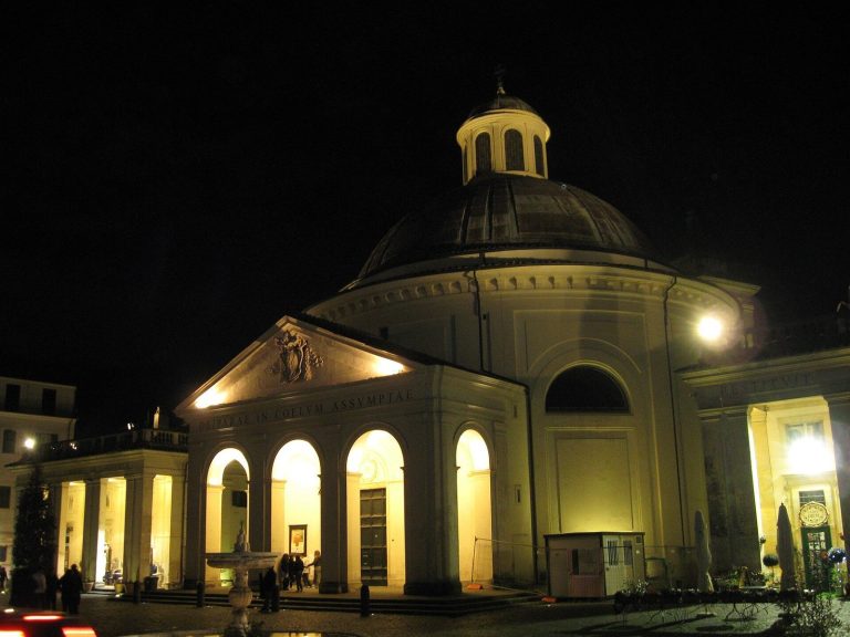
One building, the Rotonda, became a place of worship around the tenth century after earlier inclusion in the Castra Albana and adaptation as a bath. Basilian monks from Grottaferrata consecrated a church there in 1060, and Augustinian nuns consecrated it again in 1316. The site passed to Hieronymite monks in 1444. In 1663 the diocese of Albano acquired it and made it a Baroque church.
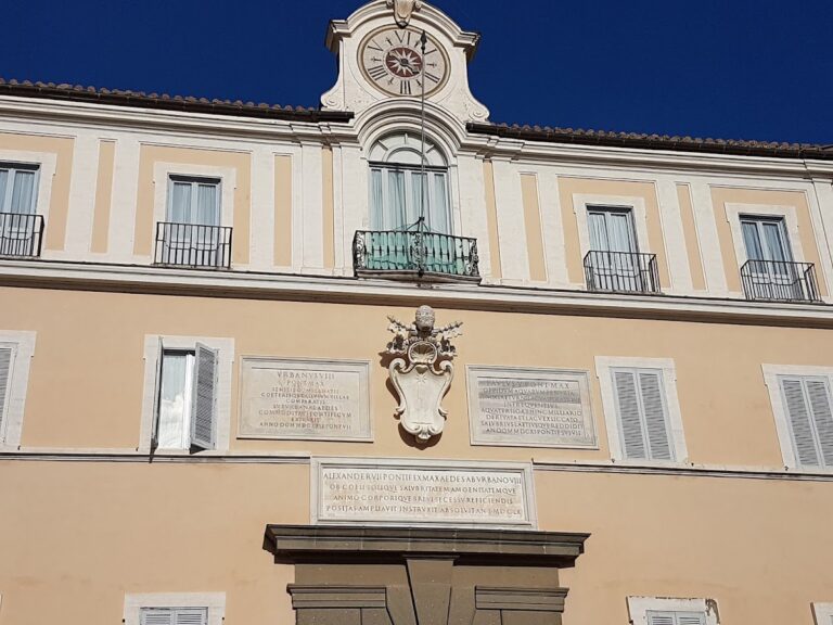
In 1321, the Savelli, the feudal lords of the area, authorized the dismantling of villa structures. The work took 36 days. Marble from the site was carried by river to Orvieto for use in the construction and facing of its cathedral. From the late sixteenth century, other ruins became part of aristocratic country estates. A church and convent were built over the palace site in 1619. Pope Urban VIII commissioned the Papal Palace at Castel Gandolfo, and in 1631 his nephew Taddeo Barberini bought an estate containing substantial villa remains. That property became the present Villa Barberini.
Study, conservation and twentieth-century events
Writers and diarists described the overgrown ruins from the fifteenth century onward, and artists reproduced them in prints and paintings. The theatre was first excavated in 1657 on Cardinal Barberini’s orders. Work at the Bergantino water grotto in 1841 brought sculptures and mosaics to light. Giuseppe Lugli began his systematic study of the villa in 1913 and published four volumes by 1922. His surveys became a central record of the site. In 1919, he and Thomas Ashby made an aerial archaeological survey from the airship Roma. Under Pope Pius XI, features including the covered passage and Avenue of the Nymphaea were cleared and incorporated into the reorganized Papal Villas. An antiquities museum opened at Villa Barberini in 1970 to bring together finds from across the estate.
The 1929 Lateran Treaty recognized 55 hectares of the Papal Villas at Castel Gandolfo as an extraterritorial area of the Holy See in Italy. The transfer of Villa Barberini to the Holy See brought most of the villa’s remains within its territory. The zone was confirmed and enlarged in 1948.
After the Allied landing at Anzio on 22 January 1944, the Papal Villas sheltered people escaping bombardment in nearby towns. About 12,000 people found refuge there over five months. On 10 February, an Anglo-American air raid struck the Propaganda Fide summer college, built over the palace site, killing 500 civilians.
Remains
Layout, palace and terraces
The villa occupied the slope and ridge of the volcanic crater surrounding Lake Albano, a landscape formed between about 100,000 and 5,000 years ago. Its buildings extended across at least three narrow terraces, each about 500 metres long. The palace, a panoramic terrace and a lower area with the hippodrome and entrances formed parts of this terraced complex. The estate’s full boundaries are uncertain; it may have extended north to at least Bovillae and south to Aricia, while its western limit toward the Tyrrhenian Sea is unclear. The villa remains are now distributed among the Papal Villas, Castel Gandolfo and Albano Laziale.
Palace
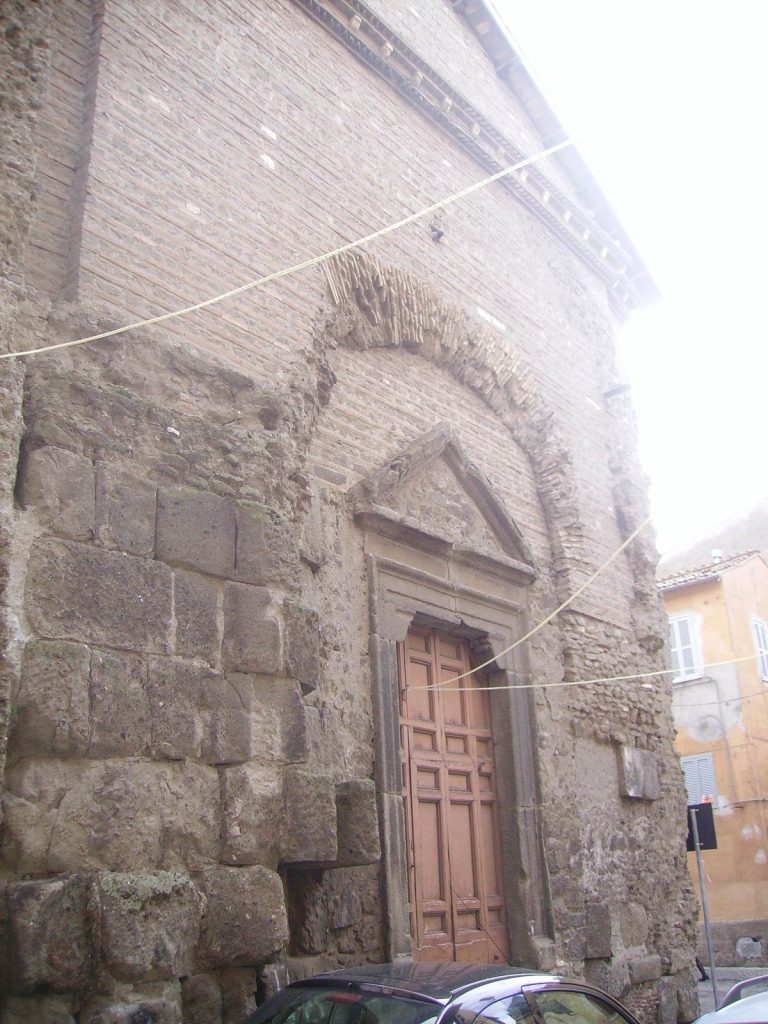
The palace site lies beneath the church of St Francis of Assisi and the adjoining Propaganda Fide building. Surviving masonry suggests a building of about three storeys, with a staircase connecting its second and third floors. The walls consist of concrete faced with brick, reinforced at intervals by large bricks. Pietro Rosa proposed a plan organized around three courtyards, although parts of that reconstruction extend beyond the remains visible to him. The arrangement has been compared with Domitian’s palace on the Palatine Hill. Terracotta pipes and conduits point to a bath area beside a central court that may have been surrounded by a colonnade; other rooms used by the imperial household have been proposed but are not securely identified.
Panoramic terrace and covered passage
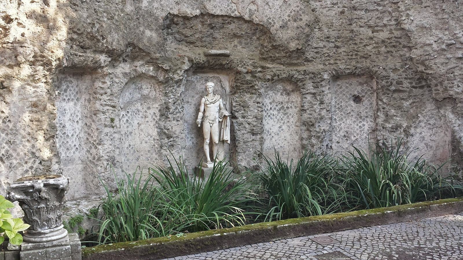
The panoramic terrace stood about 100 metres in a straight line from the palace. Two surviving retaining walls, 15 metres apart, have net-patterned stone facing that suggests they belonged to a late Republican villa incorporated into the later complex. A road may have run between the walls toward the lake. Nearby, the slope was cut into five steps, possibly for a path following the shore and the aqueducts toward Palazzolo.
A covered passage beneath the terrace supported the structure and extended north to the theatre forecourt. Its surviving length is 120 metres and its width 7.45 metres. The vaulted ceiling is reinforced by brick bands and retains traces of stucco decoration. The eastern side is partly cut into bedrock; windows on the western side bring light into the passage, each set opposite a wall niche. The ancient floor was about 1.5 metres below today’s walking level. Roads from the Appian Way converged on this sheltered approach to the palace. A statue of Polyphemus, the Cyclops of Greek mythology, found in the Bergantino grotto, was placed at its northern end.
Palace-to-lakeside tunnel
A separate tunnel cut through the local volcanic stone, peperino, connected the palace-side terrace with the lakeside. At about 100 metres long, it provided a route that avoided the steep descent. A shaft near its midpoint brought in light, and the entrance is 2.4 metres high. At the lake end, the tunnel reached a brick arch 3.75 metres wide in a retaining wall. The passage was cleared in 1910 and ends at the Villa Barberini boundary.
Approaches and water supply
Access roads
Two roads linked the villa with the Appian Way. The likely main approach from Rome left the ancient road near its fourteenth milestone, climbed on an embankment and reached the covered passage. A branch may have led to the hippodrome. A second road followed part of the route now occupied by the Galleria di Sotto and reached the passage from the other side. Lugli thought this may have connected the villa with an earlier residence attributed to Pompey rather than serving as the principal road from Rome. A paved section about 180 metres long survived into the mid-nineteenth century, and part of it reappeared during roadworks in 2013. Other paths followed aqueduct routes or connected the terraces with lakeside landings.
Aqueducts
Four aqueducts are associated with the villa. They approached from the southeast and drew on springs between Palazzolo and Malafitto. The oldest, the Hundred Mouths aqueduct, collected water from springs spread across about 150 metres. Its covered channel measured about 60 centimetres wide and 1.65 metres high, following the lake ridge before passing through a tunnel about 500 metres long beneath Colle dei Cappuccini. Three shafts supplied air to the tunnel. Where a stretch of about 100 metres sloped the wrong way, builders raised the channel floor with bricks. Its traces end about three metres below Piazza San Paolo in Albano. The aqueduct may first have supplied a villa attributed to Pompey and later served the Castra Albana.
The high Malafitto aqueduct is the only one securely dated to Domitian’s period. It wound through the Selvotta woods to maintain its height, passed beneath Colle dei Cappuccini and discharged into a large cistern below the Propaganda Fide building. Its channel is about 60 centimetres wide and 1.6 metres high. Sections outside the rock use net-patterned masonry, with rubble in parts of the vault. Fifty-three circular shafts were found along its route, the deepest reaching 53 metres. The low Malafitto aqueduct has similar dimensions and construction, but differences in its masonry and channel point to a slightly later date, probably under Trajan or Hadrian. It ran toward Castel Gandolfo and appears to have supplied the Torlonia cistern.
Cisterns
Three cisterns lie near the palace, within the Propaganda Fide property. Two were absorbed into the convent built in 1619 and are now underground. One had three aisles, nine arches and a waterproof floor made with crushed pottery mixed into mortar. The other had five arches along its length. Both were built with net-patterned masonry.
The largest palace-side cistern is 123 metres long and consists of three connected chambers measuring 57.7 by 10.95 metres, 35.5 by 10.4 metres and 29.5 by 10.4 metres. Supplied by the high Malafitto aqueduct, it received water through a shaft into the first chamber. Water then passed through the next two chambers, where sediment could settle before use. Walls outside the bedrock are 1.8 metres thick, faced with net-patterned masonry and reinforced in places with large bricks. Another cistern beneath the hippodrome is 41 metres long and about two metres wide. Near the lake, a smaller cistern measures 7.6 by 2.5 metres and is about seven metres high; it probably served an earlier villa.
The Torlonia cistern, outside the palace complex, measures about 43.5 by 31.8 metres. Six aisles are divided by pillars spaced 4.3 metres apart, with brick pillars supporting square vaults. Its outer walls combine brick and peperino blocks. The masonry and mortar suggest a date under Trajan or Hadrian, and the cistern was probably supplied by the low Malafitto aqueduct.
Theatre and garden spaces
Theatre
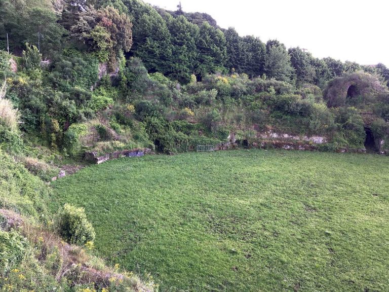
The theatre was built against a hillside, with its seating area cut into the slope and the stage and semicircular orchestra at the level of the adjoining terrace. It faced west, a position intended to reduce interference from northerly and southeasterly winds. The orchestra’s calculated diameter was 11.8 metres, and the radius from its centre to the first seat was 5.9 metres. The seating area measured 12.45 metres from the first to last row; the whole theatre could hold about 500 spectators.
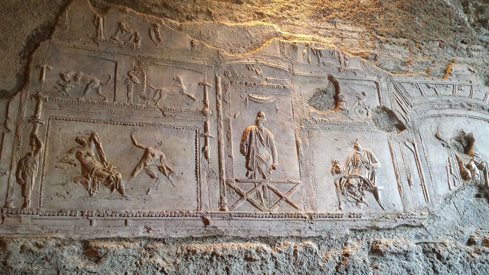
A corridor around the seating area carried a stucco frieze of 13 relief panels on theatrical subjects. The perspective decoration is characteristic of the Fourth Style of Roman painting, a style of elaborate architectural and ornamental wall compositions, and is an important example of late Flavian work. The theatre also had a columned portico, small water features and floors decorated with fitted marble pieces. Large marble panels adorned the front of the stage. Stair treads and supports used yellow marble, while the balustrades used a purple-veined marble and bore dolphins and masked actors. Some nearby rooms date to Hadrian’s reign.
Hippodrome
The broad north-to-south space known as the hippodrome may have functioned as a garden, a garden stadium or both. Brick walls bounded an area about 75 metres wide. Its northern wall curves into a semicircle, and a later fountain at the centre measures 7.1 by 2.3 metres and was decorated with stucco. A terrace may have provided a place for the emperor and court to observe activities below. Beneath its supporting structure is a cistern 41 metres long. Nearby, repeated bays measuring 4.2 by 2.95 metres were built against the retaining wall beneath the covered passage; they may have served as stables as well as supports for the terrace.
Lakeside features
Avenue of the Nymphaea
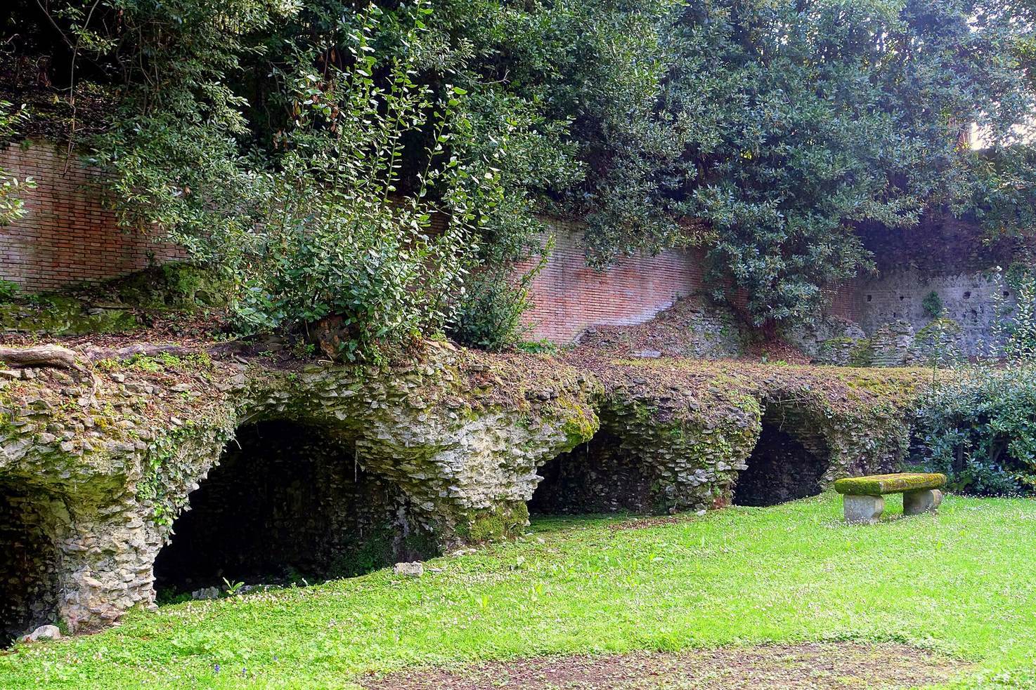
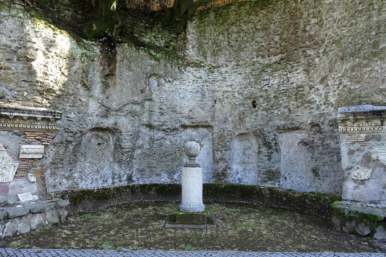
The Avenue of the Nymphaea ran north to south between the palace and theatre. On its lake-facing side were four niches identified as nymphaea, or water monuments. The southernmost is rectangular, 6.2 metres deep and 8.9 metres wide, with 13 smaller niches in its walls. The second and fourth are semicircular, each 2.6 metres deep and 6.85 metres wide, with seven niches. The third is rectangular, 5.5 metres deep and 7.4 metres wide, with 13 niches. Some retain net-patterned facing, plaster about three centimetres thick and traces of paint. Much of the vaulted roofing has fallen. The structures may have held sculptures.
Doric nymphaeum
The Doric nymphaeum on the western shore is a late Republican structure that may have been incorporated into the imperial villa. Its rectangular interior measures about 11 by 6 metres, with a barrel-shaped vault about eight metres high. Niches occupy two levels, with different classical designs on each tier. An arch opposite the entrance opens into natural caves, probably near an ancient spring. Channels, cascades, cisterns and pipes formed part of the water system. Some scholars have proposed that the structure was the sanctuary described by Cicero, but that identification remains uncertain.
Bergantino nymphaeum
The Bergantino nymphaeum adapted natural caves on the western shore during Domitian’s building programme. Its walls combine different forms of masonry and are separated from the peperino rock by a gap intended to limit damp. Brick pillars and vaults reinforce the structure, and large bricks form the entrance arch. The main cave is 17 metres in diameter. Its basin measures about 13 by 25 metres and has an overflow channel leading to the lake. Sculptures and mosaics recovered there include finds now kept at the Papal Villas.
Docks and other shore remains
Docks and related structures are concentrated on the lake’s eastern and western shores. On the eastern side, between Cantone and Acqua Acetosa, are remains of three first-century villas, each with its own landing. The western shore includes a covered passage probably belonging to a villa and a structure interpreted as a beacon or lighthouse. The section near the Doric nymphaeum dates to the late Republican period; much of the remaining stretch, including the Bergantino nymphaeum and the beacon, belongs to Domitian’s period. Displaced dock blocks are typically 90 centimetres to one metre long.
Lake outlet tunnel
The artificial outlet tunnel for Lake Albano predates the villa. A tradition connects its construction with Rome’s destruction of Veii in 398-397 BC and claims that 30,000 workers completed it in 100 to 150 days. The tunnel is about 1,350 metres long, between one and 1.8 metres wide, and 1.7 metres high. It passes about 128 metres beneath the surface and has five air shafts. Once about 13 metres below the lake’s level, it now stands above the lowered waterline. It begins roughly 500 metres beyond the Bergantino nymphaeum and emerges at Mole di Castel Gandolfo.
Between 1980 and 2005, the lake level fell substantially, including a drop of about four metres from 1995 to 2005. The decline has been attributed mainly to unauthorized wells drawing on groundwater and the lake. The lower waterline exposed archaeological remains, including docks, and left the Roman outlet tunnel above the water. The lake lost about 21 million cubic metres of water over three decades.
The Rotonda
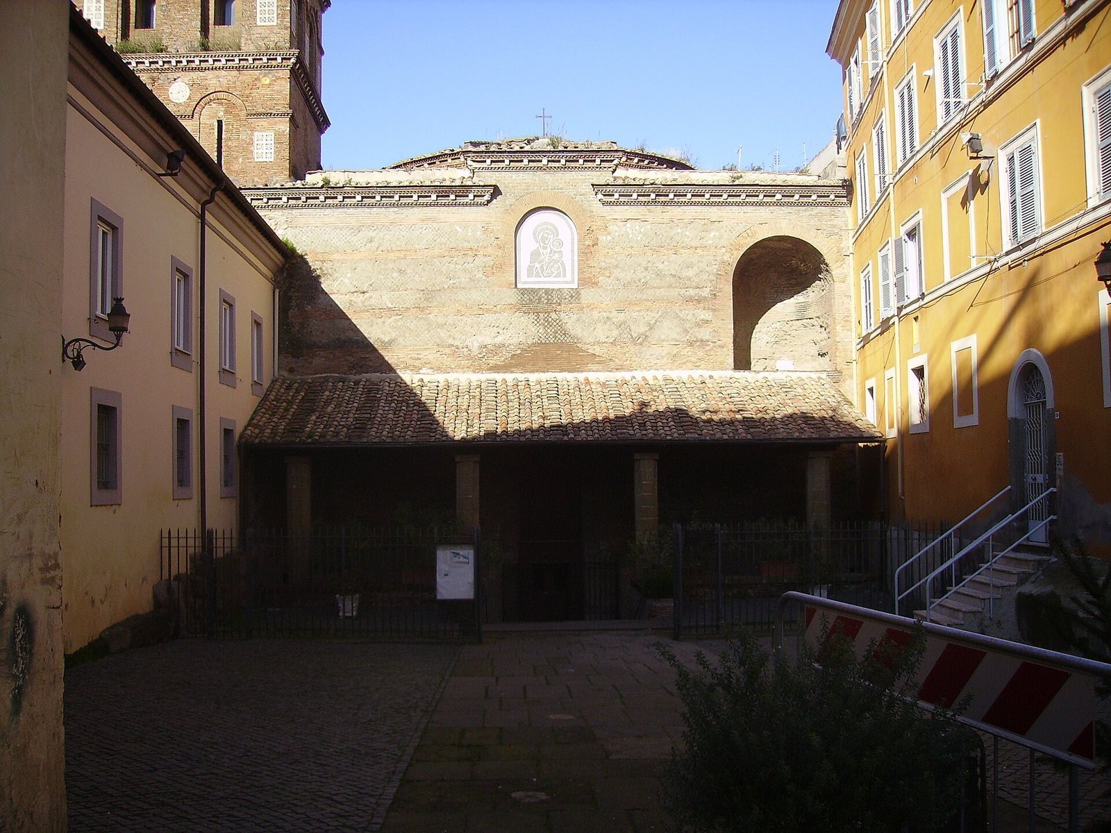
The Rotonda stands in present-day Albano Laziale, about 2.5 to three kilometres from the villa’s residential core. A cylindrical structure enclosed within a cube, it has a dome with a central opening and measures about 16.1 metres in diameter. Its walls combine brick and other masonry. Pipes and basins relate to its use as a fountain. The building’s original function remains uncertain: it may have been a water monument and perhaps a monumental entrance to the imperial residence. Earlier interpretations proposed a temple dedicated to Minerva or to the Sun and Moon.
In its later bath phase, the building had a rectangular antechamber, floor mosaics showing sea creatures and a painting of gymnasium scenes. A sixth- or seventh-century Eastern Christian image of the Madonna was associated with its later religious use. The Baroque interior was removed between 1935 and 1938, exposing the building’s earlier form and lowering the floor to its original level, about 3.3 metres below the modern street. This work also revealed fourteenth-century frescoes showing the Story of the True Cross; they were restored in 1979.