Verulamium Park: The Roman City of Verulamium in St Albans



Site at a Glance
- Rating
- 4.7
- Popularity
- Medium
- Country
- United Kingdom
- Primary era
- Classical
- External website
- Open
- Eras represented
- Iron Age, Classical
- Civilizations
- Roman
- Site type
- City
On this page23 sections
History
Verulamium Park in St Albans, United Kingdom, occupies the site of Verulamium, a Roman city that developed over about four centuries after the conquest of Britain in AD 43. Its planned streets, civic buildings, wealthy houses, temples, and water supply made it an important urban centre, while the surviving archaeological remains illuminate the development of Roman Britain.
Verlamion and the Catuvellauni
Before the Roman conquest, the area formed the heartland of the Catuvellauni, a powerful Iron Age British tribe whose territory centred on what is now Hertfordshire and neighbouring regions. Their settlement, Verlamion, developed during the latter part of the first century BC and probably became their capital under Tasciovanus. Coins issued under his authority around 20 BC carried the mark “VER”.
After Tasciovanus died around AD 10, his son Cunobelin transferred the centre of Catuvellaunian government to Camulodunon. Verlamion nevertheless continued to expand. Around AD 40, Cunobelin’s sons Togodumnus and Caratacus used the older settlement as a base for resistance to forces supporting Roman interests shortly before the invasion.
Roman foundation and early development
Following the conquest, the Catuvellauni did not resist Roman rule and may have welcomed it. Verulamium developed as a planned Roman town, beginning with a ditched enclosure, a regular street grid, and roads connecting it with other British settlements. The ancient route of Watling Street passed through the town, linking it with London and other communities.
Around AD 50, Verulamium was granted the rank of municipium, a Roman town whose inhabitants held a legally defined form of citizenship or Latin rights within the imperial civic system. This may have rewarded the tribe’s early surrender, although the surviving evidence does not conclusively distinguish between municipium and civitas, another form of Roman community.
In AD 60 or 61, Boudicca, queen of the Iceni, led a major revolt against Roman rule. Her forces destroyed Verulamium along with Colchester and London. The town took about 20 years to recover, and its major municipal buildings were constructed during this period of rebuilding. By AD 79, the first monumental forum and basilica had been completed.
Expansion and prosperity
Verulamium probably became a major administrative and commercial centre. Its privileged inhabitants enjoyed aspects of Roman urban life, including substantial public buildings, comfortable houses, mosaics, Italian marble, and a piped water supply.
A major fire around AD 155 destroyed almost 52 acres of the town. The settlement was rebuilt at about twice the size of its predecessor, with stone replacing timber on a much larger scale. Over the following two centuries Verulamium became a wealthy market centre and possibly the most important market centre in Roman Britain.
By the fourth century, Verulamium was the third-largest city in Roman Britain after London and Cirencester. Its decline had begun by the middle of that century, when the theatre had become a rubbish dump. By about AD 430, the town was in decline.
Late Roman and post-Roman change
Roman rule in Britain ended by AD 410, but Roman ways of life continued for another generation or two. A settlement of wooden buildings probably developed among the ruins during the following 500 or 600 years, while the monastic and market town of St Albans prospered on the hill above.
As the Roman city decayed, its great buildings were demolished and much of their stone was reused in the construction of the Norman Abbey. The later town took its name from Alban, traditionally a citizen of Verulamium who sheltered a Christian priest, converted to Christianity, and was executed after refusing to sacrifice to pagan gods. Alban is regarded as Britain’s earliest Christian martyr, although proposed dates for his execution range from AD 208–211, 251–259, and 303–311. A shrine and probably an early church developed near the place of his execution.
Excavation and preservation
Excavations by Sir Mortimer Wheeler and Tessa Wheeler began in the park in 1930. Their work greatly increased knowledge of Verulamium and its inhabitants, and further discoveries have continued to expand the archaeological picture.
Much of the Roman city and its surroundings is protected as a scheduled monument, recognising the archaeological importance of the buried remains. Verulamium Park has also received Green Flag and Green Heritage Site awards. Verulamium Museum, on the edge of the park, displays hundreds of objects excavated from the local area, including material illustrating everyday life in the Roman city.
Remains
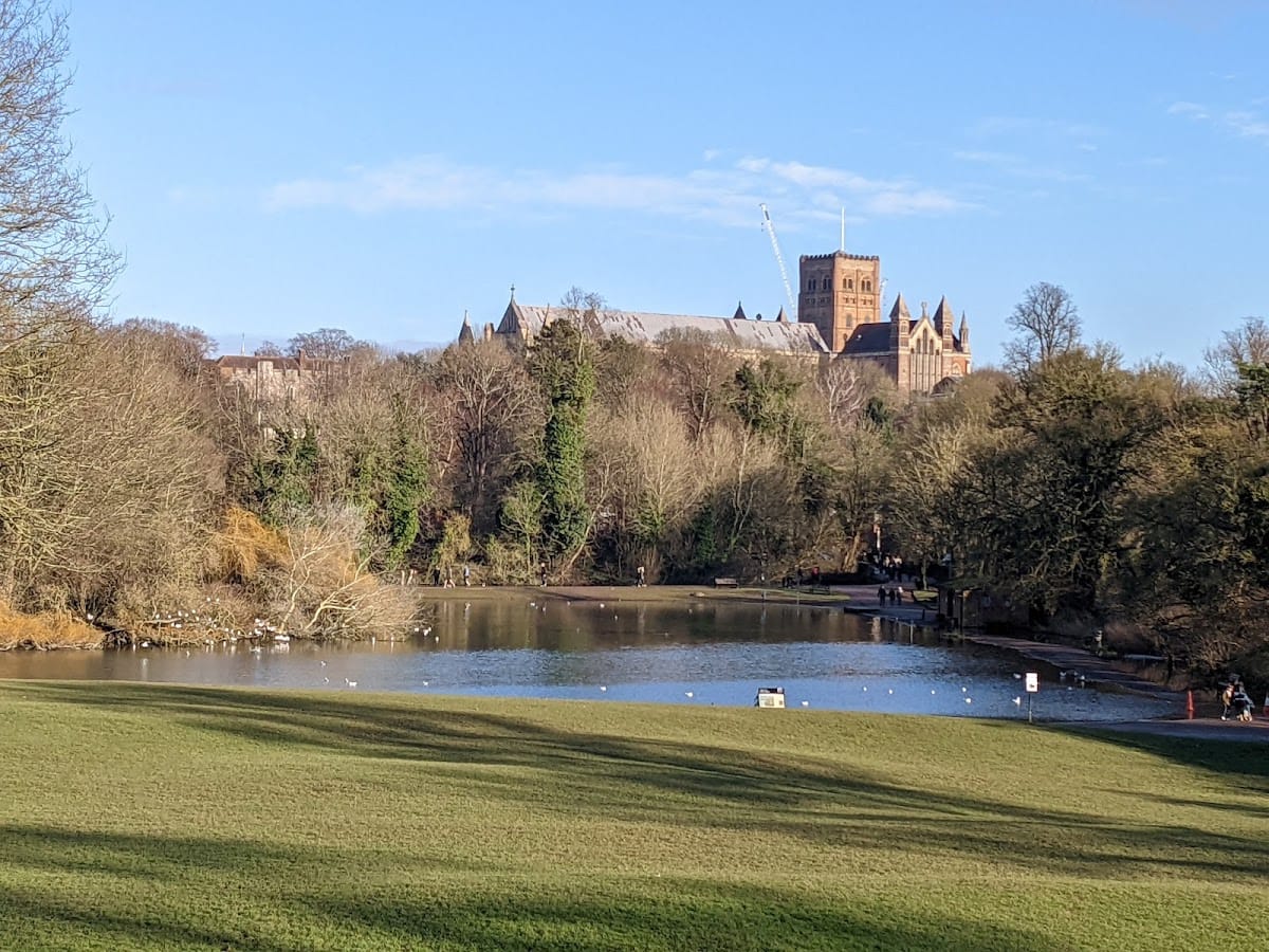
Verulamium Park preserves visible earthworks, sections of the Roman town wall, and archaeological remains spread across the former city. The town followed a regular grid of streets and straight roads, with the route of Watling Street passing through it. The modern park covers more than 100 acres of parkland, and an ornamental lake, begun in 1929 and fed by the River Ver, forms a major landscape feature around the remains.
Defences and entrances
Early enclosure
The earliest Roman defences were constructed around AD 55. A bank and ditch enclosed about 119 acres, or 48 hectares, around the developing town. As Verulamium expanded during the early second century, sections of these defences were removed to improve communication with areas beyond the enclosure.
Post-fire defences
After the fire around AD 155, the earlier defences were completely demolished. They were replaced by a massive bank and ditch surrounding the enlarged settlement. Monumental twin-arched gates pierced the new defences on all four sides. Parts of the town wall survive above ground, and the outline of the principal London Gate remains visible.
Civic and commercial centre
Basilica
The Basilica stood at the centre of Verulamium and served as the seat of local government. Its great hall was used for the administration of justice, giving the building a central role in the town’s civic life.
Forum
The Forum stood beside the Basilica as the principal commercial and business centre. It also provided a setting for public meetings and open markets. Temples dedicated to the Roman state gods and the emperor faced the Basilica.
A fragmentary dedication inscription recovered from the Forum refers to the emperors Titus and Domitian. It is dated either to AD 79 or AD 81, with AD 79 preferred, although the precise date is not certain. The inscription also names Gnaeus Julius Agricola, the Roman governor of Britain during the late first century AD, and may relate to the dedication or civic improvement of the Forum and its buildings.
Macellum and town houses
A macellum, or Roman market building, and several large town houses occupied parts of the street grid. One excavated house contained at least 33 rooms, including reception and dining rooms, kitchens, small domestic shrines, servants’ quarters, and storerooms.
Some rooms in these houses had colourful mosaic floors and fine wall paintings. Principal rooms were heated by hypocausts, Roman under-floor heating systems in which furnaces produced heat outside the buildings and hot air travelled through channels beneath raised floors and through box flues in the walls.
Theatre and sacred precincts
Roman theatre
A small Roman theatre stood in an insula, or city block, beside the Forum and Basilica. It was used for plays, readings from classical works, music, and singing. Bullfighting and bear-baiting may also have taken place there. Its proximity to a temple suggests that performances were also connected with religious festivals. By the middle of the fourth century, the theatre had become a rubbish dump.
Temple 1
Romano-British Temple 1 was a square building within an enclosed sacred precinct behind the theatre. Its portico measured 53 feet square, while its inner sanctuary, or cella, measured 24 feet square. The walls were uniformly 2.5 feet thick, and the temple faced north-east. It was originally built around AD 90.
The sacred precinct, known as a temenos, was added soon after the temple’s construction. It was rebuilt around the beginning of the fourth century, when annexes were added to the central building. The precinct later burned down and was replaced around the beginning of the fifth century before falling out of use later in that century.
Temple 2
Temple 2 stood just inside the southern gateway, where two side streets met. Its irregular, truncated triangular plan resulted from this position, with a rear street linking the two side streets. The side walls were 97 feet long, the rear wall was 83 feet wide, and the front narrowed to 31 feet.
Visitors approached the temple from its apex through a trapezoidal gravel courtyard. Paved, roofed colonnades stood at the entrance and along the sides, and column bases about 2 feet wide indicate columns approximately 16 feet high. Three large archways at the rear led into a roofed cross-hall containing two corner sanctuaries and a central cella.
The central sanctuary contained a raised rectangular platform for a cult statue. Each corner sanctuary held a brick-lined tank about 3 feet square and 1 foot deep. Evidence of burning, including burnt pine cones in the western tank, survives from these spaces. The exterior walls were painted bright crimson, and the temple may have been associated with Cybele and Attis.
Classical Temple 3
Classical Temple 3 was built onto the southern end of the south-west side of the Forum after much of the area had been damaged by fire during the Antonine period. It opened onto the Forum colonnade. Its roof may have extended over the corridor around the open court and rested on columns set on a massive stone base.
The temple podium measured about 34.5 feet wide and 63.75 feet long. A circular plinth, approximately 4 feet 8 inches high and 20 feet in diameter, occupied a semicircular apse at the rear and projected into the cella, where it probably supported a cult statue. Side walls 7.5 feet thick suggest a tall structure, possibly with a vaulted roof. Curved painted plaster fragments and damage at the centre of the geometrically patterned mosaic floor support this interpretation.
Classical Temple 4
Classical Temple 4 stood at the western end of the south-west side of the Antonine Forum. Its main building measured about 52 by 102 feet, and its walls were 9 feet thick, probably supporting a vaulted roof. A square apse extended 27 feet beyond the rear.
Large semi-engaged columns decorated the exterior, with five along each side and two more at the rear beside the apse. The front formed a square atrium opening onto the Forum between the columns. The rear section contained a large square area raised about 10 feet above the atrium floor on interconnected box-like cellars.
The rear apse contained two rooms. One was rectangular, measuring about 41 by 17 feet, and was entered through an opening 12 feet wide. The smaller sanctuary measured approximately 7 feet deep by 14 feet wide and probably held an altar or cult statue.
Possible apsidal shrine
A possible apsidal shrine lay beneath a wealthy town house in insula XXVIII. A passage below ground, reached by a ramp from street level, led to corridors with three wall niches and another corridor ending in an apse. The function of this feature remains uncertain, although it may have served as a shrine.
Heated rooms and preserved surfaces
Hypocaust Mosaic
The excavated Hypocaust Mosaic consists of an approximately 1,800-year-old hypocaust and the mosaic floor that covered it. The remains are preserved in a purpose-built building that protects the ancient heating system and its floor surface from the elements.
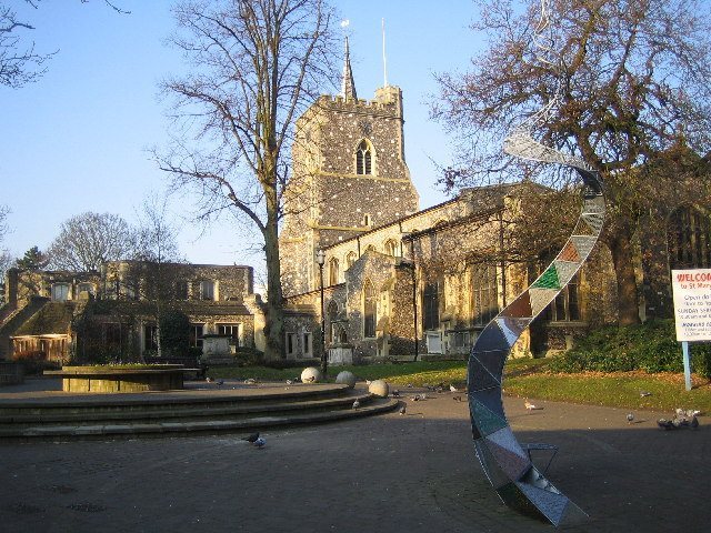
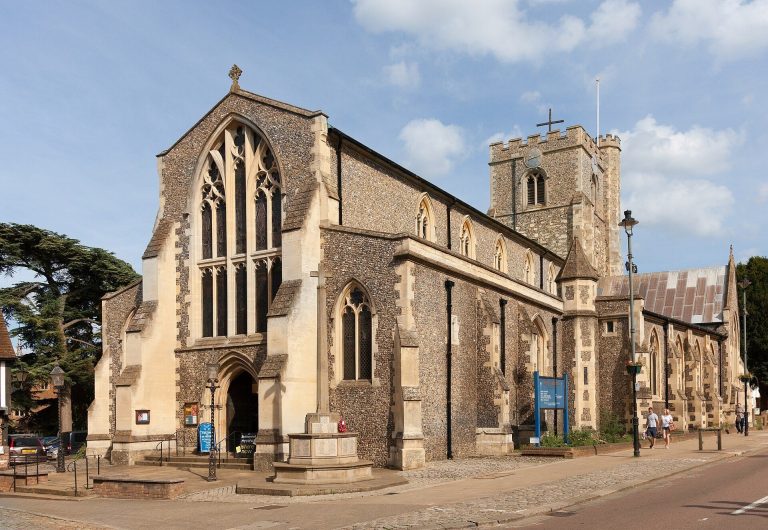
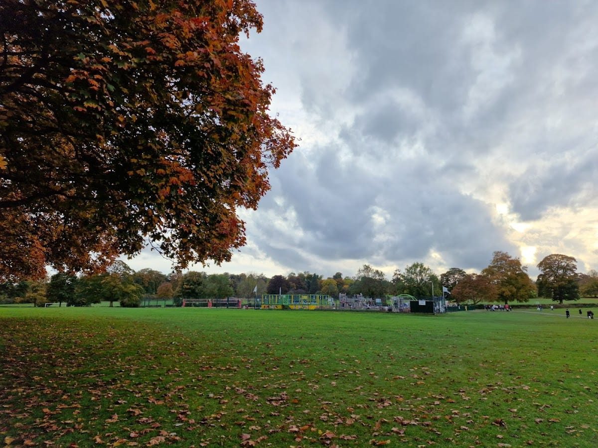
The Roman remains occupy a landscape that now includes maintained sports grounds and leisure installations. The park borders St Albans Cathedral and St Albans School on its north-eastern edge, St Michael’s Church on its north-western edge, and St Columba’s College on its south-eastern edge. The excavated Roman theatre lies west of the park, while St Albans Abbey railway station lies to its east.