Tunanmarca: A Fortified Huanca Settlement in Peru
Site at a Glance
- Popularity
- Medium
- Country
- Peru
- Primary era
- Medieval
- Eras represented
- Medieval
- Civilizations
- Unclassified
- Site type
- City
On this page10 sections
History
Tunanmarca is a fortified settlement associated with the Huanca, a people of the central Peruvian Andes, on the summit of Cerro Tunun near Concho in Peru’s northwest Mantaro Valley. Its main occupation dates to about 1280–1425, within the Late Intermediate Period, an Andean era before the Inca Empire expanded. Tunanmarca served administrative, palace-related, and ceremonial functions.
Huanca center
The settlement is popularly called the capital of the Huanca kingdom, a description proposed by Peruvian historian Waldemar Espinoza Soriano. The claim has strongly shaped modern identity in Huancayo, but is not firmly supported by historical evidence about the region’s peoples or by archaeology.
Tunanmarca was apparently also known as Siquillapucara, a Quechua name formed from words for “point” and “town,” meaning “town at the point of the hill.”
Inca conquest and abandonment
Around 1460, the Inca prince and military leader Túpac Yupanqui conquered the Mantaro Valley. The Inca Empire, a state centered in Cuzco that expanded across much of the Andes, then made Hatun Xauxa an administrative center for the region. Tunanmarca and other formerly important settlements of the Huanca and Xauxa peoples lost prominence, and Tunanmarca was abandoned around this time.
After the conquest, Inca authorities divided the valley into three regional administrative sectors, including central, northern, and southern divisions. Families relocated from Cuzco were assigned to teach Inca arts, culture, and language.
Research and modern recognition
A team of 20 American researchers studied Tunanmarca in the 1980s and published its findings. Despite the settlement’s size, it has received less study than other archaeological sites in Peru’s central highlands. Peru declared Tunanmarca a National Cultural Heritage site in 2000, and interest in its recovery and preservation emerged in 2012.
On 26 November 2013, the Central Reserve Bank of Peru issued 10,000 commemorative one-Nuevo-Sol coins featuring buildings at Tunanmarca. The coin’s inscription names the site and dates it to the 13th–16th centuries AD.
Remains
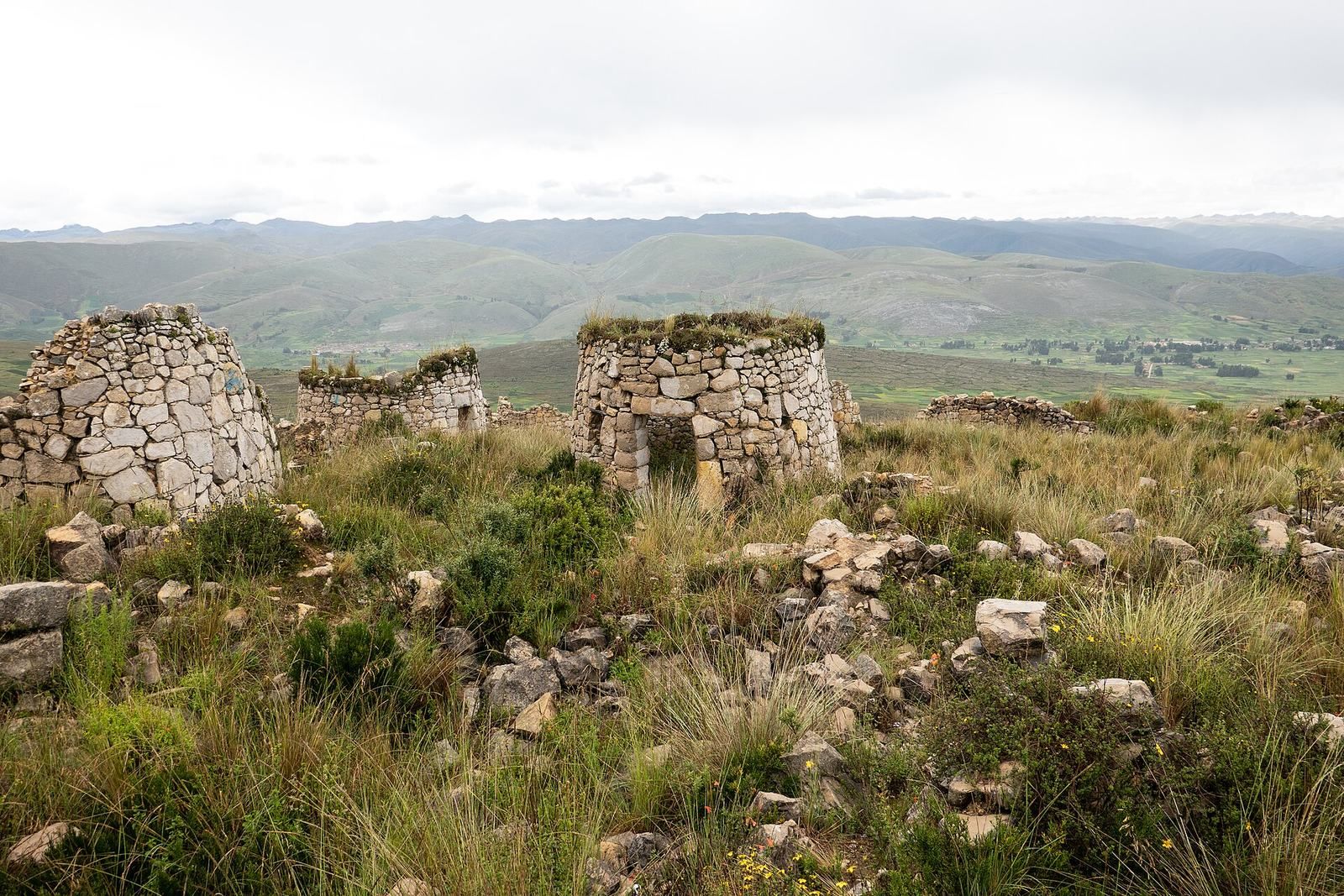
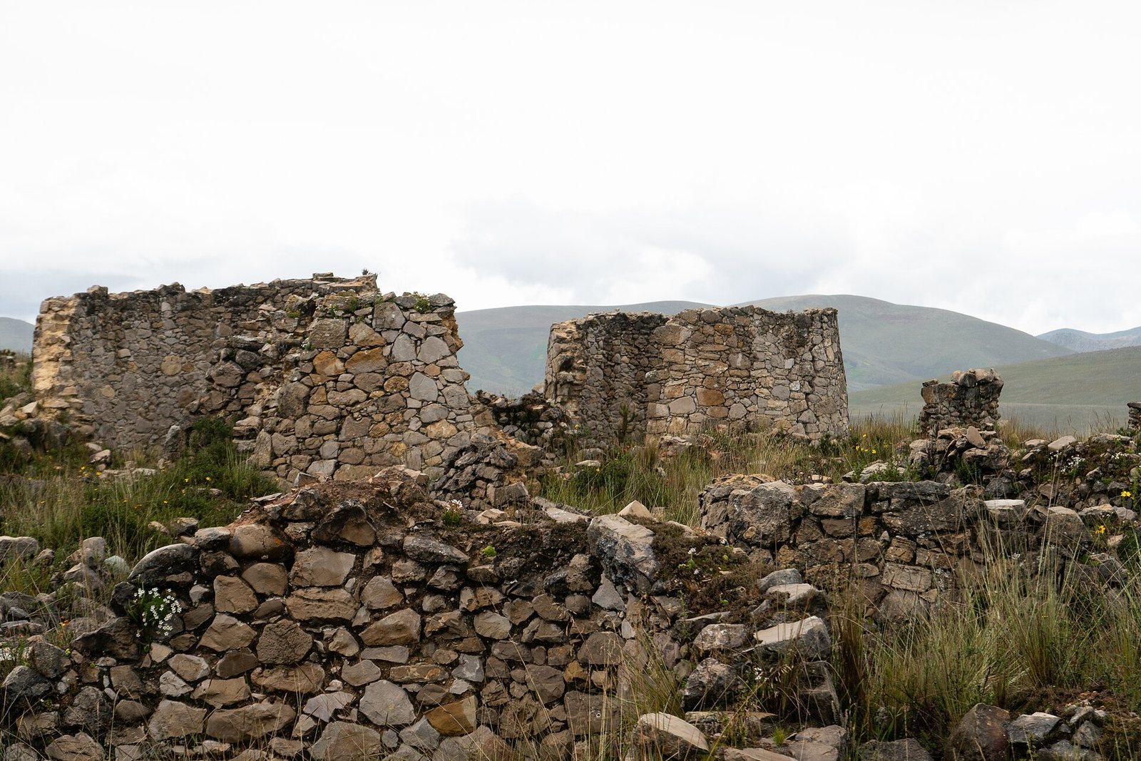
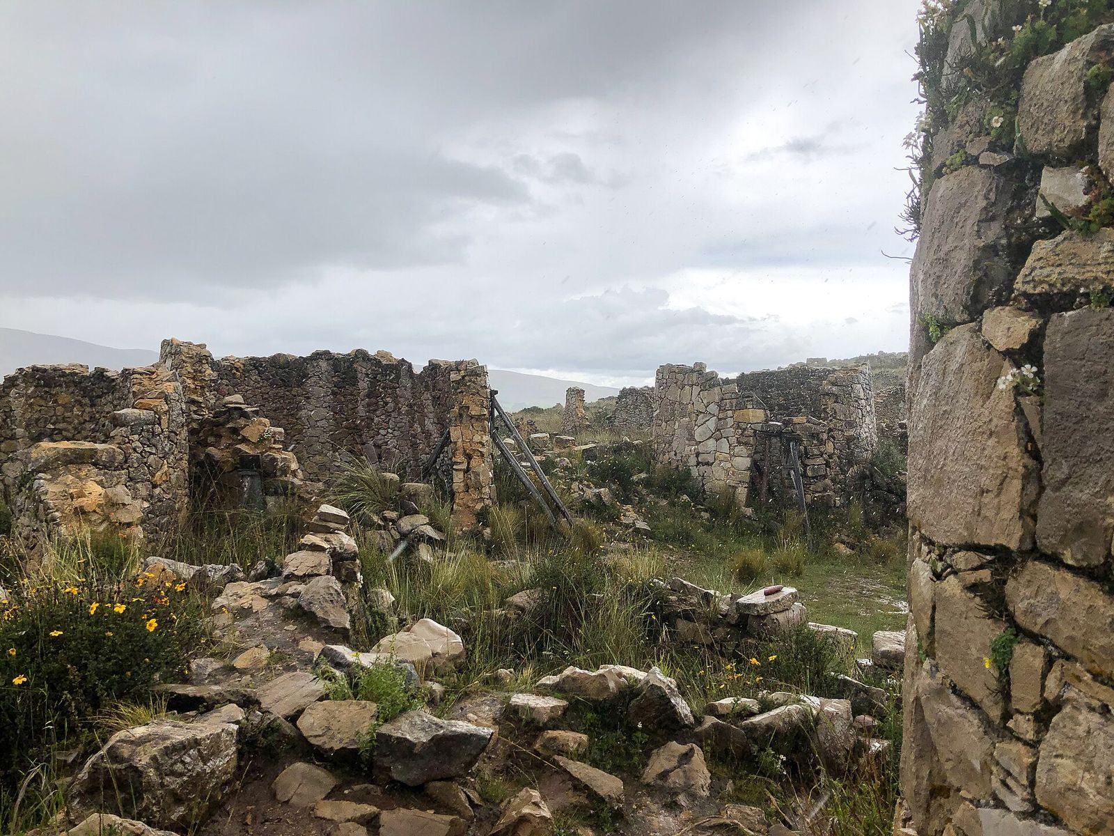
At about 3,800 m above sea level, the settlement occupies a rocky summit roughly 20 km west of Jauja. It extends about 2.28 km by 840 m and covers approximately 32 hectares. Corridors, plazas, patios, and more than 3,000 circular enclosures form its built landscape. The ruins are now overgrown and deteriorating.
Defensive perimeter
Three stone walls, one within another, protected the western and southern sides of the settlement. On the east and north, steep slopes provided natural defenses.
Circular houses
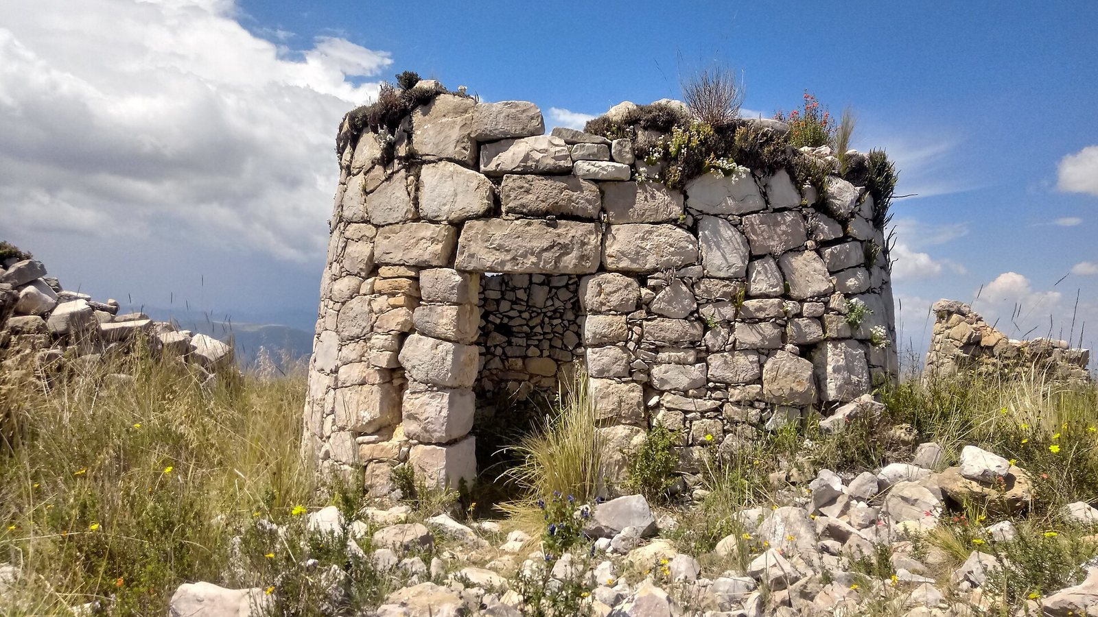
The circular enclosures probably served as homes, with each room housing one nuclear family. The regularly shaped buildings stood about 1.5–2 m high. Their walls were built from irregular and polygonal stones, carefully worked on the outer faces and joined with mortar made from clay, lime, and ground sand. Most doorways narrowed toward the top, while a few had irregular shapes.
Roof timbers came from queñual, quishuar, and alder trees, and coverings consisted of straw or ichu, an Andean grass. Most houses are destroyed, although some retain standing walls without roofs. Two houses have curved roofs made from stone slabs.
Central plaza and possible temple
A broad open space near the center may have served as the main plaza. A more carefully built structure within this area may have been a temple.
Northern complex
Farther north, seven large circular rooms stand within a surrounding wall beside a patio. This group may have formed a palace.
Water and storage features
The complex includes a system of aqueducts, channels built to carry water, and the remains of a storage building. One proposed interpretation is that Tunanmarca served as a wartime refuge supplied with stored food, while crops and livestock were kept in the lowlands.