Tilmen Höyük: An Ancient Bronze Age City in Türkiye
Site at a Glance
- Popularity
- Medium
- Country
- Turkey
- Primary era
- Bronze Age
- Eras represented
- Bronze Age, Iron Age
- Civilizations
- Unclassified
- Site type
- City
On this page12 sections
History
Tilmen Höyük is an ancient settlement mound at Karapolat, near İslahiye in Türkiye. Occupation began in the Late Chalcolithic, or Copper Age, during the fourth millennium BC. The settlement grew into a large city and, at its height between the eighteenth and fifteenth centuries BC, served as an important point of cultural contact between northern Mesopotamia and Anatolia.
From settlement to Bronze Age city
Tilmen Höyük was occupied through the Early Bronze Age and the Middle and Late Bronze Ages. During the Middle Bronze Age, it was one of twenty kingdoms associated with Yamhad, an Amorite kingdom centered on Aleppo. Archaeologist Bahadır Alkım regarded Tilmen as the center of one of Yamhad’s smaller kingdoms in the eighteenth century BC. He also proposed that a local kingdom existed there in the fifteenth and fourteenth centuries BC.
Hittite campaign and later occupation
In the second half of the seventeenth century BC, Hattusili I, an early ruler of the Hittite kingdom, campaigned in the Amuq plain and against Aleppo. Tilmen Höyük was destroyed by a major fire during this campaign. The city has been tentatively identified with Zalbar, also rendered Zalwar, the capital of a kingdom named in Hattusili I’s annals.
Occupation continued into the Iron Age and the Roman, Byzantine, and Islamic periods. Pottery and other finds indicate activity during the Roman, Byzantine, and Islamic phases.
Excavation and site development
Uluğ Bahadır Alkım discovered the site in 1958, and excavations began the following year. Work continued until 1964, resumed in 1969, and ended in 1972. Italian-Turkish excavations took place from 2003 to 2008 under Nicolò Marchetti, with the collaboration of Refik Duru. Development of an archaeological park began in 2007, alongside repair and site-improvement work directed by Duru for the Gaziantep Archaeology Museum Directorate.
Remains
Setting and city layout
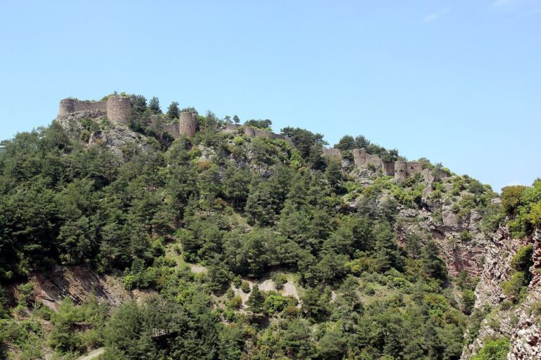
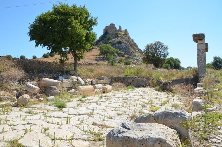
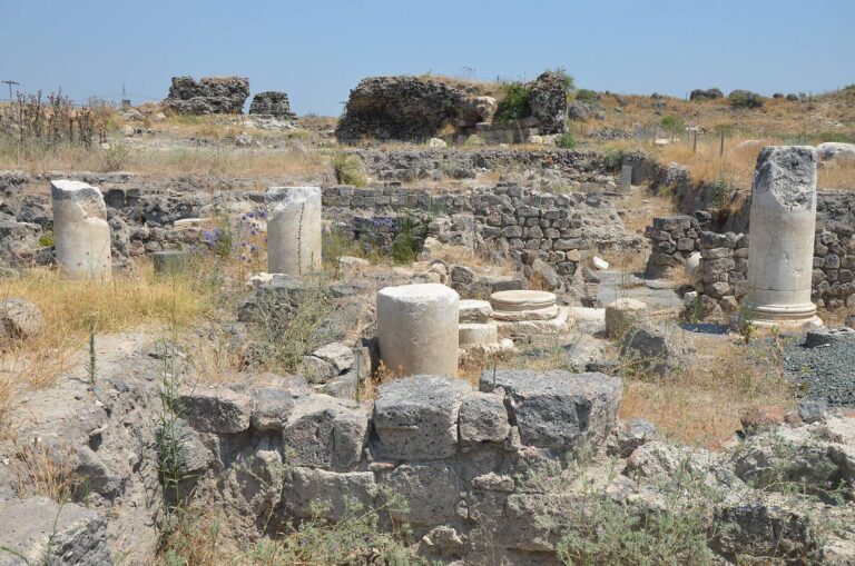
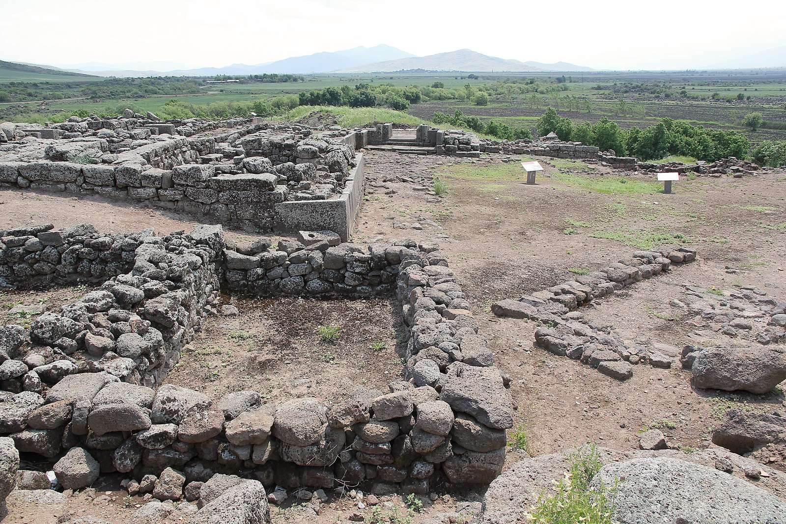
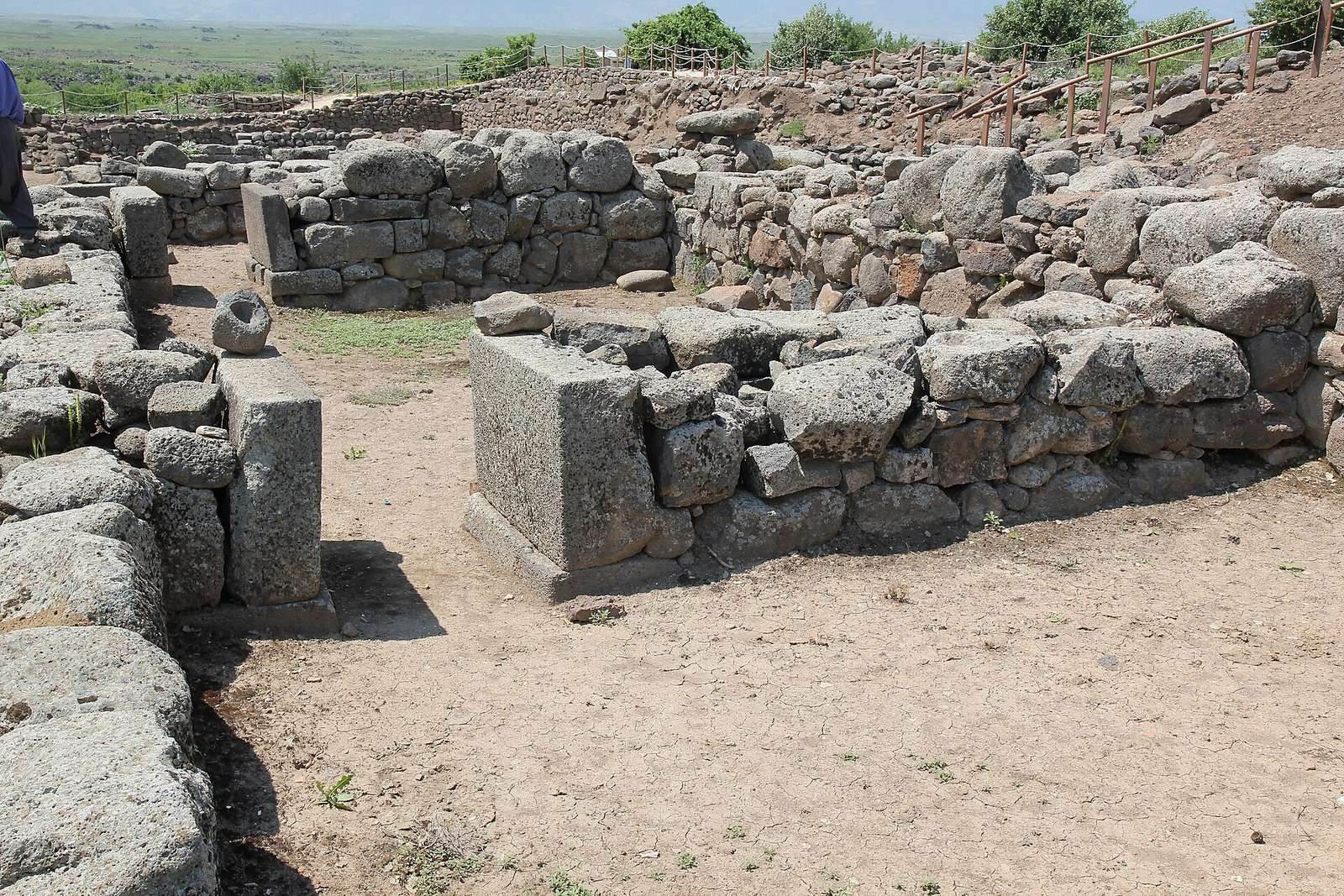
The settlement’s compact citadel stood within a lower town, and its buildings were made mainly of locally abundant basalt. Sun-dried mud brick was used in the upper parts of walls. The mound lies at the western edge of the Sakçagözü Plain beside the Karasu River, amid terrain crossed by its branches. It measures about 225 metres across and rises 21 metres. Near İslahiye and the Amanos Mountains, it is about 10 kilometres south of the archaeological site of Zinjirli along the Karasu.
In the Middle Bronze Age, an inner city and an outer city were enclosed by two nested lines of fortification. The extensive use of stone contributes to the mound’s stony appearance.
Fortifications and entrances
City circuits and walls
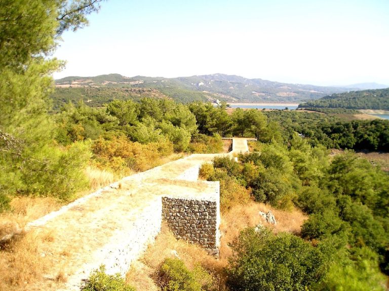
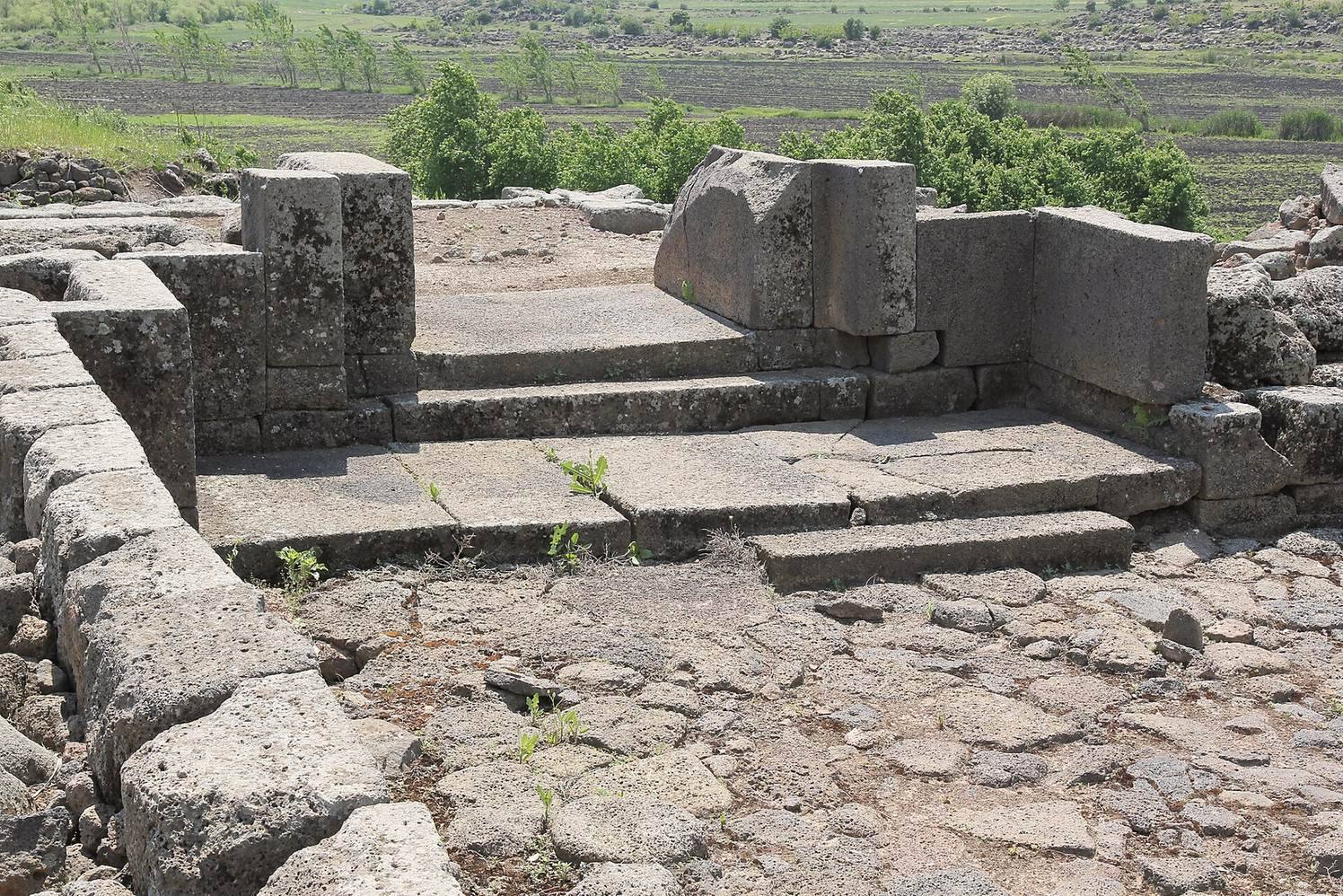
The outer fortification circuit had gates on the eastern, western, and northern sides, while the inner circuit had a monumental eastern gate. The defenses also included double casemate walls, a fortified system with compartments, built from large stones laid without mortar. These walls date to the end of the second millennium and the beginning of the first millennium BC. Rectangular defensive towers strengthened parts of the perimeter.
Gates and towers
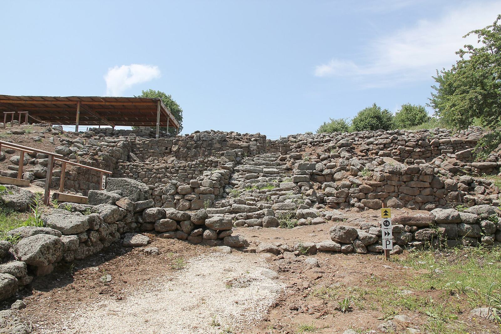
The eastern monumental gate served as the city’s main entrance. Two basalt lions were found beside it, and smaller gates were identified to the northwest and southwest. Circular towers in the northeastern part of the settlement stood eight metres high; a ramp and seventeen steps provided access to them.
Palace complex
The Middle Bronze Age palace had two building phases. In the earlier phase, four separate units stood around a stone-paved area, and two of the units had two storeys. The later phase comprised three independent structures built with very large stones. The complex resembles the palace at the ancient city of Alalakh’s seventh archaeological level. Excavations in the palace area in 1962 recovered a bulla, or clay sealing, associated with the Old Syrian period, the era of Yamhad’s ascendancy in Upper Syria. It is thought to date to the first half of the second millennium BC.
Temple and stele
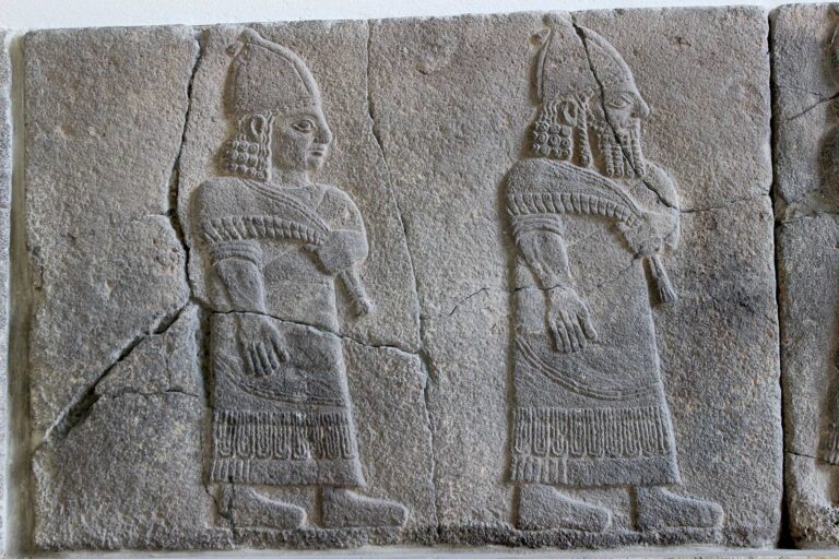
In 2004, a 67-by-53-centimetre stele, an upright carved stone slab, was found in Area M of the western lower town. It came from a monumental temple whose entrance was framed by projecting side walls, within the temple’s enclosed sacred precinct. The Old Syrian-period carving shows a standing god wearing a cap with two opposing horns, alongside an important local official.
Occupation layers and pottery
A broad burnt layer lies between level IIIb, identified with Early Bronze IVb, and level IIIc, identified with Middle Bronze I. A wholly new type of pottery appeared afterward.