Tavush Fortress: A Medieval Armenian Stronghold
Site at a Glance
- Popularity
- Medium
- Country
- Armenia
- Primary era
- Medieval
- Eras represented
- Medieval
- Civilizations
- Armenian
- Site type
- Military
- Remains
- Castle
On this page8 sections
History
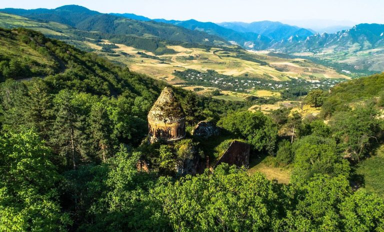
Tavush Fortress is a medieval Armenian stronghold on the outskirts of Berd, Armenia. Its construction is assigned to the tenth century, although its precise foundation date is unknown. In historical Armenia, the site lay in Tuchkatak, a district of Utik. The fortress gave its name to Tavush Province and was also known as the Fortress of Amram the Bull, after an Armenian prince.
Early medieval origins
Early tenth-century records describe the fortress as a residence for governors serving Ashot II, known as the Iron, a king of Armenia from the Bagratuni royal house. Most of these governors belonged to the family of Amram the Bull. Several princes also settled at the site amid rebellions against the Bagratuni dynasty during the ninth and tenth centuries.
Princely rule and abandonment
The fortress belonged to the Lori Kiurikids, an Armenian princely dynasty, from the tenth century until 1145. It was also held by the Vahramian-Gagetsis, an Armenian princely house, during the twelfth and thirteenth centuries. Its position guarding a gorge was considered to make it impregnable.
Tavush was abandoned from the fourteenth century, after which it deteriorated into ruins.
Remains
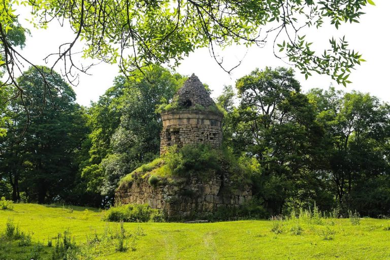
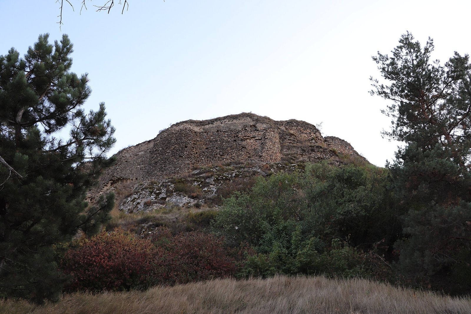
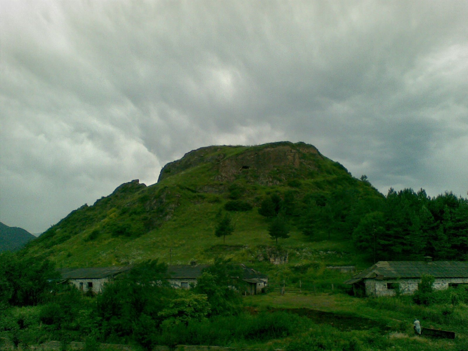
The fortress occupied a narrow, rocky hill, with a citadel on the summit and a lower fortified area on the eastern slope. Its remains include massive stone defenses, buildings, and parts of a water-supply system.
Fortified areas
Citadel
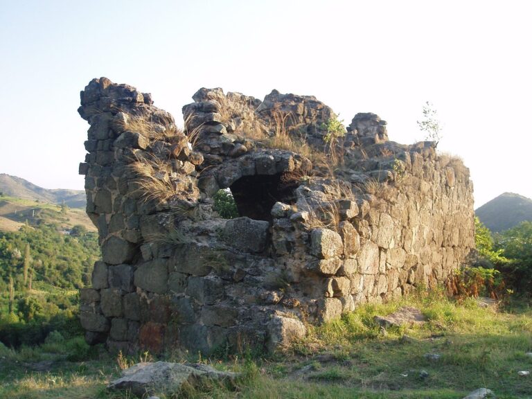
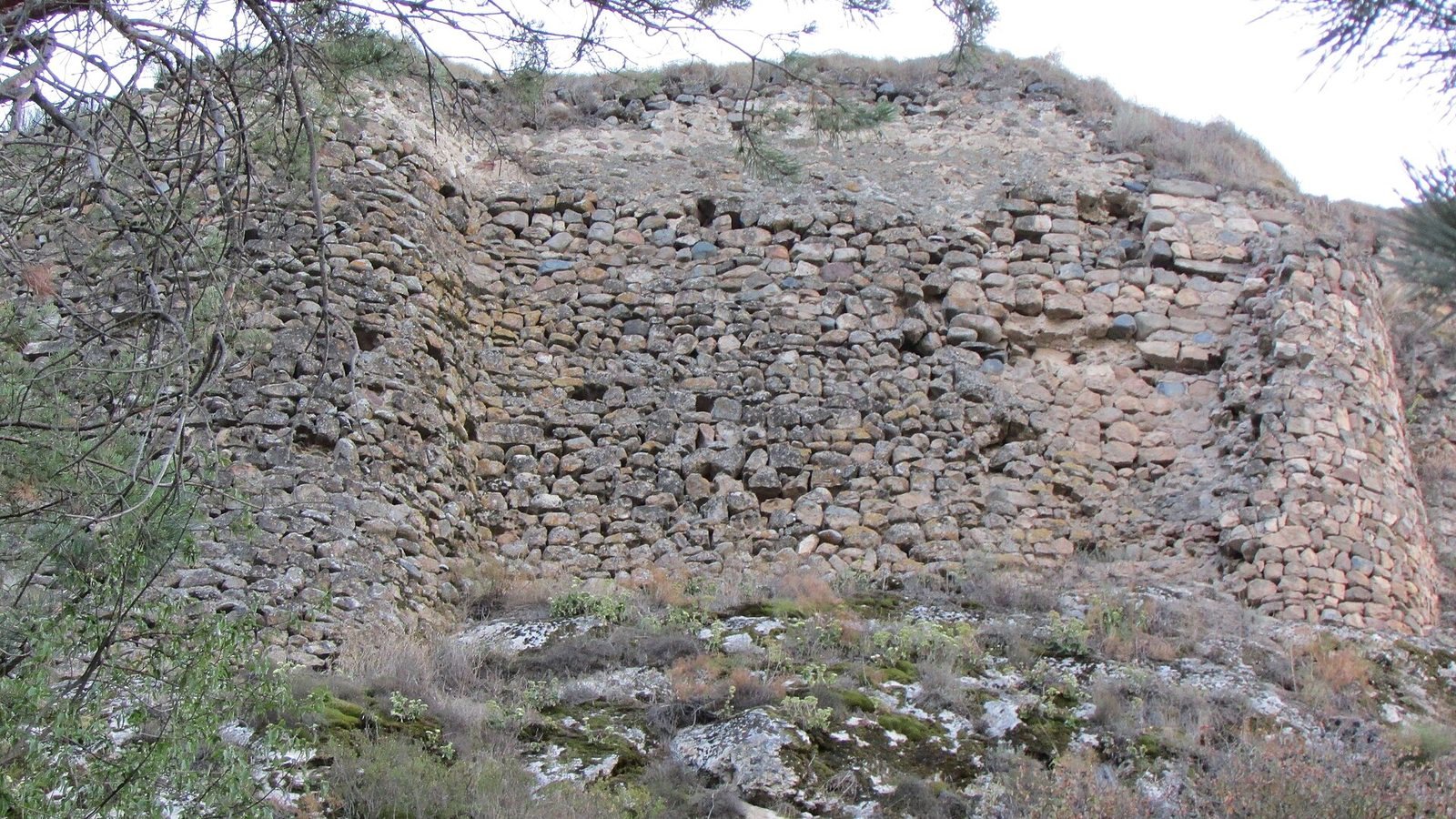
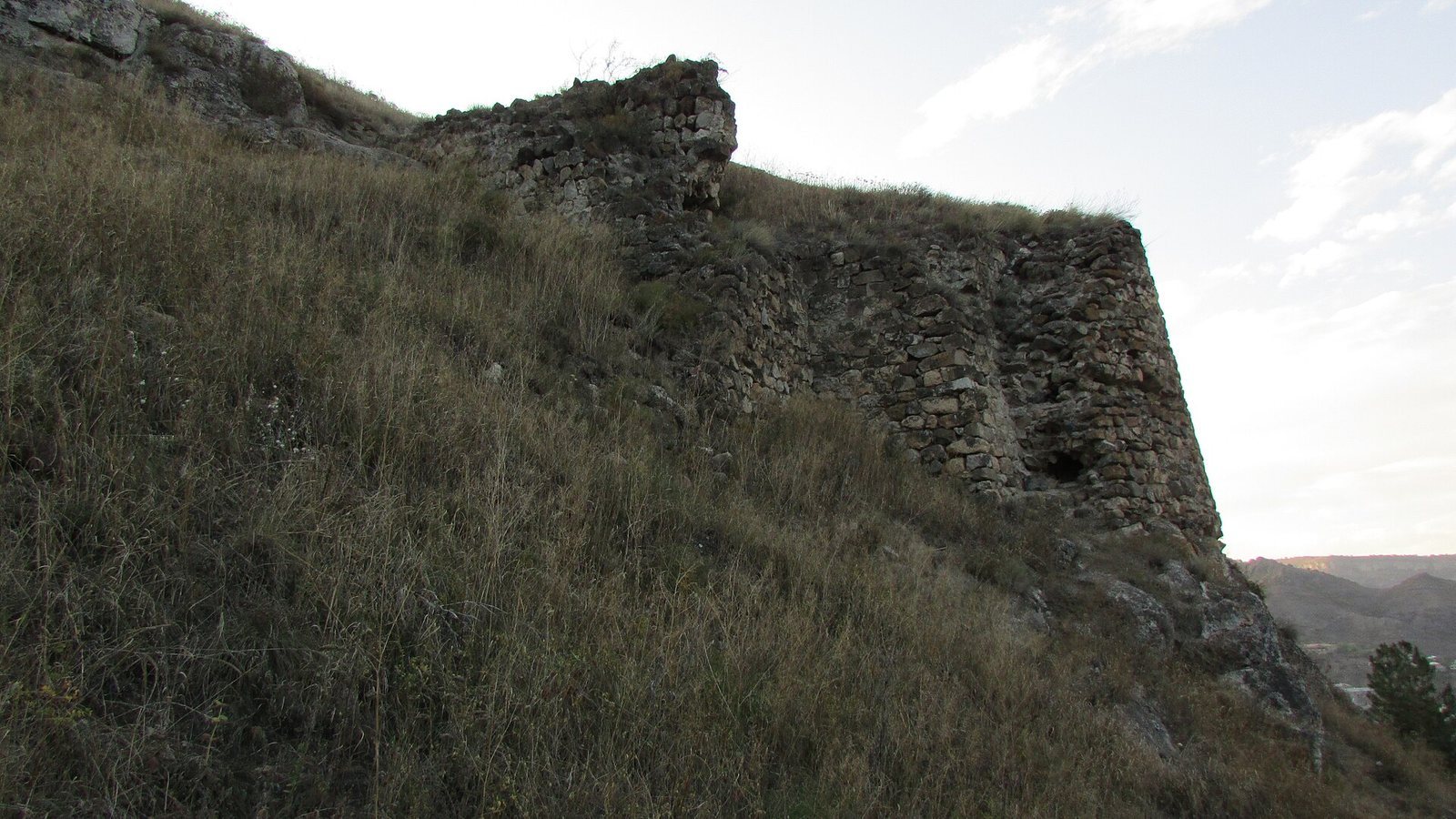
The citadel stood on the high summit of a hill no more than 25 metres wide. Its walls once reached 12 metres in height. A semicylindrical section of wall remains attached to the rampart and is built from large andesite blocks. Wall fragments survive on the eastern and northwestern sides, while traces of other buildings remain within the citadel. Its main entrance was on the southern side.
Lower fortress
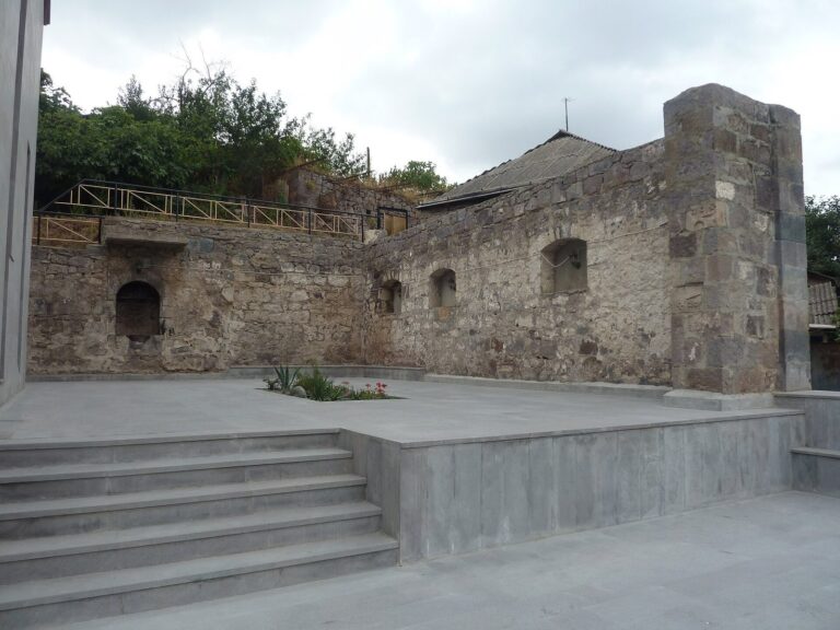
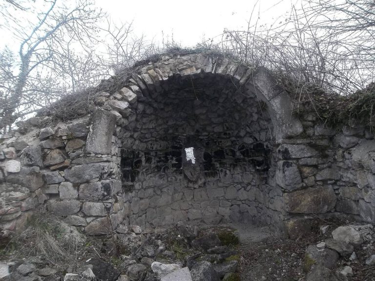
Below the citadel’s eastern side, the lower fortress extended along the hill’s eastern slope. Its remains include walls built from very large stones, a church with a vestibule-like nave, dwellings, and service buildings.
Water supply and buried remains
A water system carried drinking water from the Giglan springs through clay pipes, an unusual feature among fortifications. Some sections of pipe survive. Water was drawn at the lower part of the fortress’s southern side.
Some ruins remain visible, while much of the site lies beneath a thick layer of earth. Excavations have explored only part of the fortress, and fragments of old pottery and other small objects continue to be found there. The remains are in poor condition.