Schuerels Castle: A Medieval Castle Ruin in Luxembourg
Site at a Glance
- Rating
- 3.9
- Popularity
- Very Low
- Country
- Luxembourg
- Primary era
- Medieval
- Eras represented
- Medieval
- Civilizations
- Holy Roman Empire
- Site type
- Military
- Remains
- Castle
On this page7 sections
History
Schuerels Castle is a castle ruin in Luxembourg, located between Éischt and Wahl near Redingshaff. Its construction may date to around 1300, although the date remains uncertain, and its plain defensive form reflects a remote stronghold rather than a ceremonial residence. The ruin is also known as Schorels, Chastel de Scoreweltz, Schuerelerschlass, and Schuerelerknupp. The origins of these names are unclear, and unlike many Luxembourg castles, they do not derive from a settlement.
Proposed medieval origins
Jean-Pierre Koltz proposed that the lords of Useldingen, a medieval lordship centered on Useldange, may have established the castle after acquiring Éischt in 1292. In this interpretation, the stronghold offered refuge in a remote valley during raids and other dangers. It may also have provided temporary shelter during hunting expeditions lasting several days, but it apparently never developed into an independent lordship.
The surrounding territory of Hostert and Wahl belonged to Useldingen. A possible building phase around 1300 has been linked to the acquisition of Vichten, Pratz, and Eschette by Kuno of Ouren, who sold them to his cousin Robert of Useldingen in 1295, followed by Robert’s acquisition of Folscheid from Walter of Esch in 1298. These events provide a possible historical setting for the castle, but they do not establish its construction date.
Modern interpretation and protection
The ruins were classified as national cultural heritage on 3 April 2023. Restoration work on the three surviving windows was carried out during the twentieth century with blast-furnace cement, producing an improper repair. State-commissioned restoration began around 1980 but was discontinued after a short period.
A local legend connecting the castle with a ghost and counterfeiters later entered fiction. The story appears in Theodor Zenner’s Das Gespenst von Schorels, published in 1944, and Albert Gricius’s Das Geheimnis der Schieferburg: eine abenteuerliche Geschichte, published in 1946.
Remains
Ridge setting and outer defenses
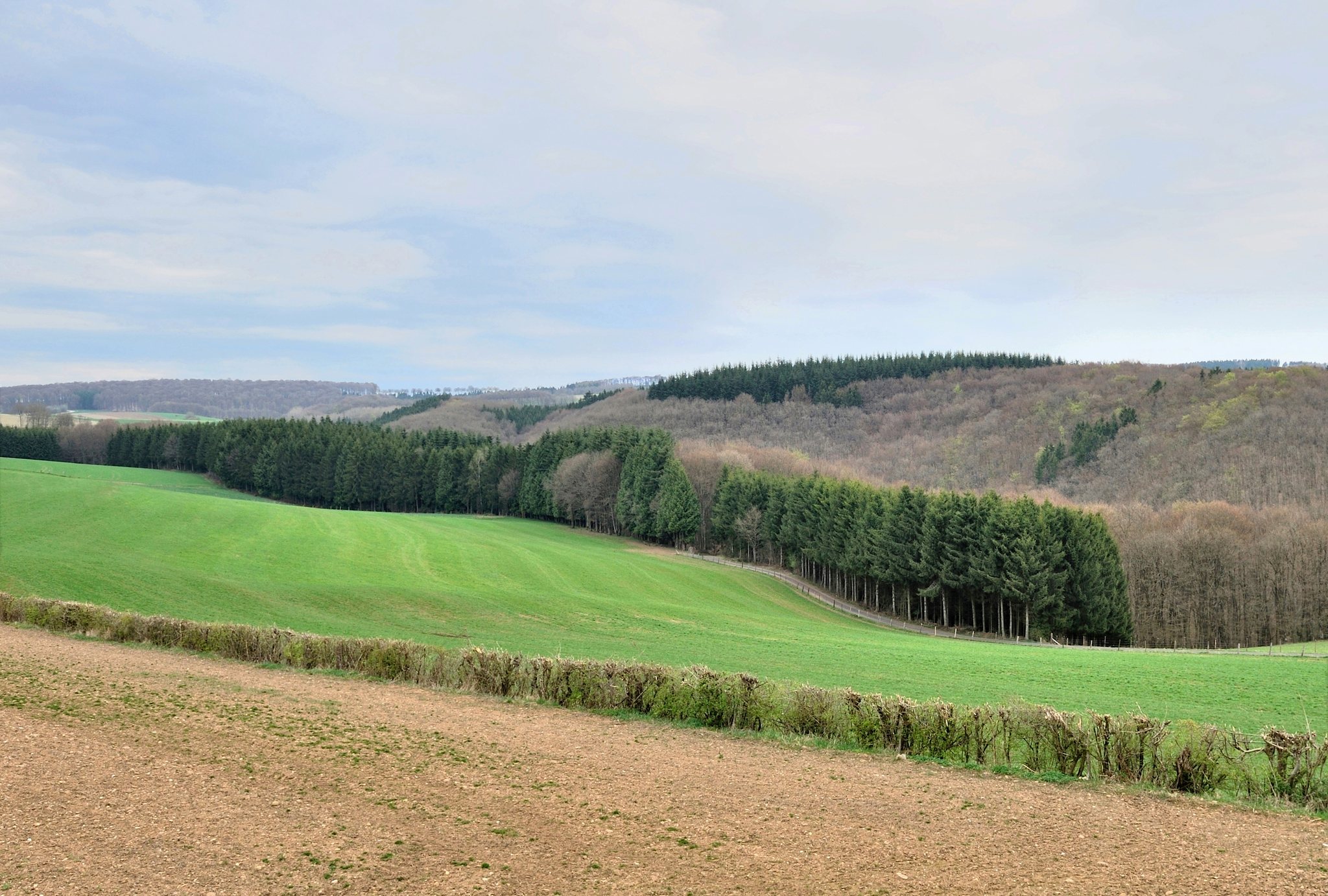
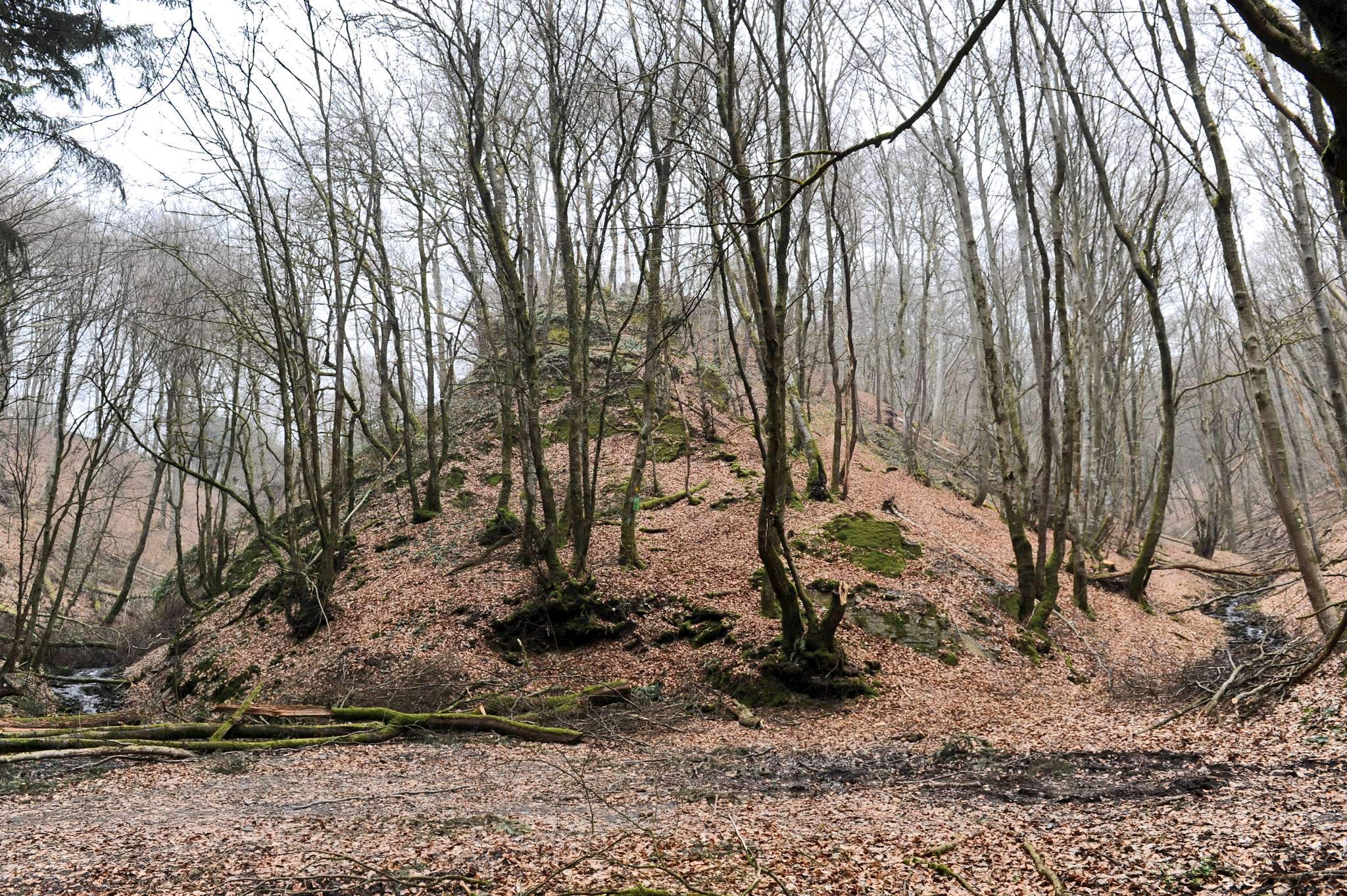
Schuerels Castle stands in woodland at the southern end of Schuerels Ridge, about 425 metres above sea level. The rocky ridge is approximately 70 metres long and 30 metres wide, extending from north-northwest to south-southeast. It lies about 30 metres north-northwest of the meeting point of the Breschterbach and a stream descending from Reidengshof.
The castle occupies a protohistoric defensive installation, meaning a fortified place from the period between prehistory and recorded history. A double rampart extends from the high plateau around the rocky ridge. In front of the castle, a transverse rampart and a ditch measuring about 14 by 5 metres remain visible. The wider defensive area also includes remains of a shield wall, a particularly strong section of fortification, together with a gate, economic buildings, a well, and an outer bailey.
Core castle
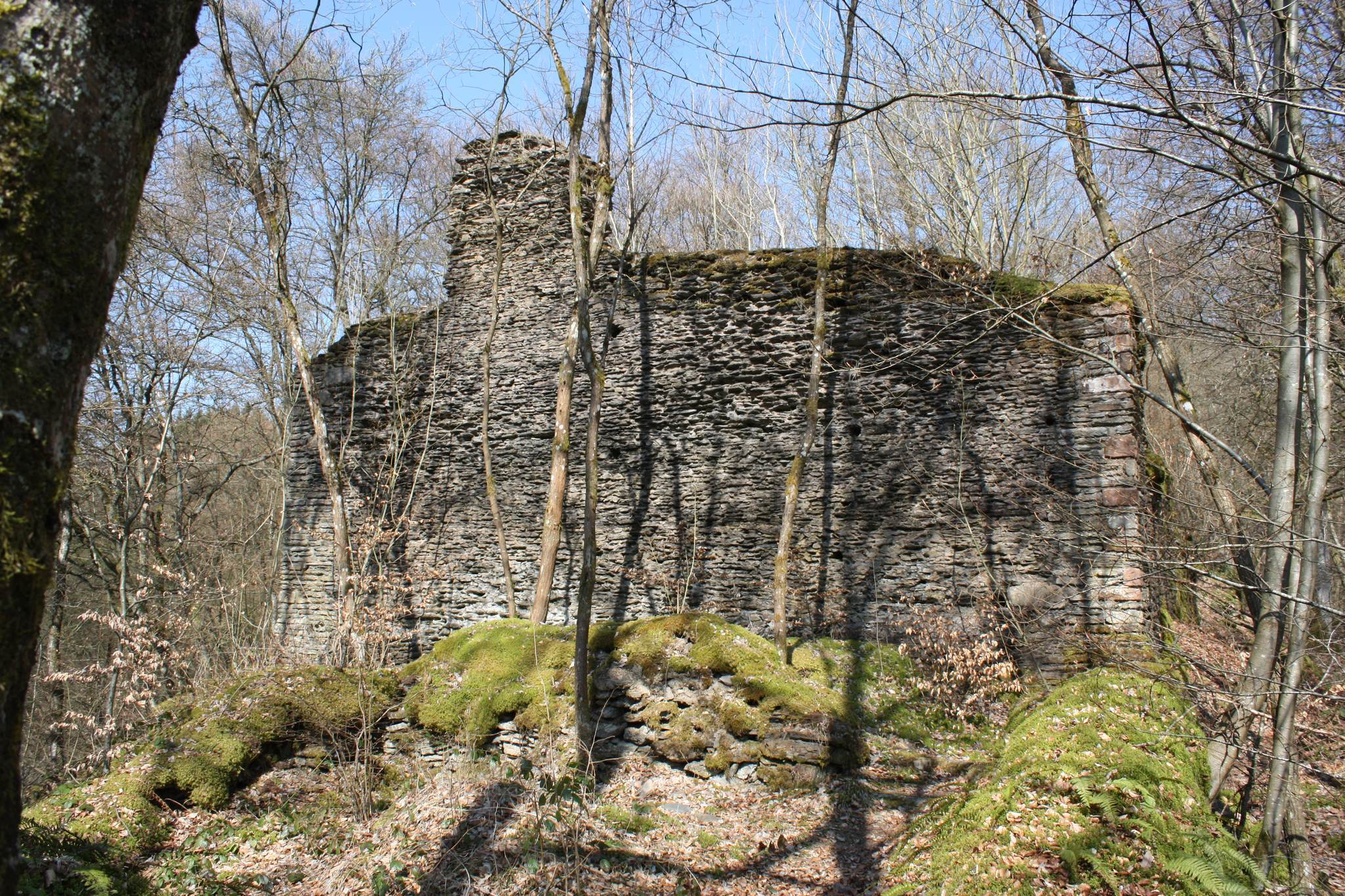
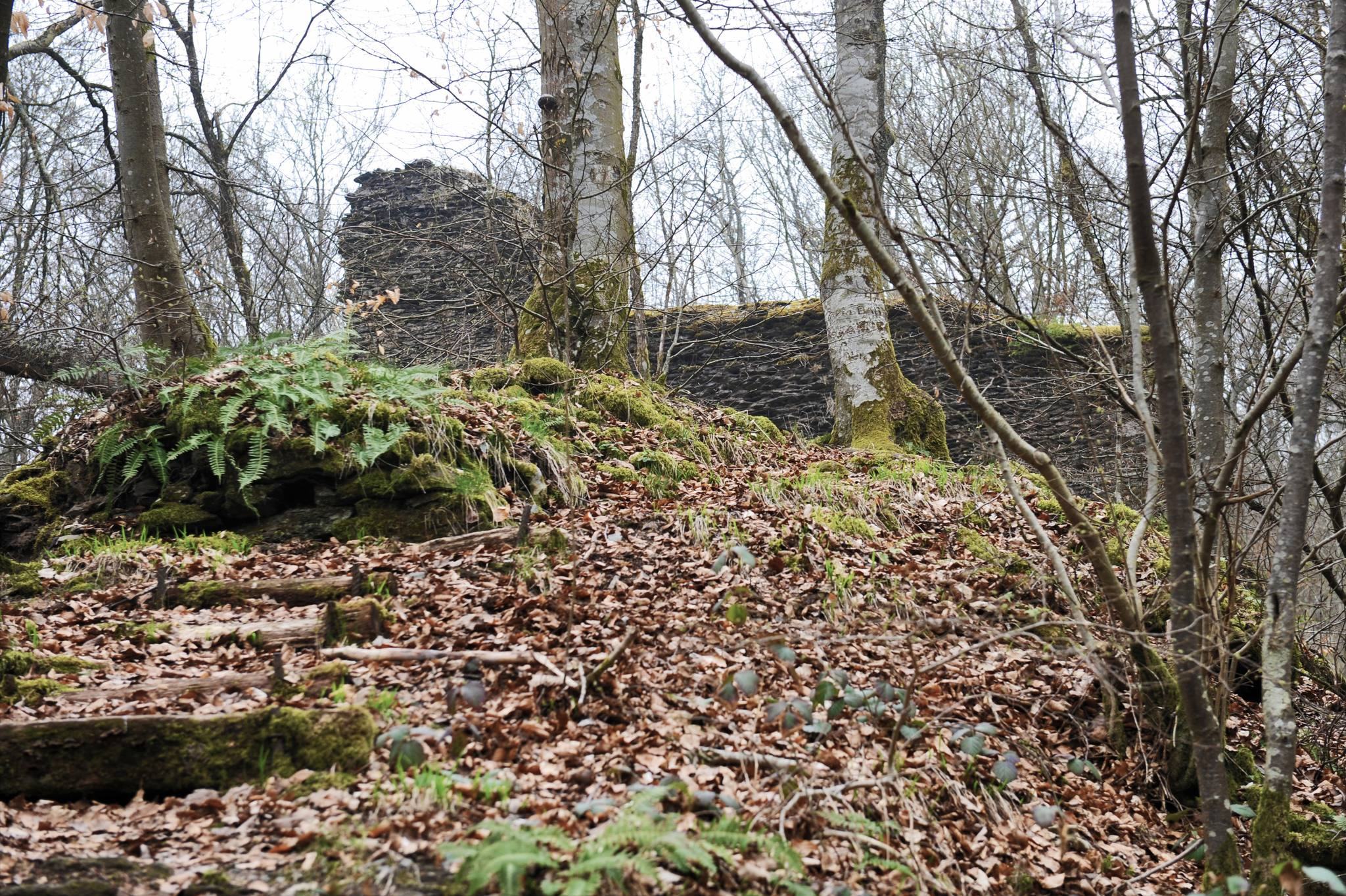
The main castle stands directly on the rocky ridge. Three exterior walls survive, forming the north, south, and west sides, and three windows remain. The principal building measures approximately 21.50 by 11.50 metres externally, while its vegetation-covered interior measures about 15.50 by 7.20 metres. Its walls range from 2 to 3.50 metres in thickness, and the metre-thick masonry is built from slate.
The architecture is plain, robust, and defensive. A smaller tower survives on the southern exterior side. The chimney has disappeared, but it was probably built into the 3.50-metre-thick north wall. Only foundation stones mark an eastern doorway that was 1.10 metres wide. Vegetation now spreads through the interior of the main building.
Enclosing wall
Parts of a substantial enclosing defensive wall survive to the east of the core castle. This outer perimeter enclosed an area of approximately 20 by 42 metres, with the passage between it and the main building averaging 2.5 metres in width. On the west and south sides, the lowest courses of the wall remain in place, preserving part of the relationship between the central stronghold and its surrounding defenses.