Schrankenfels: A Medieval Fortified Castle Ruin in France


Site at a Glance
- Rating
- 4.5
- Popularity
- Very Low
- Country
- France
- Primary era
- Medieval
- Eras represented
- Medieval
- Civilizations
- Holy Roman Empire
- Site type
- Military
- Remains
- Castle
On this page13 sections
History
Schrankenfels is a medieval fortified castle ruin in Soultzbach-les-Bains, France, built around 1220–1230 during the expansion of noble power in the valleys of Alsace. Standing above the Krebsbach valley, it was probably constructed by the Gueberschwihr family, more specifically by Dietrich of Schrankenfels, and was complete before 1261. The castle formed part of a wider network of thirteenth-century fortifications established as the surrounding valleys were cleared and lesser nobles sought to create and strengthen fiefs.
Foundation in the Thirteenth Century
In the twelfth century, the Krebsbach valley had limited strategic and economic value. It lay away from major communication routes and remained largely unexploited. From the beginning of the thirteenth century, however, the clearing of the valley opened opportunities for noble families to establish estates and fortified residences. This change contributed to a marked increase in castle construction across the area.
The relationship between the modest Schrankenfels family and Burckart of Gueberschwihr, who founded Marbach Abbey in 1089, is uncertain. By the late twelfth century, the Gueberschwihr family appears to have been vassals of the Bishop of Strasbourg. The bishop was both a senior church official and a feudal lord who could grant land or a castle as a fief. Schrankenfels may therefore have been established as an episcopal fief.
The first written reference to the castle dates from 1241, when Dietrich of Schrankenfels was named alongside Volger of Gueberschwihr. In 1261, the lord of Schrankenfels co-signed a complaint submitted by Munster Abbey. These references place the castle and its lord within the network of noble and ecclesiastical relationships that shaped the region during the thirteenth century.
Competing Noble Powers
The Krebsbach valley became contested by several noble families during the thirteenth century. The Laubgassen built Laubeck, while the Hattstatt established Haut-Hattstatt, Haneck, and Soultzbach Castle. The Girsberg family held Gigersbourg and added Wassenberg and Staufen to its possessions. The Ribeaupierre, whose holdings included Sonnenbourg at Wihr-au-Val, attempted to extend their power southward.
By the beginning of the fourteenth century, the Hattstatt and Ribeaupierre had become the principal remaining powers in the area. As political control consolidated, the group of castles gradually lost much of its usefulness. Many were abandoned or were not rebuilt after suffering destruction during the fifteenth century.
Hattstatt Control and Abandonment
A document from 1305 identifies Schrankenfels as belonging to the Bishop of Strasbourg, who had granted it as a fief to the Hattstatt family. Since the Hattstatt had held Soultzbach-les-Bains since 1250, they may have controlled Schrankenfels from the middle of the thirteenth century. Members of the Schrankenfels family nevertheless continued to live at the castle. They were vassals of the Hattstatt, who in turn held their position from the bishop.
Schrankenfels was last recorded as occupied in 1353. By 1431, it was described as a Burgstall, a term for the site or ruin of a former castle that had ceased to function as a fortified residence. A chronicle from 1470 refers to its deliberate destruction. The precise date of that event is uncertain, although it is sometimes placed in the second half of the fourteenth century.
Later Ownership and Preservation
After the Hattstatt family became extinct in 1603, the Schauenbourg acquired the castle. They appear not to have maintained it, and Schrankenfels remained in ruins. Plans and views prepared in 1604 during disputes over the Hattstatt inheritance, together with a cadastral plan made in 1780, preserve information about the site’s topography, although they do not show the appearance of the medieval castle.
Substantial remains were still visible in eighteenth- and nineteenth-century engravings, but the ruins later deteriorated considerably. The first nineteenth-century visual records included two drawings by Jacques Rothmuller. One was published as an engraving in 1863 and showed the castle from the west, with Haneck in the background. The other depicted the interior.
Around 1967, the keep collapsed and brought part of the enclosing wall down with it. In 1994, the General Council of Haut-Rhin commissioned consolidation work on the keep and the western chemise, an additional protective wall or close enclosure. Falling stones led to the site’s closure to the public again in 2019. The Department of Haut-Rhin is the current owner, while the castle’s present function is that of a ruin.
Remains
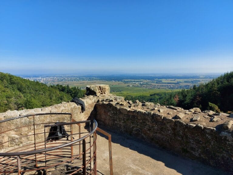
Schrankenfels occupies the summit of a ridge at 782 metres above sea level, approximately 450 metres above the valley floor. Its position overlooks the Krebsbach valley to the west, the Runzbach valley and its Kleinthal and GrossThal side valleys to the north, and the Ammelthal valley to the south. The ridge continues southeast toward Bildstoeckle, whose summit reaches 873 metres. Haneck lies about 250 metres northwest at the opposite end of the ridge, with the remains of a quadrangular construction and sections of dry-stone walling between the two castles.
Upper and Lower Castle
Upper Castle
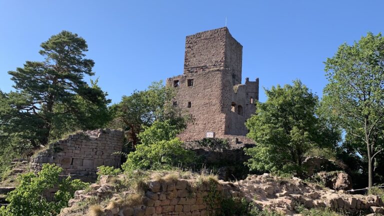
The upper castle, or Oberschloss, occupies the highest point of the site. Its principal surviving structure is a pentagonal keep, the main fortified tower of a castle, on the southeast side. This direction was probably the most vulnerable approach. The keep now stands at roughly 10 metres high. A doorway at its foot leads into the upper bailey, the enclosed courtyard associated with the main castle.
On the opposite side of the upper castle is a trapezoidal residential building. The whole upper castle was enclosed by a curtain wall, or enceinte, meaning the defensive wall surrounding a fortified site. The wall had considerable thickness and rounded corners. The 1967 collapse of the keep destroyed part of this enclosure, and the keep and western chemise later underwent consolidation.
Lower Bailey and Ditches
An artificial terrace approximately 20 metres below the upper castle, on its eastern side, served as the lower bailey. Ditches surrounded the entire castle. The northern ditch was the largest, measuring about 12 metres wide and 10 metres deep, and separated the fortified site from the rest of the ridge. Excavation of the ditches and the levelling of the platforms also supplied much of the stone used in construction.
Building Materials and Construction
Local Grauwacke and Masonry
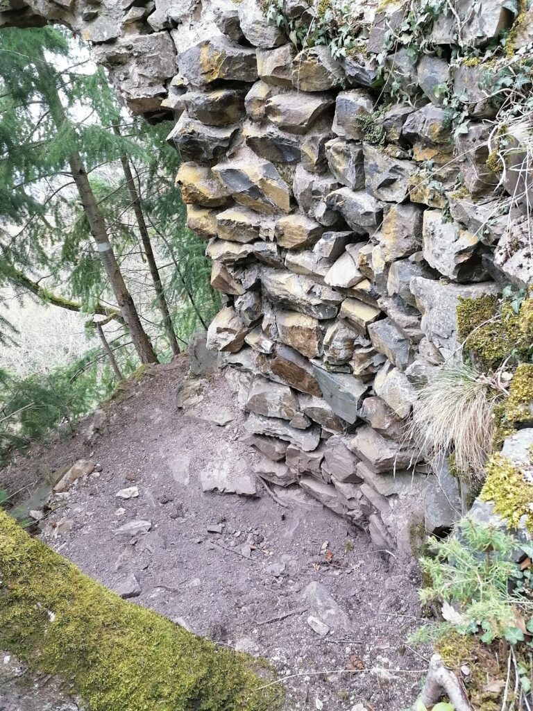
The castle was built largely from grauwacke, a durable sandstone-like rock obtained on site while the ditches were being dug and the platforms levelled. Material that was not used in the walls formed a spoil heap at the western end of the northern ditch.
The rubble core and the exterior faces received similar treatment. Roughly dressed blocks appear to have been laid as they became available, although the builders sought to keep the courses at relatively even heights. These methods simplified construction, reduced costs, and allowed the work to proceed rapidly with limited dependence on specialised labour.
Granite and Sandstone Details
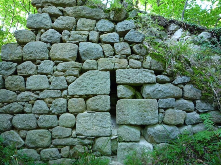
Construction also used two-mica granite, known as Turckheim granite. This stone did not occur naturally at the castle and was mainly collected as surface blocks on the eastern slope of Bildstoeckle. A small granite quarry about 350 metres northeast of Schrankenfels contains evidence of medium-sized blocks being extracted and worked. Its connection with the castle remains uncertain because its date has not been established, although Haneck is the only other known nearby construction using this granite.
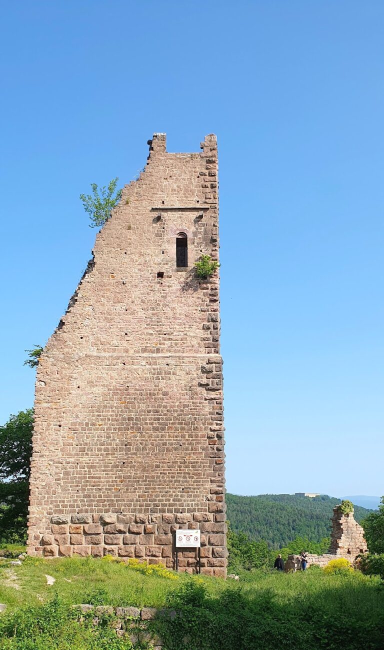
Poor-quality pink sandstone of undetermined origin formed the keep’s corner quoins, the dressed stones reinforcing the external corners of the masonry. Their use contrasts with the locally obtained grauwacke that made up most of the castle’s walls.
Burgthalschloss and the Ridge Defences
Between Schrankenfels and Haneck stands the Burgthalschloss, separated from Haneck by a ditch. Although it is generally described as a castle, its small size would not have allowed it to serve as a habitable residence. Its position and form instead indicate an advanced work of Schrankenfels, used to monitor Haneck. Together with the intervening quadrangular remains and dry-stone wall sections, it forms part of the fortified landscape on the ridge between the two larger castle sites.
Nearby sites