Scharzfels Castle: A Medieval Hilltop Fortress in Germany


Site at a Glance
- Rating
- 4.4
- Popularity
- Medium
- Country
- Germany
- Primary era
- Medieval
- External website
- Open
- Eras represented
- Medieval, Early Modern
- Civilizations
- Holy Roman Empire
- Site type
- Military
- Remains
- Castle
On this page11 sections
History
Scharzfels Castle is a medieval hilltop fortress in Germany, probably built in the tenth or eleventh century on a wooded ridge above the Oder valley. It initially belonged to the Magdeburg archbishopric, a major medieval ecclesiastical principality centered on Magdeburg. A letter issued by King Otto I in 952 lists the castle among properties granted to Pöhlde Abbey. By 969, it was held by the counts of Lauterberg, and after Werner of Lauterberg died, the castle passed to his son Bodo.
Imperial fief and comital seat
By the eleventh century, Scharzfels was an imperial fief, meaning a territory or fortress held from the emperor in return for service or allegiance. Emperor Henry IV granted it to Wittekind of Wolfenbüttel, but after Wittekind’s death in 1118 the fief returned to the emperor. In 1131, Emperor Lothair of Süpplingenburg, later known as Lothair III, acquired Scharzfels and turned it into an imperial fortress associated directly with imperial authority. A charter connected with this acquisition calls it castrum quoddam Scartuelt.
The fortress later became the seat of several comital dynasties. The counts of Scharzfeld took their name from the castle, linking their authority to the stronghold and the surrounding territory. Around 1300, Scharzfels became a fief of the Principality of Grubenhagen and passed to the counts of Hohnstein. When the Harz branch of the House of Hohnstein died out in 1593, the castle and fief reverted to Grubenhagen. Duke Henry Julius of Brunswick-Wolfenbüttel inherited the fortress in 1596, after which it passed to the Hanoverian line of the House of Welf.
Fortress, prison, and siege
In 1627, Scharzfels was enlarged, heavily fortified, and occupied by a garrison. It resisted capture during conflicts that included the Peasants’ War and the Thirty Years’ War. During the seventeenth century, its role changed as the fortress was converted into a state prison.
One of its best-known prisoners was Eleonore of the Knesebeck, who was born in 1655 and confined at Scharzfels from 1695. She had served as maid and confidante to Sophie Dorothea after Sophie Dorothea’s marriage in 1682. Eleonore had also carried messages connected with Sophie Dorothea’s extramarital relationship with the Count of Königsmarck. After repeated efforts to obtain a legal proceeding and an offer of 100,000 talers in bail failed, she remained imprisoned in a very small room.
In 1697, Eleonore escaped with assistance from the roofer Veit Rentsch and members of her family. She climbed through an opening in the ceiling and was lowered more than 20 metres down the castle rock, tied to her rescuer. Her brother-in-law and several mounted men then took her to safety. Eleonore later received an imperial letter of protection in Vienna and returned to Brunswick. She died in 1717 in a village near the city, and the family of her former mistress provided her with 2,000 talers in support.
Between 1731 and 1748, the castle was remodeled after a proposal by the local Amtmann, an administrative official, received the personal approval of George II. The work allowed the prison to accommodate eight detainees of high social standing. Among them were the Hanoverian pastor Franz Hemme, mint director Spangenberg, and Christian Böse, who escaped in 1732. Prisoners of rank could receive relatively mild treatment. In 1756, Spangenberg was allowed to walk near the castle under guard for the sake of his health.
Destruction and conservation
Scharzfels was attacked during the Seven Years’ War, the major European conflict fought from 1756 to 1763 between Prussia, Britain, France, Austria, and their allies. In 1761, approximately 6,000 French troops besieged the fortress. Its defenders consisted of 40 artillerymen, 100 infantrymen from the Harz, and 250 Hanoverian invalids. The first assaults and bombardment failed, but the French learned of a concealed route to the nearby Liethberg. From there they destroyed the Frauenstein outwork and brought the castle under fire.
After a ten-day siege, the garrison surrendered on 25 September 1761. French troops occupied the castle for four days before blowing it up and withdrawing when they learned that Prince Ferdinand of Brunswick, the Allied commander, was approaching. Scharzfels has remained a ruin since that destruction.
From 1856, King George V of Hanover began measures to secure and prepare the surviving remains. The castle area was leveled, and a large staircase and gate leading to the upper castle were reconstructed. The neo-Gothic upper gate built under George V collapsed in 1959, while the large stone staircase deteriorated. The staircase was rebuilt and fitted with a railing in 1998 after a concrete staircase constructed around 1960 had been removed.
A restaurant was established in the lower castle during the second half of the nineteenth century. In 1962, the Barbis branch of the Harz Club created the present castle restaurant on the site of the former inn. Since 2019, the upper ward has been closed because of the danger of collapse, and repairs were planned as of 2024.
Modern reconstruction has also shaped the interpretation of Scharzfels. In 2018, the Scharzfels Castle Ruins Working Group began a digital reconstruction of the fortress as it may have appeared around 1700. The three-dimensional model drew on laser-scanning data, historical plans held in the Lower Saxony State Archive in Hanover, older illustrations and engravings, and building records that recorded alterations. Between 2021 and 2023, a physical model measuring 1.40 by 2.20 metres was produced from the digital data and installed in the museum at Herzberg Castle in 2024.
Remains
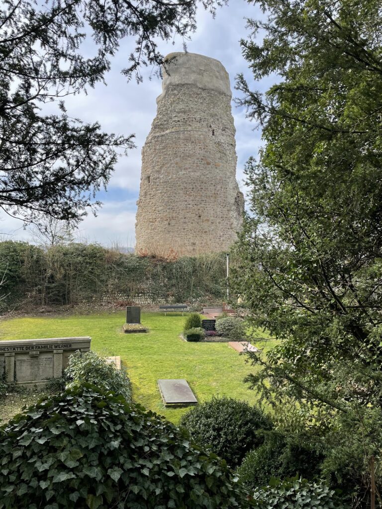
Scharzfels occupies a wooded ridge east of Scharzfeld, approximately 150 metres above the Oder valley and about 376 metres above sea level. The upper ward stands on a dolomite outcrop roughly 20 metres high. The rock has a ground area of approximately 20 by 60 metres, and its steep faces formed a naturally defensive position. Stone buildings were set on the summit or fitted into gaps in the rock, creating a fortress whose surviving spaces are closely tied to the geological formation.
Lower and upper wards
Lower ward
The former lower, or outer, ward is now a level terrace. Its visible features include a well house, the excursion restaurant, and the Schlossberg shelter. In the Middle Ages, the area contained a gatehouse and was surrounded by gardens and a cemetery. The terrace therefore represents the lower approach and service area of the fortress, while the principal defensive and residential remains occupy the rock above.
Upper ward
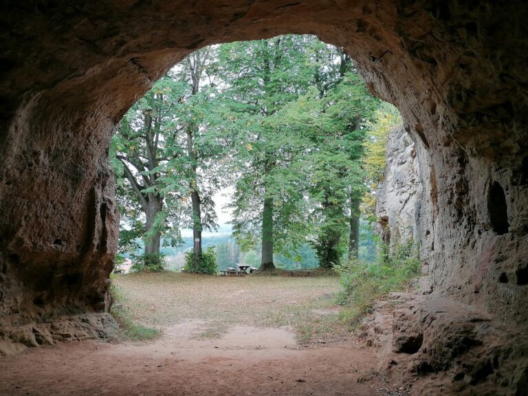
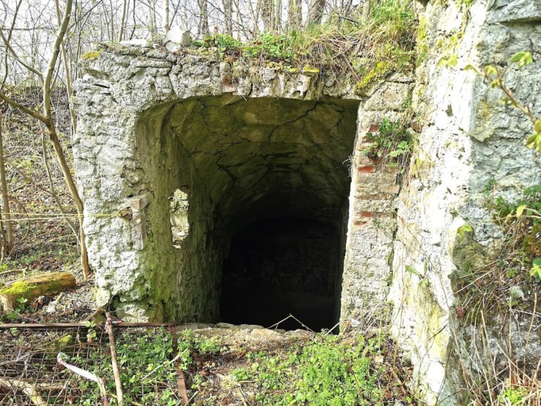
A staircase built in the nineteenth century connects the lower ward with the upper ward. The upper fortress was reached by crossing a drawbridge from the staircase and entering a passage cut directly into the rock, rather than passing through a conventional gate building. The rock-cut corridors and rooms survive, including an approximately 15-metre passage leading from the castle entrance.
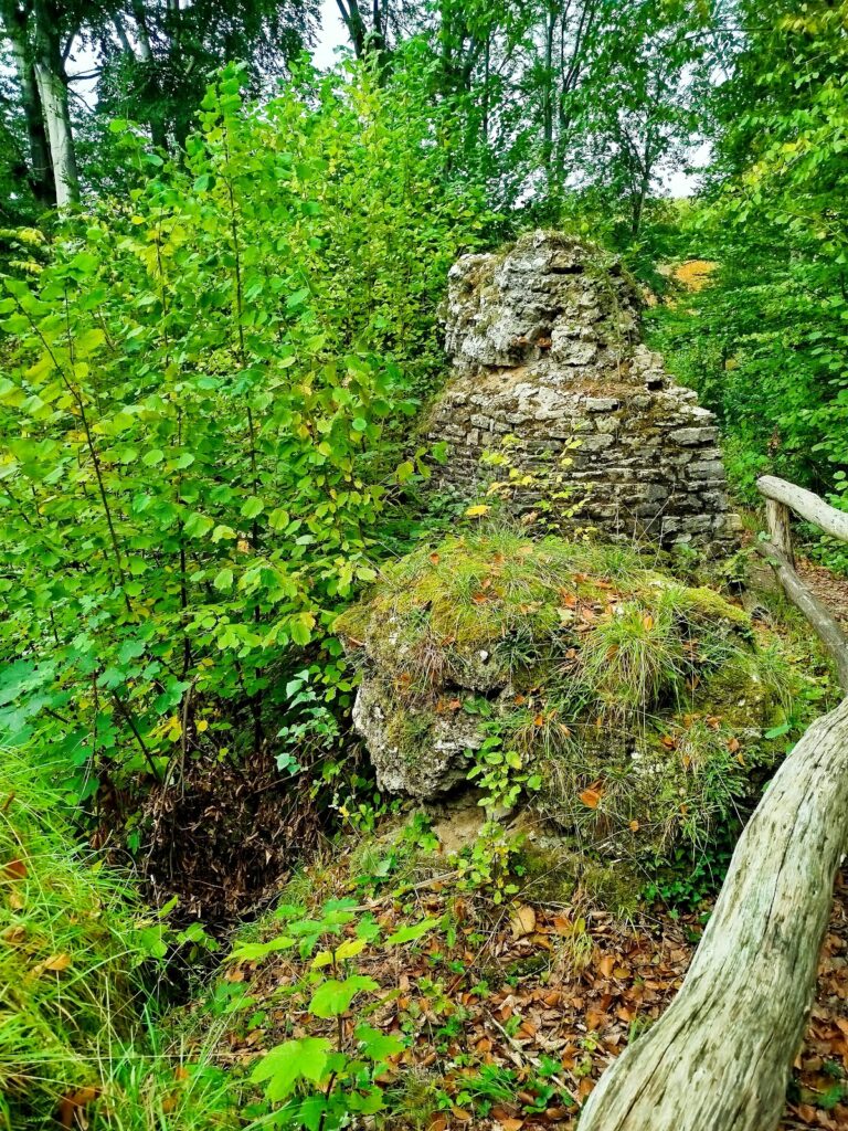
Contemporary depictions show that the upper fortress included at least a palas, the principal residential and representative hall of a medieval castle, and a fortified tower. The courtyard group also contained the commandant’s house, chapel, landdrost’s house, pages’ house, barracks, and a southwest bastion. A bastion was a projecting fortification designed to support defensive fire. Fragments of the former buildings and defensive wall remain and have been restored, while the rock-cut spaces preserve part of the internal arrangement.
Outworks and surrounding defenses
Frauenstein outwork
The Frauenstein outwork stood on a rocky elevation approximately 400 metres northeast of the castle. It consisted of an observation tower and an associated defensive work. The latter was destroyed by French bombardment during the siege of 1761, when the position was used to bring fire against the main fortress.
Schandenburg
South of the castle lies the Schandenburg, first mentioned in 1596. It is a siege entrenchment with a square plateau measuring about 20 metres on each side. An earthen rampart and ditch secured the position. Its possible earlier use as the emplacement for a trebuchet, a large medieval siege engine for throwing projectiles, remains uncertain.
The north face of the dolomite rock is used for climbing. A lime tree planted on the castle grounds on 15 September 2013 serves as a peace memorial. It commemorates both the fiftieth anniversary of the Élysée Treaty and the 250th anniversary of the peace settlement that ended the Seven Years’ War between Electoral Hanover and France.
Nearby sites