Roman Walls of Lugo: Late Roman Fortifications in Spain

Site at a Glance
- Rating
- 4.7
- Popularity
- High
- Country
- Spain
- Primary era
- Classical
- External website
- Open
- Eras represented
- Classical, Medieval, Modern
- Civilizations
- Crown of Castile, Roman
- Site type
- Military
- Remains
- Wall
On this page22 sections
History
The Roman walls of Lugo in Spain are a late Roman defensive enclosure built around the city of Lucus Augusti during the later Roman Empire, probably beginning around AD 260–263 and reaching completion between the late third and first half of the fourth century, possibly around AD 325. They enclosed the Roman settlement founded around 13 BC by Paulus Fabius Maximus on behalf of Augustus, the first Roman emperor, and helped define the city that became a colonia, a Roman civic settlement with Roman institutional status, in the province of Hispania Tarraconensis.
Foundation of Lucus Augusti
Lucus Augusti was established to consolidate Roman control of northwestern Iberia. Its position gave it strategic and communications value, while the city also developed commercial importance. The later fortification enclosed parts of the existing settlement, but it also incorporated uninhabited and agricultural land and left some residential districts outside the defensive circuit. Unlike Roman cities that contracted when new walls were built, Lugo continued to grow.
The date of construction belongs to the second half of the third century on the basis of archaeological evidence and the materials used. The enclosure appears to have been conceived as one large undertaking rather than as a series of independently dated building phases. Its precise purpose remains uncertain. Defense against local and Germanic groups may have been one consideration, alongside the strategic position of Lucus Augusti, its expanding commerce, shelter from cold northern winds, the prestige of monumental fortification, and the employment that such a project could provide.
Medieval transformation
Lugo gradually lost population under the rule of the Suebi, a Germanic people who formed a kingdom in the northwest of the Iberian Peninsula, and the Visigoths, whose kingdom later ruled much of Hispania. Alfonso I attempted to reverse the decline, but recovery began only after the city was reconquered from Muslim forces. Lugo fell into the hands of Musa during the eighth-century Muslim conquest and control of the city. In 998, Almanzor, the leading military ruler of the Cordoban caliphate, attacked Lugo and demolished one section of the walls without taking the town.
During the later Middle Ages, a new population center formed around the Plaza Mayor, while considerable areas inside the fortifications remained thinly settled. Unbuilt land still existed within the walls at the beginning of the nineteenth century. Medieval military works altered parts of the Roman circuit. In the fourteenth century, Infante Don Enrique, a medieval royal prince, ordered a defensive complex over the wall near the later Porta de San Pedro. A castle was later built over another section. Bishop Francisco Izquierdo ordered its demolition in 1757 and replaced it with an ecclesiastical prison and two houses. Income from the houses was intended to pay for repairs to the aqueduct and two newly built public fountains.
From the sixteenth century, houses began to fill the spaces between the exterior towers. This occupation encouraged the city to expand beyond the fortifications. Porta Falsa, a small secondary military entrance, was reopened in 1621 after having probably been closed during the medieval period.
Modern adaptation and protection
The walls again acquired a military role during the Carlist Wars, nineteenth-century Spanish civil conflicts involving rival claims to the throne. In 1837, the Reducto de María Cristina was constructed as an artillery position between Porta de Obispo Aguirre and the tower of A Mosqueira. It joined two sections that had previously been separated by medieval buildings used as a fortress. In 1990, an original tower, or cubo, believed to belong to the former principal gate, Porta Castelli, was found at the site of the reduct.
Urban expansion led to the opening of five further gates between 1853 and 1921. San Fernando opened in 1853, the Estación in 1875, Obispo Izquierdo in 1888, Obispo Aguirre in 1894, and Obispo Odoario in 1921. The last opening required the unauthorized demolition of part of the wall to create access to the Hospital de Santa María. This action led directly to the wall’s protection as a National Monument on 16 April 1921. The walls have remained a protected Spanish monument since that year.
The Operación Muralla Limpia began in 1971 and removed buildings attached to the monument’s exterior face. Archaeological work in 1987 established the survival of traces of the moat, while the Integral Wall Plan rehabilitated the historic stairways leading to the parapet walk. The walls were inscribed on the UNESCO World Heritage List on 30 November 2000 under cultural criterion iv. In 2015, they became an individual property within the UNESCO extension covering the Routes of Santiago de Compostela, specifically the Primitive Way.
The fortification was twinned with the Great Wall of China at a ceremony in Lugo on 6 October 2007. Its continuing incorporation into the urban structure has changed its relationship with the city. Once an obstacle to expansion, the circuit now connects the historic center with the surrounding urban area, while its upper walkway serves as a pedestrian route.
Remains
The surviving fortification follows an irregular quadrangular, almost elliptical plan with softened corners. It extends for about 2,266 metres around approximately 33.4 hectares of ground. The circuit follows uneven terrain, rising toward the northwest and descending toward the southeast. Its walls are generally 8–12 metres high and average 4.20 metres in thickness, although some sections reach about 7 metres. The parapet walk, or adarve, varies from roughly 4.5 to 7 metres wide and can be followed around the entire circuit.
Walls, towers, and defensive spaces
Construction and moat
The outer faces are built chiefly from slate slabs. Granite was used especially around the gates and to reinforce tower bases, corners, and other vulnerable points. Inside, a core of earth, loose stone, and pebbles was bonded with water and supplemented by reused Roman stone from demolished buildings. The original defense comprised the wall, a moat, and an intervallum, the clear strip immediately inside a fortification used for circulation, defense, and military logistics.
The moat lay about 5 metres beyond the towers. It was approximately 20 metres wide and 4–5 metres deep and could be filled with water. Only traces survive. Excavated sections show that it consisted of adjoining stretches rather than one continuous ditch. Channels in the bottoms of these sections have been identified, although their purpose remains uncertain.
Intervallum
The intervallum extended around the whole enclosure as a lower defensive circulation space and supported military provisioning. Over time, buildings progressively occupied it. More than 30 structures stood against the wall by the middle of the twentieth century, before the clearance campaign removed buildings attached to the exterior face and helped restore the legibility of the monument.
Towers and parapet access
The original circuit had approximately 85, or possibly 86, towers. About 71 survive in whole or partial form, including 60 circular and 11 quadrangular towers. Their arrangement was intended to eliminate blind angles, although the intervals were irregular, ranging among surviving measurements from about 6.3 to 16.4 metres.
The towers probably rose through at least two upper storeys and had large windows topped by semicircular arches. These openings gave broad views, permitted visual communication with neighboring towers, and may have held defensive weapons such as crossbows, onagers, and scorpions. Onagers projected stones, while scorpions projected bolts. A Mosqueira preserves the principal surviving evidence for this elevated arrangement, including two semicircular-headed windows measuring approximately 1.15 by 1.43 metres and another reaching 1.53 metres.
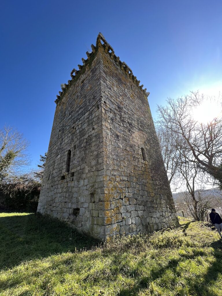
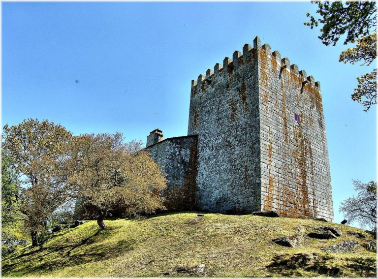
A Mosqueira is the only surviving partial example of the former raised tower crowns. It was preserved during the general reform carried out around 1837 by architect Alejo Andrade Yáñez. The original routes to the parapet used double stairways embedded in the tower walls. Traces of 16 such stairways have been identified, probably one per tower. They stopped above ground level, so removable ladders were needed to reach the first step and isolate the wall in an emergency. Six external stairways and one ramp now provide access, at Campo Castelo, Praza do Cantiño, Porta da Estación, Porta Falsa, Porta Nova, Porta Miñá, and beside Porta de Santiago.
Roman and medieval gates
The original five principal gates corresponded to the main streets of the Roman town. They are identified with Porta Miñá, Porta Falsa, Porta de San Pedro, Porta Nova, and Porta de Santiago. Only Porta Miñá and possibly Porta Falsa retain original Roman fabric in their present structures. The former principal entrance, Porta Castelli, stood where the Reducto de María Cristina was later constructed. Wooden doors once closed the gates and survived in varying condition until the nineteenth century, disappearing definitively after 1877.
Porta Miñá
Porta Miñá, also known as Porta do Carme, Minei, or Mineana, is the oldest surviving gate and the least altered. Set in a hollow, it is 3.65 metres wide. A barrel vault and semicircular arch stand between two towers built of granite and slate. A guardroom occupies the parapet level, while two rectangular inner towers create a secondary gate. The space formerly used by the portcullis mechanism became the chapel of Saint Ramón until 1873. The gate faced demolition in 1870 but survived because the municipality could not meet the associated cost.
Porta Falsa
Porta Falsa was a small military posterula, meaning a secondary or military gate, probably used by the Roman garrison. It measures about 3.45 metres wide and 5.65 metres high, or 11.50 metres from the ground to the parapet at that point, and is set on a slope. Probably closed during the Middle Ages, it reopened in 1602 and later served messengers traveling toward the road to A Coruña. Its present access includes an exterior stairway.
Porta de San Pedro
Porta de San Pedro occupies the site of a Roman gate used by roads XIX and XX from Asturica Augusta, now Astorga, and Bracara Augusta, now Braga. Medieval names for it included Porta de Sancti Petri and Porta Toletana. The gate also marks the entry of the Primitive Way to Santiago de Compostela. It is 3.70 metres wide and 4.85 metres high, reaching 10.80 metres to the parapet. A half-barrel vault and transverse arch are flanked by two towers. A guardroom once used as the Chapel of the Hermitages was demolished in 1860. The exterior carries Lugo’s coat of arms and an inscription referring to its reconstruction in 1781.
Porta de Santiago
Porta de Santiago, also called Porta do Pexigo, Pexigu, or the Postigo, existed in Roman times. Until 1589 it served as a private entrance for cathedral canons going to their gardens. It remained open during epidemics and had a drawbridge. The opening is 4.15 metres wide and 5.50 metres high, with 6.90 metres from ground level to the parapet. Bishop Izquierdo y Tavira widened it for carriages in 1759 and added an interior image of Saint James and the bishop’s coat of arms.
Porta Nova
Porta Nova was a Roman gate on the route toward Brigantium, now Betanzos, and remained the main northern communication route until Porta de San Fernando opened in 1854. The medieval gate was demolished in 1899 and replaced by the present structure, inaugurated in April 1900 and attributed to architect Juan Álvarez de Mendoza. The current opening is 4.60 metres wide and 8 metres high, with a segmental arch and ashlar masonry. A former guardroom adapted as a chapel and a surviving customs room remain associated with the gate.
Gates of urban expansion
Porta de San Fernando
Porta de San Fernando, also called the Prince Alfonso Gate, was begun in 1853, completed the following year, and inaugurated in 1858 by Queen Isabel II. It was named for her son and became a principal entrance to the old city. Reconstruction or enlargement in 1962 produced the current form, which is 12.50 metres wide and 7.50 metres high. Its passage has an oblique, horn-shaped vault and accommodates vehicles as well as pedestrians.
Estación Gate
The Estación Gate opened in 1875 under architect Nemesio Cobreros Cuevillas to connect Lugo with its railway station. It was enlarged the following year by removing its two flanking towers. The gate was demolished in 1921 and rebuilt that year by Luciano Travadelo. It is 10 metres wide and 8 metres high, has a segmental arch, and retains two attached rooms formerly used as customs offices.
Obispo Izquierdo Gate
The Obispo Izquierdo Gate, also known as the Prison Gate, opened in 1888 to provide access to the new prison, courthouse, and guard-changing point. Designed by Nemesio Cobreros Cuevillas, it is 4.32 metres wide and 7.15 metres high, or 8.10 metres to the parapet. Its semicircular arch and barrel vault are accompanied by a customs room. The dimensions were shaped by earlier stairs at the site, probably Roman in origin.
Obispo Aguirre Gate
The Obispo Aguirre Gate opened in 1894 to connect the city with the seminary built in 1885 and the cemetery inaugurated in 1858. Also designed by Nemesio Cobreros Cuevillas, it measures 10 metres wide and 8.15 metres high. It has a segmental arch and customs rooms. Its construction required the demolition of two towers containing Roman inscriptions. A commemorative plaque honors Bishop Gregorio María Aguirre.
Obispo Odoario Gate
The Obispo Odoario Gate was opened in 1921 to provide access to the Hospital de Santa María. Construction was completed in 1928 from a project by Ramiro Sainz, later modified by Ricardo García Puig. It is 12 metres wide and 9.10 metres high, reaching 10 metres to the parapet, making it the highest gate. Its passage has a segmental arch and an oblique, horn-shaped vault.
Posterns, streets, and archaeological remains
Seven small posterns were placed near towers to make them easier to defend. One secondary opening opposite the Delegation of Development connected the modern Camiño das Estántigas with routes toward the Field of Mars and its temple. It has been adapted into the outer wall and opens into a vaulted room containing an electrical transformer. Another opening opposite Santa María Hospital is blocked but retains its semicircular arch. A further postern near Vilalba Street and Recatelo is also blocked, although its arch survives and nineteenth-century plans still show it in use.
A fifth postern opposite the Convent of the Little Sisters linked the Roman bridge over the Chanca River with the city’s main decumanus, one of the principal street axes of a Roman town. Its blocked arch and internal approach remain visible, and its use was remembered into the early twentieth century. A sixth postern at the present Estación Gate was replaced by that entrance in 1875. A seventh, opposite the Delegation of the Xunta de Galicia, still appeared in nineteenth-century plans. An 1861 plan showed it as the only postern near Porta Falsa that had been demolished.
The wall circuit is crossed by routes corresponding to the Roman cardines and decumani, the principal streets that normally intersected near a town’s civic center. Porta de San Pedro served roads from Asturica Augusta and Bracara Augusta. Porta Nova led toward Brigantium, Porta Miñá toward Iria Flavia and the Miño, and Porta Falsa toward the coast and Lucus Asturum. Several gates retain fielatos, rooms where entry taxes were collected and people and goods entering or leaving the walled area were checked. Six of the ten gates are for pedestrians, while four permit road traffic.
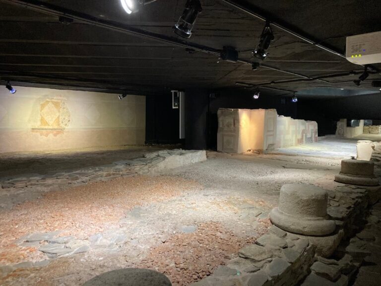
Near Porta de Santiago lie the archaeological remains of the Domus of Mithras. At this location, the foundations of the wall and the lime-mortar rendering of its face can be seen. The evidence connects the fortification with the earlier urban fabric of Lucus Augusti while preserving a physical point at which the Roman city and its defensive enclosure can be studied together.