Portus: Rome’s Imperial Maritime Harbour
Site at a Glance
- Popularity
- Very High
- Country
- Italy
- Primary era
- Classical
- Eras represented
- Classical
- Civilizations
- Roman
- Site type
- Infrastructure
- Remains
- Harbour
On this page19 sections
History
Portus was a Roman maritime harbour on the north bank of the Tiber’s mouth on Italy’s Tyrrhenian coast, about 4 km north of Ostia. Construction began under Emperor Claudius in AD 42, when Rome needed a larger, safer port for a population of about one million. Portus became the city’s principal harbour for roughly five centuries, receiving grain and metals from North Africa and Hispania, as well as glass, ceramics, marble, enslaved people and wild animals destined for Rome.
The harbours of Claudius and Trajan
Claudius’s harbour was inaugurated by Nero in AD 54 after twelve years of work and named Portus Augusti, or “Port of Augustus.” A channel from the Tiber helped connect the harbour with the river. An inscription from AD 46 records the construction of channels for the project and Claudius’s claim that they would also help protect Rome from floods. Unlike Ostia’s river port, where cargo had to be transferred from ships offshore, Portus could receive large vessels and shelter them from southwesterly winds. Storms remained a danger, however. In AD 62, about 200 ships sank there. Silting also required repeated, costly dredging because currents within the broad basin were too weak to clear it effectively.
The harbour’s growth brought changes to its administration. A procurator responsible for harbour affairs replaced the quaestor who had overseen Ostia. The Via Portuensis, probably built under Claudius, linked Portus to Rome over a distance of about 24 km. To reduce storm damage and the expense of maintaining the first harbour, Emperor Trajan commissioned another basin farther inland. Work took place in AD 103, with Apollodorus of Damascus associated with the project. Portus assumed the largest share of Rome’s harbour traffic, although Ostia retained its importance for a time.
Late Roman port and settlement
Under Constantine I, Portus gained municipal status and administrative autonomy, probably in AD 313–314. Its formal name became Civitas Flavia Constantiniana Portuensis, the Flavian-Constantinian community of Portus, in the emperor’s honour; Portus Romae was also commonly used. Constantine’s policies encouraged the settlement’s early Christianization. Portus became a diocese in the region around Rome, and its first historically known bishop, Gregory, attended the Council of Arles, a meeting of Christian bishops, in AD 314.
Portus faced repeated attacks during the fifth century. Alaric’s forces assaulted it in AD 408, then cut Rome’s communications with the port during his campaign against the city in AD 410, seeking to starve Rome into submission. The Vandals under King Genseric attacked Portus in AD 455, but it recovered. Cassiodorus later described ships moored at its quays, and the historian Procopius of Caesarea called it prosperous in the sixth century. Trade continued into the middle of the fifth century.
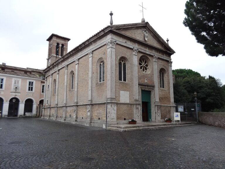
The harbour’s final major blow came in AD 537, when the Ostrogothic king Vitiges invaded during the Gothic War, the sixth-century conflict between the Ostrogoths and the Byzantine Empire. Warfare between the Ostrogoths and Byzantines further weakened Portus. As Byzantine control took hold, the imperial palace and surrounding areas were demolished, and the administrative centre moved to the area around Basilica Portuense, which remained in use at least until the thirteenth century. The population declined as people moved toward the safer episcopal centre and other nearby settlements. The Claudian basin largely silted up by the sixth century, and some disused warehouses were reused for burials. The decline also unfolded as Rome’s population fell to an estimated 30,000–40,000.
Medieval history and modern recovery
Coastal depopulation and Saracen raids led to the transfer of Portus’s bishop’s seat and cathedral to Tiber Island in Rome during the ninth century. A tenth-century papal bull encouraged ships bound for Amalfi to unload their cargo at Portus, apparently as an effort to revive the harbour. In 1119, Pope Callixtus II united the dioceses of Porto and Silva Candida as Porto-Santa Rufina, led by a cardinal bishop; the diocese continues to exist. The surrounding area remained largely depopulated into the modern era, partly because the coast near the Tiber’s mouth had become marshy.
The Portus estate passed from the Apostolic Chamber, the papal financial administration, to Panfilo di Pietro in 1796 and then to Domenico Pallavicino. In 1856, Pallavicino sold it with neighbouring estates to Alessandro Torlonia, who began land reclamation; his nephew Giovanni completed the work. Drainage and regulation across the wider coast from 1871 brought further change. In the early nineteenth century, architect Giuseppe Valadier designed Borgo Valadier near Torre Clementina. The settlement later contributed to the development of modern Fiumicino. The estate passed to the Sforza Cesarini family in 1897 through Maria Torlonia’s marriage to Lorenzo Sforza Cesarini, and the family established the Porto wildlife oasis in 1993.
Plans of the harbour were drawn by Pirro Ligorio and Antonio Labacco in the sixteenth century. Excavations in 1868 focused on recovering artworks and antiquities. Surveys conducted from 2001 to 2007 examined the layout of the Claudian harbour. From 2007, excavation campaigns involved the Italian Ministry of Cultural Heritage and the University of Southampton, while separate work by the École française de Rome and Aix-en-Provence investigated the economy of the large storage buildings constructed under Septimius Severus.
During the Second World War, the Italian 10th MAS Flotilla used Trajan’s harbour until 6 June 1944 as it prepared to oppose the Allied landings at Anzio and Nettuno. Its assault craft were concealed in the channel between the hexagonal basin and the Tiber, while its personnel stayed in a Torlonia-owned villa in the surrounding pinewood.
Remains
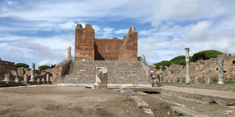
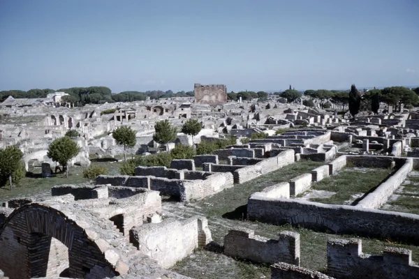
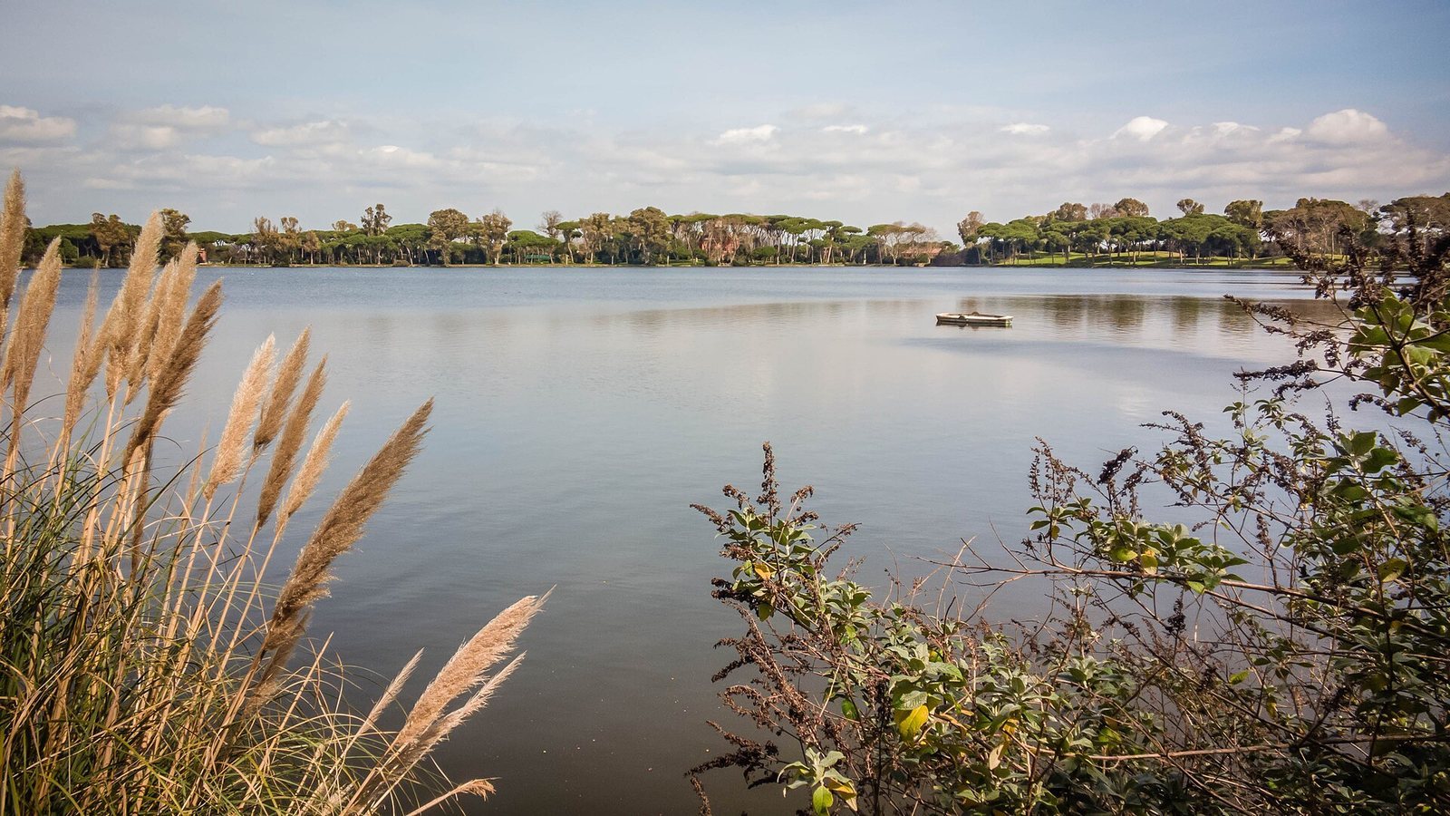
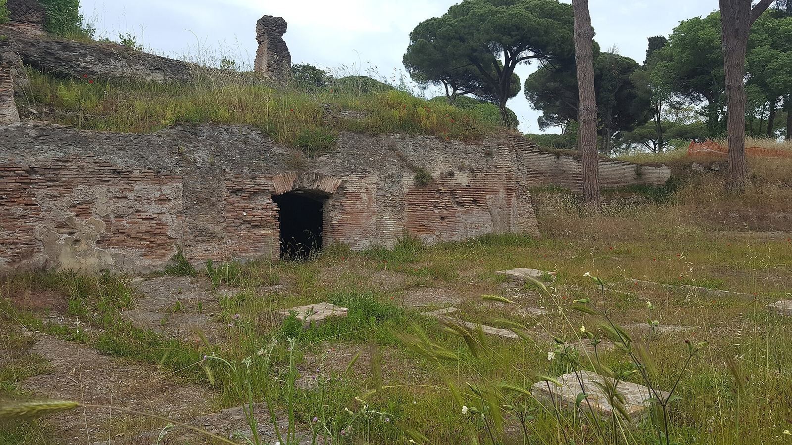
Portus occupied a harbour complex extending over 200 hectares and reaching about 350 hectares at its greatest extent. Its remains include separate harbour basins, channels, quays and extensive storage and administrative buildings. The earlier Claudian harbour opened toward the sea, while Trajan’s inland harbour centred on a large hexagonal basin. Together, the surviving features and excavated remains show a port organized around water routes and facilities for handling ships and cargo.
The Claudian harbour
Breakwaters and entrance
The Claudian harbour had two long, curved breakwaters extending into the sea, with an artificial island between them and a lighthouse. The harbour faced northwest and connected to the Tiber through a channel running southeast. A large section of the northern breakwater has been excavated and is visible near the airport.
Lighthouse
The lighthouse stood on a foundation made by filling a large Egyptian ship used to transport obelisks with stone. A vessel of this kind had carried the obelisk later erected in the Circus of Caligula. The lighthouse was probably modelled on the Pharos of Alexandria, the famous ancient lighthouse there. It appeared in ancient sculptures, mosaics and coins, and its remains could still be seen in the fifteenth century.
Roads and water routes
The Via Portuensis connected the harbour with Rome. An older road, the Via Campana, followed the Tiber’s right bank along the foot of the hills and passed the Roman salt marshes. Water channels linked the harbour system to the river and the sea. The channel between Trajan’s hexagonal basin and the Tiber remains visible.
Trajan’s harbour and facilities
The hexagonal basin and canals
Trajan’s inland harbour was centred on a hexagonal basin covering about 39 hectares. Its sides were approximately 358 m long, its greatest diameter about 715.5 m, and its depth about 5 m. A quay extending for around 2,000 m served a basin able to accommodate more than 100 ships, including large vessels that would otherwise have had to unload offshore. The stone-paved floor rose gently toward the northern edge, where it reached a depth of about 1 m. Canals connected the basin with the Claudian harbour, the Tiber and the sea. The Fossa Traiana, now the Fiumicino Canal, remains in use. A further canal linking Portus to Ostia, parallel to the Via Flavia, was discovered in 2010.
Trajan’s Warehouses
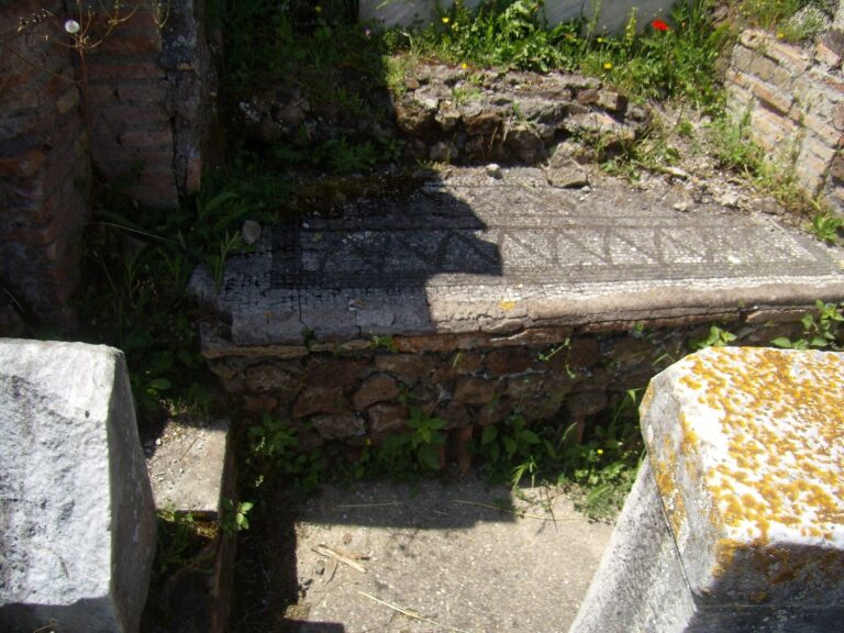
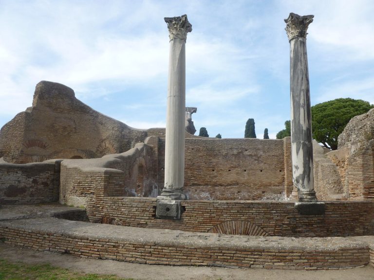
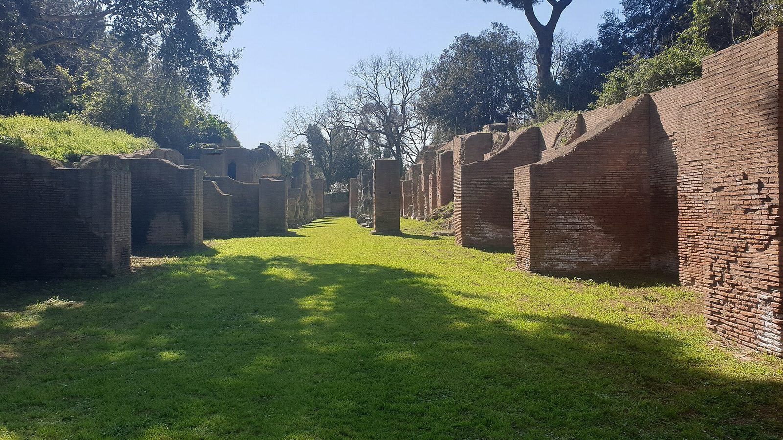
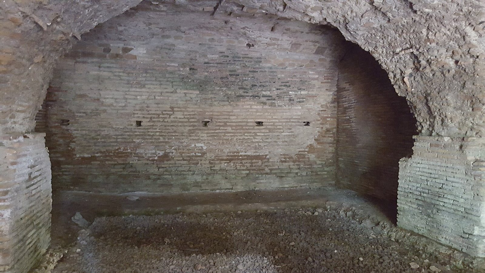
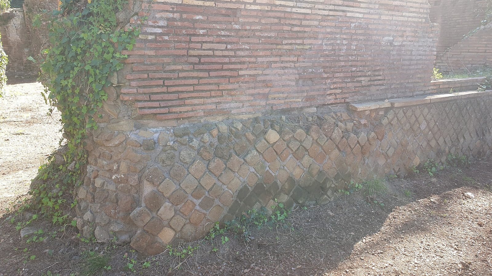
The harbour complex included quays, storage buildings, sheds and administrative facilities. Trajan’s Warehouses covered more than 3.5 hectares and contained 400 storage cells, each measuring about 400 cubic metres. Their layout followed a central axis partly marked by two rows of travertine columns, known as the Colonnaded Street. Thick walls helped limit temperature changes inside the stores. Waterproof mortar made with crushed pottery and raised floors helped protect stored goods from damp.
The Great Warehouses of Septimius Severus
The Great Warehouses of Septimius Severus served the storage of wool, grain and other perishable goods arriving from across the empire. Their role in the port’s economy has been the focus of archaeological investigation.
Imperial palace
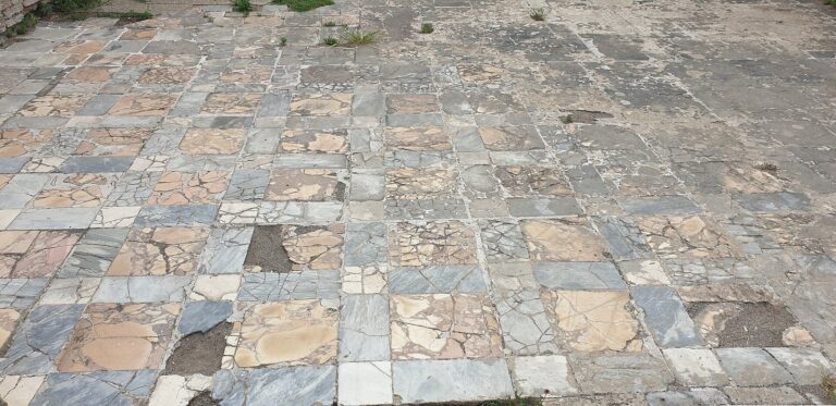
The palace occupied about 3 hectares and was built between AD 112 and 117. Its plan was trapezoidal, with an open area to the east and monumental façades to the west and south overlooking the two harbours. Baths and fountains received large quantities of fresh water. The palace served as the headquarters of the maritime prefect and received distinguished guests, including the emperor. Excavated remains include marble, white travertine and coloured mosaics.
Shipyard remains
Excavations in 2014 revealed a 12-m-wide pit associated with the shipyard, bordered by colonnades about 16 m high. Notches in the pit’s walls held supports for vessels hauled ashore. Finds included a terracotta pavement, three late-antique tombs, shipwrights’ nails, foundations for wooden cranes and mooring posts.
Temple of Liber Pater
The Trajanic complex included a temple dedicated to Liber Pater, a Roman deity associated with fertility and wine.
Other buildings and surviving evidence
Northwestern palace and amphitheatre
A large palace, probably imperial property, has been identified northwest of Trajan’s harbour. A small amphitheatre discovered in 2009 could hold about 2,000 spectators and was probably used for private performances.
Reliefs and mosaics
Reliefs and mosaics from Portus depict enslaved workers unloading cargo. A marble relief found near the harbour is generally thought to represent the city; it is held in the Torlonia Collection.